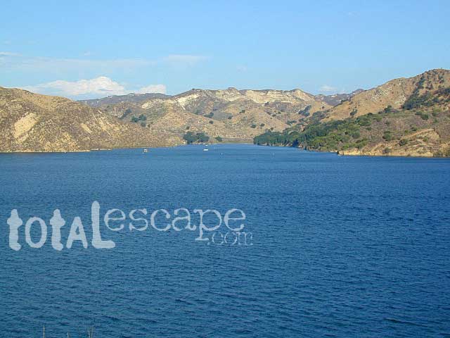
Mineral King is a magnificent canyon in the southern portion of Sequoia National Park, east of Visalia, CA. So magical indeed that Disney tried to purchase the rugged scenic lands for a wilderness ski theme park in 1960. Thankfully that project never happened, due to strong opposition from preservationists. Mineral King became part of Sequoia National Park in 1978.
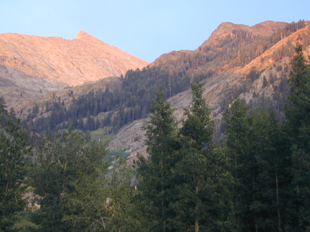
Mineral King is the Great Western Divide, where high peaks separate the foothills from the taller Eastern Sierra range. Upper Kern River Canyon lies beneath as the main south drainage from the very tallest peak, Mount Whitney @ 14,494′
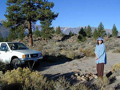
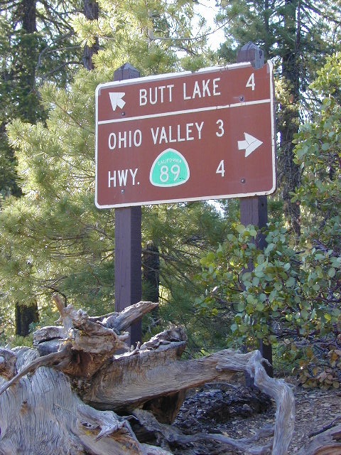
Mineral King Road is a paved off shoot from Highway 198, just to the east of the town of Three Rivers, CA. The road is steep and curvy and 25 miles long. No gasoline at all. No RV motorhomes or trailers are permitted to travel this scenic and amazing back road. Certain portions of the road are dirt and usually graded, but most of the route is paved. Snow closes the road in winter months – NOV-MAY.
We usually get less than a half year to enjoy this special place, so make plans in advance to fit this destination into your schedule JUNE-JULY-AUG-SEPT.
And do not even think of trying to cram spectacular Mineral King into an already packed Sequoia Park weekend trip. The Giant tree Sequoia groves, Hume Lake and Kings Canyon are over an hour north (hwy 198), to other side of the park.
If you have a full week to hang out in the Sequoia National Park area, then obviously Crystal Cave and Mineral King should be on the list, but keep in mind taht each destination will take a full day to drive to and explore.
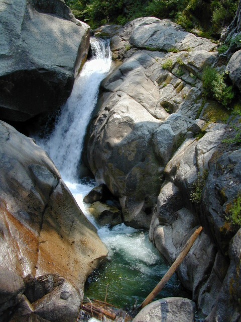
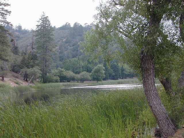
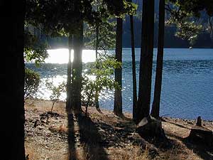
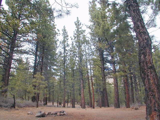
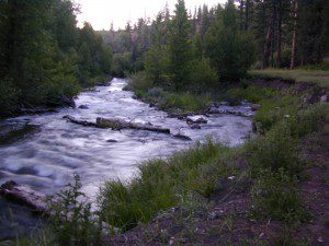
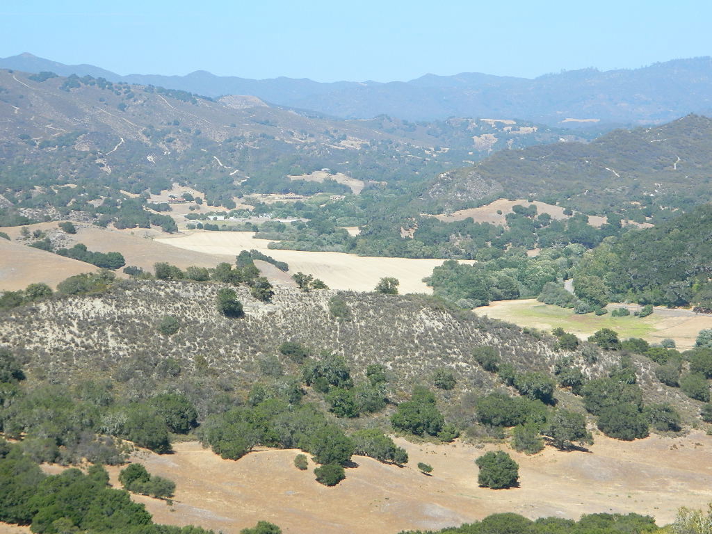
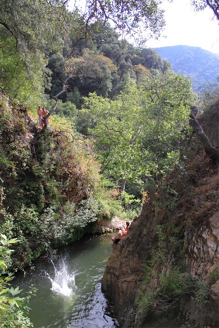
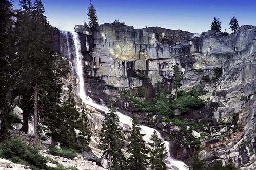
Driving the distance on Mineral King Road, the wonders abound on every curve. Wildlife, waterfalls, water flowing and the dense forests.
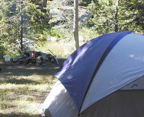
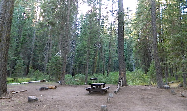
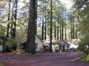
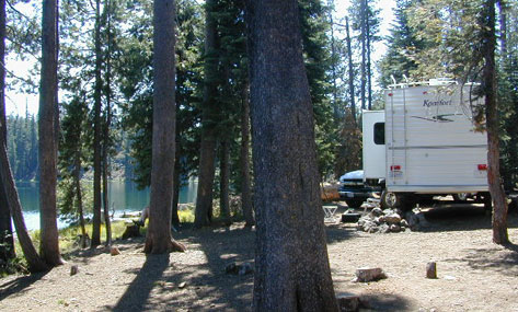
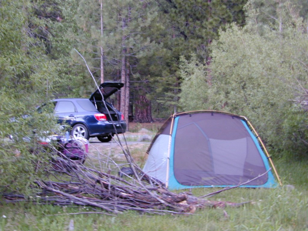
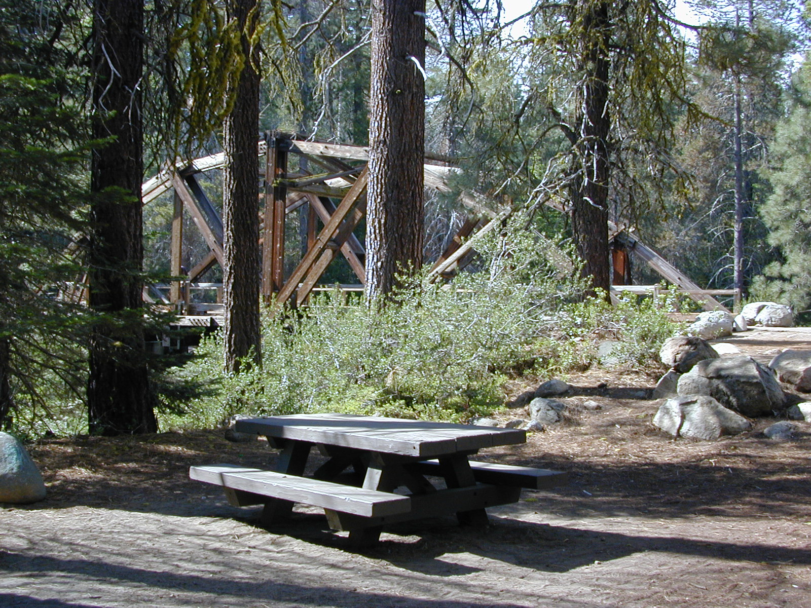
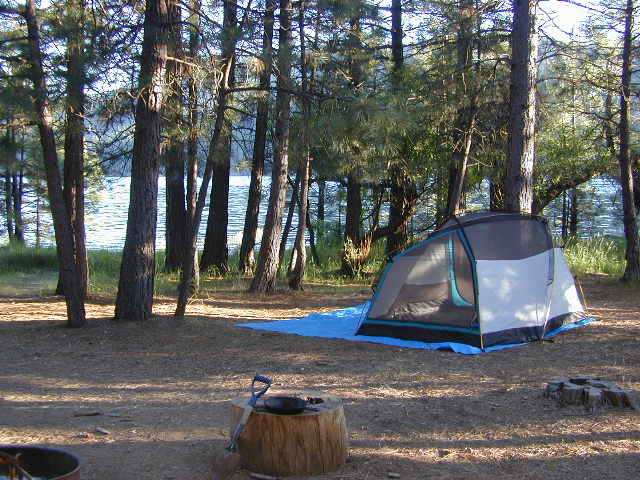
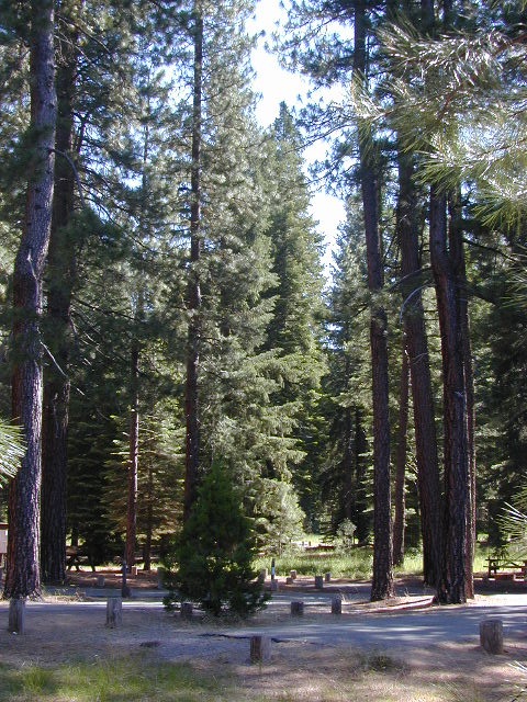
Atwell Mill Campground is located at an old wood mill site and has a good hike to a footbridge at Kaweah River. There is a small cabin community called Silver City which caters to summer crowds and family campers. Only open during the warm season.
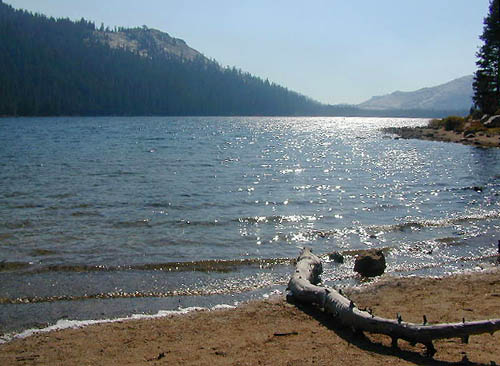
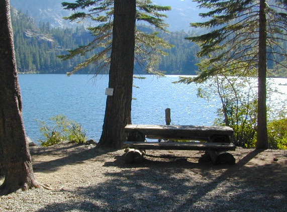
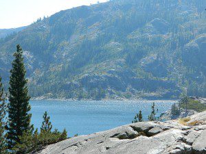
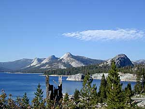
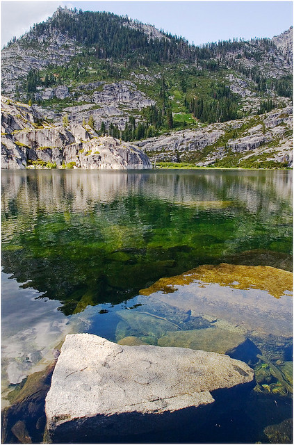
At the very end of Mineral King Road is the gravel parking. Step out into high elevation (7830′ above sea level), breathe deep and enjoy the granite bowl of alpine bliss with creeks, meadows, wildflowers, picnic spots, hiking trails and scenery everywhere. Mid day sunshine can be bright. Black bears and marmots are very common.
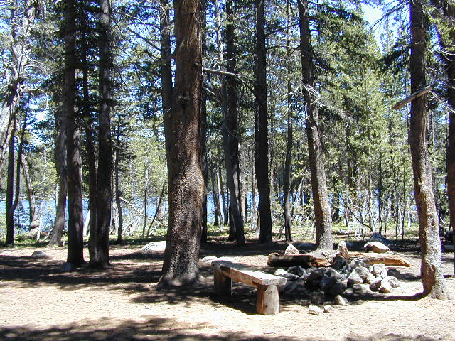
Cold Springs Campground is the last developed campground, located next to a raging creek. The hike-in sites are the best choice for seclusion at this camp.
South Fork Campground is the smallest of the campgrounds in this area; located in the foothills at 3600′ elevation, open all year. From Highway 198 (W of the town of Three Rivers), take South Fork Drive 13 paved miles to camp.
mineral king backpacking
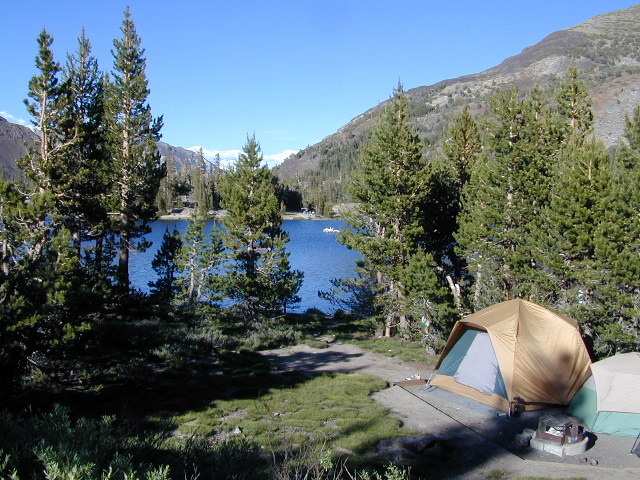
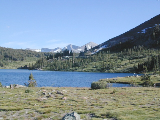
Mineral King is a favorite destination among backpackers as it gives instant access to many high country trailheads with mostly paved road driving. Located deep in the forest at end of a long road, near the center of the Sierra Nevada range gives ample hiking in every direction. The hikes are steep and challenging, but the rewards are solitude, true wildness and grandeur scenery. Although inviting, these steep passes might not be adequate for beginner backpackers, so please keep that in mind when planning. Fishing lakes, day hikes, horseback trails, waterfalls, creeks, and jagged mountain peaks.
From Mineral King you can access the these popular spots – PCT, the Great Western Divide, the Golden Trout Wilderness, Sequoia National Park, Kings Canyon High Country, Keasarge Pass, John Muir Wilderness.
top maps for the region –


 Mokelumne Map
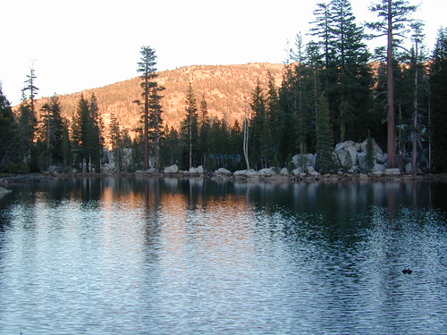