Tag Archives: mountains

Kern River Canyon

Kern Spring Wildflowers

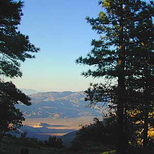
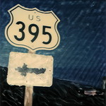
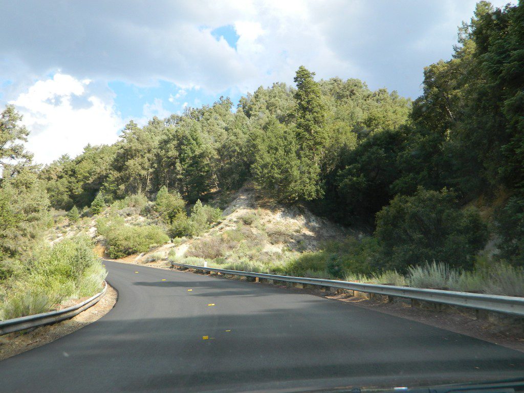
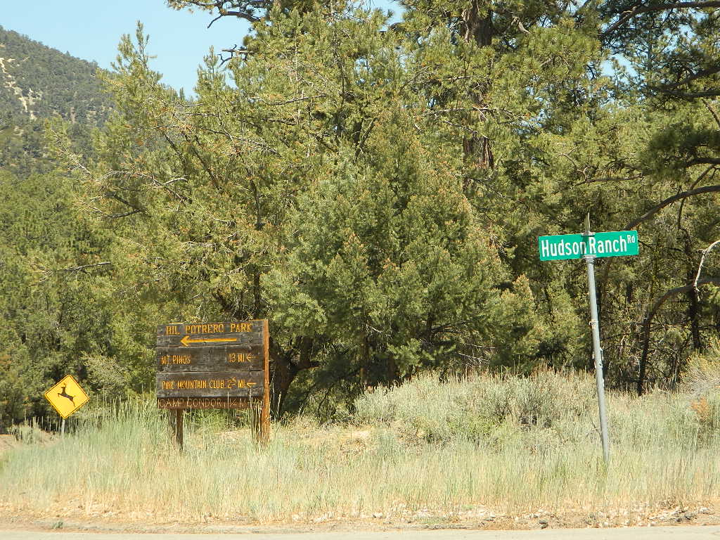
Kern River Valley is one of the all time favorite Sierra Nevada destinations for SoCal escapees. First, it is the southern most ‘big river’ action for the Sierra range. The drive up from Los Angeles is easy access; only a coupe of hours. California Highway 178 leads from Bakersfield up the mountain to Lake Isabella (exit at 155 for Kernville destinations). The 178 continues east past the rural communities of Onyx, Canebrake, Weldon, and then on to the Northern Mojave desert & US Highway 395

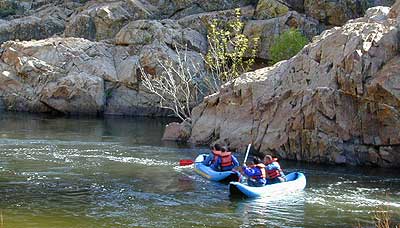
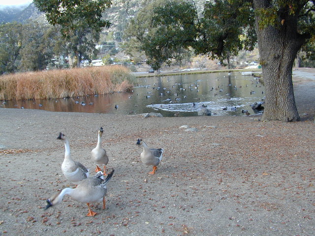
Second, Kern has an abundance of outdoor recreation, from fishing to boating, river rafting to kayaking, backpacking, mountain biking, rock climbing, horseback riding, hiking, camping, & soaking. Kernville is the “recreation headquarters” for the region, where you can find rafting outfitters, camping supplies and rental equipment.

Kern Rafting

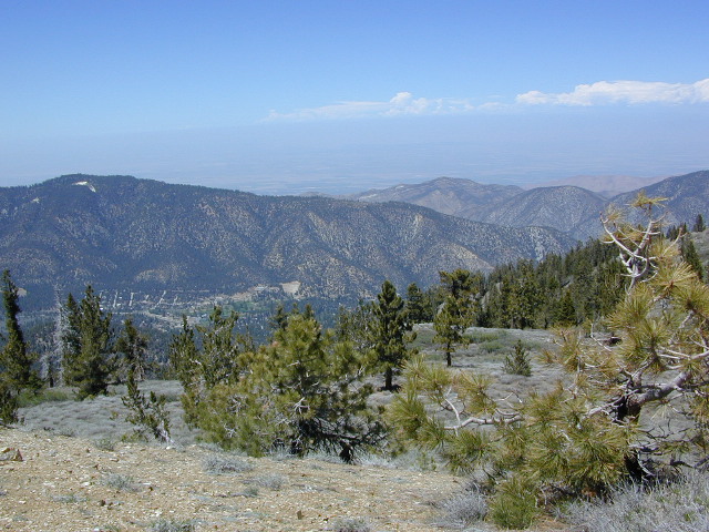
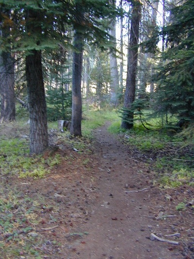
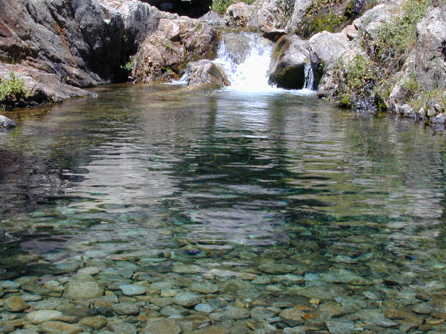
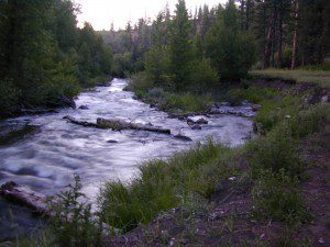
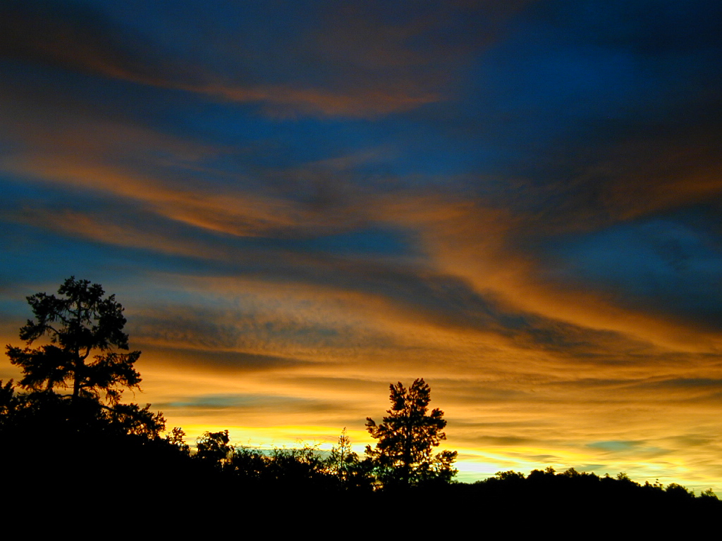
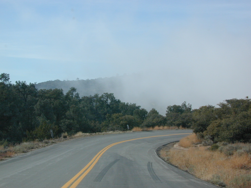
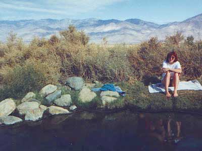
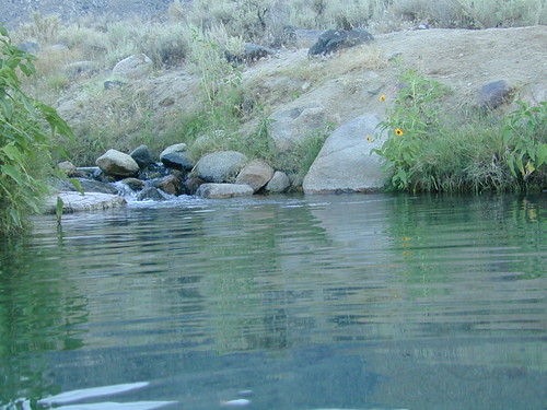
Third, the mountain scenery is very diverse – with the dry shores of Lake Isabella, the granite lined Kern River, or the ridges with towering cedar forests, plenty sugar pines, plus a few Sequoia groves; Tons of dirt back roads to explore, granite & gorges for the rock climbers, prime wilderness access & several primitive hot springs.

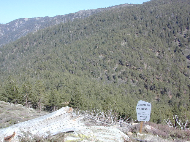
The whole area is encompassed by the Sequoia National Forest with wilderness areas to the North & East. Giant Sequoia National Monument is located along the Western Divide Hwy in the northern portion of the National Forest.

campingFIND CAMPING along the Kern River

camping Sequoia National ForestFIND ALL Campgrounds in the Kern River Canyon

Kern River Valley communities include:

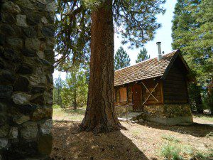
Whether you’re an RVer wanting a developed campground near town, a fisherman needing a primitive site right on the river, or a backpacker seeking the high country, the Kern has a little bit of everything. High elevations beyond 8000′ ridge lines, or the lush Lower Kern under 2000′ with granite boulders lining, Kern has it. 4 wheelers will love the extensive network of dirt back roads, or maybe the OHV areas of Keysville. Lake Isabella has numerous oak lined campgrounds & boat rentals available too. Summer is not the best time to visit as the temperatures soar to 100 degrees & the city crowds come in full force to the Kern Valley. Springtime, the best season to visit runs from March to May, or Autumn cools for September to December.

  • SEQUOIA NATIONAL FOREST MAP
  • DOME LAND WILDERNESS MAP
  • GOLDEN TROUT WILDERNESS MAP
  • SOUTH SIERRA WILDERNESS MAP
  • KernWildflowers

    HoboCampground
    Hobo Campground in the Lower Kern Canyon

    Hiking Sequoia National Forest

    Kern River Trails & Kernville Hiking

    Sequoia National Forest Trails

    Hiking Trails
    Hundreds of trails meandering throughout this forest. Granite domes to huge Sequoia trees. Most secluded areas are found in the Eastern Section in the Dome Land Wilderness.

    Dome Land Wilderness

    Golden Trout Wilderness

    South Sierra Wilderness

    Sequoia Hiking Maps, Wilderness Maps, OHV Maps

    Sequoia National Forest Hiking

    lower kern river
    the lush Lower Kern River on a misty Spring day

    Upper Kern Hiking

    Lower Kern River Hikes

    Sequoia National Forest & the Lower Sierra Nevada Mountains extend from the Tehachapi ranges to the Kings River Canyon; from the Great Central Valley to the Mojave desert.

    Sequoia National Forest MAP

    Dome Land Wilderness MAP

    Golden Trout Wilderness MAPS

    Kern River Valley communities include:

    Sequoia Mountain communities include:

    Lower Kern Camp

    Anza Borrego Desert Wildflowers

    Borrego Blooms

    Barrel Cactus Anza

    By far one of the best viewing areas for native California desert flora in the whole state. Autumn rain amounts determine the next year’s Spring bloom. If it rained real good all over SoCal before New Years Eve, chances are better for a favorable showing of color.

    Low elevations, washes, badlands, dry lake beds bloom first in February, followed by March for mid altitude canyons and mountains. Highest desert peaks may not bloom until May.

    Some of Total Escape favorite spots include:

    S-2 Great Stagecoach Route of 1849

    Anza Borrego Desert State Park
    Anza Ranger 760-767-5311

    Coyote Wash Blooms

    April is usually the best month for the wildflowers; it is also the prime time for Spring Break camping. Open car camping for free – all over this huge California State Park. The tourists typically head over to the town of Borrego Springs, to Borrego Palm Canyon and the visitors center; but the REAL wildflowers are along remote stretches of highway, and on the DIRT BACK ROADS. Many roads are passenger car accessible, for at least the first mile, so don’t think you must have a 4×4 vehicle for just simple exploring.

    Coyote Ocotillo Garden

    Hiking Mount Whitney

    Mt Whitney Trail / Mount Whitney Map

    mt whitney map
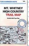
When the snow melts in the High Sierra, the rush is on! This is one of the most popular backpacking trips in the Eastern Sierra, as Mt Whitney is the highest peak (14505′ elevation) in the contiguous United States of America.

    Day hikes to the summit should only be attempted if you are in excellent physical shape & used to high altitude hiking. There are so many folks trying to hike this sought-after peak in the warmer summer months (MAY-OCT) that the National Forest has put tight restrictions on these Mount Whitney trails. You must obtain a Wilderness hiking permit for this hike & that requires waiting in a long line of outdoor enthusiasts that also seek this prime destination.

    The Lone Pine Ranger station holds an annual Whitney trail LOTTERY, where you must apply a year in advance & be granted a permit before you can set foot on this popular hiking route.

    An alternate backpacking route to Mt Whitney is the southern ridge line from the Cottonwood Lakes trailhead, but you still must verify with local authorities for permits & Wilderness passes.

    The Alabama Hills, between US Hwy 395 @ Lone Pine CA and the Whitney Portal offers camping and mountain biking trails with excellent views of Mount Whitney from below. A short drive up to the portal & you can stand in the waterfall mist & then do a day hike up to Lone Pine Lake.

    Now that we have you salivating for this epic adventure, you can start your dreaming & real planning by ordering hiking topo maps of the region. Then after you have thoroughly reviewed the maps, the terrain (as well as your own physical condition), you can contact the Inyo National Forest / Lone Pine ranger office for more specifics on dates & details. This may take years of planning to make it happen.

    lone pine roads

    The Alabama Hills sit at the base of Mt Whitney, California

    San Diego Hiking Trails

    San Diego hikes, SD hiking, San Diego Mountains

    Anza Borrego Desert Slot Canyons
    Anza Borrego Desert Slot Canyons

    Back a couple of decades ago, inspiration and research for creating this very web site began in the deserted hills behind San Diego. Escaping the city at every chance, some feel the rat race more than others. Luckily the desert is close and there is plenty of space for everyone. California boulders and badlands, hot springs, pine meadows, great views, oak forests creeks, coastal cliffs and lush canyons near downtown, SD does have some awesome hiking trails – even a few waterfalls too.

    LagunaMdws

    San Diego County Parks Map w/ links
    descanso_sign
    SD small towns w/ hiking trails nearby
    signjulian

    San Diego Hiking Maps

    ClevelandMap_07

    Central Coast California

    Central Coast Mountains / Central Coast Cali

    Within 40 miles from the Santa Barbara coast are mountains that reach near 9000′ elevation, the tallest in Kern County. Mount Pinos & Mt Able, as well as the Sespe, Dick Smith, San Rafael, Matilija & Chumash Wilderness Areas, make up this southern portion of Los Padres National Forest. There are plenty of tiny, primitive campgrounds that offer seclusion for RVs & car campers. 4×4 camps, OHV routes & parks, plus numerous Wilderness areas that will suit everyone’s need for the outdoors. A great drive for accessing this area is Hwy 33 North from Ojai.

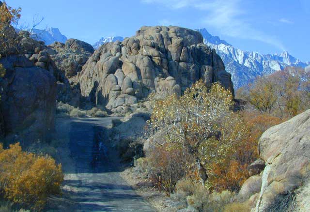
    Further up the coast is the northern section of Los Padres National Forest – which is the mountainous back drop to the magnificent Big Sur coastline. If you are seeking to camp near Big Sur without the fees of a developed Campground, these dirt road ridge lines may be your saving grace… if you don’t mind roughing it. Views over the ocean & coastline are even more spectacular than from Hwy 1, but campfire restriction can be tight in summer & fall months. There are plenty lodging opportunities, historic lodges, cabins or luxury RV parks, located in the small towns along the coast.
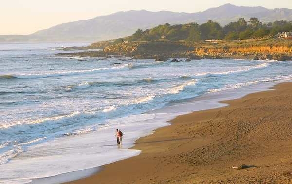
    Both Los Padres forest north & south are open all year long for recreation & camping. Only one town in this region, Pine Mountain Club, gets considerable amounts of snow (roads may be impassable without chains, AWD or 4×4). Central Coast icon Big Sur with Hwy 1 is prone to mud & rock slides during heavy rains, so plan for alternate routes & check road conditions w/ CalTrans when traveling during inclement weather.

    Central Coast forest & parks –

    Los Padres National Forest
    Andrew Molera State Park
    Julia Pfieffer Burns State Park
    Limekiln State Park
    Pfieffer Big Sur State Park
    San Simeon State Park

    Moonstone Beach Cambria

    Central Coast maps & trails –

    Central Coast towns nearby –
    Big Sur, Cambria, Frazier Park, Gorda, Gorman, Ojai, New Cuyama, Pine Mountain, San Simeon, Ventucopa

    Milpotrero

    Sierra Road Conditions

    Sierra Nevada Road Conditions – Highway California

    Snowy RoadsWinter Snow/ Winter Roads Sierra Nevada:

    On rare occasions the Golden State freeway – Interstate 5 can be closed due to snow; N of Valencia on the Grapevine (near Lebec) or more likely up in NorCal (near Shasta).

    Interstate 80 (aka Donner Pass) is often closed during big storms. Luckily there are hotels in Auburn or Truckee.

    Highway conditions on mountain passes higher than 4000′ elevation can be unpredictable in winter months (Oct-May). It may be fine & just sprinkling @ 2000′, but a few miles up can be a white out. Ask anyone who’s ever driven the infamous Donner Pass in winter time. (more on Donner Party)

    Annual Sierra Highway Closures

    Ski mountains

    shaver lakeWhere does it Snow in California ?
    Okay, okay ….so it’s nothing like those dreaded East Coast winters, but hey, some parts of California do get some serious snow. (see elevations) And the newbies who don’t prepare for it will be sorry. On the winter vacation travels, be prepared for almost anything, especially in the Sierra’s & Northern California.
    Snowy towns in California

    See California Weather & Road Conditions

    California Winter: When does winter actually ‘set in’ for California?

    Eastern Sierra CA: OCT- MAY
    Western Sierra CA: NOV- APR
    High Sierra CA: SEPT- MAY
    North Coast CA: OCT- MAY
    Northeast CA: OCT- APR

    The following mountain roads are partially closed or totally closed during winter months. Please check road conditions before you leave for your trip. Chains may be required in most mountain areas of California.

    CALTRANS web site

    Highway CA County Region Connecting Towns
    Hwy 155 Kern Southern Sierra Alta SierraWofford Heights
    Hwy 190 Tulare Western Divide Hwy Camp NelsonPonderosa CA
    M 375 Tulare Sequoia NP Hammond – Mineral King
    Hwy 180 Tulare Kings Canyon NP Hume Lake – Cedar Grove
    Whitney Portal Rd Inyo Eastern Sierra Lone Pine – Mount Whitney
    Onion Valley Road Inyo Eastern Sierra Independence – Onion Valley
    Glacier Lodge Rd Inyo Eastern Sierra Big Pine – Glacier Lodge
    Lake Rd Hwy 168 Inyo Bishop Area Hwy 168 – South Lake
    Hwy 120 Mariposa Yosemite NP Yosemite Lee Vining CA
    Hwy 120 Mono Mono Lake Lee ViningBenton Hot Springs
    Hwy 108 Mono Eastern Sierra DardenelleSonora Jct. Hwy.395
    Hwy 89 Alpine Eastern Sierra MarkleevilleLake Topaz
    Hwy 4 Alpine South Lake Tahoe Lake Alpine – Hwy 89
    Hwy 44 Shasta Lassen Volcanic NP Manzanita Lake – Mineral CA

    San Diego Picnic

    Picnics San Diego – Picnic Area San Diego

    IBbeach


    picnics

    CITY & BAYS & BEACHES:

    • Balboa Park, San Diego – 5 square miles of beautiful city park with lots of gardens
    • Bayview Park, Coronado Island – Small city neighborhood park with great view of downtown skyline
    • Silver Strand State Beach near IB or Imperial Beach, S of Coronado
    • Harbor Island Park, near San Diego airport – facing SD Bay with views of downtown skyline
    • Shelter Island, near San Diego airport – facing SD Bay with views of downtown skyline
    • Mission Bay Park, San Diego, CA – maze of bay front parks & trails; picnic areas, bonfire pits, bike trails & playgrounds
    • Soledad Park, La Jolla, CA – small neighborhood park atop a Mount Soledad, great views of county & ocean
    • Presidio Park, San Diego Mission – park like setting surrounding mission w/ gardens & trees
    • Tidelands Park, Coronado Island – large park with great view of bay, bridge & downtown skyline
    • Mission Trails Park – Mission Gorge – SD river & historic dam, hiking, biking trails
    • Sunset Cliffs, Point Loma – sit on cliff edge or take stairway to beach
    • Torrey Pines Cliffs, Del Mar, CA

    San Diego picnic parks

    laguna mountains
    View east from Laguna Mountain PIcnicgrounds

    BACK COUNTRY MOUNTAINS & DESERTS:

    vcampoutpinyonwsh

    Maps Mountains / San Diego Maps

    Camping Inyo

    Primitive Camping Inyo National Forest – Eastern Sierra Car Camping

    395 Sign

    The mighty US Highway 395 runs from the Mojave Desert north through the eastern side of California, where the state line of Nevada meets. Mount Whitney and the tallest peaks run on the western range @ 14,000’+ the highest in elevation.

    The Inyo Mountain range sits @ 11,000′ to the east side of the Sierra Nevada. Major elevations but little vegetation, when compared to it’s neighboring Sierra range. The Inyos lay in the rain shadow of the taller western mountains – but still get snow. Plenty of primitive SUV camping on the dirt roads throughout this desert area north of Death Valley.

    camp sitesA more forested part of the Inyo National Forest is the Eastern Sierra region. Encompassing Mount Whitney & Mammoth Mountain area, plus the entire Hwy 395 corridor. This side of the Inyo National Forest is quite different that the desert range of Inyo.

    Eastern Sierra back roads lead all over the place & may require 4WD. A high clearance 2WD can still get you to some awesome viewpoints & scenery. No picnic tables or toilets are available out in the boonies, but plenty of seclusion & vast open space wilderness. INYO Forest Service Map is highly advised for this area. There are many dirt roads for dispersed primitive camping w/ no fees. See the Camping Checklist to make sure you’ll have what you need.

    Open (free) Camping along Hwy 395

    Monache Meadows – This high elevation (8000′) south Sierra Meadow is accessible by 4WD truck or SUV. Near Kennedy Meadows CA

    Walker Creek Rd – quick camp in the lowlands; an easy in route camping near oaks & creek. Southside of Olancha CA, look for turn off & follow dirt road up into the tight canyon. No RVs whatsoever.

    Fish Slough Road – open desert camping w/ popular bouldering & rock climbing areas; near Indian Petroglyphs. N of Bishop, CA

    Road# 6S16 – Pine Creek Road – Camp on creek, no facilities. NW of Bishop behind Rovana.

    Lower Rock Creek Road – signed turn off US Hwy 395. Only a couple good camp spots tucked away in the trees. Small creek, very overgrown, traffic noise minimal. Nearby Round Valley @ Sherwin Pass had a big wildfire in wintertime (dry) FEB 2015!

    crowley camps

    Road# 4S02 – Owens Gorge Road – N of Bishop behind Lake Crowley. Free RV camping w/ boulders & pines

    Road# 4S86 – Laurel Lakes Road – Camp in aspens @ small lakes, high elevation; no facilities. SE of Mammoth

    Road# 2S05 – Deadman Creek – Camp in pine forest on creek; no facilities. N of Mammoth

    Road# 2S07 – Owens River Road – Camp in pine forest, near hot springs; no facilities. N of Mammoth

    Parker Lake Road – Camp along aspen creeks or in pine forest, near lakes; no facilities. E of Grant Lake on June Lake Loop (Hwy 158)

    Coyote Flat 4×4 Bishop – just west of Bishop CA is a 4 wheel drive paradise, Coyote Creek – This steep dirt road is quite a climb. A true off-roaders dream of open space, great views, large meadows, & alpine lakes. Great primitive camping along creeks, in pine or aspen forest or near small secluded lakes. Real remote Sierra high country, usually only reached by backpackers, is accessible to those who dare to venture off the beaten path of Highway 395.

    At the golf course keep your eyes peeled — from the highway take Schober Ln. / Underwood Ln. due west through a residential neighborhood to the backside of the town. Find the electrical power station to the left at the base of the hills. Veer onto the slightly paved /dirt road to the right of the station & continue straight up the sandy wash. 4×4 is recommended, since the lowest gears are needed for the careful climb. The road will begin to get steep & gain in elevation fast. The area up here changes with the mileage: passing pinyon pines on cliffs, topping off to high meadows & aspen lined creeks, finally reaching large towering pines & small alpine lakes with snow melt still visible. Basically TREE LINE. This region is most likely open only half the year, due to its high elevation of 8000’+ and winter snow.

  • BISHOP PASS TRAIL MAP
  • INYO Forest Service Map
  • PALISADES TRAIL MAP
  • WHITNEY MAPS
  • Small Campgrounds on Creek

    Road 10S69

    California Small Campgrounds on Creeks

    campground region town
    Beaver Creek Klamath NF Happy Camp
    Grider Creek Klamath NF Happy Camp
    Trout Creek Shasta NF McCloud, CA
    Bear Creek Mendocino Ukiah, CA
    Mokelumne Eldorado NF Jackson, CA
    Dark Canyon SanBerdu Idyllwild
    Grays Meadow Inyo NF Independence
    Limekiln SP Los Padres NF Big Sur, CA
    Patrick Creek 6 Rivers NF Crescent City
    Rock Creek Sierra NF Bass Lake
    McGee Creek Inyo NF Tom’s Place
    Camp Wishon Sequoia NF Springville

    Creekside Camping in California

    HIdden Falls
    creekside cabins

    Wanna do day-trips to this kinda place, fishing or sightseeing, but sleep indoors? Then check out lodging in these fine California river towns.

    Victorian Christmas, Nevada City

    Nevada City Victorian Christmas

    Victorian Christmas
    in Gold Country California

    This annual, festive holiday tradition takes place 2 Wednesday evenings and 3 Sunday afternoons in the month of December. Features holiday activities for all ages:  carriage rides, live entertainment, savory yuletide treats and libations, and Father Christmas!

    It’s a magical setting of hilly streets outlined with twinkling white lights and authentic gas lamps, wandering minstrels and carolers dressed in Victorian attire, and a myriad of visitors sharing holiday cheer and good tidings.

    Annual event: December
    Nevada City, CA
    530-265-2692

    nevadacitychamber.com/nevada-city-events/victorian-christmas/

    Nevada City Victorian Christmas

    Victorian Christmas Tree

    Cold Creek Campground

    Cold Creek Camp

    Truckee Campgrounds, Tahoe NF

    Cold Creek Campground: N of Truckee, CA

    DSCN0046

    A small developed campground along forested Highway 89, with raging creek, fishing spots, and hiking trails and mountain biking trails nearby. Paved, level camp sites, small RVs okay w/ access to the numerous Sierra Nevada destinations with several lakes and reservoirs nearby.

    This is a popular overnight stop “in route” for many campers and bikers traveling further on to the Northern Sierra Nevada mountains. You can exit off Interstate 80 @ Truckee, and be at this camp in minutes. Car camp, tent camping, a few spaces for small motorhomes. Plenty hiking and mountain biking trails.

    Cold Creek Campground, California

    on the Cold Stream;
    Campground open May-October
    (depending on snow)

    High Sierra / Tahoe Truckee Camping

    13 camp sites on Cold Stream @ 5800′ elevation; vault toilets, river and piped water, bear boxes; first come, first served camping

    Max Camper Length: 22′

    Rangers Office: 530-265-4531

    The highway traffic noise makes this place a ‘short and sweet’ one nighter top pick, great for those camping in route to another destination. Another developed camp is on the opposite side of the highway, less than a mile north called Cottonwood Campground.

    Free Camping nearby.
    If you are seeking primitive camping near this area, start with Little Truckee Summit at the lakes turn off road on SR 89 – about 2 miles south of the Cold Creek Campground.

    Tahioe USDA MapTake Tahoe Forest Road #5, a major paved road, approximately 12 miles back to the big meadows. Look for the unsigned dirt roads on left side of road nearing Webber Lake. The largest lake in the region, Independence Lake, is a paved side route off to the south. Further back on Road #5 the pavement ends at Jackson Meadows Reservoir. Very rough rocky road out to Bowman Lake w/ several developed campgrounds in the vicinity.


    Tahoe trailheads lead out to –
    alpine fishing lakes
    mountain peaks
    Treasure Mountain 7085′
    Tahoe National Forest 
    OHV Area @ Prosser Reservoir

    NEARBY TOWNS:

    ROAD CONDITIONS:

    Tahoe and Truckee are known for their brutal winters and deep snows pack. Call CalTrans ahead of your departure if you are even slightly expecting any kind of precipitation. Truckee – winter road conditions


    View Larger Map

    Oregon Hill Road

    oregon hil lroad

    Oregon Hill Road –
    Sierra Nevada scenic drives

    also known as Challenge Road, driving from the lake up

    Oregon Peak & Little Oregon Creek
    Bullards Bar & North Fork of the Yuba River

    2800′ elevation

    Oregon Hill Road connects the rural residential community of Challenge to the recreation lake called Bullards Bar Reservoir, which is bordering on the Tahoe National Forest and Plumas National Forest park boundaries.

    This bumpy, little, back road route is kind of a “short cut” for those driving from Nevada City to Oroville, CA.

    From the Sacramento Valley, N of Marysville, take Hwy 70 N to Honcut, exit freeway and find your way east to La Porte Rd. Take LaPorte Road past Brownsville and up to the next neighborhood called Challenge; Turn right at the small, one room post office in Challenge and continue 14 miles down to New Bullards Bar.

    Or, if coming in to this lake from Gold Country Highway 49, take Moonshine Road or Marysville Road. Two developed campgrounds are located at the lake shore, on the east side. Boat in camping is most popular at Bullards Bar. The closed campground on the ridge (west side, above the lake) is called Burnt Bridge and has been non operational for years now, due to numerous wildfires.


    View Larger Map

    bullardsbarrecr

    New Bullards Bar Reservoir is a prime water sports recreation and house-boating destination, nestled in between the Gold Country and the Sacramento Valley near Yuba City, CA.

    Fiesta Days in Frazier Park

    Frazier Park~ 2/10/07

    Frazier Fiesta Days

    40+ years running, this small mountain town fair is a local favorite in Frazier Park, California. Family fun and festivities include a parade, live local bands, carnival & rides, vendors, dances, pet show and maybe even a fishing derby.

    Annual event; August

    Mountain Memories Association
    P.O. Box 858, Frazier Park, CA 93225
    661-623-2340

    frazierfiestadays.org

    Frazier Park CA

    Frazier Pond

    Ellen Langsfeld

    DSCN1422

    Castle Crags Wilderness

    NorCal Hiking
    Castle Crags State Park
    CastleCrags Wilderness

    12,232 acres
    Northern California Mountains
    South of Dunsmuir, CA
    Interstate 5
    exit #724 – Castella

    backpacking, camping, creek fishing, hiking, mountaineering, lakes, rock climbing, snowshoeing, swimming, waterfalls

    About an hour north of Redding, you can see those impressive peaks off to the left above the lush forest. Way up off the west side of I-5, lies a hiking paradise of scenic lakes, waterfalls and wildflowers. Opposite the freeway from Mount Shasta; Just south of Lake Siskiyou.castle crags

    Castle Crags Wilderness neighbors the Castle Crags State Park, which is surrounded by Shasta-Trinity National Forest. This area is named for 6,000′ tall glacier-polished peaks and pointed crags. Due to their relatively low elevation, year-round recreation, hiking, backpacking, and rock climbing are popular spring through fall. Snowshoeing near Castle Lake is excellent.

    Castle Crags State Park
    530-235-2684

    Castle Crags State Park Campground
    76 developed campsites
    6 environmental campsites

    Max Camper Length: 27′
    Max Trailer Length: 21′

    28 miles of hiking trails (2.7 mi access trail to Castle Crags Wilderness)
    The Pacific Crest Trail also passes through the park.
    Dogs not allowed on park trails.

    Shasta-Trinity National Forest
    Mount Shasta Ranger District
    204 West Alma
    Mt. Shasta, CA 96067
    530-926-4511

    Climbing at the Crags:
    the Cosmic Wall & beyond

    regional history: The northwest area contains the largest glacial cirque, Castle Lake, which is near where the Modoc War’s 1855 Battle of Castle Crags took place. Now a historical landmark, the battle was fought on a ridge saddle between the lake and what is known as Battle Rock. The Wintu tribe inhabited the area, they called the crags the Abode of the Devil and the Spanish explorers called it Castle del Diablo (Castle of the Devil.) read more on wiki

    nearby towns –


    View Larger Map

    Cerro Noroeste Road

    Fresh Blacktop 2011

    Scenic Drive California: Cerro Noroeste

    Tejon Pass, Frazier Mountain, Tecuya, San Emigdio, Mount Pinos, Apache Saddle, Mount Abel, Quatal Canyon, BitterCreek, Klipstein Canyon

    Los Padres NF – Cerro Noroeste Road #9N05

    One of the best driving roads in Central California!

    Motorcycles love this route.

    Los Padres National Forest stretches from Ojai to Monterey, mostly along the California Central Coast. If you are traveling on Interstate 5 (atop the Grapevine, Tejon Pass) and you wanted to head westbound,  then you really want to take this scenic route.

    Exit Frazier Park Rd @ Lebec, on the top of the Grapevine (Interstate 5 N of jct Hwy 138). Proceed westbound thru the Frazier Park stop sign (5 mi), up the hill past the turn off for Lockwood Valley Road. Frazier Mountain Park Road now becomes Cuddy Valley Rd, continue up to pine trees. Turn right on Mil Potrero Highway & drive thru Pine Mountain Club (4-8 mi). Continuing past the golf course, heading up to Apache Saddle.

    Approximately 6000′ at a forested intersection is the ‘saddle’ with ranger station. The paved road is now considered Cerro Noroeste Road.

    A left turn will bring you up to Cerro Noroeste 8286′ elevation. (10 mi/closed in winter) This mountain peak is also known as Mount Abel.

    At the saddle, continuing straight (veering right) through the P&J forest (pinyon and juniper) to the gorgeous rolling hills, fog & cloudscape countryside of ..

    HUDSON RANCH ROAD

    WTF? Recently county authorities have renamed Cerro Noroeste Rd to Hudson Ranch Rd, which has many locals infuriated and of course, keeping visitors confused. There is a popular Hudson Ranch up near Napa Wine Country, but this is not named after that location. Rumor has it that one local family complained to Kern County about the difficulty of spelling ‘Cerro Noroeste’ for outsiders. Go figure! Want a local roadway name changed? Easier process than imagined – just file a suggestion w/ Kern County.

    HUDSON RANCH ROAD

    Bitter Creek Wildlife Area & Highway 166 (23 mi) are all out this way. Sports cars & motorcyclists love this route, so do hikers & hunters. Every weekend you can find hundreds of bikes cruising this scenic byway.

    Best Sunset Drives
    Numerous forest roads can be found out this way. Quatal Canyon #9N09 is a great side route to explore if you like long dirt roads, red dirt, lupine & pinyon pines. Chumash Wilderness backcountry access is way back in this super scenic canyon. Toad Spring Campground is a small site located near the top of the canyon, only half mile off the pavement.

    Forest Road #9N27 leads up to Caballo Campground & even further out to the steep ridge line, Marion Campground & Blue Ridge 4×4 trail. Across from the Apache Saddle Ranger Station, San Emigdio dirt road #9N34 climbs to 7400′ elevation and has a great viewpoint. Unsigned San Emigdio 4×4 trail starts at the viewpoint and heads east.

    Way out west on Cerro Noroeste Road is Valle Vista Campground, with new a outhouse. This small campground is perched on the edges of red cliffs overlooking the great Central Valley of California.

    Klipstein Canyon, a side route/short cut to Taft, offers decent wildflower displays in springtime. San Andreas faultline uplift is also evident on this detour. Road Closed barriers seem insignificant, as many drivers just skoot around them.

    CerroNoroeste

    nearby towns:

    Pine Mountain Club, CA
    Frazier Park, CA
    Ventucopa, CA
    Taft, CA
    New Cuyama, CA

    Keough Hot Springs

    Keough Hot Ditch
    HWY 395. Bishop. First Keough visit w/ Ted, 1990

    Keough Hot Springs

    Keough Hot Tubs, Eastern Sierra

    Keough Hot Ditch

    7 miles North of Big Pine & 7 miles South of Bishop;
    on the west side of Hwy. 395

    Keough California is comprised of two soaking spots – a small resort and the primitive tubs below. An Eastern Sierra rustic Hot Springs Resort w/ campground, tent cabins rentals and nice landscaping. Big, clean hot pools at the top of the road. Entrance fees, trees and vegetation, next to the mountains. Seniors and families frequent this place. Swimsuits are required.

    Keough’s Hot Springs Resort
    800 Keough Hot Springs Road
    Bishop, CA 93514
    760-872-4670

    Keough Hot Springs

    The Ditch

    Below the resort and above the highway, are some primitive, free hot pools that require dirt road driving. Public nudity is common. Open 24/7 w/ several brush lined pools on the eastern slopes of the Sierra Nevada Mountains overlooking the high desert of the Owens Valley. Quite impressive for being just off the highway. Buzzing, huge powerlines overhead are one of the only drawbacks of this soak spot. This place can get crowded at certain times.

    Posted: No overnight camping allowed at these lower hot springs.

    Soaking at Sunrise

    US Highway 395:
    Look for the turn off in between Bishop and Big Pine, California. Take the Keough Hot Springs Road up hill until the second dirt road, turn right and the primitive hot springs will be on the left, just beyond the cold stream crossing. Sometimes a high clearance might be needed. Cars should park and walk the if unsure of the terrain. Do not park right next to the soaking tub, as the ground is too weak and vehicles have been known to slide in, unexpectedly. No kidding!

    Plenty great camping all around the Eastern Sierra region. For campsites with cooler temps, higher elevation, pine trees & creeks: Head for the Glacier Lodge Rd – Inyo Road #9S21, West outta Big Pine.

    Adventurous 4x4s can try super remote Coyote Flat, a super high elevation pinyon plateau that overlooks Bishop. Also Highway 168 W outta Bishop will lead to primitive camping areas like The Buttermilks, a rock climbing area. Further up the hill is alpine lake and creek camping in aspen groves.

    Many developed Campgrounds in the region.


    View Keough Hot Springs in a larger map
    also nearby:

    Inyo Forest Maps

    Ishi Wilderness

    Bridge and Chute from top of Black Rock

    NorCal Ishi Wilderness

    41,840 acres
    20 miles N of Chico, CA
    Lassen National Forest

    • Barkley Mountain (elev. 4488′)
    • Black Rock Campground
    • Deer Creek
    • Flat Iron Mountain (elev. 4400′)
    • Iron Mountain (elev. 3274′)
    • Indian Ridge Campground
    • Mill Creek
    • Peligreen Place
    • Pine Creek
    • Pinnacle Peak (elev. 3293′)
    • South Antelope Campground
    • Twentymile Hollow

    Up in the mountains behind Chico sits a rugged landscape of deep canyons lined with bizarre rock formations and roaring mountain creeks. Wilderness encompasses lower elevations – ranging from 1500′ – 3500′  – making this outdoor destination a winter haven, when the rest of the backcountry is covered in several feet of snow. One of the most historic wilderness areas in the state, as the aboriginal existence of the Native Americans came to an end in this area.

    COHASSET ROAD climbs up the volcanic fin of Cohasset Ridge into the pine forests high above the valley floor. The paved road becomes dirt and the road name changes to Ponderosa Way (Lassen Road# 28N29). The Ishi Wilderness can also be accessed from the north side via Highway 32, near the Tehama State Game Refuge.


    View Larger Map

    • backpacking trails
    • hiking trails
    • fishing creeks
    • horseback trails
    • wildlife viewing


    Ishi Wilderness mapIshi Wilderness Map

    Ishi Wilderness


    West Kern

    festivals kern

    CA Kern / western Kern county

    Kern County is known for its oil, its agriculture, and outdoor recreation. The Kern River is the highlight of the region with lush, green and grey granite canyons, a big reservoir & the Sequoia trees just up the road. On the western side of Kern County are small towns like Frazier Park, the golfing cabin community of Pine Mountain Club, plus the oil meccas of Maricopa and Taft. Expansive Lockwood Valley enters into Ventura County. Cuyama River borders Santa Barbara & SLO counties.

    Much of the western Kern area is rural ranch land, desert or forest. Los Padres National Forest, Chumash Wilderness, Bittercreek Wildlife Refuge, Wind Wolves Preserve, Buena Vista Reservoir, Ballinger Canyon, Hungry Valley and Fort Tejon State Park all call this region home, right on the mighty tangent of the San Andreas fault line. The San Emigdio range and the surrounding mountains of Mt Pinos and Mount Able design a perpendicular range to the Central Cali coastline, connecting the huge Mojave desert to the ocean. Cerro Noroeste is a very scenic drive.

    The 17 mile long Quatal Canyon, where the indian camp of Mahu Tasen hosts a Bear Dance every summer is also a wild place of bird watching, camping and hunting. The indian word for Mount Pinos is “Iwihinmu” – a sacred spot for Chumash Indians, as well as others; Chumash call it the ‘center of the world’. Locals respond regularly with music, hikes, star gazing, drum circles (seasonally) and local festivals (annually) .

    PHOTOS: Los Padres Photos | Miller Jeep Trail Off Roading Photos

    Drum Camp Pinos | Drumming Cerro Noroeste

    Tecuya Ridge

    Tecuya Ridge, Cuddy Valley 4×4 trails can keep you busy for a whole weekend of back road exploring.

    boating, camping, dirt biking, fishing, hiking, horseback, hunting, mountain biking, off roading, skydiving, xc skiing

    DSCN0029

    Quatal Canyon

    Chumash Wilderness

    Chumash Wilderness
    Los Padres National Forest

    38,150 acres
    Mount Pinos – 8831′ elevation
    Cerro Noroeste – 8286′ elevation
    Los Padres National Forest

    Terrain consists of high mountain peaks, badlands of Quatal Canyon Wash & Lockwood Valley; Steep slopes of forests, rock outcroppings, sparse forest areas, on border of Kern County & Ventura County. This area is sacred to the native California Chumash tribe.

    Quatal Canyon Rd #9N09

    DSCN0042Mount Pinos, Mount Abel, Cerro Noroeste, Westside Park, Hudson Ranch Road, Mil Potrero Highway, Lockwood Valley Road, East Dry Canyon, Apache Canyon, Cuyama River

    campgrounds nearby –

    The Peak to Peak Hike is a 7 mile, high elevation, ridge line day hike that traversed 2 of the tallest peaks in Kern County – Mt Pinos (elevation 8831′) and Mt Abel (8286′). Day hikes, equestrian trails, backpacking, mountain biking areas nearby. Steep, granite, chaparral, lightly forested w/ ponderosa and Jeffrey pines. From this ridge trail you have a 360 degree view over the entire region. The cabin community of Pine Mountain Club is to the north side (and IF the skies are really clear, you can see the Sierra Nevada mountain range too); Lockwood Valley & Ozena Valley are located to the south; Cuyama Valley to the west and the Tejon Pass w/ Frazier Park to the east.

    Off road use 4×4, dirt bikes, ATVs, and quads are common in Quatal Canyon, Apache Canyon, East Dry Canyon leading up to the wilderness edge. Rangers will ticket if they find you on the Chumash side of Quatal wash. The secluded yet inviting, wide, white sandy washes are just too tempting for some bad boys.

    Chumash trailheads are located

    • about a mile before Camp-O-Alto Campground (Mount Abel)
    • along lower end of Quatal Canyon Wash (OHV areas parallel)

    nearby towns –


    DSCN0060


    View Chumash Wilderness Area in a larger map