NorCal hiking & backpacking
Thousand Lakes California
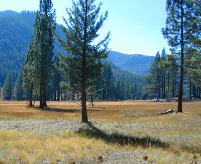
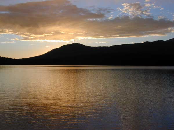
Although the name suggests more, the number of lakes in this region is approximately seven: Eiler Lake and Box Lake are the 2 largest lakes within the Wilderness boundary. Logan Lake and North Battle Creek Reservoir are on the outskirts. Trout fishing is a popular recreation sport all around Lassen. Thousand Lakes Wilderness is part of the Cascade Range in northern California. 16,335 acres and 21 miles of trails, all managed by Lassen National Forest. The area lies midway between the mountain town of Burney and Lassen Volcanic National Park.
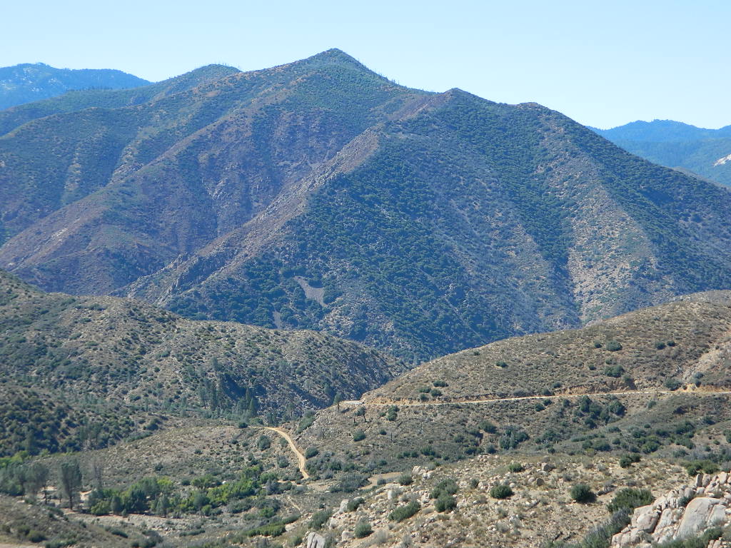
Volcanic activity and glaciers have combined to create the Lassen topography. Dominated by Crater Peak 8677′, which is the highest point in Lassen National Forest, this area is a reminder of the glacial action that eroded the original, much larger Thousand Lakes Volcano and created the many small lakes and ponds scattered throughout the region. Wildlife includes black-tailed deer, black bear, pika, pine marten, northern goshawk, spotted owl, pileated woodpecker, and Clark’s nutcracker. Even elk have been known to visit occasionally.
Lassen National Forest
Lassen Volcanic National Park
View Larger Map
Thousand Lakes Wilderness
Roads and trailheads surrounding Thousand Lakes Wilderness and the Wild Woods
Lassen Forest Road #16 – Ashpan Winter Recreation Area @ Hwy 44, leads to hikes on the west side of the Wilderness. Bunchgrass trailhead and Magee trailhead. LaTour State Forest, Ashpan Butte, Huckleberry Mountain, Fredonyer Peak, Crater Peak, and Whittington Butte. Lassen Route 16 is a graded dirt road that connects to Tamarack Road #4M001 at Burney Creek, near the north side of the Wilderness.
Road #32N17 – access to North Battle Creek Reservoir
Road #32N16
Road #32N24

Road #32N31 – access to North Battle Creek Reservoir
Road #32N18 leads to PG&E North Battle Creek Reservoir
North Battle Creek Campground: elevation 5600? / 15 camp sites / open Apr-Oct
Road #26 on the north side of the Wilderness, connects Hwy 89 @ Hat Creek, west to Road #32N22. Cypress trailhead is located on a side route nearby.
Road #32N23 is up on Burney Mountain elev. 7863′, another hang glider launch site.
Road #33N25 leads to the Tamarack trailhead
Road #34N78 off Hwy 44, near Logan Lake and route leads to McElroy Flat
Road #32N35 behind Burney connects to Hat Creek (the back way).
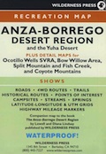
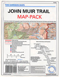
LASSEN AREA MAPS –
Lassen National Forest Map
Thousand Lakes Wilderness Map
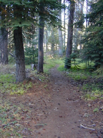
List of Thousand Lakes Wilderness trailheads:
Bunchgrass Trailhead
Magee Trailhead
Cypress Trailhead
Tamarack Trailhead
List of nearby towns:


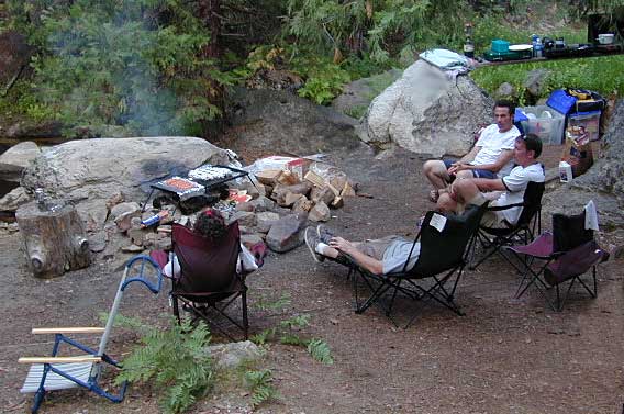


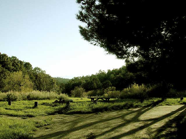


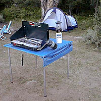
 When you go camping, you wanna explore the area. That’s why you are camping there, right? Hiking & biking trails, equestrian trails, off road routes, river, streams, waterfalls & the closest trail heads. If you prefer primitive camping, outside of developed campgrounds without all the amenities, topographic maps of the back roads give you a perfect overview on where to begin your search.