
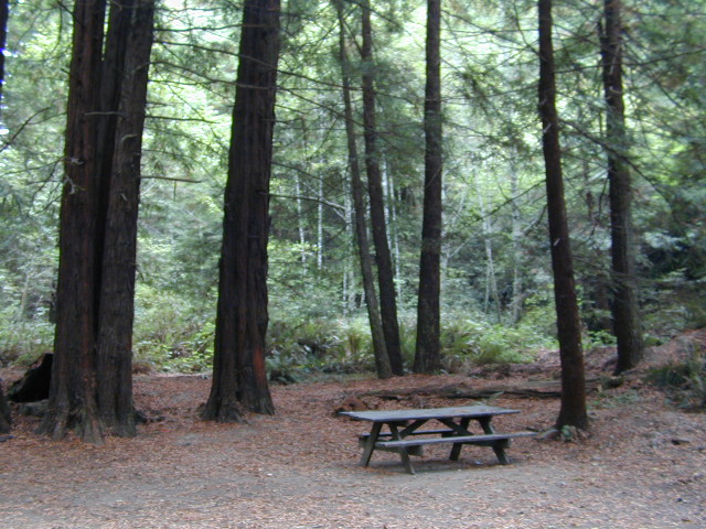
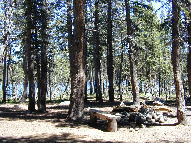
El Dorado Camping

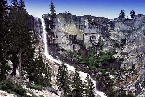
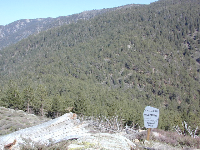
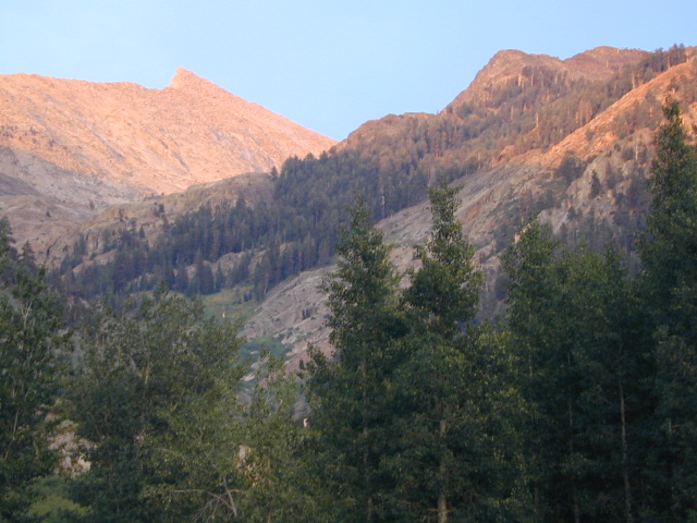
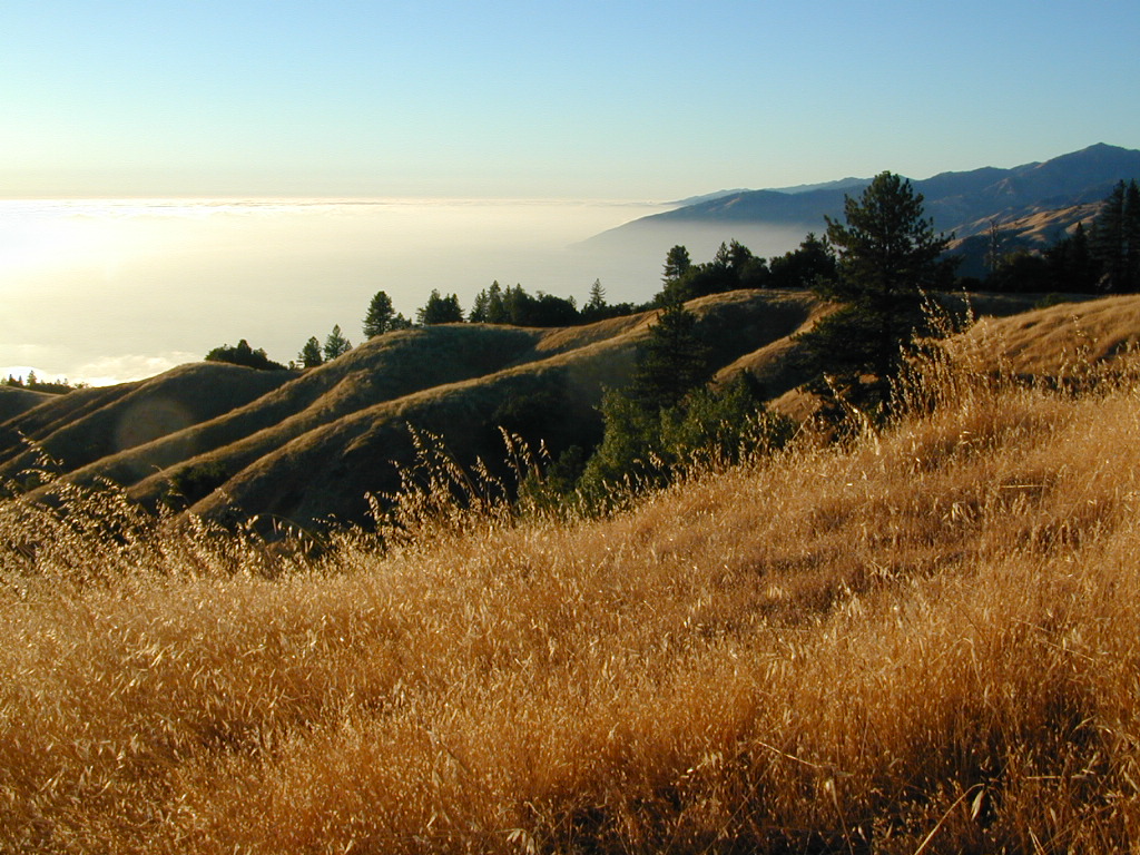
El Dorado National Forest
Carson Pass Hwy 88, Ebbetts Pass Hwy 4, Gold Rush Country
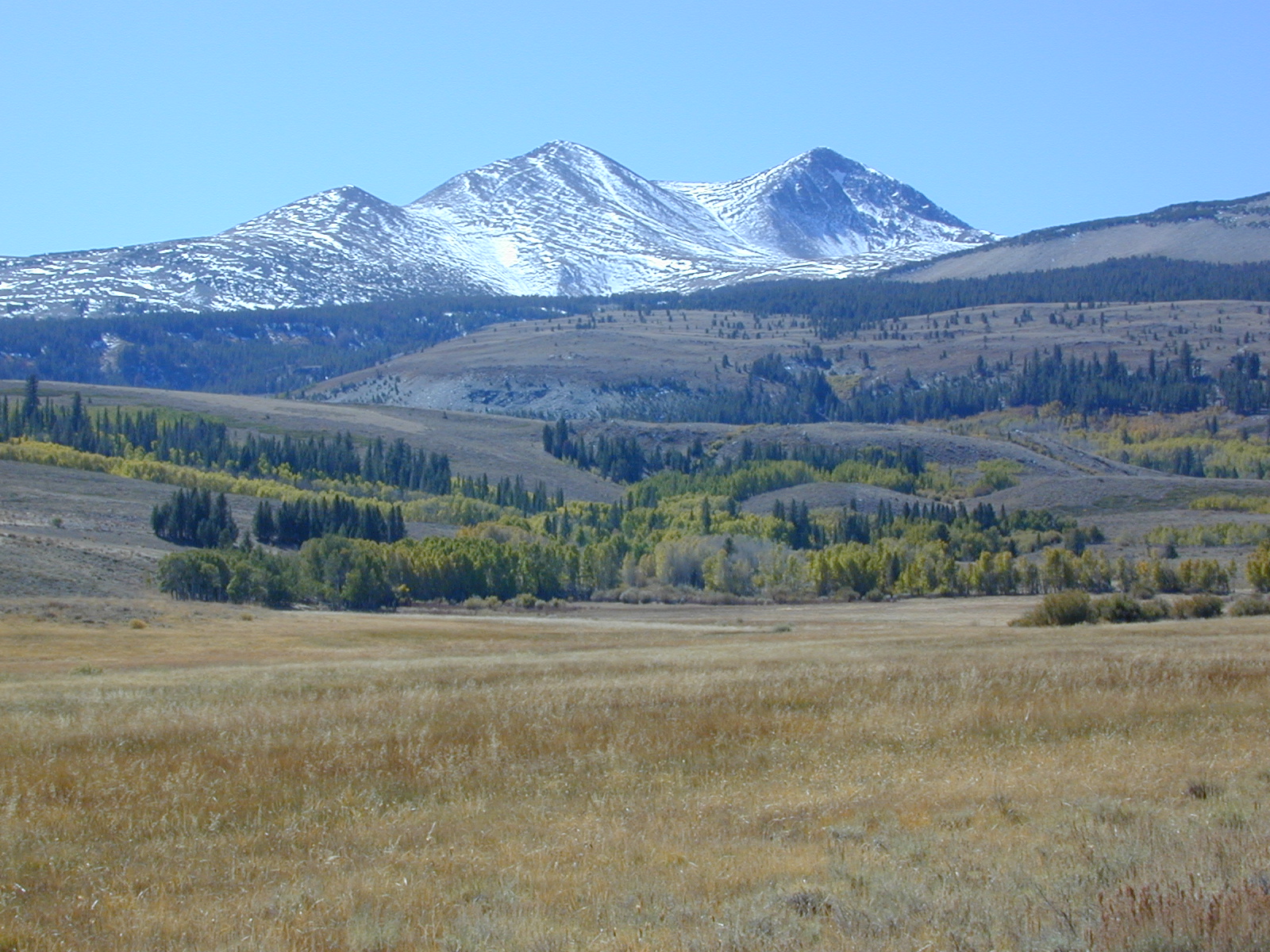
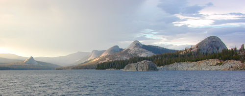
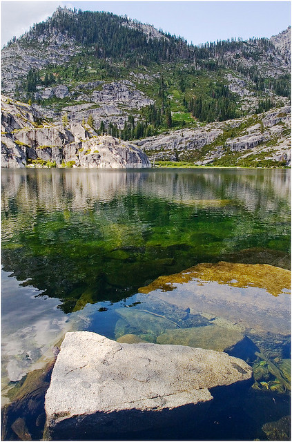
Sierra Nevada Mountains, Alpine Lakes
| campground | elev | spots | veg | toilet | water | notes |
| Airport Flat Campground | 5300′ | 16 | – | vault | no | Ice House Reservoir |
| Azalea Cove Campground | 4900′ | 10 | – | vault | lake | Union Valley Reservoir |
| Big Meadows Campground | 5300′ | 54 | pines | flush | piped | handicap access |
| Blue Lake Lower Camp | 8100′ | 16 | – | vault | piped | PG&E; fish, boat, camp |
| Blue Lake Dam Upper | 8200′ | 25 | – | vault | piped | PG&E; fish, boat, camp |
| Caples Lake Campground | 7800′ | 35 | pines | vault | piped | fishing lake |
| Capps Crossing Campground | 5200′ | 12 | pines | vault | piped | gold panning |
| China Flat Campground | 4800′ | 25 | – | vault | piped | Silver Fork Rd |
| Dru Barner Campground | 3200′ | 16 | – | flush | piped | equestrian trails |
| Gerle Creek Campground | 5300′ | 50 | pines | vault | piped | handicap access |
| Fashoda Campground | 4900′ | 30 | – | vault | piped | handicap access |
| Hell Hole Campground | 5200′ | 10 | – | vault | piped | walk-in |
| Upper Hell Hole Campground | 4600′ | 15 | – | vault | lake | Hell Hole Reservoir |
| Ice House Reservoir Camp | 5500′ | 83 | – | vault | lake | handicap access |
| Jones Fork Campground | 4900′ | 10 | – | vault | lake | Union Valley Reservoir |
| Kirkwood Campground | 7600′ | 12 | pines | vault | piped | narrow road; fishing |
| Lone Rock Campground | 4800′ | 5 | – | vault | lake | Union Valley Reservoir |
| Loon Lake Campground | 6500′ | 62 | pines | vault | piped | equestrian; group site too |
| Lovers Leap Campground | 5800′ | 21 | pines | vault | piped | rock climbing |
| Lumberyard Campground | 6500′ | 5 | pines | vault | – | RV access |
| Middle Creek Campground | 8200′ | 5 | pines | vault | piped | fishing creek |
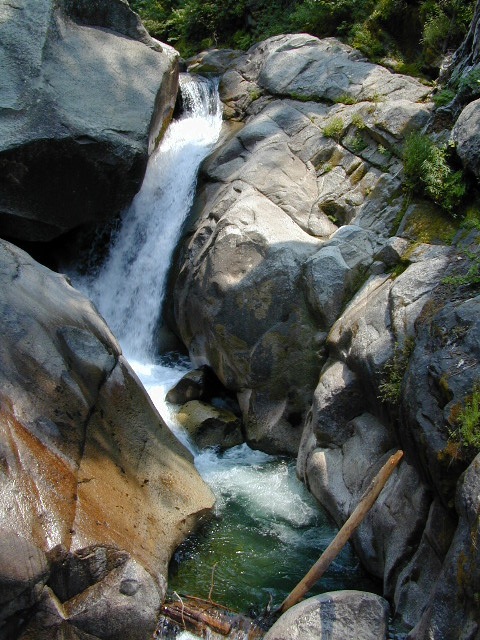
| Middle Fork Cosumnes River | 6780′ | 5 | – | vault | crk | PG&E, swim, fish |
| Mokelumne River Camp | 3200′ | 8 | – | vault | crk | swim |
| Moore Creek Campground | 3200′ | 8 | – | vault | crk | swim |
| Northshore Campground | 6378′ | 15 | – | vault | lake | Loon Lake Campground |
| Northwind Campground | 5500′ | 9 | – | vault | lake | Ice House Reservoir |
| Pardoes Point Campground | 5900′ | 10 | – | pit | no | Bear River Reservoir Rd |
| Pipi Campground | 3900′ | 51 | – | pit | no | handicap access |
| Sand Flat Campground | 3900′ | 29 | – | pit | no | fishing |
| Silver Fork Campground | 5500′ | 35 | – | vault | piped | fishing |
| Silver Lake Campground | 7200′ | 62 | pines | vault | piped | boating lake |
| South Fork Campground | 5200′ | 17 | – | vault | piped | fishing |
| South Shore Campground | 5900′ | 22 | – | vault | piped | Bear River Reservoir |
| Strawberry Point Camp | 5500′ | 10 | – | vault | lake | Ice House Reservoir |
| Stumpy Meadows Campgr | 4400′ | 10 | – | vault | lake | handicap access |
| Sugar Pine Campground | 6000′ | 10 | – | vault | no | boating |
| Sunset Campground | 4900′ | 131 | – | vault | piped | boating |
| Wench Creek Campground | 4900′ | 100 | – | vault | crk | boating |
| Wentworth Springs Camp | 6200′ | 8 | – | vault | crk | 4WD recommended |
| West Point Campground | 4875′ | 8 | – | vault | lake | Union Valley Reservoir |
| White Azalea Campground | 3500′ | 6 | – | vault | crk | Mokelumne River |
| Wolf Creek Campground | 8200′ | 42 | – | vault | piped | boating, fishing |
| Woods Lake Campground | 4900′ | 25 | – | vault | pump | handicap access |
| Yellowjacket Campground | 4900′ | 40 | – | vault | piped | boating, fishing |
see more about El Dorado National Forest

nearby towns –
El Dorado Forest Maps –


 The infamous Pacific Crest Trail passes close to Long Valley Campground, but


 Ishi Wilderness Map


