Category Archives: Campgrounds

Thorndike Campground

thorndike3

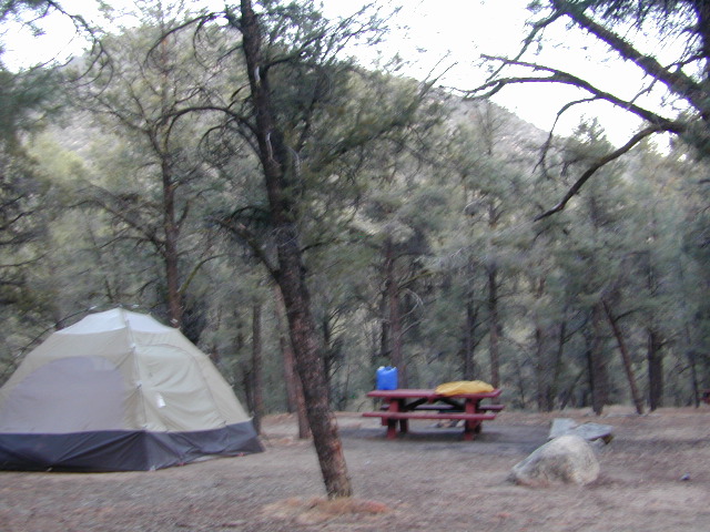
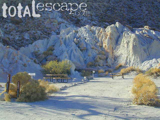
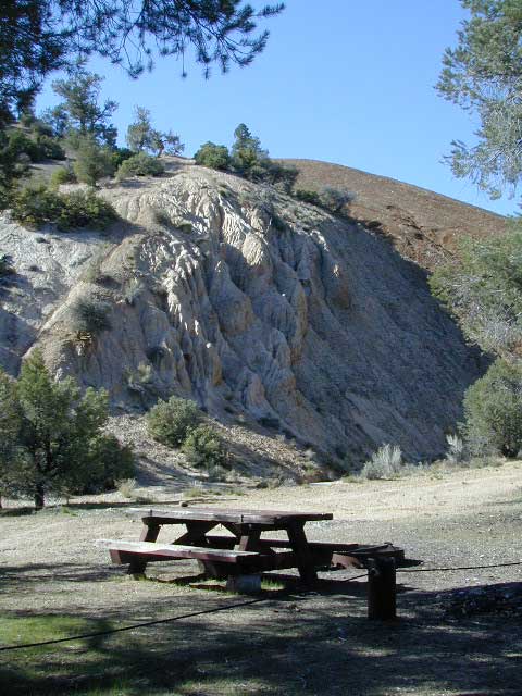
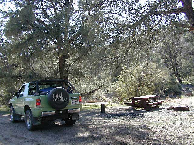
Beyond the Wildrose Canyon and the charcoal kilns of west Death Valley NP, the high desert dirt road becomes rougher and steeper. Among junipers and pinyon pines sits this remote high-desert campground. High clearance vehicle may be needed to reach this camp at Thorndike – and 4WD is recommended during inclement weather (rain, flash floods or snow). And no RV, motorhomes or trailers should be driving up this way. This is the closest camp to the historic charcoal kilns, which are walking distance away.

Mahogany Flat Campground is another 1000′ higher in on the ridge and Wildrose Campground is way down the canyon at 4000′. Wildrose is open all year long, while Thorndike & Mahogany get snow and close for the winter months.

  • Elevation: 7,400
  • Number of Sites: 10
  • Vehicle Accessibility: High Clearance Vehicle, recommended
  • Campsites Reservation: No
  • Length of Stay: 30 Days
  • Season: March – November

DSCN0065
Directions:

From Stovepipe Wells, follow Highway 190 W to Emigrant Canyon. Turn left on Wildrose Road and follow it thru the tight rocky canyon, climbing in elevation the whole way, past Wildrose Campground, past charcoal kilns, to Thorndike Campground on Mahogany Flat Rd.

From Panamint Valley, take Wildrose Road up. Turn right to Mahogany Flat Rd and proceed on the dirt road to the Campground.


View Larger Map

Death Valley MAPS –

Death Valley Park – NatGeo
Death Valley Topo Map – Tom Harrison

Nearby attractions:

Death Valley National Park
Panamint Valley
Ballarat Ghost Town
Skidoo Town Site
Charcoal Kilns
Telescope Peak
Tuber Canyon
Tucki Mine

Horse Meadow Campground

Kern Meadows Camping

Horse Meadow Campground

Salmon Creek, Kern Plateau –
Sequoia National Forest

horse camping National Forest Camps Mountain Biking Kern Hikes fish Trailer access camping
Looking to stay away from the masses camping at the Kern River?

Horse Meadow Campground can be found on the east side of the Kern River, up on the Kern Plateau. Up the infamous, steep and rugged Shermans Pass Road. How exciting!

Steep Grades

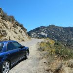
Climb the hill slowly and cautiously, no guardrails. Up the grade, Shermans eastbound – out of the dryness of the Kern canyon. Find Cherry Hill Road, that is also the Big Meadow turn off: Forest Road# 22S12, a long, narrow dirt road leads from paved Shermans Pass Road, 10 miles out to this ideal campground. Far enough off the main road, so you won’t see much of a crowd out here.

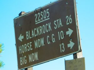
22s05 sherman pass

Hunters, horse campers and hikers really like this spot. Mountain bikers are known to frequent the region as well. Forest, meadows, trails, creeks, nature, all around. Dome Land Wilderness is close by; Waterfalls hikes, swimming holes, viewpoints. Fishing, hunting, horseback trails. Dirt roads and single track trails all over – all within the vicinity of Big Meadow.

Kern Meadows Camping

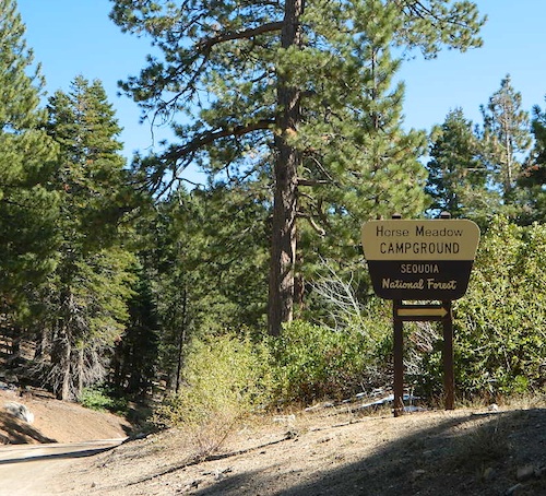
From the main Rd #22S12, the camp access road #23S08 will lead out to the NFS Campground – HORSE MEADOW. Located at higher elevation forests – 3000′ feet higher than the Kern River!

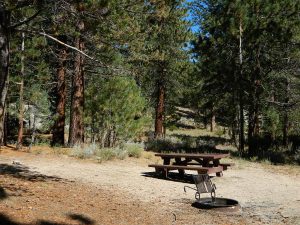
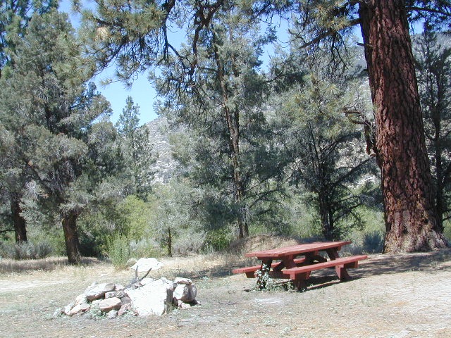
Nice forested, high country camp spots in a developed campground. The long, access road is worth it for all the scenery and seclusion. Vault toilets, piped water, maybe a small fee. Open summer into autumn, closes for winter months.

Horse Meadow Campground

• Elevation: 7600′
• Number of Sites: 41
• Vehicle Access: RV 23′ max
• Campsites Reservation: No
• Camp Fee: Yes
• Length of Stay: 14 Days
• Season: June – November
• Trailheads: Salmon Creek

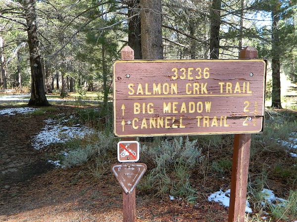
33e36trailhead
Developed Campground @ Salmon Creek Trail #33E36. Hiking trailheads lead off to various destinations like, Salmon Creek Falls, Big Meadow, Cannel Meadows and Dome Lands.

Sequoia Kern Map

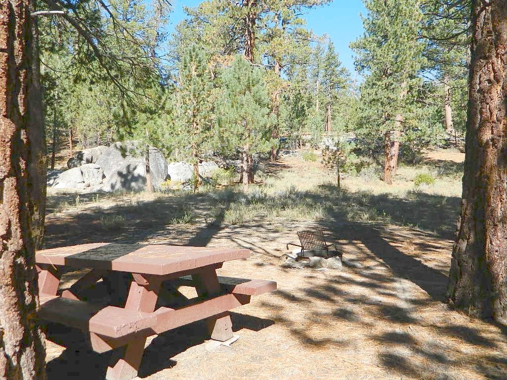
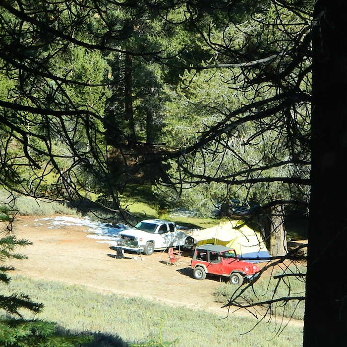
Sunny Campsite

SUMMERTIME: If you are coming in from Kennedy Meadows on the EAST (or the Mojave desert US 395) – first verify that the Sherman Pass is OPEN for through traffic. Ask road conditions with local rangers ahead of time. ANY amount of snow will close this whole paved route for the winter season, up until June sometimes.

Over 30 miles (one way) to the nearest general store for supplies. Pack ‘block ice’ in the cooler, instead of cubes.

nearby towns:
Fairview
Kennedy Meadows
Kernville
Lake Isabella
Mojave

Big Meadow is closeby. Check it out!

Big Meadow Kern

22S12 – Sequoia NF

open camping

Big Meadow: Forest Road# 22S12 – Sequoia National Forest

Take Sierra Hwy. N of Kernville, past Fairview & over the Johnsondale bridge; Right turn on Sherman’s Pass Road & drive up to a signed intersection (near a snow gate). NOTE: This area may not be accessible during winter months.

Turn right on Big Meadow Road, aka Forest Service Rd# 22S12. This is a very long road which is paved for the first few miles. 22S12 becomes a graded dirt road, suitable for horse trailers; it forks off to other smaller dirt roads, as it progresses through the forests & dead ends back by Cannell Meadow. The main routes are passenger car accessible, but some of the smaller dirt roads can get quite bumpy. A truck or SUV would be advisable to explore these secondary routes. Certain areas have suffered from wildfires 2000-2002.

Big Meadow Sequoia

Horses & equestrian camping are very popular in this region. There is also a fair amount of backpackers heading into the Domeland Wilderness and mountain bikers looking for premium backcountry rides, away from the crowds at the Kern River.

NFS developed Horse Meadow Campground can be found on the right via road# 23S08. Located at 7400′ elevation w/ 41 spots, in the forest. Trailhead to Salmon Creek leads directly from camp.

SPUR – side routes include:

  • #23S14 Cherry Hill – a few camp spots near creek & a meadow with views at the very end
  • #23S41 Poison Meadow
  • #23S13 Salmon Creek
  • #22S07 Big Meadow – loop road around the “Big Meadow”. Plenty of primitive camp sites around Big Meadow, but they are the first ones to fill up during a popular summer weekend. The region is perfect for backpackers or day hikers wanting to access Manter Mdw. & the Domelands Wilderness.
  • #24S13 feeds the last stretch of road to Rattlesnake Meadow. Taylor Creek near 24S43, features numerous waterfalls leading to the South Fork of the Kern River
  • #24S12 Cannell Meadow & Pine Flat. The Cannell Meadow National Recreation Trail runs thru here, from Big Meadow down to Kernville, CA.

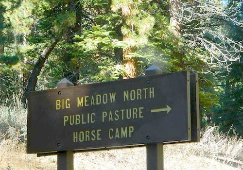
North Meadow

Sequoia National Forest

Sequoia National Forest MAP

DOME LAND Wilderness MAP

Nearby towns include:

Long Valley Campground

Secluded Camp Sites

Long Valley Campground BLM

Southern Sierra Nevada
secluded camp, fishing & hiking trails
(free campground, open all year long)

South Fork of Kern River & DomeLand Wilderness

20+ miles from the nearest paved road; a remote camp on Long Valley Loop Road, off Canebrake Road. Both are dirt roads: high clearance vehicle recommended!

High Desert meets the Sierra Mountains

Back in the dry pinyon hills east of Kernville, beyond Sherman’s Pass; high above the Mojave desert and north of Canebrake & Highway 178. Long dirt roads, remote campground w/ fishing & hiking trails. Wilderness access.

hiking fishing trails horse trails back roads back roads sierra mountains

Chimney Peak Back Country Byway
Canebrake, California

These dirt back roads listed above skirt the edge of Dome Land Wilderness & Sequoia National Forest winding through BLM Land bordering the Mojave. The byway networks recreation areas between Kennedy Meadows and Canebrake, east of Lake Isabella. Eastern Kern County, California.

backpacking
camping
fishing
hiking
horseback trails
mountain biking
rock climbing
stargazing
wildflowers

Trailheads Domeland

People come way out here for the seclusion – the peace & the quiet. Mid-week you can have the whole place to yourself. Abundant hiking trails & fishing access. Into the Dome Land Wilderness you will find incredible scenery and diverse terrain – giant granite domes, waterfall canyons, and the South Fork of the Kern River (3 mi hike to river). PCTThe infamous Pacific Crest Trail passes close to Long Valley Campground, but Chimney Creek Campground is much closer to the PCT.

BLM Camping

Long Valley Campground

• Elevation: 5200′
• Number of Sites: 13
• Vehicle Accessibility: High Clearance Vehicle
• Facilities: picnic tables, fire rings, vault toilet
• Campsites Reservation: No
• Camp Fee: None
• Length of Stay: 14 Days
• Season: Open all year
• Operated by: BLM
• Trailheads: S. Fork Kern River & Domeland Wilderness

Bureau of Land Management
BLM Bakersfield Field Office
661-391-6000
Find a BLM page w/ map & info

Recent Domeland Wild Fires:
Manter Fire (2000)
McNally Fire (2002)

Long Valley Loop
Long Valley Loop Road (2001)

2016 NOTE: The part of the LOOP of Long Valley Loop Road that connects this campground to Kennedy Meadows (to the north) is CLOSED due to a huge washout. The Long Valley campground is accessible from the south side, from Hwy 178 @ Canebrake – and requires many miles of dirt road driving. High clearance vehicles are recommended; 4×4 needed in wet weather or snow.

towns nearby:

CANEBRAKE
KENNEDY MEADOWS
KERNVILLE
LAKE ISABELLA
MOJAVE

High Desert Sagebrush
High Desert Sagebrush & Dirt Roads
Wildfire Burn
Manter Wildfire Burn Area (2001)

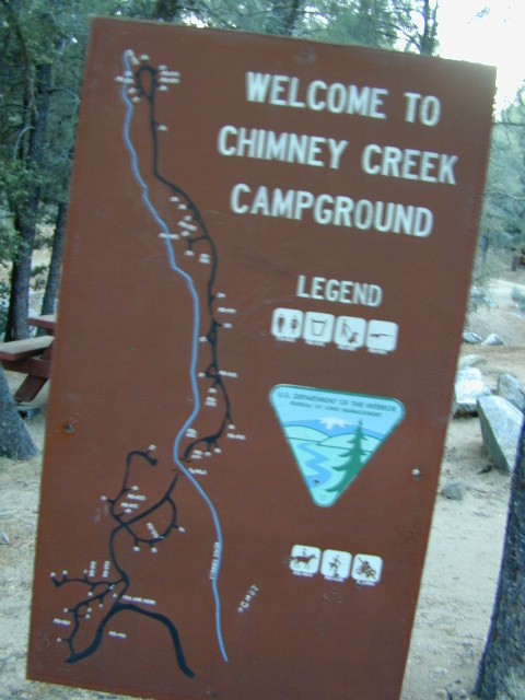
Chimney Creek Campground

campmap

Chimney Creek Campground
BLM Kern / Mojave

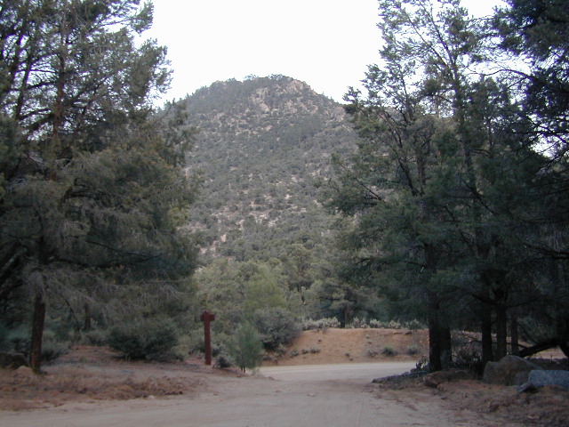
High mountain desert camp is mislabeled on some maps as “Chimney Peak Campground” or “Chimney Rock Campground”. Pinyon pine forest on Chimney Creek, near hiking trailheads, wildflowers and Chimney Peak Wilderness. Southern Sierra ridge near Mojave Desert and California SR 178.

peakpinyons

Canebrake Road is a graded dirt road that makes up part of Chimney Peak Back Country Byway. This rural route is a major graded dirt road located north of Highway 178 – which connects Canebrake to Long Valley up near Kennedy Meadows. Pacific Crest Trail passes next to this campground in the Southern Sierra mountains. The campground turn off is way east of Lake Isabella Hwy 178 is (near Walker Pass & PCT) and follow dirt road north to Kennedy Meadows in the far eastern reaches of Sequoia National Forest

Chimney Peak BLM
• Elevation: 5,700′
• Number of Sites: 32
• Camping Reservations: No
• Sites Available: First come, First serve
• Vehicle Accessibility: RV limit 28′ max
• Length of Stay: 14 Days
• Water: Piped (April – Sept)
• Toilet: Vault
• Season: Open all year
• Fee: No
• Operated By: BLM
• Closest Town: Lake Isabella, CA

Bureau of Land Management
BLM Bakersfield Ranger Station
661-391-6000

Lamont Peak
Lamont Peak – elev 7510′

nearby destinations –
Camp Kern Backroads

Chimney Peak Wilderness
Lamont Peak
Long Valley Campground
Dome Land Wilderness
Owens Peak Wilderness
Jawbone Canyon
Sequoia National Forest
Sacatar Trail Wilderness
Kiavah Wilderness
Kennedy Meadows
Lake Isabella
Kern River
Monache Meadows


View Chimney Creek Campground in a larger map

California Camping Fishing

California Camping & Fishing Destinations

CA Camping Fishing / Camping Lakes in California

Wanna camp at a California lake surrounded by pine forest & blue skies? And you want to fish the lake too? Well, you’ve come to the right spot. Total Escape features tons of great California destinations such as these listed below. Small lakes, big reservoirs, alpine favorites, plus some high country, hidden gems.

Edison Glow

Twin Lakes Campground California

Multiple developed campgrounds & resort facilities surround these two gorgeous lakes in the Eastern Sierra, next to Bridgeport CA. Hoover Wilderness trail access to the High Sierra & Yosemite too.

Lakes Basin Recreation Area

Also known as Gold Lake, this Northern Sierra Nevada region features many small secluded lakes to hike to. Campgrounds are located near the lakes, but not on the lake edge. Some of these locations have cabin rentals that are open seasonally. Sierra Buttes is the key granite feature & attraction. Frazier Falls is also close by.

June Lake Loop

Just north of Mammoth Lakes, the June Lake area is one of the best places to fish in the Autumn season. The Eastern Sierra aspens start changing colors in late September. Make your reservations well in advance for cabins or campgrounds.

Pinecrest Lake Sierra Nevada

Sierra Nevada alpine bliss, Pine Crest Lake offers camping & fishing, but no motorized boats. Plenty side creeks & hiking trails nearby

Lake Almanor California

Known as a huge fishing destination, great boating & plentiful camping resorts, this Northern California lake is situated south of Lassen Peak, near Chester CA. Family vacation favorite.

Camping Lake Tahoe

This is the jewel of the Sierra Nevada mountains, centrally located for anyone to enjoy. A huge alpine lake surrounded by parks & outdoor recreation. Campgrounds book up months in advance, so make your reservations. Or you may end up camping the back roads, Total Escape style!

Clear Lake California

And a bunch more California Lakes with prime camping & fishing…

California 4×4 access to Fishing Lakes

Blackrock Reservoir

Black Rock Reservoir, in the Western Sierra Mountains

Trinity Alps Camping

Trinity Alps Wilderness Campgrounds

Northern California Camping
Shasta Trinity National Forest

Trinity Alps Wilderness

camp


  • backpacking
  • camping
  • fishing spots
  • floating
  • hiking
  • hunting
  • kayaking
  • mountain biking
  • off-roading
  • soaking
  • swimming holes
  • tubing
  • stargazing

trinitydetail

campgrounds near Trinity trailheads –

camping Highway 3
(California State Route 3):

  • Horse Flat Campground, near Eagle Creek trailhead
  • Eagle Creek Campground @ Hwy, near Stoddard Lake & Eagle Creek trailhead
  • Goldfield Campground, near Boulder Creek trailhead
  • Big Flat Campground (via Coffee Creek Road #104)
  • Preacher Meadow Campground @ Hwy, near Swift Creek trailhead

camping Highway 299
(California State Route 299):

  • Ripstein Campground, near Canyon Creek trailhead
  • Hobo Gulch Campground, on Road #34N07
  • Hayden Flat Campground, near Big French Creek & Green Mountain
  • Denny Campground, near Jim Jam Ridge, East Fork & New River; Way out west
  • Groves Prairie Campground, near Grizzly Camp trailheadtrinityalps_lg
  • Happy Camp Campground, near Grizzly Camp trailhead

camping Highway 96
(California State Route 96):

  • Tish Tang Campground, near Tish Tang trailhead
  • Box Campground, near Red Cap Lake, Bear Hole & Mill Creek Lake
  • Klamath Riverside Campground @ Hwy, near Salmon Summit

camping Salmon River (Cecilville Road #1C02):

trinitysign
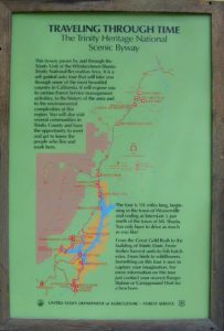
Trinity Scenic Byway (CA SR 3)

NorCal Topographic Maps – Trinity Map

Shasta Trinity National Forest Map

Pacific Crest Trail Map #6 (Shasta Cascades)

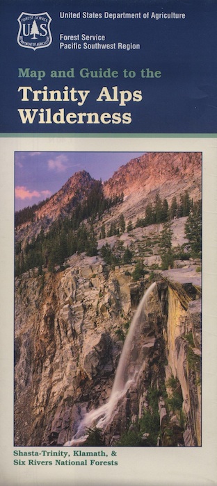
Trinity Alps Wilderness Map

outdoor destinations also nearby –


View Larger Map

Toad Spring Campground

Toadsprings

Los Padres National Forest; Toad Spring Campground

Atop Quatal Canyon on Forest Rd #9N09
– less than a mile off of Cerro Noroeste Road; just west of Apache Saddle. Cerro Noroeste Road name has changed to Harris Ranch Road (2015), so make sure to check on several maps before venturing out, just so you know.

5700′ elevation w/ 5 camp sites.
picnic tables, fire rings & no toilet. OHV trails nearby

Red dirt Quatal Canyon, next to the Chumash Wilderness & the Apache Saddle, a small campground is an oasis for the wildlife. A year round drippy, soggy natural springs feeds the meadow & trickles down the dirt road. Great birdwatching, hiking, native wildflowers & hunting.

OHV use is quite common; Quatal Cyn trails,  a long desert wash to explore. Short side canyons to the right, off of main road (9N09). Many routes may require a high clearance vehicle, but not 4×4, unless it’s raining or wet or snowy. You’ll need a Los Padres Forest map to get the most enjoyment out of this confusing landscape.  The multi-colored, eroded badlands makes great day hikes. Chumash Cliffs & Mount Abel 8286′.

Ballinger Canyon OHV Park is about 20 miles away, via Quatal Cyn & then 5 miles N on Hwy 33


View Larger Map

LOS PADRES NATIONAL FOREST MAPS – USDA
LOS PADRES EAST MAP – NatGeo
LOS PADRES WEST MAP – NatGeo

towns nearby:

PINE MOUNTAIN CA

VENTUCOPA CA

California Campground Maps

California topo mapsWhen you go camping, you wanna explore the area. That’s why you are camping there, right? Hiking & biking trails, equestrian trails, off road routes, river, streams, waterfalls & the closest trail heads. If you prefer primitive camping, outside of developed campgrounds without all the amenities, topographic maps of the back roads give you a perfect overview on where to begin your search. The ultimate creek side camp spot awaits.

The California maps we carry have developed Campgrounds featured for that region. These camps could be managed by any government agency, BLM, NPS, NFS, SP or perhaps a private campground. Below is a list of gorgeous regions that have excellent Campgrounds:

CA National Forest Maps

grover hot springs

Small Campgrounds on Creek

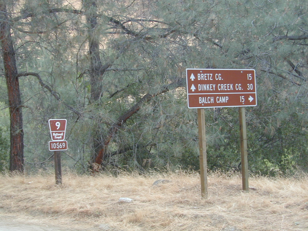
Road 10S69

California Small Campgrounds on Creeks

campground region town
Beaver Creek Klamath NF Happy Camp
Grider Creek Klamath NF Happy Camp
Trout Creek Shasta NF McCloud, CA
Bear Creek Mendocino Ukiah, CA
Mokelumne Eldorado NF Jackson, CA
Dark Canyon SanBerdu Idyllwild
Grays Meadow Inyo NF Independence
Limekiln SP Los Padres NF Big Sur, CA
Patrick Creek 6 Rivers NF Crescent City
Rock Creek Sierra NF Bass Lake
McGee Creek Inyo NF Tom’s Place
Camp Wishon Sequoia NF Springville

Creekside Camping in California

HIdden Falls
creekside cabins

Wanna do day-trips to this kinda place, fishing or sightseeing, but sleep indoors? Then check out lodging in these fine California river towns.

Cold Creek Campground

Cold Creek Camp

Truckee Campgrounds, Tahoe NF

Cold Creek Campground: N of Truckee, CA

DSCN0046

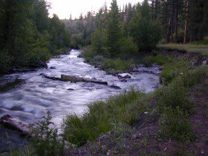
A small developed campground along forested Highway 89, with raging creek, fishing spots, and hiking trails and mountain biking trails nearby. Paved, level camp sites, small RVs okay w/ access to the numerous Sierra Nevada destinations with several lakes and reservoirs nearby.

This is a popular overnight stop “in route” for many campers and bikers traveling further on to the Northern Sierra Nevada mountains. You can exit off Interstate 80 @ Truckee, and be at this camp in minutes. Car camp, tent camping, a few spaces for small motorhomes. Plenty hiking and mountain biking trails.

Cold Creek Campground, California

on the Cold Stream;
Campground open May-October
(depending on snow)

High Sierra / Tahoe Truckee Camping

13 camp sites on Cold Stream @ 5800′ elevation; vault toilets, river and piped water, bear boxes; first come, first served camping

Max Camper Length: 22′

Rangers Office: 530-265-4531

The highway traffic noise makes this place a ‘short and sweet’ one nighter top pick, great for those camping in route to another destination. Another developed camp is on the opposite side of the highway, less than a mile north called Cottonwood Campground.

Free Camping nearby.
If you are seeking primitive camping near this area, start with Little Truckee Summit at the lakes turn off road on SR 89 – about 2 miles south of the Cold Creek Campground.

Tahioe USDA MapTake Tahoe Forest Road #5, a major paved road, approximately 12 miles back to the big meadows. Look for the unsigned dirt roads on left side of road nearing Webber Lake. The largest lake in the region, Independence Lake, is a paved side route off to the south. Further back on Road #5 the pavement ends at Jackson Meadows Reservoir. Very rough rocky road out to Bowman Lake w/ several developed campgrounds in the vicinity.


Tahoe trailheads lead out to –
alpine fishing lakes
mountain peaks
Treasure Mountain 7085′
Tahoe National Forest 
OHV Area @ Prosser Reservoir

NEARBY TOWNS:

ROAD CONDITIONS:

Tahoe and Truckee are known for their brutal winters and deep snows pack. Call CalTrans ahead of your departure if you are even slightly expecting any kind of precipitation. Truckee – winter road conditions


View Larger Map

Mahogany Flat Campground

Mahogany Flat – Death Valley National Park

mahgsign

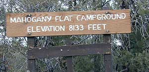
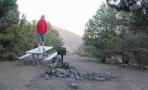
If you want trees in your Death Valley visit, than this is it. Mahogany Flats Campground is located in a juniper forest on a ridge line of the Panamint Mountains. Often windy camp sites with the highest elevation campground in the area. If you seek to get away from the desert heat, this may be the best option. Spectacular views to the east, over the Death Valley basin. Access to hiking, backpacking, off roading, mountaineering opportunities. A great place to escape summer heat, but be warned of thunderstorms. Picnic table, fire ring, pit toilets – maintained with NPS.

  • Elevation: 8,133′
  • Number of Sites: 10
  • Vehicle Accessibility: High Clearance, recommended. No RVs or trailers. 4×4 needed in heavy rain or snow.
  • Campsites Reservation: No
  • Length of Stay: 30 Days
  • Season: March – November
  • Trailheads: Telescope Peak & Tuber Canyon

greatspot_iDirections:

From Stovepipe Wells, follow Highway 190 W to Emigrant Canyon. Turn left on Wildrose Road and follow it thru the tight rocky canyon, climbing in elevation the whole way.

Passing Wildrose Campground where the pavement ends, past charcoal kilns, climbing in elevation past the pinyon pines at Thorndike Campground, up, up, way up Mahogany Flat Road.

From Panamint Valley, take Wildrose Road up. Turn right to Mahogany Flat Rd and proceed on the dirt road to the top.

View Larger Map

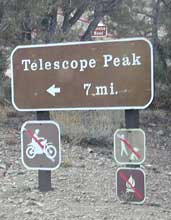
The Telescope Peak mountain range is the only place in the lower 48, where you can see both the tallest peak (Mt Whitney) and the lowest point (Badwater Death Valley).

Death Valley MAPS –

Death Valley Park – NatGeo
Death Valley Topo Map – Tom Harrison

Nearby attractions:

Death Valley National Park
Panamint Valley
Ballarat Ghost Town
Skidoo Town Site
Charcoal Kilns
Telescope Peak
Tuber Canyon
Tucki Mine

DSCN0053

telescopehike

Castle Crags Wilderness

NorCal Hiking
Castle Crags State Park
CastleCrags Wilderness

12,232 acres
Northern California Mountains
South of Dunsmuir, CA
Interstate 5
exit #724 – Castella

backpacking, camping, creek fishing, hiking, mountaineering, lakes, rock climbing, snowshoeing, swimming, waterfalls

About an hour north of Redding, you can see those impressive peaks off to the left above the lush forest. Way up off the west side of I-5, lies a hiking paradise of scenic lakes, waterfalls and wildflowers. Opposite the freeway from Mount Shasta; Just south of Lake Siskiyou.castle crags

Castle Crags Wilderness neighbors the Castle Crags State Park, which is surrounded by Shasta-Trinity National Forest. This area is named for 6,000′ tall glacier-polished peaks and pointed crags. Due to their relatively low elevation, year-round recreation, hiking, backpacking, and rock climbing are popular spring through fall. Snowshoeing near Castle Lake is excellent.

Castle Crags State Park
530-235-2684

Castle Crags State Park Campground
76 developed campsites
6 environmental campsites

Max Camper Length: 27′
Max Trailer Length: 21′

28 miles of hiking trails (2.7 mi access trail to Castle Crags Wilderness)
The Pacific Crest Trail also passes through the park.
Dogs not allowed on park trails.

Shasta-Trinity National Forest
Mount Shasta Ranger District
204 West Alma
Mt. Shasta, CA 96067
530-926-4511

Climbing at the Crags:
the Cosmic Wall & beyond

regional history: The northwest area contains the largest glacial cirque, Castle Lake, which is near where the Modoc War’s 1855 Battle of Castle Crags took place. Now a historical landmark, the battle was fought on a ridge saddle between the lake and what is known as Battle Rock. The Wintu tribe inhabited the area, they called the crags the Abode of the Devil and the Spanish explorers called it Castle del Diablo (Castle of the Devil.) read more on wiki

nearby towns –


View Larger Map

Dinkey Lakes Wilderness

Central Sierra Nevada

Wilderness lakes
Courtright Reservoir w/ CLIFF LAKE trailhead

Dinkey Lakes California

Dinkey Creek Road
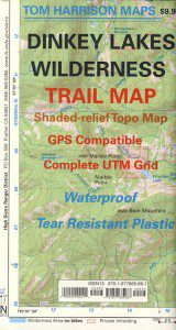
Tom Harrison Dinkey Map East of Shaver Lake, Hwy 168

30,000 acres

Sierra National Forest

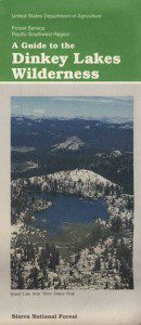
Located in the high elevations between Shaver Lake and Courtright Reservoir is the Dinkey Lakes region. Granite domes and alpine lakes are the key feature of this mid-Sierra forest. John Muir Wilderness is located on the east (right) side of Courtright, while Dinkey Lakes Wilderness is on the opposite west (left) side.

  • alpine lakes
  • backpacking
  • camping
  • creeks & streams
  • cross country ski
  • fishing
  • granite domes
  • horseback trails
  • hiking trails
  • off-roading
  • rock climbing
  • snowmobiling
  • snowshoe
  • stargazing
  • wildflowers
  • wildlife viewing

4 wheel drive trails serve some of the Wilderness boundaries. Dusy Ershim OHV Trail (pronounced ‘doosey’) crosses the boulder strewn terrain for 30 rugged miles, from Courtright to Kaiser Pass. Road #8S10 is known as ‘Red Lake Road’ and pretty popular among 4x4s and fishermen. This high clearance 4×4 trail accesses both scenic lakes – Red Lake and Coyote Lake, as well as Dinkey Wilderness trailheads.

Trailhead Access:

Access the trailheads on the north side of Dinkey Creek Road, a paved route which connects Shaver Lake to the Sequoia McKinley Grove and then on to Wishon and Courtright. Rock Creek Road #9S10 becomes dirt and leads up to the Dinkey Lakes hiking trails.

Paved Dinkey Creek Road leads out to the Trails End trailhead. Dinkey Creek and main Campground is located at 5840' elevation and tucked deep in the forest, about 10 miles east of Shaver Lake. Beyond the Sequoia grove is Wishon & Courtright Reservoirs w/ Cliff Lake trailhead. All the other trailheads located at these large lakes lead over to John Muir Wilderness.

Paved Dinkey Creek Road leads out to the Trails End trailhead. Dinkey Creek and main Campground is located at 5840′ elevation and tucked deep in the forest, about 10 miles east of Shaver Lake. Beyond the Sequoia grove is Wishon & Courtright Reservoirs w/ Cliff Lake trailhead. All the other trailheads located at these large lakes lead over to John Muir Wilderness.

The Dinky Creek locale (on most maps) is located at the main Dinky Creek Campground, along Dinky Creek near the historic Dinky bridge on a small, paved, side route north of the main road. Although this summer vacation area is well signed, people can often miss this turn, especially at night.

DSCN0005

USDA map Two main hiking trail systems can be accessed from the west, via Tamarack Ridge (parking at Hwy 168). Both dirt routes from highway, Road #9S09 and Road #8S10 lead out to Dinkey trails, although one is rugged 4×4 trail, Red Mountain OHV, and the other is a long, graded dirt road.

Kaiser Pass Road to the north side has even more trails leading into Dinkey. Badger Flat and White Bark trailheads are closest points to Huntington Lake, CA. Bolsillo trailhead is way back near Florence Lake, which also has a major trailhead and paved parking.

NFS


local rangers:

Sierra National Forest
High Sierra Ranger District
29688 Auberry Rd
Prather, CA 93651
559-855-5355

Secluded Camping
4×4 Camping at Coyote Lake


Ishi Wilderness

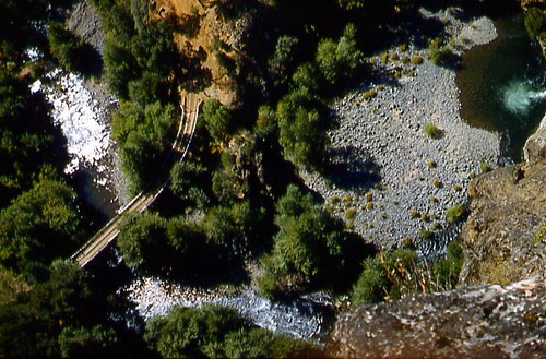
Bridge and Chute from top of Black Rock

NorCal Ishi Wilderness

41,840 acres
20 miles N of Chico, CA
Lassen National Forest

  • Barkley Mountain (elev. 4488′)
  • Black Rock Campground
  • Deer Creek
  • Flat Iron Mountain (elev. 4400′)
  • Iron Mountain (elev. 3274′)
  • Indian Ridge Campground
  • Mill Creek
  • Peligreen Place
  • Pine Creek
  • Pinnacle Peak (elev. 3293′)
  • South Antelope Campground
  • Twentymile Hollow

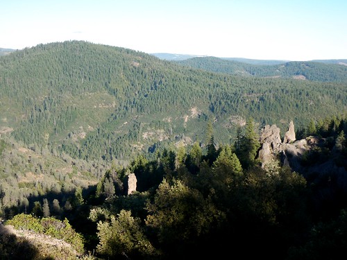
Up in the mountains behind Chico sits a rugged landscape of deep canyons lined with bizarre rock formations and roaring mountain creeks. Wilderness encompasses lower elevations – ranging from 1500′ – 3500′  – making this outdoor destination a winter haven, when the rest of the backcountry is covered in several feet of snow. One of the most historic wilderness areas in the state, as the aboriginal existence of the Native Americans came to an end in this area.

COHASSET ROAD climbs up the volcanic fin of Cohasset Ridge into the pine forests high above the valley floor. The paved road becomes dirt and the road name changes to Ponderosa Way (Lassen Road# 28N29). The Ishi Wilderness can also be accessed from the north side via Highway 32, near the Tehama State Game Refuge.


View Larger Map

  • backpacking trails
  • hiking trails
  • fishing creeks
  • horseback trails
  • wildlife viewing


Ishi Wilderness mapIshi Wilderness Map

Ishi Wilderness


Agua Caliente Hot Springs

Agua Caliente Springs

Agua Caliente County Park
Agua Caliente Anza Borrego Desert
Agua Caliente Hot Springs

East San Diego County
N of Ocotillo, CA

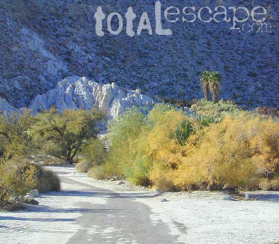
Anza Borrego Desert MapAgua Caliente Hot Springs County Park is a remote 910-acre San Diego County Park next to the Anza Borrego Desert. A developed hot springs, picnic area & a large campground. This desert destination is perfect for California winter recreation, offering a small air strip for small plane pilots.

Located North of Interstate 8 on San Diego Road S-2 on the south end of Anza-Borrego Desert State Park. Local mountain’s seismic forces created the fault that runs beneath this region & forces water up to tRV campground Anzahe desert surface. A decent water supply also supports plant life & wildlife.

For minimal crowds AVOID THIS PLACE on holiday weekends or peak winter months. Spring & Autumn are excellent times to visit here, but watch the weather forecast for any heat waves. Who wants to soak when it’s 100 degrees outside?

2 natural hot mineral pools:

  • large outdoor pool is kept at natural 96 degrees
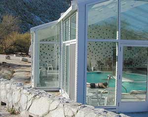
  • glass walled indoor pool is heated & has bubbling jets
  • spring-fed, warm showers are available
  • hiking trails, horseshoe & shuffleboard

Indoor Pool

Agua Caliente Campground

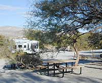
140 campsites – tent sites & RV hookups w/ dump station. Shady trees only at some camp sites. Indoor pool, outdoor pools, maybe a hike-in primitive tub too. Individual campsites may be reserved up to 12 weeks in advance 858-565-3600

  • Anza Borrego Desert Map
  • San Diego Backcountry Map

  • View Larger Map

    Anza Borrego Hot Springs
    Several nice camp spots line this canyon on the north side.

    Mineral King Camping

    DSCN0019

    Mineral King is a magnificent canyon in the southern portion of Sequoia National Park, east of  Visalia, CA. So magical indeed that Disney tried to purchase the rugged scenic lands for a wilderness ski theme park in 1960. Thankfully that project never happened, due to strong opposition from preservationists. Mineral King became part of Sequoia National Park in 1978.

    Mineral King is the Great Western Divide, where high peaks separate the foothills from the taller Eastern Sierra range. Upper Kern River Canyon lies beneath as the main south drainage from the very tallest peak, Mount Whitney @ 14,494′
    sierra topo maps

    Mineral King Road is a paved off shoot from Highway 198, just to the east of the town of  Three Rivers, CA. The road is steep and curvy and 25 miles long. No gasoline at all. No RV motorhomes or trailers are permitted to travel this scenic and amazing back road. Certain portions of the road are dirt and usually graded, but most of the route is paved.  Snow closes the road in winter months – NOV-MAY.

    We usually get less than a half year to enjoy this special place, so make plans in advance to fit this destination into your schedule JUNE-JULY-AUG-SEPT.

    And do not even think of trying to cram spectacular Mineral King into an already packed Sequoia Park weekend trip. The Giant tree Sequoia groves, Hume Lake and Kings Canyon are over an hour north (hwy 198), to other side of the park.

    If you have a full week to hang out in the Sequoia National Park area, then obviously Crystal Cave and Mineral King should be on the list, but keep in mind taht each destination will take a full day to drive to and explore.

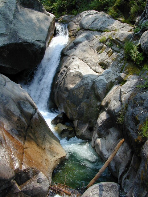
    Driving the distance on Mineral King Road, the wonders abound on every curve. Wildlife, waterfalls, water flowing and the dense forests.

    Atwell Mill Campground is located at an old wood mill site and has a good hike to a footbridge at Kaweah River. There is a small cabin community called Silver City which caters to summer crowds and family campers. Only open during the warm season.

    At the very end of Mineral King Road is the gravel parking. Step out into high elevation (7830′ above sea level), breathe deep and enjoy the granite bowl of alpine bliss with creeks, meadows, wildflowers, picnic spots, hiking trails and scenery everywhere. Mid day sunshine can be bright. Black bears and marmots are very common.

    Cold Springs Campground is the last developed campground, located next to a raging creek. The hike-in sites are the best choice for seclusion at this camp.

    South Fork Campground is the smallest of the campgrounds in this area; located in the foothills at 3600′ elevation, open all year. From Highway 198 (W of the town of Three Rivers), take South Fork Drive 13 paved miles to camp.
    KaweahFalls

    mineral king backpacking

    Mineral King is a favorite destination among backpackers as it gives instant access to many high country trailheads with mostly paved road driving. Located deep in the forest at end of a long road, near the center of the Sierra Nevada range gives ample hiking in every direction. The hikes are steep and challenging, but the rewards are solitude, true wildness and grandeur scenery. Although inviting, these steep passes might not be adequate for beginner backpackers, so please keep that in mind when planning. Fishing lakes, day hikes, horseback trails, waterfalls, creeks, and jagged mountain peaks.

    From Mineral King you can access the these popular spots – PCT, the Great Western Divide, the Golden Trout Wilderness, Sequoia National Park, Kings Canyon High Country, Keasarge Pass, John Muir Wilderness.

    top maps for the region –
    Ponderosa Flat Campground

    Butt Lake California
    Ponderosa Flats Campground

    DSCN0101

    Lake Camping NorCal

    RV camping, tent camping, fishing, hiking, swimming, boat launch, handicap accessible.

    Ponderosa Campground – PG&E Campground,  located 3 miles from Lake Almanor

    Tucked away off the main drag of Plumas Hwy 89. North end of Butt Valley Reservoir on east shore. Turn off about 6 miles northwest of Lake Almanor Canyon Dam on Hwy. 89, take Butt Valley Road south for 3.2 miles.

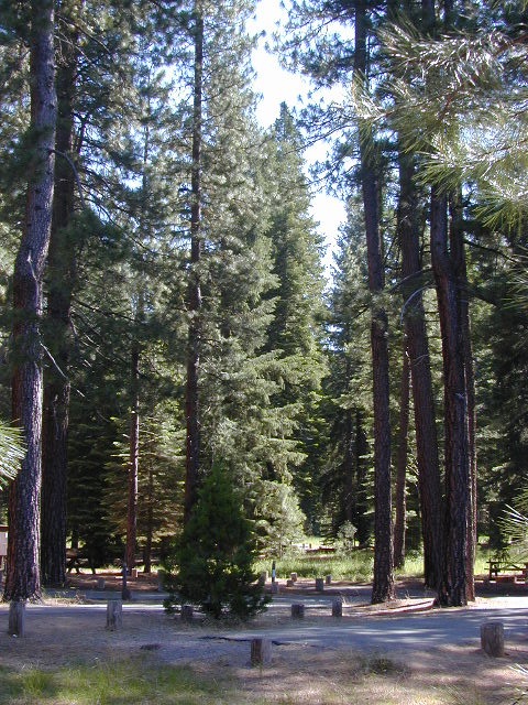
    Set in a Ponderosa Pine forest along the shores of Butt Lake, part of a system of reservoirs formed by hydro-electric dams managed by Pacific Gas & Electric.  Lake levels can change rapidly with minimal warning.

    DSCN0117

    Quiet lake in California: No water skiing, jet ski or race boats; only small motorized fishing boats.  Canoeing, kayaking and sail boating are also popular lake recreation. Off road areas nearby.

    • Elevation: 4,150′
    • Number of Sites: 63
    • Camping Reservations: Yes
    • Sites Available: Reservations; First come, First serve
    • Vehicle Accessibility: Vehicle 32 ft. max. No RV Hookups
    • Length of Stay: 14 Days
    • Water: Piped; lake
    • Toilet: Vault
    • Season: Closed for winter, Nov-April
    • Fee: Yes
    • Operated By: PG&E
    • Closest Town: Lake Almanor, CA

    Pacific Gas & Electric
    Almanor Ranger Station
    916-386-5164

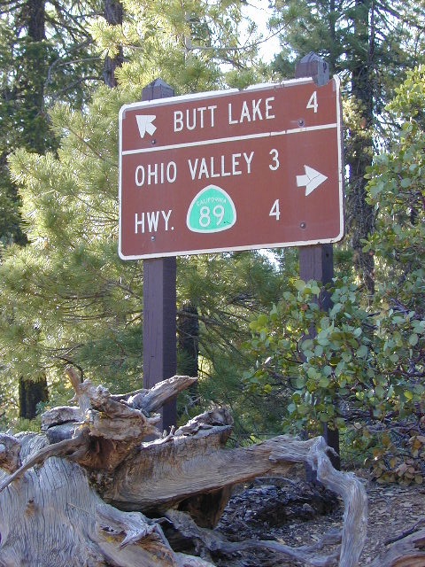
    Ohio Valley Route
    The alternate dirt road access thru Ohio Valley is graded dirt w/ rough roads that may require 4×4 or high clearance vehicles. RVs are not advised to travel this way.

    nearby destinations –

    Douglas City Campground

    Trinity River Campground

    Douglas Steiner Flat Camping

    douglasbeach

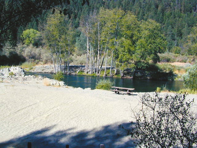
    Northern California river camping. Douglas City is hardly even a town much less a city. A post office and a general store is the majority of what makes up this riverfront locale.

    Tucked away on the scenic Trinity River, this small campground is perfect for those wanting to explore the Trinity River, Trinity Lake or the Trinity Alps region. Region is well known for fishing, hiking, kayaking and rafting. A small beach allows for river access. Group picnic area, picnic tables, telephone, beach, paved loop road are just a few amenities.

    From Douglas City, drive half mile west on Hwy 299 to Steiner Flat Road. Follow signs to the developed camp. Numerous dirt roads lead to river edge, so there are primitive camping options available along Steiner Flat Road for those seeking free overnight stays.

    • Elevation: 1,500′
    • Number of Sites: 20
    • Camping Reservations: No
    • Sites Available: First come, First serve
    • Vehicle Accessibility: Vehicle limit 28 ft. max.
    • Length of Stay: 14 Days
    • Water: Piped; river nearby
    • Toilet: Flush & Vault
    • Season: Closed for winter, Nov-April
    • Fee: Yes
    • Operated By: Bureau of Land Management
    • Closest Town: Douglas City, CA

    BLM Redding Ranger Station
    530-224-2100

    dscn0001
    nearby destinations –
    Chanchelulla Wilderness
    Chappie Shasta OHV Area
    Douglas City, CA
    Lewiston Lake
    Shasta Trinity National Forest
    Trinity Alps Wilderness
    Trinity Lake
    Weaverville, CA
    Whiskeytown Lake NRA

    dscn0004

    dscn0003

    Nettle Springs Campground

    Nettle Springs

    Apache Canyon Campsites

    Cuyama Camping near Highway 33

    Los Padres National Forest 

    Way back off there beyond the boonies, 10 miles on a bumpy dirt road #8N06, and far from the pavement. Seclusion, peace and quiet, plus privacy is what this canyon can offer. This small campground is rarely busy, unless a huge family or hunting group has taken over camp. Most of the time it’s so quiet you can hear the wind in the trees, birds chirping and bugs buzzing.

    N of Ojai (about an hour), scenic drive Highway 33 N of Ozena @ Lockwood is a little-known signed route called Apache Canyon. Los Padres Road #8N06 leads from the south end of Cuyama River Valley east to the dead end badlands canyon w/ Nettle Springs Camp. OHV trails and Chumash Wilderness access.

    Elevation: 4,400′
    Number of Sites: 8
    Camping Reservations: No
    Sites Available: First come, First serve
    Vehicle Accessibility: small RV ok
    Length of Stay: 14 Days
    Water: No Piped; seasonal creek iffy
    Toilet: Vault
    Season: Open all year
    Fee: No
    Operated By: National Forest Service
    Closest Towns: Frazier Park, CA & Ojai, CA

    Los Padres National Forest
    Lockwood Ranger Station
    661-245-3731

    Secluded Campground and Spacious Camp Sites