Tag Archives: trails

Sierra Nevada Lakes

Crystal Clear Faucherie

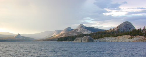
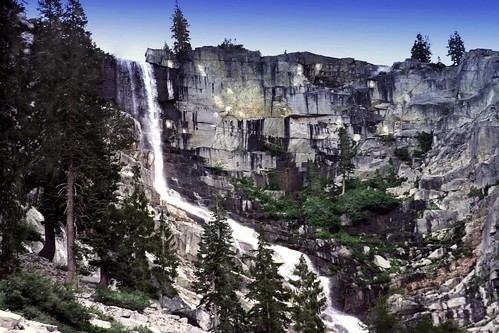
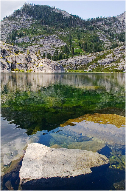
California Sierra Lakes
Sierra Lake Destinations
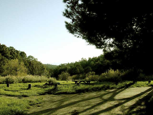
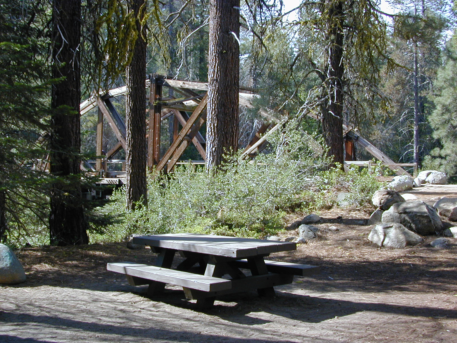
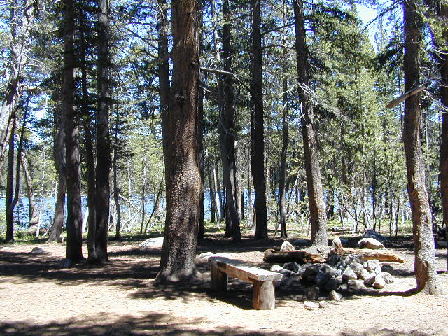
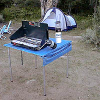
Sierra Lake Campgrounds

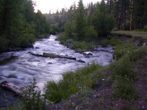
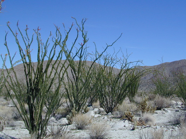
One of the best physical features about California is the amount of lakes and reservoirs it holds – in the mountains, foothills and the canyons, throughout the state.

recreational lakes – Huge, dammed reservoirs to the secluded, alpine lakes in the high country and all the variations in between.

bowman

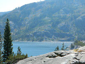
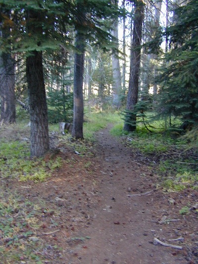
There are literally thousands of lakes located within the Sierra Nevada mountains and it would be ridiculous to try to list them all here. Many of them can only be reached by hiking into Wilderness.

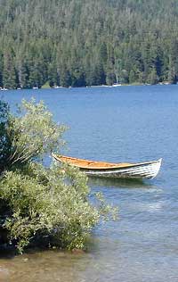
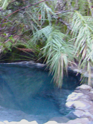
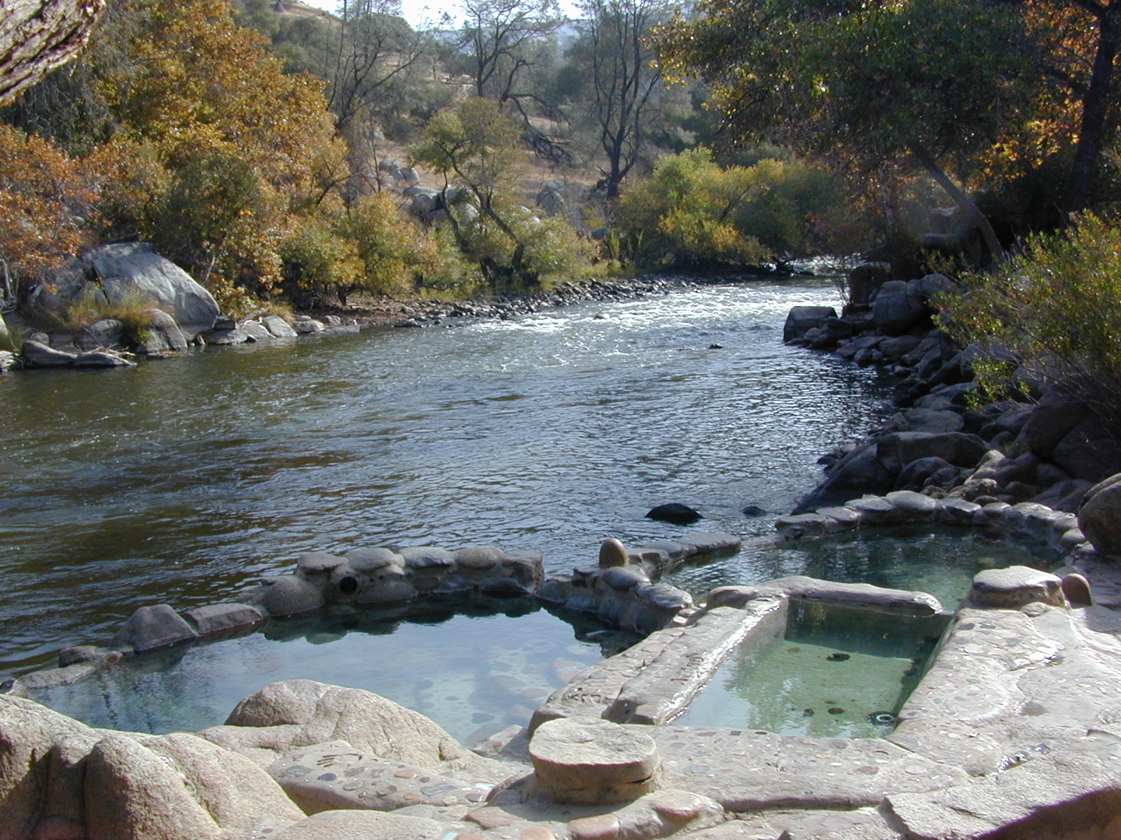
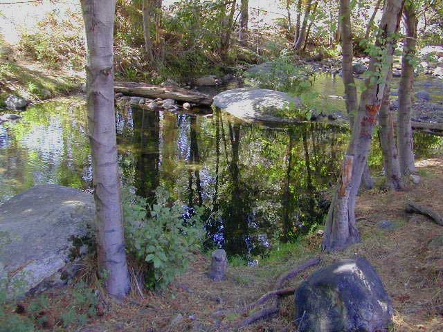
Most California lakes are popular and well known recreation spots, but others are secluded – if you drive far and long enough back on the dirt road. Some do not allow motorized boats and most do allow fishing and swimming. Some have campsites on the waters edge, while other camps are up on a hill over looking the lake.

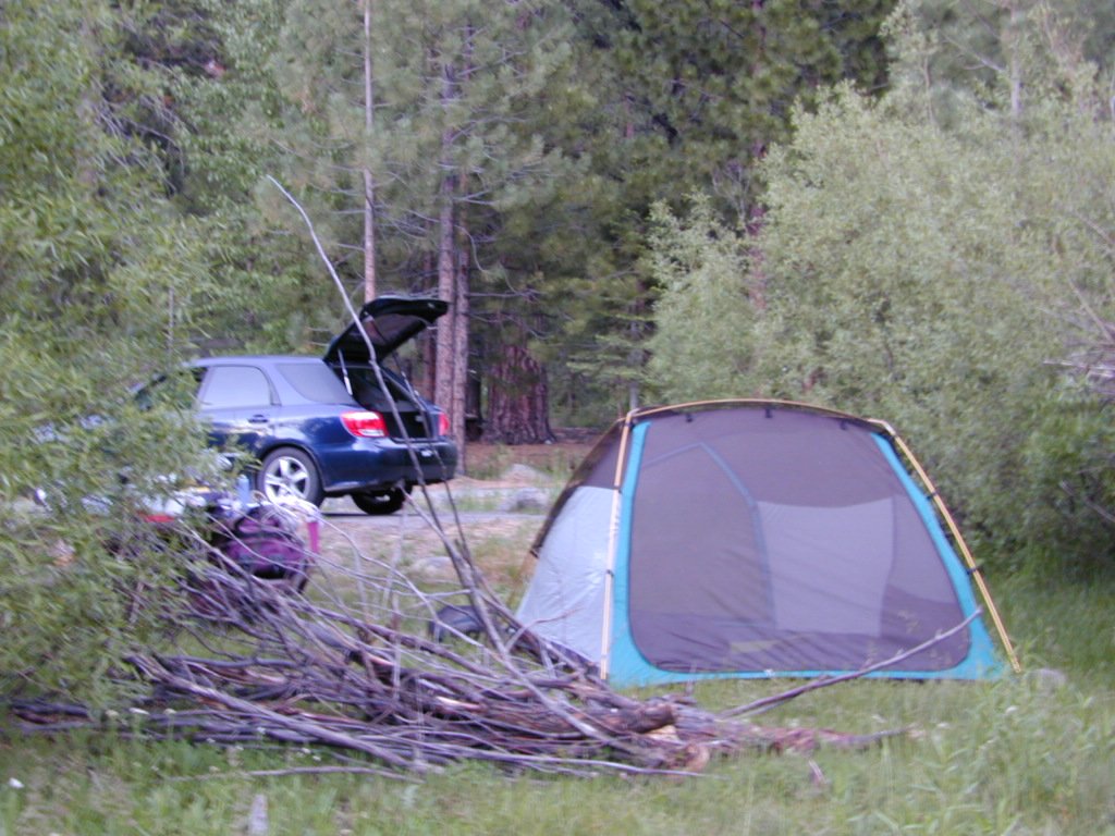
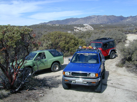
Below listed are some Sierra lakes that allow camping on the lakeshore or nearby. Most campgrounds are suitable for RVs, tent camping, and some may require 4 wheel drive to reach them.
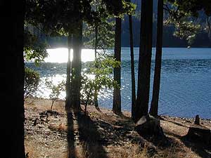
 bass lake

huntington lake

Total Escape has several hundred more lakes & obscure camps listed under Almanor, Lakes Basin, Secluded Lakes, Yosemite Lakes, Tahoe & the Eastern Sierra Lakes page.

Or just check the tag for Lakes & Reservoir

sierra lakes

Faucherie Lake

Faucherie Kayak Camp

Faucherie Lake California

Lake Faucherie is set in spectacular scenery of granite mountains, with peaks and waterfalls all around. Many believe that you could only reach this kinda high elevation beauty by foot, with a backpack, but here it is – accessible by a very long, rough & rocky backroad.

No motorhomes, no camper trailers, no motorboats, no engine noises on the lake, no big families. Just well-deserved solitude, finally. Peace and quiet!

Perfect alpine lake for car-top boaters – those who carry their boats on top of a vehicle. But be warned very few ‘passenger cars’ make it back this far, due to the challenging roads.

BACKPACKING, CAMPING, CANOEING, FISHING, FLOATING, HIKING, KAYAKING, OFF-ROADING, SOAKING, STARGAZING, SWIMMING

No motorized boats or watercraft allowed. One public boat ramp; gravel parking area, vault toilets, gated entry for group campground. No more driving across dam (it is now gated).

NFS NFS NFS kayak camp hiking mountains NFS backroads snowmelt stars

Faucherie Lake Road – a spur road, off of the ‘843 Road’ leads up to both Sawmill & Faucherie Lakes, as well as the Canyon Creek Campground.

This primitive road forks off at Jackson Creek Campground, Tahoe NF, way, way back behind Bowman Lake. The rugged route is also known as Nevada County Rd #843-037. Conflicting numbers appear on USDA web site for this route, so don’t get confused.

The brown Forest Service signage is decent at Jackson Creek Campground – so if you get that far, you’re almost there. Sorta. Did I mention how crazy the road is? Any wet weather or snow will make this route “4×4 required”. This place is closed off about half the year, due to deep snow (NOV-MAY). Although on summer weekends, this area is busy for a remote high Sierra lakes region.

To reach this rugged Canyon Creek takes hours of driving with a good backcountry map and a reliable, high clearance rig. AWD Subies and mini SUVs beware, you’ll need a spotter on the bad sections of this road (or risk serious oil pan damage). Or perhaps maybe, we “shouldn’t be back on these kinda roads in that ‘lil sportwagon’ missy.”

See more details on driving directions for Canyon Creek Campground.

Crystal Clear Faucherie

Faucherie Lake Group Campground
(25 people maximum per site)

• Elevation: 6135′
• Number of Sites: 2
• Vehicle Access: High Clearance Vehicle, no trailers
• Campsites Reservation: Yes
• Camp Fee: Yes
• Season: June – October
• Trailheads: Faucherie Lake Falls, Five Lakes Basin, French Lake, Haystack Mountain

camp
Faucherie Group Camping

Campground Reservations:
Nevada Irrigation District
530-265-5302

incoming flow

Faucherie Falls – Six waterfalls above lake:
Upper Faucherie Lake Falls #1: 39.4257 N, 120.5616 W
Upper Faucherie Lake Falls #2: 39.4257 N, 120.5606 W
Upper Faucherie Lake Falls #3: 39.4262 N, 120.5568 W
Upper Faucherie Lake Falls #4: 39.4268 N, 120.5550 W
Upper Faucherie Lake Falls #5: 39.4270 N, 120.5544 W
Upper Faucherie Lake Falls #6: 39.4272 N, 120.5538 W
USGS Topo: English Mountain

Granite Faucherie

Bucks Lake Wilderness

DSCN0237

Bucks Lake Wilderness Area

Bucks Lake, California
Plumas National Forest

topo mapIn the hills and canyons above Chico many wonders can be found. North Sierra Nevada mountains, medium sized recreation lake surrounded by lush forest; N of Lake Oroville and S of Lake Almanor. North Fork Feather River canyon forms the northern boundary to this designated Wilderness Area. The area is popular with backpackers and PCT hikers, as well as equestrian and the region has over a dozen campgrounds. Backcountry terrain includes an impressive 6 mile long canyon wall.

camp Bucks Lake Campgrounds

hotels Bucks Lake Lodging

The popular boating destination, Bucks Lake reservoir, is just outside the wilderness boundary, which makes for an excellent destination for day hikes. Boating, fishing, backpacking, hiking, camping, canoeing, kayaking, rock climbing, snowmobiling and mountain biking are just some of the outdoor recreation in the area. This Wilderness region features a Silver Lake and Gold Lake, as well as numerous other small, unheard-of lakes. A few can be accessed by vehicle, but more than half are hike-in only lakes.

  • backpacking
  • boating
  • cabin rentals
  • camping
  • canoeing
  • fishing
  • floating
  • hiking
  • kayaking
  • sailing
  • swimming
  • Bucks Lake Wilderness
    23,958 acres
    5200′ elevation at Bucks Lake

    Alpine wilderness, mountain peaks, hiking trails, PCT trailheads, numerous small lakes, plus large recreational fishing lake

    Bald Eagle Mountain – 7183′
    Bucks Mountain Peak – 6819′
    Mount Pleasant – 7067′

    Small lakes around the Bucks Lake Wilderness Area

    Bald Eagle Lake
    Blue Lake
    Cape Lake
    Gold Lake
    Grassy Lakes
    Jacks Meadow Pond
    Kellogg Lake
    Lost Lake
    Mud Lake
    Rock Lake
    Silver Lake
    Snake Lake
    Smith Lake
    Thompson Lake
    Three Lakes
    Upper Mud Lake

    regional maps –

    nearby towns –
    Berry Creek, CA
    Meadow Valley, CA
    Quincy, CA
    Chico, CA
    Oroville, CA

    lodge and cabins
    historic lodge burnt down, but they rebuilt and are re-opened again

    DSCN0242

    more info –

    Bucks Lake Trailheads (PDF)
    BucksLake.net
    Bucks Lake Fire Dept
    Bucks Lake Wilderness Wiki


    View Larger Map

    Toad Spring Campground

    Toadsprings

    Los Padres National Forest; Toad Spring Campground

    Atop Quatal Canyon on Forest Rd #9N09
    – less than a mile off of Cerro Noroeste Road; just west of Apache Saddle. Cerro Noroeste Road name has changed to Harris Ranch Road (2015), so make sure to check on several maps before venturing out, just so you know.

    5700′ elevation w/ 5 camp sites.
    picnic tables, fire rings & no toilet. OHV trails nearby

    Red dirt Quatal Canyon, next to the Chumash Wilderness & the Apache Saddle, a small campground is an oasis for the wildlife. A year round drippy, soggy natural springs feeds the meadow & trickles down the dirt road. Great birdwatching, hiking, native wildflowers & hunting.

    OHV use is quite common; Quatal Cyn trails,  a long desert wash to explore. Short side canyons to the right, off of main road (9N09). Many routes may require a high clearance vehicle, but not 4×4, unless it’s raining or wet or snowy. You’ll need a Los Padres Forest map to get the most enjoyment out of this confusing landscape.  The multi-colored, eroded badlands makes great day hikes. Chumash Cliffs & Mount Abel 8286′.

    Ballinger Canyon OHV Park is about 20 miles away, via Quatal Cyn & then 5 miles N on Hwy 33


    View Larger Map

    LOS PADRES NATIONAL FOREST MAPS – USDA
    LOS PADRES EAST MAP – NatGeo
    LOS PADRES WEST MAP – NatGeo

    towns nearby:

    PINE MOUNTAIN CA

    VENTUCOPA CA

    Hiking Sequoia National Forest

    Kern River Trails & Kernville Hiking

    Sequoia National Forest Trails

    Hiking Trails
    Hundreds of trails meandering throughout this forest. Granite domes to huge Sequoia trees. Most secluded areas are found in the Eastern Section in the Dome Land Wilderness.

    Dome Land Wilderness

    Golden Trout Wilderness

    South Sierra Wilderness

    Sequoia Hiking Maps, Wilderness Maps, OHV Maps

    Sequoia National Forest Hiking

    lower kern river
    the lush Lower Kern River on a misty Spring day

    Upper Kern Hiking

    Lower Kern River Hikes

    Sequoia National Forest & the Lower Sierra Nevada Mountains extend from the Tehachapi ranges to the Kings River Canyon; from the Great Central Valley to the Mojave desert.

    Sequoia National Forest MAP

    Dome Land Wilderness MAP

    Golden Trout Wilderness MAPS

    Kern River Valley communities include:

    Sequoia Mountain communities include:

    Lower Kern Camp

    Hiking Mount Whitney

    Mt Whitney Trail / Mount Whitney Map

    mt whitney map
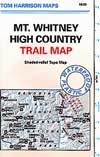
When the snow melts in the High Sierra, the rush is on! This is one of the most popular backpacking trips in the Eastern Sierra, as Mt Whitney is the highest peak (14505′ elevation) in the contiguous United States of America.
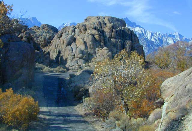
    Day hikes to the summit should only be attempted if you are in excellent physical shape & used to high altitude hiking. There are so many folks trying to hike this sought-after peak in the warmer summer months (MAY-OCT) that the National Forest has put tight restrictions on these Mount Whitney trails. You must obtain a Wilderness hiking permit for this hike & that requires waiting in a long line of outdoor enthusiasts that also seek this prime destination.

    The Lone Pine Ranger station holds an annual Whitney trail LOTTERY, where you must apply a year in advance & be granted a permit before you can set foot on this popular hiking route.

    An alternate backpacking route to Mt Whitney is the southern ridge line from the Cottonwood Lakes trailhead, but you still must verify with local authorities for permits & Wilderness passes.

    The Alabama Hills, between US Hwy 395 @ Lone Pine CA and the Whitney Portal offers camping and mountain biking trails with excellent views of Mount Whitney from below. A short drive up to the portal & you can stand in the waterfall mist & then do a day hike up to Lone Pine Lake.

    Now that we have you salivating for this epic adventure, you can start your dreaming & real planning by ordering hiking topo maps of the region. Then after you have thoroughly reviewed the maps, the terrain (as well as your own physical condition), you can contact the Inyo National Forest / Lone Pine ranger office for more specifics on dates & details. This may take years of planning to make it happen.

    lone pine roads

    The Alabama Hills sit at the base of Mt Whitney, California

    San Diego Hiking Trails

    San Diego hikes, SD hiking, San Diego Mountains

    Anza Borrego Desert Slot Canyons
    Anza Borrego Desert Slot Canyons

    Back a couple of decades ago, inspiration and research for creating this very web site began in the deserted hills behind San Diego. Escaping the city at every chance, some feel the rat race more than others. Luckily the desert is close and there is plenty of space for everyone. California boulders and badlands, hot springs, pine meadows, great views, oak forests creeks, coastal cliffs and lush canyons near downtown, SD does have some awesome hiking trails – even a few waterfalls too.

    LagunaMdws

    San Diego County Parks Map w/ links
    descanso_sign
    SD small towns w/ hiking trails nearby
    signjulian

    San Diego Hiking Maps

    ClevelandMap_07

    California North Coast

    Northern CA Coast / Northern Coast of California

    The redwood north coast of California is very forested region with many rivers & streams running throughout. Fishing, kayaking, rafting, camping & backpacking are all superb here. The wilderness rules, as the majority of the landscape is wild & untouched by development. Mountain ranges near the north California coast span in elevation from 1000′ to 8000′. The Klamath River, Eel River & Trinity River are the predominate waterways in this region, with designated National Forest lining their canyons. There are over 10 parks along the coast that feature the redwood trees as the main attraction. The ones listed below are the inland, mountainous areas of Northern California.

    klamath river

    Mendocino National Forest

    Clear Lake, Kelseyville, Ukiah

    north coast CA

    Redwood National Park

    Klamath, Orick

    north coast CA

    Six Rivers National Forests

    north coast CA

    Smith River Recreation Area

    Crescent City, Orleans

    USGS California Maps

    USGS topographical maps

    USGA topo maps California

    The United States Geological Survey team has been working hard since 1897 to research and create the maps you might need to enjoy the great outdoors. Government produced maps include – USDA, NFS, USGS

    California Mountains Maps
    Topo Maps CA
    River Maps California

    California National Forest maps, Wilderness maps, Topographical

    The USGS is an agency of the United States government. The scientists study the landscape of the United States, its natural resources, and the natural hazards that threaten it. The organization has four major science disciplines, concerning biology, geography, geology, and hydrology.

    Dome Lands Wilderness
    Dome Lands Wilderness

    Interesting California map links –
    Recent Earthquakes
    USGS.gov
    Science In Your Backyard: California
    UCSB Topographic Maps of California
    Broer Map Library – California

     Sequoia Map, #1 seller on Total Escape
    Sequoia Map, #1 seller on Total Escape

    SUV Trail

    Baker Creek
    Baker Creek, Inyo NF

    Since sport utility vehicles were invented for California yuppies, it makes perfect sense that this California market also has the awesome terrain to use these rugged rigs. After the first shopping cart door ding or windshield crack, most folks are open to taking their utilitarian vehicles on dirt roads, but some will only dream about it.

    big bear joshua trees

    Here at Total Escape, we are here to change all that. The fear of outdoors, the unknown, the capability, the driving skill. Your SUV is a good reason to be outdoors in the golden state, at bare minimum. No excuses. Enjoy the California you never knew – and sometimes that means getting off the pavement. Yes, more than 2 miles.

    SUV trail – any path, dirt road or route that can be driven on; high clearance vehicle are often necessary, 4×4 needed on occasion. National Forests, canyons, deserts, mountains, country lane style drives, some classic routes skirt the wilderness boundaries. We have it all for ya here. Rock crawling Rubicon adventures, all the way down to the leisurely ‘Sunday drive’ thru a forest to a meadow for a picnic. 

    Jeep trails, forest roads, graded roads, gravel roads, back roads, dirt roads, 4×4 routes, OHV (off highway vehicle) trails.

    MAPS will get you out there!
    suv road trip
    Dust, dirt, mud, snow. Beyond the county line, way back there, where you can discover ghost towns, old mines in the desert, hot springs, historic lodges, petroglyphs, river gorges, fire lookouts, waterfalls, and so much more.

    Get motivated and travel in your SUV:

    cattle roads

    SUV camping

    sierra roads

    Cold Creek Campground

    Cold Creek Camp

    Truckee Campgrounds, Tahoe NF

    Cold Creek Campground: N of Truckee, CA

    DSCN0046

    A small developed campground along forested Highway 89, with raging creek, fishing spots, and hiking trails and mountain biking trails nearby. Paved, level camp sites, small RVs okay w/ access to the numerous Sierra Nevada destinations with several lakes and reservoirs nearby.

    This is a popular overnight stop “in route” for many campers and bikers traveling further on to the Northern Sierra Nevada mountains. You can exit off Interstate 80 @ Truckee, and be at this camp in minutes. Car camp, tent camping, a few spaces for small motorhomes. Plenty hiking and mountain biking trails.

    Cold Creek Campground, California

    on the Cold Stream;
    Campground open May-October
    (depending on snow)

    High Sierra / Tahoe Truckee Camping

    13 camp sites on Cold Stream @ 5800′ elevation; vault toilets, river and piped water, bear boxes; first come, first served camping

    Max Camper Length: 22′

    Rangers Office: 530-265-4531

    The highway traffic noise makes this place a ‘short and sweet’ one nighter top pick, great for those camping in route to another destination. Another developed camp is on the opposite side of the highway, less than a mile north called Cottonwood Campground.

    Free Camping nearby.
    If you are seeking primitive camping near this area, start with Little Truckee Summit at the lakes turn off road on SR 89 – about 2 miles south of the Cold Creek Campground.

    Tahioe USDA MapTake Tahoe Forest Road #5, a major paved road, approximately 12 miles back to the big meadows. Look for the unsigned dirt roads on left side of road nearing Webber Lake. The largest lake in the region, Independence Lake, is a paved side route off to the south. Further back on Road #5 the pavement ends at Jackson Meadows Reservoir. Very rough rocky road out to Bowman Lake w/ several developed campgrounds in the vicinity.


    Tahoe trailheads lead out to –
    alpine fishing lakes
    mountain peaks
    Treasure Mountain 7085′
    Tahoe National Forest 
    OHV Area @ Prosser Reservoir

    NEARBY TOWNS:

    ROAD CONDITIONS:

    Tahoe and Truckee are known for their brutal winters and deep snows pack. Call CalTrans ahead of your departure if you are even slightly expecting any kind of precipitation. Truckee – winter road conditions


    View Larger Map

    Silver Peak Wilderness

    Hiking the Southern Big Sur Coastline

    faded public lands
    Sun-bleached, wooden Los Padres sign – near Salmon Creek trailhead.

    Silver Peak Wilderness, Big Sur Coast

    Central California Coast

    31,555 acres

    8 miles South of Gorda, CA
    along Pacific Coast Hwy 1
    near Big Sur, CA
    Los Padres National ForestBig Sur Wilderness Map

    Backpacking and hiking trails on the Pacific Coast, steep terrain next to ocean. Coastal redwood canyons, oaks hills, great views. The neighboring Ventana Wilderness is located just north of Silver Peak hiking trails.

    Southern Redwood Botanical Area

    Silver Peak –3,590′ elevation
    Alder Peak –3,744′

    trailheads

    • Salmon Creek Trail #5E09
    • Hwy 1 @ connection Trail #5E10
    • Alder Creek Trail #5E09

    mm

    mile markers along Pacific Coast Highway 1
    (Monterey County)

    • Cruickshank Trailhead – 6.5 mm
    • Soda Springs Trailhead – 3.8 mm
    • Buckeye Trailhead – 2.4 mm
    • Salmon Creek Trailhead – 2.2 mm

    developed campgrounds nearby –

    nearby towns –

    Ocean View Hikes Big Sur


    View Larger Map

    Oak Foothills

    Hot Springs Hikes

    Soaker

    California Hikes to Hot Springs

    California has many natural hot springs, most requiring a drive into the mountains. Some are rustic resorts, some are developed campgrounds, most are located on paved roads. The very remote tubs are the ones hidden in the secluded wilderness  – only accessible by foot.

    campfires Plan to camp overnight? Fire Permits are required if you plan to build a campfire or use a camp stove.

    HIKE-IN ONLY HOT SPRINGS

    hikes

    Buckeye Hot Springs requires a steep half mile trail down to the creek edge.  N of Bridgeport. Eastern Sierra @ Buckeye Creek Road #017.

    Deep Creek Hot Springs is a SoCal favorite, but with that convenience comes the crowds. Located on the desert side of the mountains from Lake Arrowhead.

    Gaviota Hot Springs is a short hike along a lush canyon. Close to US Hwy 101 and located in between Goleta and Solvang.

    Kern River Gorge, Sequoia NF – Both Jordan Hot Springs & Kern Hot Springs accessible only by backpacking many miles, from Jerky Trailhead. Backpack and horseback access only. Golden Trout Wilderness.

    Remington HRemingtonot Springs requires a steep but short half mile trail down to the river edge. Lower Kern River. Old Kern Canyon Road @ Remington Trailhead# 32E51 – Remington Ridge Trail is a multi-use trail. Bike, hike, horseback on oaks hills. Wildflowers in Spring.

    Sespe Hot Springs requires an 18 mile round trip hike. Usually enjoyed as an overnight backpacking trip. A very challenging and long trek as a day hike. Los Padres National Forest.

    Sykes Hot Springs requires a strenuous 10-mile hike from Big Sur Station. Hike inside of Los Padres NF. Usually enjoyed as an overnight backpacking trip, or a very long day hike for the fittest of folks.

    gaviota pools

    California hikes

    Kern Hot SpringsRemington tubs overlooking the Lower Kern River

    Old Kane Spring Road

    Kane Spring California

    Quartz Wash Anza

    Old Kane Spring Road parallels California SR Highway 78 a few miles from Ocotillo Wells, in east Anza Borrego Desert. A graded dirt road that can often gets sandy and you might need to keep you speed up certain soft spots. A few dead end canyons lead southward; hidden camp sites can be found out this way if you have the time to look. Harper Canyon, perhaps. See below for more on camp sites.

    San Diego Desert Map

    Anza Borrego Desert State Park Map

    San Diego Backcountry Map

    Spring Wildflowers can be quite spectacular out along this desert trail. Towering red-tipped ocotillo in some canyons serve as great backdrops to a perfect picnic lunch.

    Ocotillo California

    The Kane dirt route peels off the highway about a mile east of an area known as The Narrows. Marked on the highway as a small hiking trail, the highway curves at a narrow section of the canyon, as San Felipe Creek wash carves its way through the harsh landscape.

    primitive campThe best primitive camping in this area is actually west of The Narrows. You might need a high clearance vehicle to reach some spots and a good map with the creek/wash names. Make sure to look for these – Free Camping

    • Nolina Wash
    • Pinyon Wash
    • Quartz Vein Wash

    pinyonoco vcampoutpinyonwsh

    On the opposite the highway is Ocotillo Wells SVRA, where off road enthusiasts can get their kicks. Wind caves can be found in Butte Canyon, where the 4×4 trails abound. Kane Springs intersects Split Mountain Road. The Elephant Trees, Split Mountain and more wind caves are south of the railroad tracks.

    Anza Borrego Desert Map


    View Larger Map

    Dinkey Lakes Wilderness

    Central Sierra Nevada

    Wilderness lakes
    Courtright Reservoir w/ CLIFF LAKE trailhead

    Dinkey Lakes California

    Dinkey Creek Road
    Tom Harrison Dinkey Map East of Shaver Lake, Hwy 168

    30,000 acres

    Sierra National Forest

    Located in the high elevations between Shaver Lake and Courtright Reservoir is the Dinkey Lakes region. Granite domes and alpine lakes are the key feature of this mid-Sierra forest. John Muir Wilderness is located on the east (right) side of Courtright, while Dinkey Lakes Wilderness is on the opposite west (left) side.

    • alpine lakes
    • backpacking
    • camping
    • creeks & streams
    • cross country ski
    • fishing
    • granite domes
    • horseback trails
    • hiking trails
    • off-roading
    • rock climbing
    • snowmobiling
    • snowshoe
    • stargazing
    • wildflowers
    • wildlife viewing

    4 wheel drive trails serve some of the Wilderness boundaries. Dusy Ershim OHV Trail (pronounced ‘doosey’) crosses the boulder strewn terrain for 30 rugged miles, from Courtright to Kaiser Pass. Road #8S10 is known as ‘Red Lake Road’ and pretty popular among 4x4s and fishermen. This high clearance 4×4 trail accesses both scenic lakes – Red Lake and Coyote Lake, as well as Dinkey Wilderness trailheads.

    Trailhead Access:

    Access the trailheads on the north side of Dinkey Creek Road, a paved route which connects Shaver Lake to the Sequoia McKinley Grove and then on to Wishon and Courtright. Rock Creek Road #9S10 becomes dirt and leads up to the Dinkey Lakes hiking trails.

    Paved Dinkey Creek Road leads out to the Trails End trailhead. Dinkey Creek and main Campground is located at 5840' elevation and tucked deep in the forest, about 10 miles east of Shaver Lake. Beyond the Sequoia grove is Wishon & Courtright Reservoirs w/ Cliff Lake trailhead. All the other trailheads located at these large lakes lead over to John Muir Wilderness.

    Paved Dinkey Creek Road leads out to the Trails End trailhead. Dinkey Creek and main Campground is located at 5840′ elevation and tucked deep in the forest, about 10 miles east of Shaver Lake. Beyond the Sequoia grove is Wishon & Courtright Reservoirs w/ Cliff Lake trailhead. All the other trailheads located at these large lakes lead over to John Muir Wilderness.

    The Dinky Creek locale (on most maps) is located at the main Dinky Creek Campground, along Dinky Creek near the historic Dinky bridge on a small, paved, side route north of the main road. Although this summer vacation area is well signed, people can often miss this turn, especially at night.

    DSCN0005

    USDA map Two main hiking trail systems can be accessed from the west, via Tamarack Ridge (parking at Hwy 168). Both dirt routes from highway, Road #9S09 and Road #8S10 lead out to Dinkey trails, although one is rugged 4×4 trail, Red Mountain OHV, and the other is a long, graded dirt road.

    Kaiser Pass Road to the north side has even more trails leading into Dinkey. Badger Flat and White Bark trailheads are closest points to Huntington Lake, CA. Bolsillo trailhead is way back near Florence Lake, which also has a major trailhead and paved parking.

    NFS


    local rangers:

    Sierra National Forest
    High Sierra Ranger District
    29688 Auberry Rd
    Prather, CA 93651
    559-855-5355

    Secluded Camping
    4×4 Camping at Coyote Lake


    Ishi Wilderness

    Bridge and Chute from top of Black Rock

    NorCal Ishi Wilderness

    41,840 acres
    20 miles N of Chico, CA
    Lassen National Forest

    • Barkley Mountain (elev. 4488′)
    • Black Rock Campground
    • Deer Creek
    • Flat Iron Mountain (elev. 4400′)
    • Iron Mountain (elev. 3274′)
    • Indian Ridge Campground
    • Mill Creek
    • Peligreen Place
    • Pine Creek
    • Pinnacle Peak (elev. 3293′)
    • South Antelope Campground
    • Twentymile Hollow

    Up in the mountains behind Chico sits a rugged landscape of deep canyons lined with bizarre rock formations and roaring mountain creeks. Wilderness encompasses lower elevations – ranging from 1500′ – 3500′  – making this outdoor destination a winter haven, when the rest of the backcountry is covered in several feet of snow. One of the most historic wilderness areas in the state, as the aboriginal existence of the Native Americans came to an end in this area.

    COHASSET ROAD climbs up the volcanic fin of Cohasset Ridge into the pine forests high above the valley floor. The paved road becomes dirt and the road name changes to Ponderosa Way (Lassen Road# 28N29). The Ishi Wilderness can also be accessed from the north side via Highway 32, near the Tehama State Game Refuge.


    View Larger Map

    • backpacking trails
    • hiking trails
    • fishing creeks
    • horseback trails
    • wildlife viewing


    Ishi Wilderness mapIshi Wilderness Map

    Ishi Wilderness


    Kern River Hot Springs

    Kern Hot Springs

    Kern River Hot Tub

    From Lake Isabella down to Bako, along Hwy 178, numerous natural hot springs can be found in this lower Kern river canyon. Old Kern Canyon Road has plenty of primitive spots to camp along the road, way above the Kern River. This Southern Sierra Nevada scenic route, a 20 mi winding narrow paved road, is the old highway that leads up to Bodfish CA.

    At least a dozen dispersed camp sites can be found along the Old Kern Cyn Rd, some spots with views over canyon, some hidden & shady, many spots are level & large – suitable for RVs. No facilities, no fees, just a flat, dispersed site. Campfire permits are required for fires outside of developed Campgrounds & fire restrictions are often high, so no fires are allowed much of the year. Most of the gates on the Lower Kern are now locked & only accessible by Forest Service personnel, ranchers or local rafting companies with permits.

    2 developed Lower Kern Campgrounds are located on the Old Kern Canyon Road, which parallels the 4 lane portion of the highway: Hobo Campground & Sandy Flat Campgrounds, if you really need a picnic table & bathroom. You can reserve camps by clicking the links.

    Miracle Hot Springs – next to Hobo Campground. This hot tub park is closed for good. A few portable bathrooms, picnic tables & trash bins, the hiking trails clear; 2 shallow pools partially filled. Maybe enough room to soak your butt, but not fully submerse yourself. Someone really needs to renovate this place! Update 2012 – the signs for Miracle are now completely gone.

    Remington Hot Springs

    This one is by far the most popular now that Miracle is gone. The hike-in only access doesn’t deter people much and many choose to set camp overnight close by. The local authorities are always making the rounds to double check on the area – which is good for security and bad for the 2 AM party animals.

    Kern recreation

    Democrat Hot Springs

    private resort now open? Heck, I dunno. (2017, democrathotsprings.com is down. They might be trying to promote a River Festival held in May.)

    The hotel and cottages were constructed to accommodate guests that came in stage coaches to dine and relax during the early 1900’s. Five springs on the property flow at 115 degrees into large soaking tubs and a swimming pool. Closed to the public for more than thirty years, the resort is once again ready to be brought to life for groups and private events only.

    Kern recreation

    The hot springs listed below are Private Property, so don’t get caught – and don’t get shot:

    Delonegha Hot Springs

    Concrete tubs were built by homesteaders, later a hotel and boarding house were constructed. Stage coaches from the San Joaquin Valley took 2 days to get visitors to this area. The hotel closed in 1912, when more accessible areas of Democrat and Hobo were built. Remaining cement tubs run along a rock peninsula overlooking the Kern River; water temperatures average 112 degrees. This private property is fenced.

    Scovern Hot Springs

    Also known as the Hot Springs House. 1902 mud baths were being offered and the wooden tubs were replaced by galvanized tubs. A swimming pool and bath houses were added when the Scoverns bought the property in 1929. Bath house burned to the ground in 1971 and only a vacant lot remains. Steam can still be seen in the fields across from the springs, where water runs at 140 gallons a minute @ 115 degrees.


    NEARBY TOWNS –

    ALTA SIERRA CA

    KERNVILLE CA

    LAKE ISABELLA CA

    WOFFORD HEIGHTS CA

    MAP OF THE KERN RIVER –

    Sequoia National Forest Map

    Kern Hot Springs

    Trinity Alps Lakes & Waterfalls

    Trinity Wilderness Lakes & Waterfalls

    Grizzly Falls -- Trinity Alps Wilderness

    Northern California Lakes
    Shasta Trinity National Forest

    NFS


    Trinity Alps Wilderness

    lake


    Lakes & Waterfalls in the Trinity Alps region –

    Canyon Creek Fallstrinityalps_lg
    Trinity Lake
    Josephine Lake
    Hidden Lake
    Caribou Lake
    Lost Lake
    Grizzly Lake
    Sapphire Lake
    Papoose Lake
    Emerald Lake
    Conway Lake
    Barker Lake
    Foster Lake
    Boulder Lake
    Cecil Lake
    Lion Lake
    Ward Lake
    Mirror Lake
    Long Gulch Lake
    Trail Gulch Lake
    Fox Creek Lake
    Red Cap Lake
    East Boulder Lake
    Middle Boulder Lake
    Big Boulder Lake
    Big Bear Lake
    Big East Fork Lake
    Little Bear Lake
    Canyon Creek Lakes


    Trinity Alps Lake

    Where to Camp

    Where to set Camp in California?
    Camping Spots
    Small campgrounds have fewer facilities than the larger developed campgrounds, but less sites means more nature and less people. Roughing it on the back roads with dispersed camping is by far the best experience for seclusion and privacy

    real peace and quiet.

    Primitive, free camping requires more thought and planning than just pitching a tent in a flat spot at a developed campground.

    First off, you will need a decent topo map to find the dirt back roads, the trailheads and the creeks with the best camp sites; a dependable and capable rig to get you out there, plus your camping gear.

    Campfire permits are usually required for camp stoves, BBQs and any open fires. (bucket & shovel needed).

    And most importantly, since California is known for its super dry climate and seasonal wildfires, make sure to check with local rangers to find out about any current campfire restrictions.

    Streamside Camping
    some tips for a good camping experience – without scoldings or citations from Mr. Ranger:

    • Choose existing campsite in a used area – rather than creating another rock ring & trampling a fresh spot.
    • Always know fire conditions; get a fire permit if you have a campfire outside of a developed campground.
    • Set up camp away from other people. The majority of people go to the wilderness to experience quiet, peace, & solitude. There is plenty space for everyone, so spread out.

    mountains

    • Never set camp in a meadow. It is a very fragile ecosystem.
    • Use an existing camp site when possible. Rebuilding and cleaning campfire pits is part of the job!
    • Camping right on the a creek bed or lake shore is damaging to the vegetation and wildlife areas. Place tent at least 20+ feet away from waters edge. Many camp site already exist in prime areas on creek front, so seek out those first. The deeper you go into the wood, the more you will find. Seclusion is possible, if you want to drive beyond the pavement.
    • Do not camp beneath large dead trees. Check tent spots for old overhanging branches too.
    • Do not camp near a mine shaft; Toxic heavy metals or radioactive debris could be present in the dirt.
    • Camping next to a lake, wetlands or a meadow can often result in abundant mosquitoes & insects overall.
    • Snow is possible anytime from October to May above 5000′ elevation. Chilly nights are common in summer.

    deserts

    • Avoid camping inside desert canyons when the threat of rain is approaching: possible flash floods.
    • Consider the benefits of potential windbreaks in desert terrain. Large rocks, bushes, trees, your vehicle & even a hillside.
    • Picking a camp spot on a ridge line means sun exposure and windy conditions. Breezes will keep the bugs away and you can’t beat the better view, but wind can pick up at any time especially in desert regions.
    • Low elevation in late spring and fall means very warm temps; summer is triple digit heat most days.
    • Do not camp near a mine shaft; Toxic heavy metals or radioactive debris could be present in the dirt.

    coastal

    • Avoid camping on fragile coastal cliffs; unstable, which can give way, caving in, resulting in danger to you.
    • Camping on the beach means watching the tides. Know where high water mark is before you set camp up.
    • Beach camping in early summer means low clouds and fog are likely. June Gloom can last months.

    countryside

    • Avoid building campfires up against a large boulders or against a rock face.
    • Rivers controlled by hydroelectric dam systems mean that the water levels can change at any time without warning.
    • Never set camp in a wildflower meadow. It’s too fragile of an ecosystem.
    • Lower elevations in summer time means potential triple digit heat during mid-day.
    • Do not camp near a mine shaft; Toxic heavy metals or radioactive debris could be present in the dirt.
    National Parks National Forests State Parks California BLM OHV routes California Wilderness
    Beach Camping
    California Forests
    Wineries
    Desert Parks
    California Back Roads California Lakes

    Primitive Camp San Diego

    Fire Light Cove

    Open car camping is allowed in several places inside Cleveland National Forest, although NO campfires are permitted in the backcountry (trailside or dirt roads) – due to the high fire danger. Your best for FREE, open, dispersed camping (with a campfire) is Anza Borrego Desert State Park. Lower elevations w/ summertime temperature can get very hot, so plan for higher elevation camps. The more you explore, the more you can find.

    The Tom Harrison San Diego Backcountry Map can get you out there on the back roads.

    Laguna Mountain (off Sunrise Hwy. S-1)
    [south Cleveland National Forest]
    East of San Diego; 40 miles E on Interstate 8

    • Pine Creek Road – with plenty of mountain biking trails
    • Noble Canyon – popular mountain biking trail
    • Kitchen Creek Road (warning, heavy use w/ US Border Patrol)

    Palomar Mountain (off Hwy. 76)
    [north Cleveland National Forest]
    N of San Diego; 40 miles N on Interstate 15

    Anza Borrego Desert Camping
    East of San Diego CA

    • Dispersed camping nearly anywhere in Anza desert (w/ a metal fire bucket)

    [higher elevations (1000-2000′) near Cleveland National Forest]

    • Oriflamme Canyon (off Road S-2)
    • Culp Valley (off Road S-22)
    • Blair Valley (off Road S-2)

    [lower elevations (100′) near Hwy 78]

    Cupl Valley Camp

    A winter day out exploring Culp Valley back roads.

    mortero trails

    Maps Mountains / San Diego Maps