Tag Archives: trails

Ansel Adams Wilderness

anselwoodsign

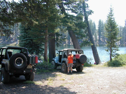
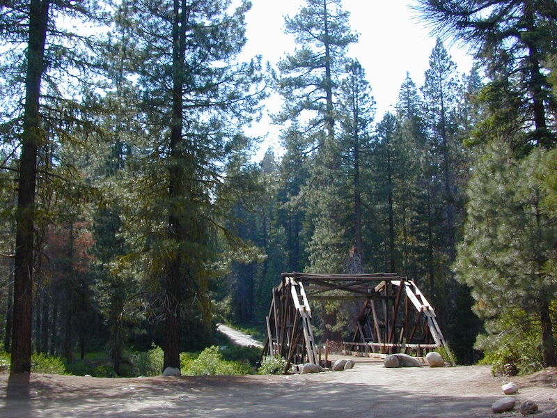
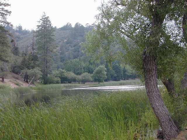
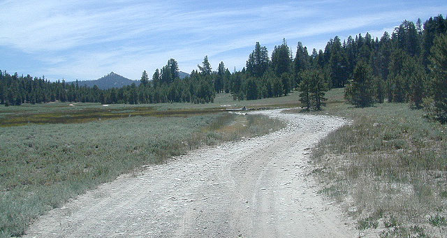
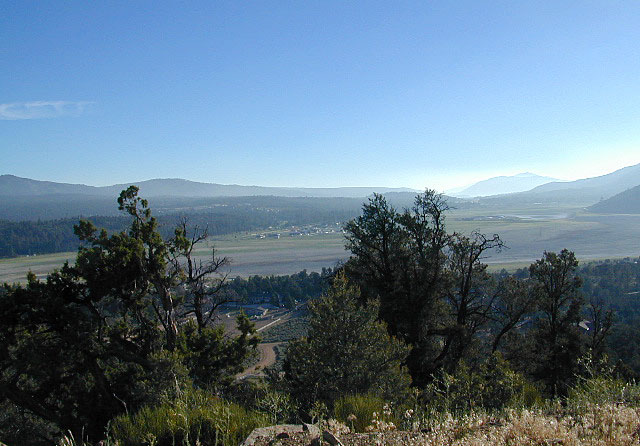
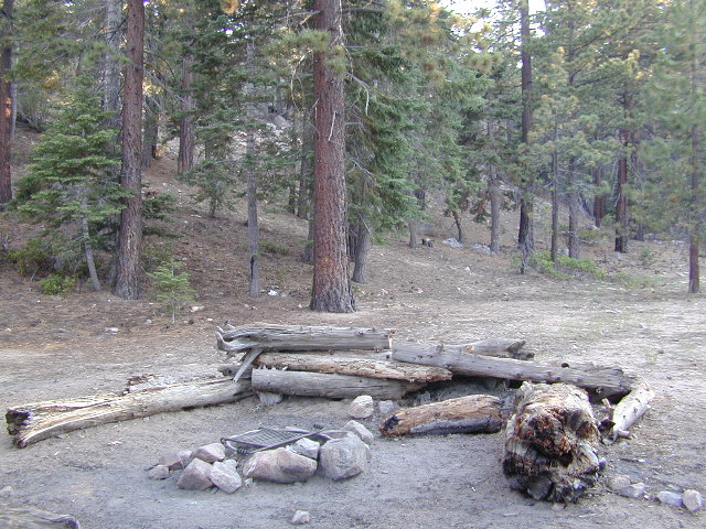
Alpine high country hiking, Sierra Nevada mountains, California

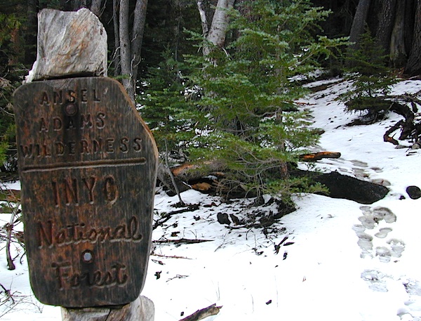
Ansel Adams Wilderness Area

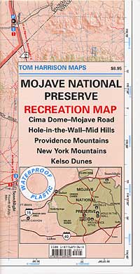
Ansel Adams Trail Map, Tom Harrison
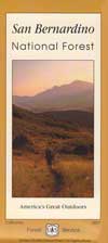
Ansel Adams Map, Forest Service USDA
Ansel Adams Map, NatGeo

Ansel Adams Hiking Map
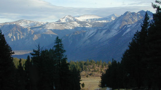
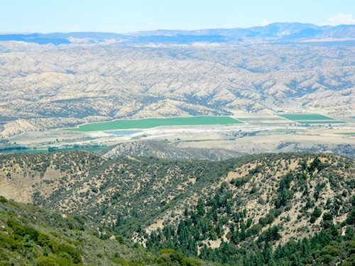
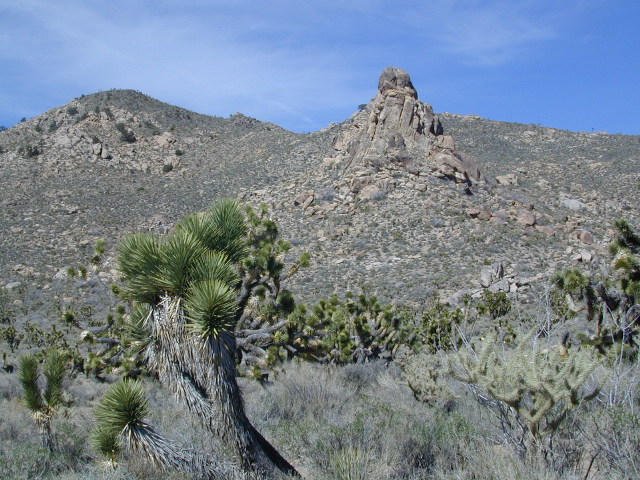
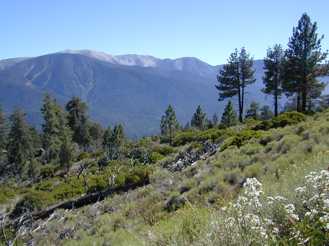
The Ansel Adams Wilderness is an area in the Sierra Nevada of California. The wilderness is part of the Sierra and Inyo National Forests, in the Eastern Sierra portion of the range, overlooking Mono Lake. Yosemite EAST is what NatGeo likes to call it. The wilderness spans 231,533 acres with Yosemite National Park lies to the north and northwest, while the John Muir Wilderness lies to the south.

The wilderness was established as part of the original Wilderness Act in 1964 as the Minarets Wilderness. The 109,500-acre Minarets Wilderness was created by enlarging and renaming the Mount Dana-Minarets Primitive Area.

In 1984, after his death, the area was expanded and renamed in honor of Ansel Adams, well-known environmentalist and nature photographer who is famous for his black and white landscape photographs of the Sierra Nevada.

Ansel Adams Wilderness Map

outdoor recreation –

  • backpacking
  • camping
  • fishing
  • hiking
  • horseback
  • ice climbing
  • lakes
  • mountaineering
  • peaks
  • wildflowers

surrounding park & forest lands –

nearby towns –

leeviningvalley
lee vining canyon

Ansel Adams Wiki
Ansel Adams Hiking on Summit Post

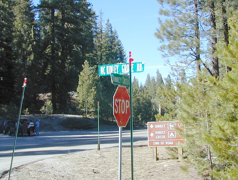
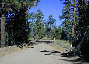
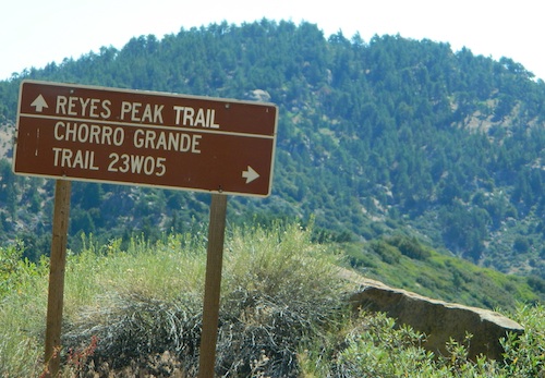
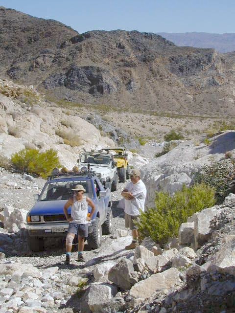
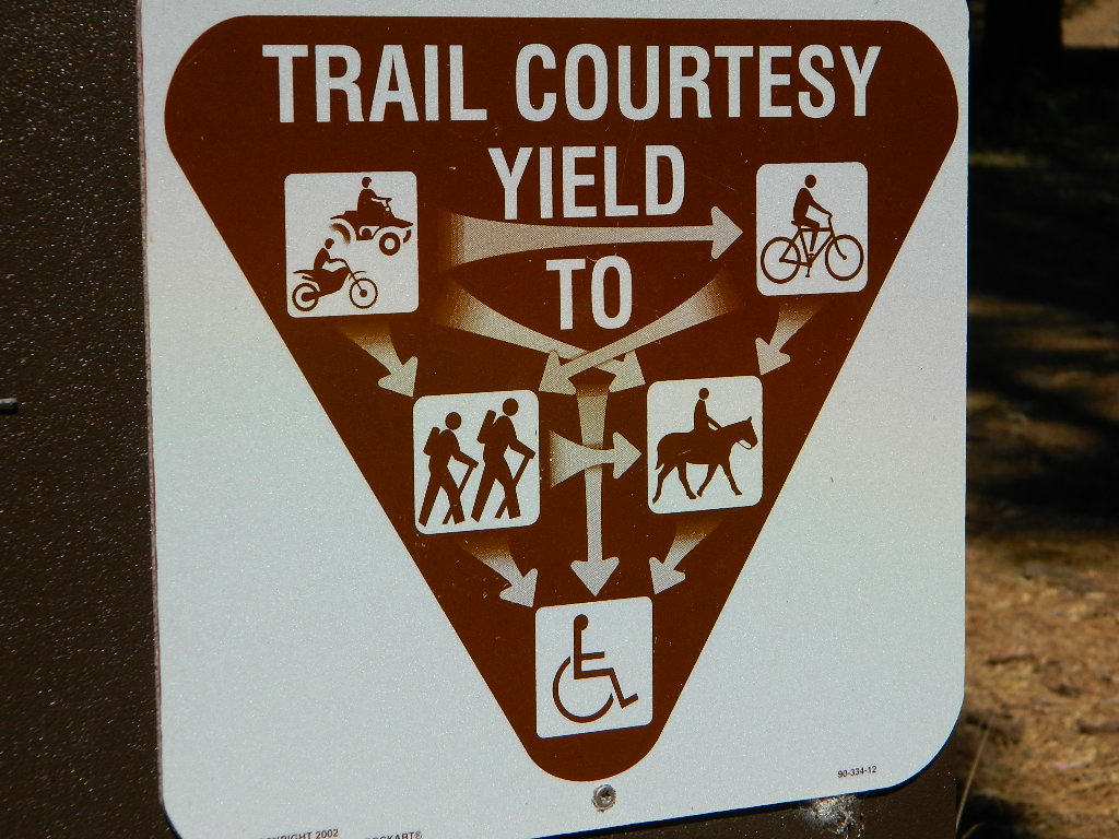
Day hikes or overnight backpacking trips require a Wilderness permit and can be obtained at the local ranger station. A good topo map will also prove invaluable on your hike. Access trailheads for Ansel Adams Wilderness from EAST and WESTERN sides of the Sierra Nevada range.

Ansel Adams Trailheads from the west –

Onion Springs Meadow trailhead, Vermillion @ Lake Edison (Sierra NF)

Isberg trailhead & Mammoth trailhead @ Granite Creek Campground via Beasore Road, way up behind Bass Lake (Sierra NF)

Isberg Pass trailhead from Yosemite National Park

Ansel Adams Trailheads from the east –

Bloody Canyon, Walker Lake trailhead, near Grant Lake on June Lake Loop (Inyo NF)

Rush Creek / Fern Lake trailhead, near Silver Lake on June Lake Loop (Inyo NF)

Agnew Meadows trailhead & Minaret Vista trailhead, Mammoth Lakes CA (Inyo NF)

Devil’s Postpile trailhead, behind Mammoth Lakes CA (Inyo NF)

Fern Lake Reflection
Fern Lake, day hike from Hwy 158 (June Lake Loop)

Secluded Lake

Sierra Nevada lakes

Often called fly fishing lakes, or backpacking lakes, these are usually located in the mountainous parts of California. Remote lakes that are ‘hard to reach’ come in 2 varieties:

hike-in lakes

Backpacking Lakes, found in the Sierra Nevada Wilderness or Northern California Wilderness Areas.

Some of our absolute favorites include:

drive to lakes

These are often many miles down a dirt road or narrow paved route (neither which is recommended with a big trailer or large motorhome). Matter of fact, some of these lake destinations require 4 wheel drive to access them. You will need a good vehicle, maps, possibly more than one. You will need time to enjoy these. They require a fair amount of work to get to, but the rewards are immense.

California Camping Maps

California Campground Maps

Maps are the key to finding your very own slice of heaven in the Wilderness. Online map sources can barely get you to your city destination correctly, much less the remote waterfall you desire. You will need a real map for your adventure. A topographical map, with all the details, dirt roads & hiking trails. If you are seeking to stay away from the touristy crowds, this is the best possible place you can be…. on this site, searching for ways to make it happen – this weekend.

BACKPACKERS BACKPACKING MAPS –

maps of California
Mount Whitney, John Muir & way beyond the High Sierra. DanaMite has all the California Wilderness maps on the new map shop. Various brands and types of maps. Most are printed on waterproof plastic now & are tear-resistant.

CAR CAMPING MAPS –

El Dorado Camping
Planning on camping outside of the developed campgrounds & finding that perfect stream side spot without the reservation & the fees? Then you will need a free fire permit (from a ranger station), plus a good map of the forests & a vehicle capable of handling the rugged the back roads. Much of California is prone to wildfires, so make sure campfires are even allowed on the backroads, before you get out there. Call the “field rangers” for back road advice and current recommendations.

CALIFORNIA OFF ROAD MAPS –

Wanna take that 4×4 vehicle somewhere really special this season? Camp well beyond the masses, way down that dirt road. We have OHV maps for SoCal, the deserts & all the National Forest maps too.

CALIF CAMPGROUND MAPS –

Start your search on the perfect campground or camp site with the destination in mind. Mountains, deserts, coastal. Parks & forests all have their own maps with all nearby camp grounds listed. We feature all the National Forest maps, as well as some State Park & National Park maps

See all California topo, hiking, camping maps

Sierra Nevada maps

coolsprings

  • California A to Z
  • California Camping
  • California Elevations
  • Camp Firewood
  • Camp Potty
  • RV camping deep in the Sierra
    RV camping at it's best in the Sierra; This rig found themselves deep in the alpine lush meadows with towering trees and a view and a very private camp site.
    Big Bend CA
    Big Bend Ranger Station, off I-80

    Sequoia Cabins

    Sierra Cabins near Sequoia Groves

    Sequoia trees naturally grow in the Sierra Nevada mountains, on the west side of the range. Several parks & forests make up what is known as “the Sequoias” – in the Southern Sierra, Sequoia National Forest; Giant Sequoia National Monument; Mountain Home State Forest; Central Sierra is home to Sequoia National Park & neighboring Kings Canyon NP; Sierra National Forest & Yosemite NP. Yep, all those areas have Sequoia groves!

    See all the Sequoia & Redwood Groves in California!

    California Cabin Rentals near to Sequoia groves –

    Sequoia cabin rentals

    TOPO MAPS of California Redwoods –

  • Sequoia Maps by NatGeo
  • Yosemite NP Maps
  • NorCal Redwoods Map
  • If you are searching for tallest species, the Coastal Redwoods located on the shores of Northern California, then you can find them over here – NorCal Redwoods

    Northern California Redwoods

    Northern California Coast Hotels & Camps

    redwoods parks
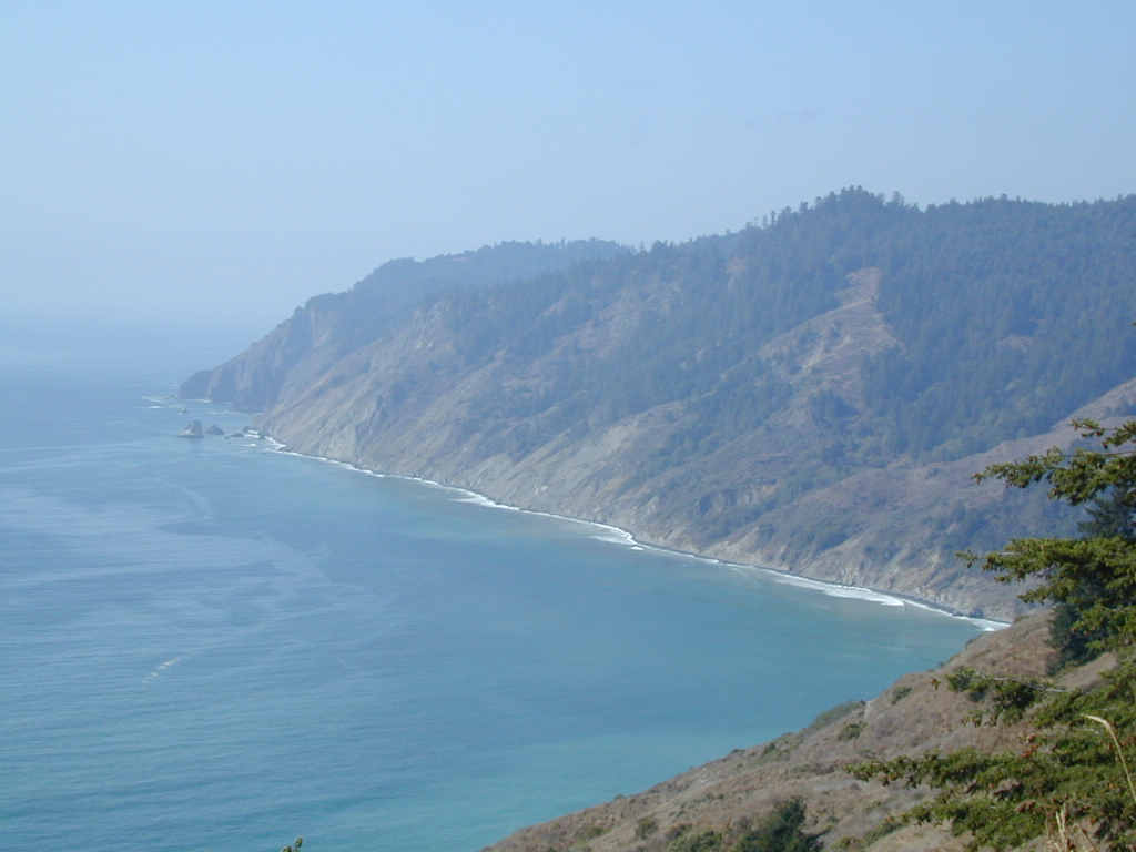
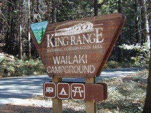
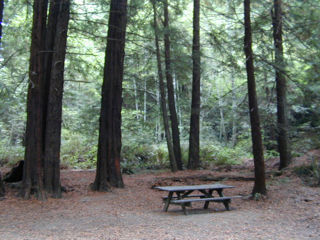
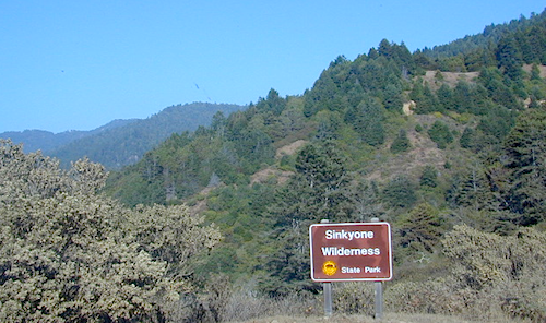
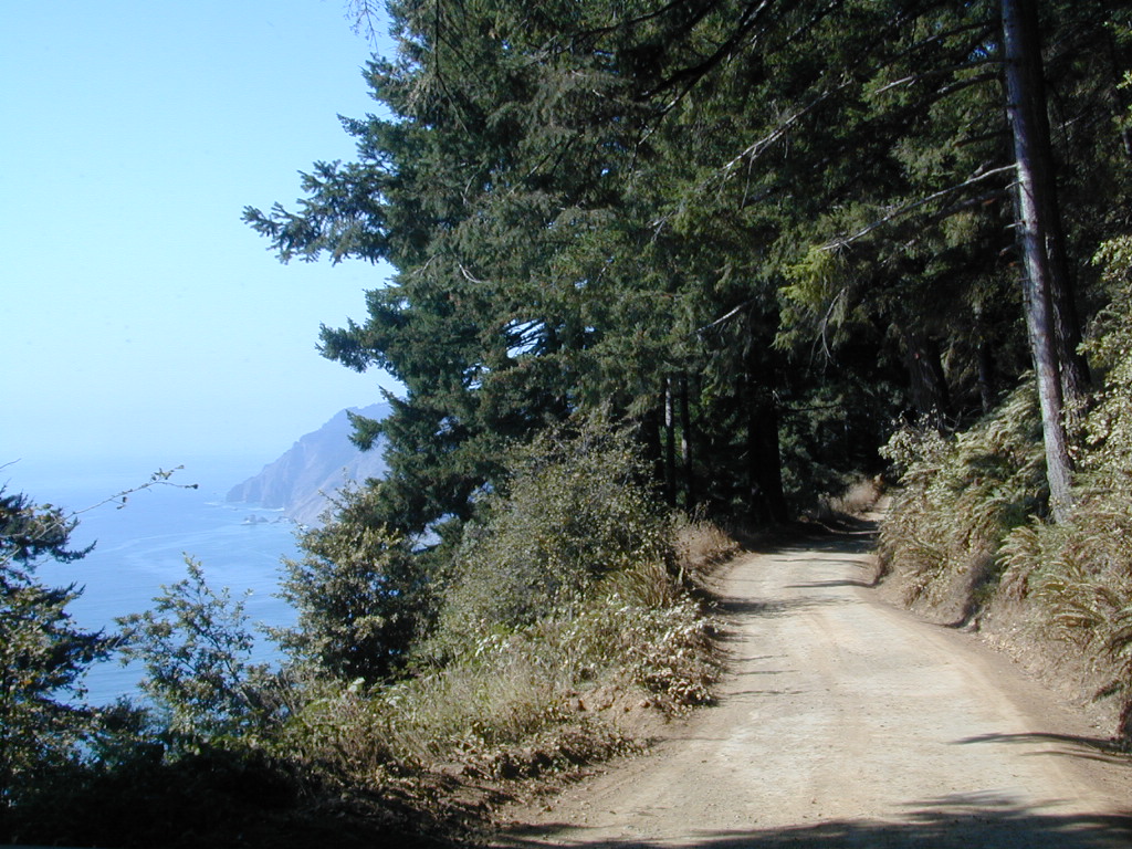
The north coast of California is dubbed the Redwood Empire, and driving north on US Hwy 101 passing the well-known wine country and communities near Clear Lake, means you’ve entered the official redwood region of Cali.

    With over 150 mile stretch between Ukiah & Crescent City, on the Oregon border, coastal redwoods thrive in this wet climate. All along US Highway 101 you can find every assortment of lodging, from standard hotels walking distance to village shops, to small secluded cottages tucked behind a winery. Sonoma & Mendocino vineyards merge on ridge lines, at the edge of oak countryside, with redwood forests & recreational rivers to the north.

    BALD HILLS ROAD: Old logging roads lead way up in elevation, behind Redwood National Park, where you can find free camping spots and firewood piles all over the clearings. A real 4×4 vehicle will be needed in wet or snowy weather conditions. AWD wagons should be cautious of deep mud and know the weather conditions ahead of time. The main gravel/dirt route traverses the Bald Hills range at 3000′ elevation and ‘epic view’ campsites are abundant. Pine Creek Road drops east into Klamath River Canyon down to Klamath Hwy 96.

    Bald Hills Rd

    USAL BEACH: In the olden days, USA Lumber Company had a prime place on the Lost Coast. Now it is a wonderful destination w/ remote beach campground hidden in the trees, next to the redwoods and creek, and the cliffs – and a big sandy beach w/ giant driftwood!

    Towns w/ Redwood Lodging in NorCal – 

    Redwood Parks in NorCal –

    (from south to north, with closest town)

    REDWOOD MAP


    Redwood Map Topo

    Topographic hiking and camping maps of the NorCal Redwood region –

    Sinkyone Wilderness

    Lost Coast of California

    Lost Coast California Sinkyone Wilderness State Park

    NPS  King Range National Conservation Area

    Redwood groves and wilderness meet the Pacific Ocean at the infamous Lost Coast of California. Northern California is NorCal – steep trails, creeks, waterfalls, ocean views, and coastal cliffs. Mendocino and Humboldt County has numerous redwood parks and picnic grounds located near Pacific Coast Hwy 1 & US Hwy 101. This particular wilderness area is located in between Westport and Shelter Cove, just west of Leggett, CA. Situated on the west side of US Hwy 101 and only accessible via a long dirt road. The Sinkyone wild lands are managed under the California State Park system.

    Sinkyone Wilderness hike Ranger Station 707-986-7711

    Sinkyone Wilderness access –

    North end – Needle Rock: 36 miles southwest of Garberville & Redway, California. Briceland Road west from Redway, this road becomes Mendocino County Road 435. The last 3.5 miles are unpaved, steep, & narrow. South end – Usal Beach: Approximately one hour north of Ft Bragg on PCH or 15 miles west of Leggett on PCH from Highway 101. Look for mile marker 90.88 on PCH. Turn north on small dirt road; 6 miles to Usal on unpaved, steep, narrow road.

    ROADS MAY BE IMPASSABLE IN WET WEATHER. RV’S & TRAILERS NOT RECOMMENDED.

      View Larger Map

    dscn0147 Usal Campground

    LOST COAST CAMPING

    Usal Campground – USA Lumber Company staged a logging operation here in the early 1900’s. Now this remote spot is a popular back road campground accessibly only by a long dirt road drive. 4×4 and car camping only; No trailers or RV campers!

    NEARBY TOWNS

    Wilderness State Park

    Tahoe Lake Map

    Tahoe Maps: trail maps

    lake camp, hike, mountain bike, off-road, ski, snowmobile

    Tahoe Trail Maps / Tahoe National Forest

    tahoe hiking maps

    Numerous State Parks dot the shoreline at Tahoe, while the National Forest lands and Wilderness Areas span most of the peaks above. Camping, backpacking, boating, kayaking, fishing, climbing, mountaineering, mountain biking, snow skiing, snowmobiling are all popular recreation in this Sierra region. US Highway 50 and Interstate 80 are the main western access routes to Lake Tahoe. US Hwy 395 leads to Tahoe, up from the Eastern Sierra and Southern California.

    Wanna find every waterfall or every creek to fish? This is the place that will help you find them. Easily, with good old fashion printed maps. Hard copies, some waterproof & tear resistant, most with topographical data and all roads, trails, campgrounds and parks. Whether or not you water ski or cross country ski, these maps will save your ass – when you are way back there in the boonies.

    Tahoe’s Rubicon Trail connects the historic Gold Country to the alpine lake via granite wilderness sky ways above 7000′ elevation, but a real 4×4 and overnights are required. The back roads and trails are endless in these parts of the Central Sierra Nevada mountains.tahoe maps

    keep tahoe blue

    Nearby attractions surrounding Lake Tahoe –

    Tahoe National Forest
    Tahoe Rim Trail
    Rubicon 4×4 Trail
    Lakes Basin Recreation Area
    Sierra Buttes
    Desolation Wilderness
    Grover Hot Springs
    Blue Lakes
    Hope Valley

    cabin rentals

    Dinkey Creek

    Dinkey Creek, California

    dinky what?

    Dinkey Creek California
    Dinkey Creek really ain’t all that small is it?

    Dinkey Creek elevation 5700′

    Dinkey is a major feeder creek originating with high altitude lakes in the Wilderness above, flowing down to the Kings River. Dinkey Creek has a seasonal large campground and a general store that is open during the summer months. Campground Reservation are common since this is a well-known destination of the Western Sierra.

    in the mountains above Fresno

    Located deep in the Sierra National Forest, 15 miles south of Hwy 168 @ Shaver Lake, via a very long, winding, paved road. Not suitable for large motorhomes.

    Dinkey Creek Road becomes McKinley Grove Road @ intersection of historic, wooden Dinkey Creek Bridge. McKinley Grove Rd  leads further south, past Sequoia trees, numerous other NFS campgrounds and on to the 2 big reservoir lakes (Wishon & Courtright). The Dinkey Road is usually only open during warmer months (MAY-OCT), snow & weather permitting.

    Dinkey Creek Store

    A very popular place for summer vacations, fishing, hiking and picnicking. The day use area near the historic wooden bridge has numerous dirt parking lots, trails, picnic tables and pit toilets. Excellent place for exploring on foot with the family, or creek fishing from the boulders.

    mountains backroad horseback trails picnic fishing mountain bike camps hikesnight skiesNFS

    wooden bridge
    Historic Dinkey Creek Bridge

    Dinkey Creek Campground RV camping

    • Elevation: 5,700′
    • Number of Sites: 128
    • Water: piped
    • Toilets: flush
    • Amenities: showers, horse corrals
    • Vehicle Accessibility: 30′ max RV
    • Campsites Reservation: Yes
    • Length of Stay: 14 Days
    • Season: May – September
    • Trailheads: Dinkey Lakes Wilderness

    Mckinley Grove intersection

    hikesDinkey Lakes Wilderness 

    Dinkey Lakes Wildernesstopo mapsDinkey Lake Trail Map


    Back roads are abundant around Dinkey, leading higher up to large, granite reservoirs (with more camping options) and numerous forest dirt roads zig-zag across the mountain terrain wherever possible.

    Dusy Ershim Trail is a famous Sierra 4×4 route that connects Courtright Lake to the Kaiser Pass. Granite everywhere, slow-go rock crawling, skirting in between two Wilderness Areas.

    Sierra Forest Road #11S12, is a dirt road that leads downhill, past the North Fork of Kings River, from high elevations near Dinkey to the Black Rock Reservoir and meeting up with Kings River near Pine Flat. An excellent loop trip for those wanting to experience dispersed camping on the back roads, but a high-clearance vehicle is required. This road is gated and closed for winter, so call ahead to the rangers, to see if it is open before you make the journey.

    Wilderness Wishon California
    Wilderness Wishon

    This whole Western Sierra is home to major hydroelectric dams that create a water supply for farms and cities located in the Central Valley below.

    nearby lakes –


    Los Angeles Lakes

    jackson lake view

    Los Angeles County Lakes

    hikes NFS fishing campground picnic mountain bike mountains

    lake piru

    Piru Lake is located N of Los Angeles, off Hwy 126

    nearby towns –

    Angeles Maps – hiking, OHV & mountain biking –

    California Motorcycle Riding

    California Motorcycle Road

    motorcycle california

    Long Way Down BMW Check out the Bikes!

    California Scenic Drives – On a Road to Nowhere

    Google Earth Community – California Motorcycle Riding Areas

    Motorcycle Ride California – Tours & Trails

    CA Motorcycle Maps & OHV Maps California – All Roads, All Trails

    Off Road Destinations – Baja California MX Towns

    California Motorcycle Events & Races

    California Motorcycle Association – Racing as a Business

    Baja California Maps

    motorcylce trailsdirt bikes

    free stickers
    free stickers, just ask

    Reyes Peak

    CA 33 N
    Ojai Camping
    North of Ojai, CA

    Camp out among tall pines, well above the coastal fog.
    Los Padres National Forest Road #6N06

    Ojai, CA – NORTH on HWY 33
    a very scenic drive, in North Los Angeles County

    Coastal Foothills

    Near the Pine Mountain Summit (elev 5080′) on California Highway 33, the small sign only reads PINE MTN and points east, to a rugged side road. By far one of the worst paved roads around.

    This Reyes Pine Mountain, should not to be mistaken for the golf course community of Pine Mountain Club, many miles north of here, around the other side of Mount Abel.

    This is Reyes Peak, also known as Pine Mountain Ridge “north of Ojai”, on the sorta paved Pine Mountain Road. (Los Padres National Forest Rd # 6N06)

    overozena
    The view above is from one huge dirt pull out, on the left – over looking Ozena Valley, on the west end of Lockwood Valley Rd. Motorhomes, trailers, off-roaders and hunters like this as a last minute camp site, very close to the highway.

    If your vehicle can endure 9 long miles of poor pavement, pot-holed roads, then maybe you can find seclusion back in the woods around here.

    Six or more primitive campsites, spread out along a forested ridge line (around 5000′ elevation). Tables and fire rings only. No fees, no toilets. Bring a shovel and plenty water. No pipes, no running water up here.

    The scattered camp sites are located far enough away from each other, that the location provides some privacy and still relatively close to town. Some sites are in forested settings, while others have big boulders, but are exposed to wind and sun. Although these few sky view camps are perfect for the stargazers.

    Dark night skies can be okay, if the coastal fog stays low. Neighboring Mount Pinos is all paved – usually best choice for RV campers w/ telescopes, who need large areas of flat level ground.

    reyespeakcamp

    One particular camp site is located at a very decent view spot. Boulders, pine trees and mountain views to the south. Click the image above to expand.

    PRIMITIVE CAMPGROUNDS
    Campfire permits are required.

    Launch Spot

    The end of the road is a top destination LAUNCH spot for hang gliders & para-sailers. Watch them jump on YouTube compliments of DanaMite.

    Youtube


    The hiking Trailhead for Reyes Peak and the Chorro Grande Trail #23W05 are also at the end of this dead end road #6N06. Reyes Peak Trail leads east, out to 7510′ elevation, overlooking the whole lower Los Padres region – Lockwood Valley, Ozena, Piedra Blanca, Sespe Gorge, Potrero Seco.

    reyespeaktrail

    Get outside this weekend. There are no more excuses!

    MAPS: Los Padres National Forest Maps

    NEAREST TOWNS:

    Borrego Park

    Anza Park / Borrego Park

    purplmtns_i

    East San Diego County, Borrego Springs CA

    San Diego Backcountry
    600,000 acres of SoCal desert
    San Diego desert maps

    BLOOM: mid-March thru May
    Anza Park elevations range from low to high. Lowest near eastern border (next to the Salton Sea) to the upper reaches of the western slopes @ 4000′. Wide, deep, sandy, long desert washes, native petroglphs, wind caves, slot canyons and split mountain. This uncrowded state park has the most acreages than all of the parks.

    OPEN CAMPING

    Camp in a developed campground, a small back country site or camp primitive on nearly any dirt road. Car camping to 4×4, this park has lots to offer folks wishing to really escape. No ground fires allowed, so bring your metal campfire bucket and large trash bag to carry out your ashes. The last thing you want is to scar these pristine white desert washes.

    DESERT WILDFLOWERS

    Steep rocky canyons on the Laguna mountain foothills can be challenging terrain, so bring good, sturdy hiking boots. Wildflowers can be abundant on certain years. Lower elevations sprout up first; Higher elevations along County Rd S-2 & S-22 bloom later in Spring. By June 1st most of the color is gone in and around Borrego Springs, so this is a real Winter and Spring vacation kinda spot. California desert wildflowers include primrose, barrel cactus, prickly pear, monkey flower, ocotillo & many more.

    ANZA BORREGO WILDFLOWERS

    seaoflavendar

    see also BORREGO SPRINGS

    find you way easily with the Anza Borrego Desert Map

    anza park

    This is the largest State Park in California and “open car camping” is allowed on the back roads. (also referred to as primitive camping, free camping or 4×4 camping) One of the few places in Southern California that you can camp outside of a developed Campground and still have a campfire. You gotta bring a large metal bucket to have your campfire in – as ashes scar white sandy washes and ground fires are not allowed.

    Map California Baja

    Secret Beaches
    Secret Beaches of Baja

    2003 Baja Map

    Baja Topo Map

    Topographic Maps of California Baja
    Baja California Almanac

    BAJA MEXICO MAP

    The mysterious topographic map maker, Landon Crumpton, is gone. Although his Baja Almanac book of the Mexican peninsula is still as popular as ever.

    bajaalmaac

    The Total Escape crew has been using this amazing topo map for Baja Mexico since our the very first excursions in 1990. Click below to read more about the famous, hard-to-find Baja Almanac publication.

  • Baja California Almanac
  • Topographic Map Book of Baja California

  • National Geographic Baja Maps
  • NatGeo Baja California Mexico Maps

    Baja California Maps

  • Find more Baja Maps
  • Obscure Books & Maps, AAA Maps of Baja

    Baja Snack

    Anza Borrego Wildflowers


    Desert Wildflowers / Anza Borrego SP

    Anza Borrego Flowers / Borrego Springs CA

    Wild Flowers of Box Canyon, Mecca
    East San Diego County, Borrego Springs CA

    San Diego Backcountry
    600,000 acres of SoCal desert

    BLOOM: February thru MaySan Diego desert maps
    Anza Park elevations range from low to high. Lowest near eastern border of park (next to the Salton Sea) to the upper reaches of the western slopes @ 4000′ of the Laguna mountains. Lower elevations sprout up first; Micro flowers, Easter-egg-color splendor in the dry washes. Higher elevations bloom later (along w/ areas on San Diego County Rd S-2, the Great Overland Stage Route)

    Drive from Temecula to Warner Springs, and then proceed east – out to the Salton Sea via Back Road Highway #S22 (Montezuma Grade). A great route to take thru the Borrego State Park – for the full gamut in vegetation & altitude. Grapevine Canyon is an alternate off road route down a scenic canyon. Culp Valley has a small campground, plus lots of boulders and decent views to the Borrego Valley. Off the highway, on dirt, one-lane side roads lead to many primitive spots. Perfect for private picnics, stargazing or overnight camping.

    anza wildflowers include – Arizona Lupine, Barrel cacti, Brittlebush, California Primrose, Cheesebush, Creosote, Desert Chicory, Desert Apricot, Desert Hibiscus, Desert Lavender, Desert Pincushion, Fiesta Flower, Fishhook Cactus, Gold-Poppy, Ghost Flowers, Ground Cherry, Fagonia, Prickly Pear, Monkey Flower, Ocotillo, Rigid Fiddleneck, Rock Daisy, Sahara Mustard, Sand Verbena, Short-Wing Deerweed, Spanish Needles, Spectacle Pod, Trailing Windmills, Turpentine Broom, Whispering Bells, Wishbone Bush

    Anza Borrego Camping: Palm Canyon and RV Resortscamp


    BORREGO MAPS

    Wilderness Anza Borrego Map
    Wilderness Press Anza Borrego Map


    Hot Springs of the Southwest
    Hot Springs of the Southwest

    Anza Borrego Flora

    __________________________________________________

    Annual California Wildflower Reports


    anza flower links:

    Anza-Borrego National History Association
    Anza Borrego Desert
    Anza Borrego Desert State Park
    Borrego Campfire Restrictions
    Desert USA Reports

    blurflwr

    nearby towns:

    Borrego Valley Flora

    Mojave Road Map

    Mojave Road Trail

    The Mojave Road

    Mojave Desert Back Roads

    The historic Mojave Road spans the high desert region of east California – crossing the Colorado River westward to roughly Los Angeles. Now a network of dirt and paved routes follow the original overland trade route. Click the plaque photo below to read more.

    The Mojave Road

    The rugged, dirt road cuts right through the middle of the Mojave National Preserve. Mid Hills, Kelso Depot, Cima.

    mojave topo maps

    Joshua Trees, mountains, boulders, sand dunes, railroad history. The high desert is abundant with wildlife, plant life, lava tubes, caverns, camping, and dirt roads. Plus wild windy weather.

    Mojave Loop

    MOJAVE PARK
    Located on the way to Vegas, NV – or the Grand Canyon in Arizona. Mojave NP is in the triangle space in between Interstate 15 and Interstate 40, on the eastern side of southern California. Freeway close, free camping in the Mojave does indeed exist, if you know where to look.

    Mojave Map by Trails Illustrated NatGeo 

    NatGeo Map Mojave California

    National Geographic acquired Trails Illustrated Maps more than a dozen years ago. Ever since these plastic topo maps have gone 2 sided, full-color w/ more details featured than ever before. Updated regularly. Waterproof plastic, perfect for outdoor desert travels.

    Mitchell Cavern, called Providence Mountains SRA, has camping, but it is situated up on an exposed bluff overlooking the freeway. Location gets windy as hell. Better campground is at Hole in the Wall, or even better, Mid Hills Camp.

    Mojave Peaks

    Primitive, free camping can be found off of Kelbaker Road, but be warned: dirt roads can get deeply rutted and impassible during extreme wet weather. 4WD may be required sometimes.

    • CAMPGROUND CAMPING
    • FREE CAMPING
    • GROUP CAMPING
    • HIKING TRAILS
    • HISTORIC MONUMENTS
    • HORSE CAMPING
    • HORSEBACK TRAILS
    • JOSHUA TREES
    • LAVA TUBES
    • MINING HISTORY
    • MOUNTAIN BIKE TRAILS
    • OFF ROAD CAMPING
    • RAILROAD HISTORY
    • RANCHES
    • RV CAMPING
    • SAND DUNES
    • VOLCANIC TERRAIN

    Mojave Desert Map by Tom Harrison

    Mojave Road Map

    One of the first readily available topographic style maps of the Mojave desert. Waterproof plastic, Tom Harrison brand maps are perfect for any type of backcountry travel, on foot, on horse, or off-road.

    Campsites

    AAA & NPS: one-page freebie; excellent overview map created by the Automobile Association of Southern California w/ the National Park Service. Handed out at Visitors Center and ranger stations (1990s)

    BLM Maps of Mojave: OHV (off highway vehicle) maps can be found at the local Bureau of Land Management ranger stations:

    Benchmark California Atlas

    California Atlas
    Best map for statewide coverage!

    This premium full state atlas has the whole, massive Mojave desert covered, which extends north into Death Valley National Park and south to Joshua Tree National Park.

    Mojave Desert Books


    SoCal Map

    cali maps

    Southern California is a culture unto itself. The SoCal region spans from the coast of San Diego to the inland deserts of Imperial. Upward to included most of Mojave desert and over to the Santa Barbara coast, with he coastal mountains in Los Padres National Forest as the backdrop. If you seek a mountain bike trail in Big Bear, a picnic spot on the Malibu coast, a camp site in Anza Borrego Desert or an 4×4 route near Gorman, we will have you covered with our large selection of topos and trail maps.

    hike, bike, camp, off road and explore

    SoCal Map Set

    A handy map set that includes all 4 Southern California National Forests

    SoCal More Maps for 4×4 trails, ATV, dirt bikes, quads, rally, 4WD routes

    Hiking Maps of SoCal
    Wilderness and recreation maps of the Southern California region

    Agua Tibia Wilderness Map
    Channel Islands Map
    Cucamonga Wilderness Map
    Cuyamaca Rancho State Park
    Death Valley National Park Map
    Dick Smith Wilderness Map
    Joshua Tree National Park Map
    Malibu Creek Map
    Mojave Desert Map
    Mount Wilson Map
    Mount Baldy Map
    PCT Trail Maps
    Pine Creek / Hauser
    Point Mugu State Park
    Anza Borrego Desert Map
    San Diego Backcountry Map
    San Gorgonio Map
    San Jacinto Map
    Santa Monica Mountains Map
    Sespe Wilderness Map
    Topanga Canyon
    Verdugo Trail Map
    Zuma Canyon Map

    California Hikes

    San Gorgonio Wilderness

    sangorgonioview
    Old Greyback, San Gorgonio Mountain – as seen from forest road #2N93

    Southern California /San Gorgonio Wilderness Area / San Gorgonio Mountain Peak Hikes / Backpack Gorgonio

    The tallest mountain peak in Southern California towers over the often smoggy basin of the Inland Empire, Riverside & San Bernardino. Coachella Valley lies to the southeast. Joshua Tree National Park lies due east.

    Old Greyback is a fitting nickname for the peak. The massive, bald, decomposed granite gravel paves the whole top layer, above treeline (altitude nearing 12,000 feet above sea level) and this impressive peak can be seen from most of the Los Angeles basin and the Palm Springs desert. The expanding view of the Pacific Ocean can be seen 70 miles to the west, but only if the skies are clear. Windy, winter days are excellent conditions for viewing, but plan your hike accordingly as this peak could be covered in deep snow during winter or springtime.

    This is a very popular backpacking weekend trip to escape from the big urban populations. San Diegans and Angelinos can easily access this location in a few hours from home, via Interstate 10 and some mountain driving on a 2 lane highway.

    tallest peak

    94,702 acres

    San Gorgonio Peak – 11,503′ elevation

    San Bernardino National Forest


    Forest & Hiking Maps –

    San Gorgonio Topo Maps

    • San Gorgonio Wilderness Map (USDA)
    • San Gorgonio Trail Map (Tom Harrison)
    • San Bernardino National Forest (USDA)

    Gorgonio trailheads –peak hiking

    • Hwy 38 @ Angeles Oaks
    • Hwy 38 @ Barton Flats – Jenks Lake
    • Hwy 38 @ Heartbar – Fish Creek & Mission Springs
    • Hwy 38 @ Fossil Falls – Momyer & Big Falls
    • I-10 @ Millard Canyon – East Branch & Middle Branch
    • Interstate 10 @ Cottonwood Canyon – PCT access

    nearby campgrounds –

    Heartbar Campground (Hwy 38)

    Mission Springs Trailhead Camp

    Dry Lake Campground

    nearby communities & towns –

    ANGELES OAKS
    BIG BEAR CITY
    BIG BEAR LAKE
    FOREST FALLS

    surrounding wilderness and forest lands –

    San Bernardino National Forest
    Pipes Canyon Pioneertown Preserve
    San Jacinto Wilderness

    National Forest & Wilderness Permits –

    USDA San Bernardino NF

    more San Gorgonio info & links –

    summitpost.org/san-gorgonio-wilderness
    San Gorgonio Wilderness Wiki
    Trails of the San Gorgonio

    Gorgonio Trailhead

    Equestrian Trails
    MIssion Springs camp & corrals at trailhead. Dirt road above Heart Bar.

    John Muir Wilderness

    John Muir Hiking / John Muir Map

    High Sierra Hiking

    California Wilderness Area Acres Topographical Maps
    John Muir Wilderness

    elevations: 4000′-14,496′

    584,000 John Muir Wilderness Maps
    Inyo National Forest

    JMT

    High Sierra Nevada / Eastern Sierra

    Rugged Sierra Nevada high country. The highest peaks in the Sierra Nevada mountains can be found inside this Wilderness. Many peaks are well above 13,000 feet. Granite, glaciated basins, big snow, alpine lakes, meadows, wildflowers, streams, creeks, cliffs, jagged peaks. Mount Whitney stands as the tallest mountain in the lower 48 states.

    John Muir Trail Maps
    – JMT Topo Map

    lacontedivide
    Le Conte Divide, Sierra Nevada California – 12,000′ elevation peaks

    Eastern access via steep granite hiking, off US Hwy 395 (Bishop, Independence, Lone Pine)
    Western access backpacking thru Kings Canyon National Park, Hwy 180
    or Sequoia National Park, Hwy 198 (Mineral King, Three Rivers)
    or Sierra National Forest, Hwy 168 (Lake Edison, Florence Lake, Courtright Reservoir)
    North access via backcountry Yosemite National Park, Hwy 120
    or Mammoth Area towns (Lee Vining, June Lake, Mammoth Lakes)

    Hundreds of miles of hiking trails, some of the highest peaks in the nation. Trails open to equestrian and foot traffic only. Trailhead quotas limit the amount of day hikers and backpackers that an access the Wilderness daily. Wilderness permit required: Inyo National Forest Permits

    Eastern Sierra Visitor Center
    Inyo Visitors Office

    JM Topo Trails

    USDA National Forest
    USFS, NPS, BLM

    NFS NPS

    Eastern Sierra Interagency Office
    US Hwy 395 @ SR 136
    Lone Pine, CA 93545
    760-876-6200

    JMT
    JOHN MUIR TRAIL- John Muir Wilderness

    nearby towns, parks & resorts:

    Aspendell
    Big Pine
    Bishop, CA
    Courtright Reservoir
    Florence Lake
    Independence, CA
    Kings Canyon National Park
    Lake Edison
    Lone Pine, CA
    Mammoth Lakes
    Olancha, CA
    Tom’s Place
    Wishon Reservoir
    Yosemite National Park

    www.flickr.com

    California 4×4 Trails

    Canyons of Panamint Valley

    California Back Roads: MILD to WILD

    jeepers, gear-heads, wheelers, ‘froaders, dirt bikers, anything with a motor

    Here at Total Escape we love driving on dirt back roads so much, DanaMite created a whole freaking web site about it! Whether you like to “wheel” your Jeep, truck, SUV, ATV, UTV, or an all-wheel- drive sportwagon – we have the California terrain covered. Detailing the dirt – from basic gravel roads and forest routes to High Sierra rock climbing routes; Trailheads, campsites, maps and much more. Mountains to deserts and everything in between.

    California has plenty to explore – off road!

    4x4 BLM USDA State Parks camping Back Roads

    California Back Roads

    California Off Road Areas

    California Off Road Maps

    CA Off-Road Maps PDF

    California 4×4 Clubs

    Driving on the Beach

    Off Highway Vehicle Areas

    State Vehicle Recreation Areas

    SUV Trail in California

    Winter Wheelin

    4×4 Camping in California

    4×4 Off Roading

    4×4 Rentals in California

    all posts under category “Back Roads”

    all posts under category “Off Road”

    Lost Coast Roads

    secluded camps

    waterfalldrive

    California Off Road Areas

    4x4 Sierra

    The list below is of awesome California locations that do have off-road trails surrounding them. Some destinations listed are heavy use off-road – with OHV parks or camping nearby, while others are simply scenic dirt backroads or forest roads for easy driving. Topographic maps can be found for most areas, and should have all roads displayed, dirt and paved routes, as well as campgrounds, hiking trails and trailheads.

    SoCal 4x4 Big Bear

    This California “off road towns” list was originally part of the California Off Road Maps page, but it surely deserves it’s own unique post, since it is an ever expanding list. Ongoing.

    Searching for Off Road Parks inside California?

    Try these links –
    State Vehicular Recreation Areas
    California OHV Parks

    OHV Yields To All

    Borrego Valley