
Desert Wildflowers / Anza Borrego SP
Anza Borrego Flowers / Borrego Springs CA

East San Diego County, Borrego Springs CA
San Diego Backcountry
600,000 acres of SoCal desert
BLOOM: February thru May
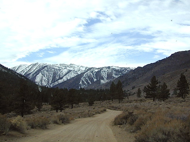
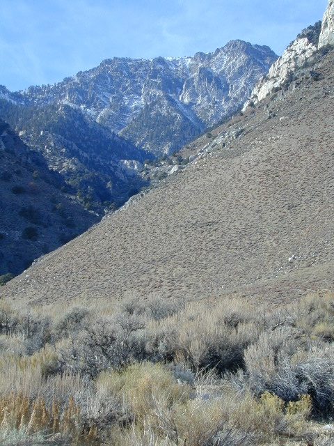
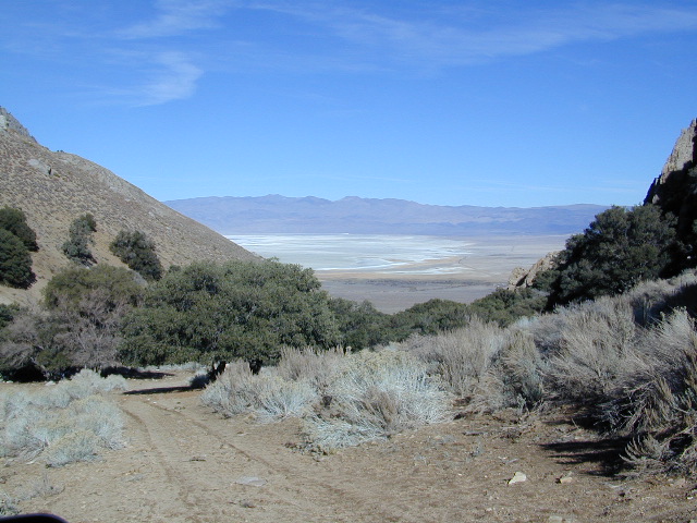
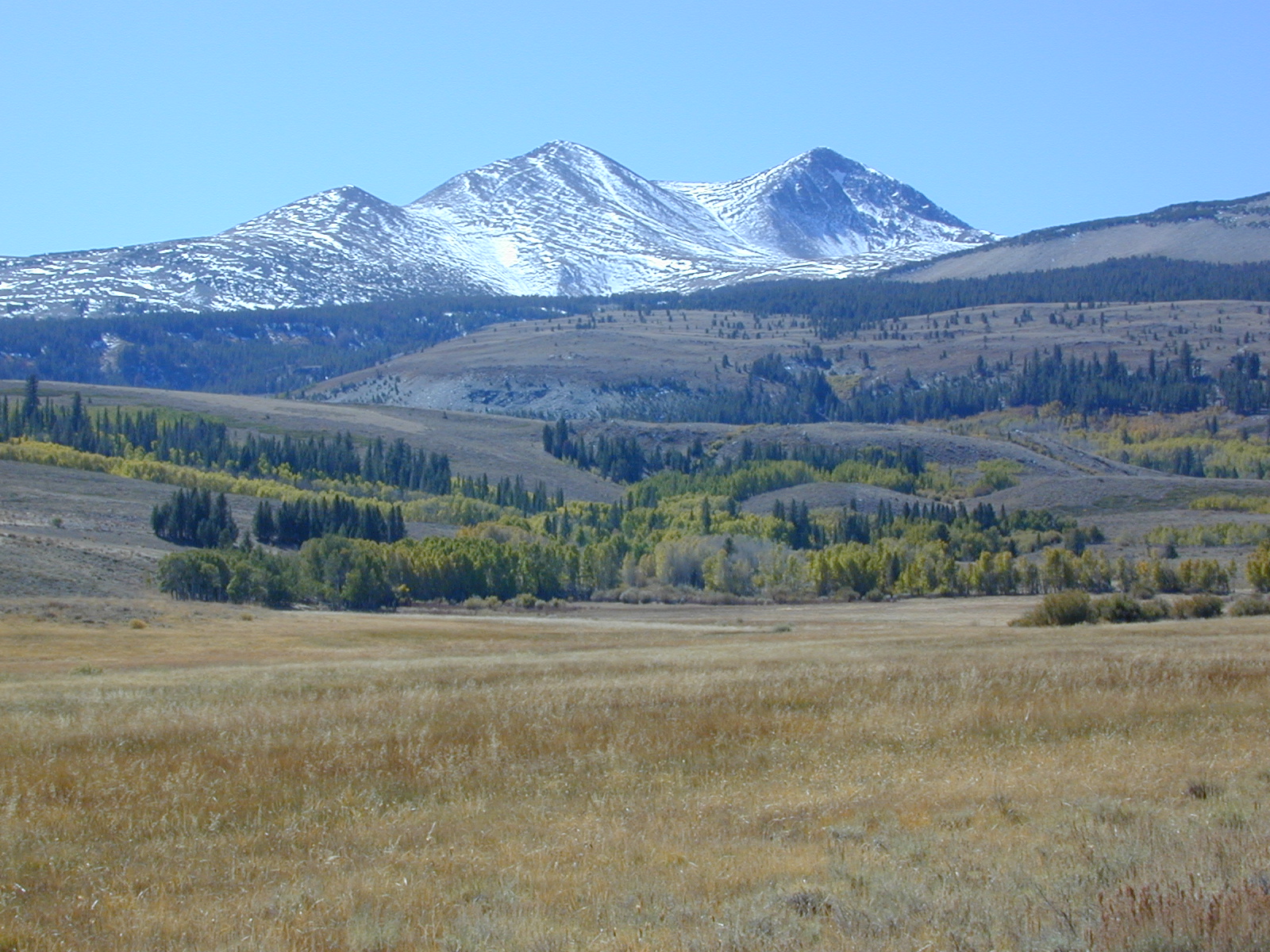
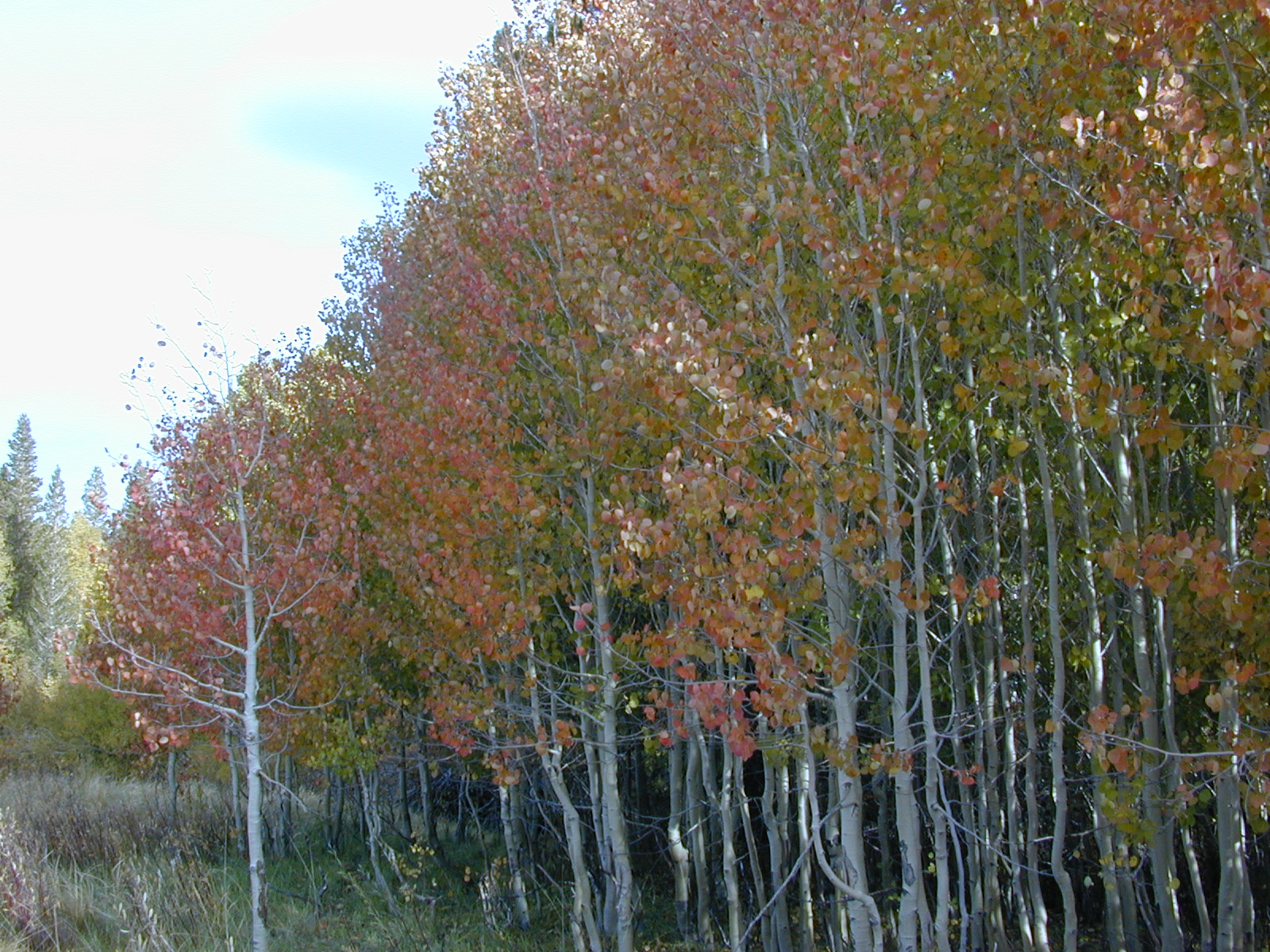
Anza Park elevations range from low to high. Lowest near eastern border of park (next to the Salton Sea) to the upper reaches of the western slopes @ 4000′ of the Laguna mountains. Lower elevations sprout up first; Micro flowers, Easter-egg-color splendor in the dry washes. Higher elevations bloom later (along w/ areas on San Diego County Rd S-2, the Great Overland Stage Route)
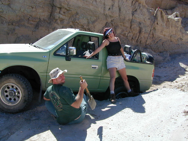
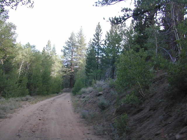
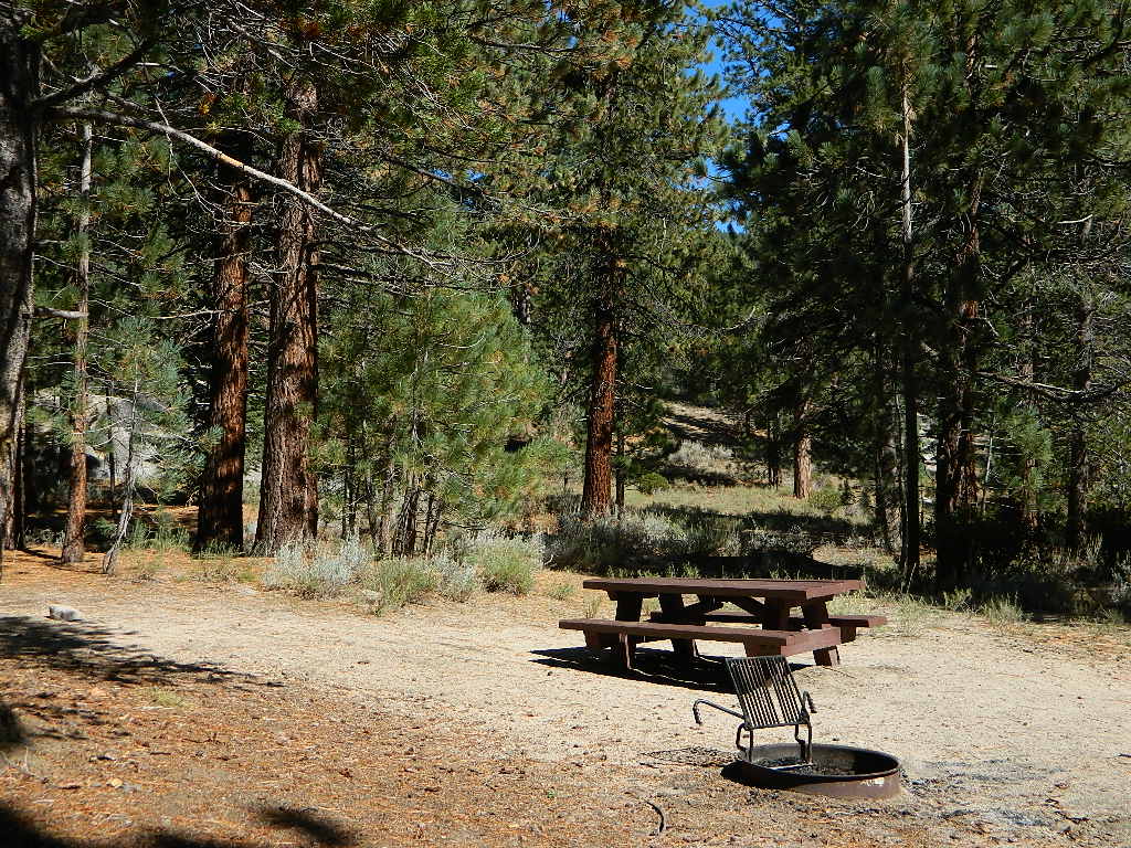
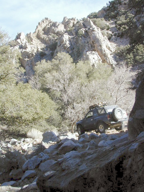
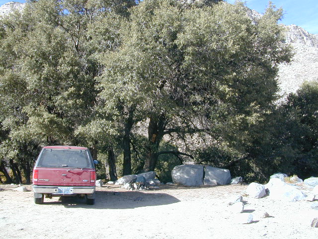
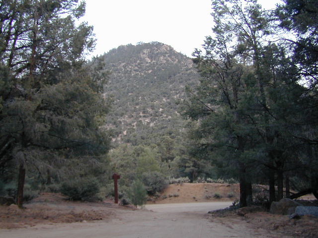
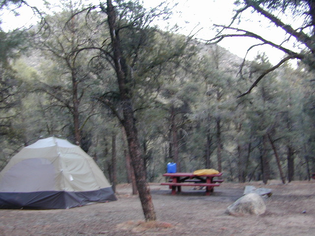
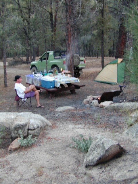
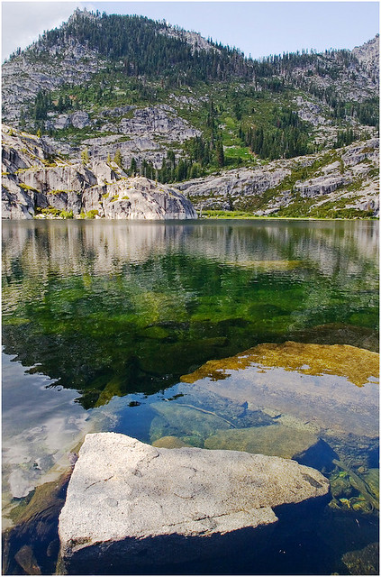
Drive from Temecula to Warner Springs, and then proceed east – out to the Salton Sea via Back Road Highway #S22 (Montezuma Grade). A great route to take thru the Borrego State Park – for the full gamut in vegetation & altitude. Grapevine Canyon is an alternate off road route down a scenic canyon. Culp Valley has a small campground, plus lots of boulders and decent views to the Borrego Valley. Off the highway, on dirt, one-lane side roads lead to many primitive spots. Perfect for private picnics, stargazing or overnight camping.
anza wildflowers include – Arizona Lupine, Barrel cacti, Brittlebush, California Primrose, Cheesebush, Creosote, Desert Chicory, Desert Apricot, Desert Hibiscus, Desert Lavender, Desert Pincushion, Fiesta Flower, Fishhook Cactus, Gold-Poppy, Ghost Flowers, Ground Cherry, Fagonia, Prickly Pear, Monkey Flower, Ocotillo, Rigid Fiddleneck, Rock Daisy, Sahara Mustard, Sand Verbena, Short-Wing Deerweed, Spanish Needles, Spectacle Pod, Trailing Windmills, Turpentine Broom, Whispering Bells, Wishbone Bush
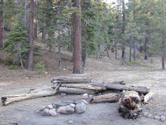
Anza Borrego Camping: Palm Canyon and RV Resorts![]()
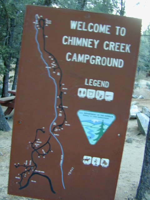
BORREGO MAPS


__________________________________________________
Annual California Wildflower Reports

anza flower links:
Anza-Borrego National History Association
Anza Borrego Desert
Anza Borrego Desert State Park
Borrego Campfire Restrictions
Desert USA Reports

nearby towns:
- BOMBAY BEACH
- BORREGO SPRINGS, CA
- JULIAN, CA
- MECCA
- MT LAGUNA
- PALOMAR MTN
- RAMONA, CA
- SALTON CITY
- SALTON SEA
- WARNER SPRINGS


 If you’ve ever tried to travel across the state with a GoogleMap, YahooMap or MapQuest one page printout, you will soon realize the limitations. Stuck in a small town called Julian, at night, on Christmas Eve, arguing with your partner, trying to find your way over to Interstate 10. Not a good plan! A


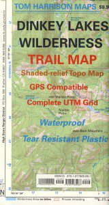


 Ishi Wilderness Map
