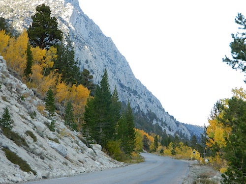
Rock Creek Road
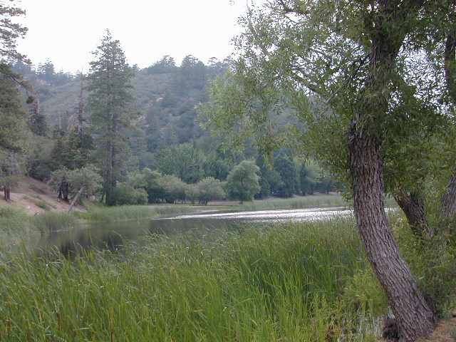
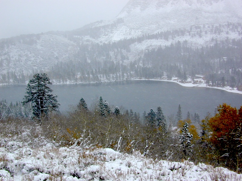
Rock Creek Lake, Eastern Sierra, California
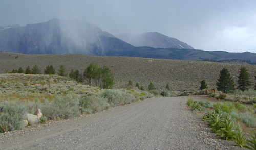
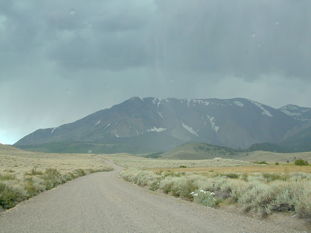
Inyo Forest Road #4S12
also known as Inyo Road 12, and also Rock Creek Rd.
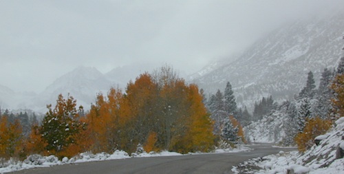
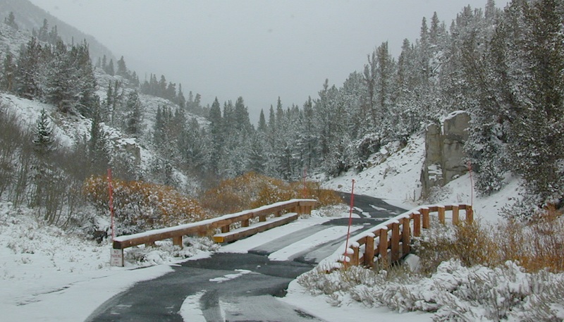
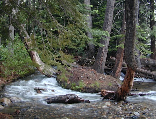
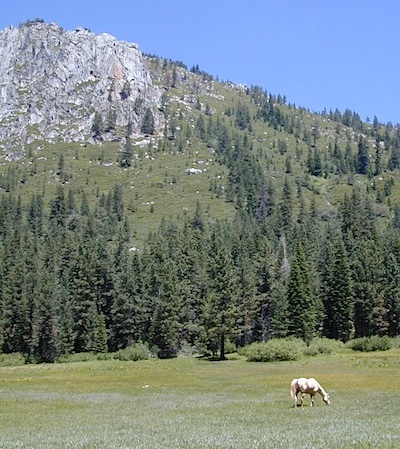
Majestic mountain scenery. Popular paved route that leads from US 395 up to Rock Creek Lake, on the edge of granite wild lands; lake is situated above 9000′ elevation and the hiker trailheads are further up, beyond the lake at over 10,000 feet. Steep canyon, large canyon, rocky granite canyon, high elevation.
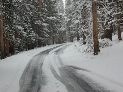
Super scenic drive, but open less than half the year, due to deep snow. Eastern Sierra Nevada mountains. Inyo National Forest
North of Bishop, CA
South of Mammoth, CA
SW of US Highway 395
![]()
![]()
![]()
backpacking
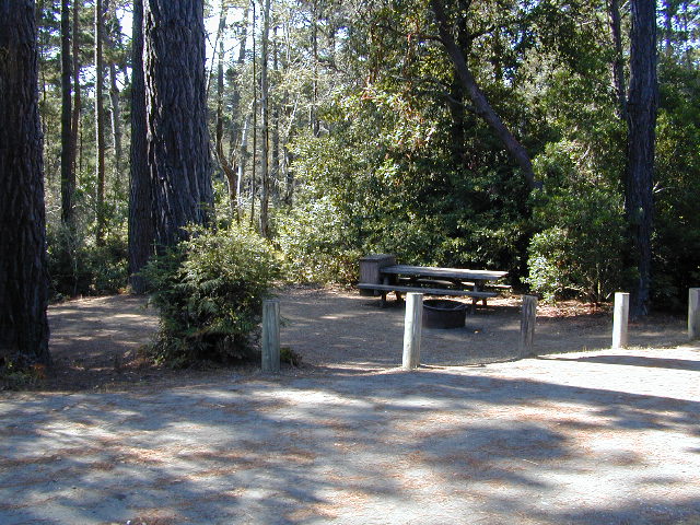
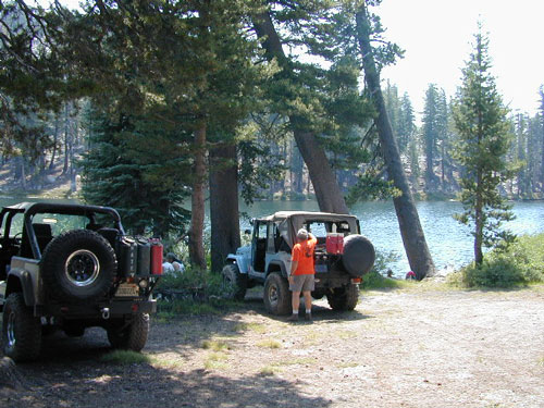
camping
fishing
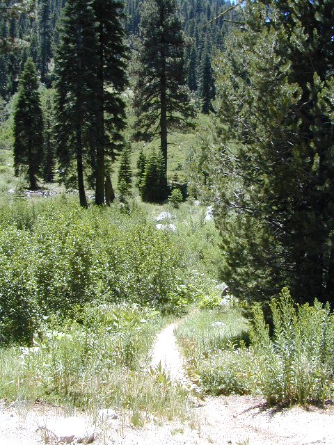
hiking
horseback
trailheads
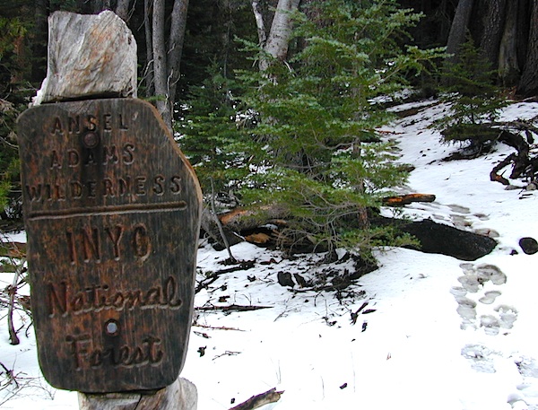
wilderness
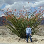
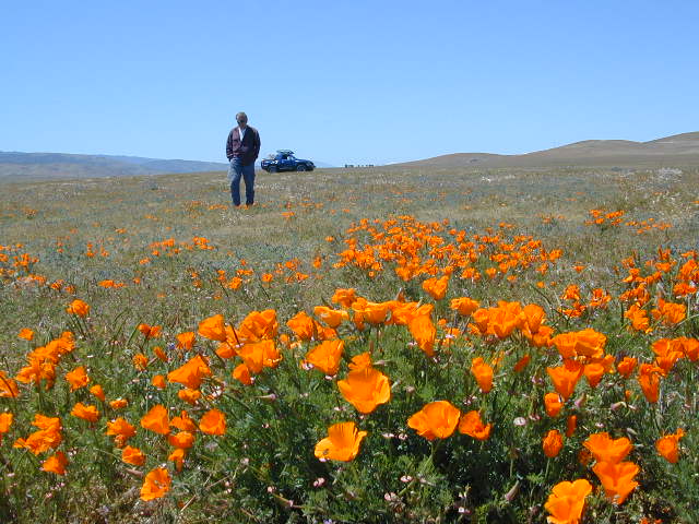
A popular and favorite place for summer camping, fishing and hiking. Backpacking, horse trails, high elevation lakes, mountain passes, peaks, wilderness areas. RV campgrounds, tent camping, car camping. Mountain biking in vast canyon, near campgrounds and creek. No bikes in the Wilderness (up and above Rock Creek)
Autumn colors, aspen groves usually best in early October. Snow closure in winter months (Nov-May).
elevation 7072′ @ Tom’s Place, CA (US Hwy 395)
elevation 9682′ @ Rock Creek Lake
elevation 10,272′ @ Trailhead Parking (end of road)
UP, UP, HIGHER & AROUND LAKE
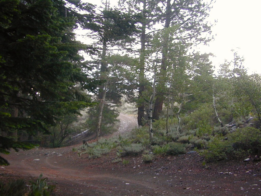
One lane, paved route gets narrow, but keeps on climbing. Road #6S05 continues up – past Rock Creek Lake and ends at hiking trailheads, paved parking lot and a few picnic spots.

12 NFS Campgrounds in this region, starting with one at the highway, several along the way and the campgrounds at Rock Creek Lake.
No campfires are allowed in this canyon – outside of a developed campground. Not much in the way of primitive car camping options either, except for strapping on a backpack and heading into high elevation wilderness.

Rock Creek Lake
Rock Creek Campgrounds
Inyo National Forest
John Muir Wilderness
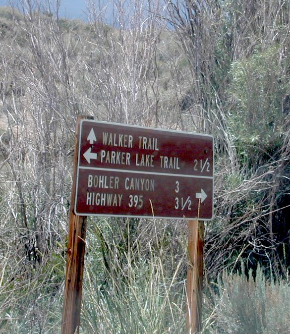
Trailheads along Rock Creek Road #4S12
- Upper Hilton Lakes
- Tamarack
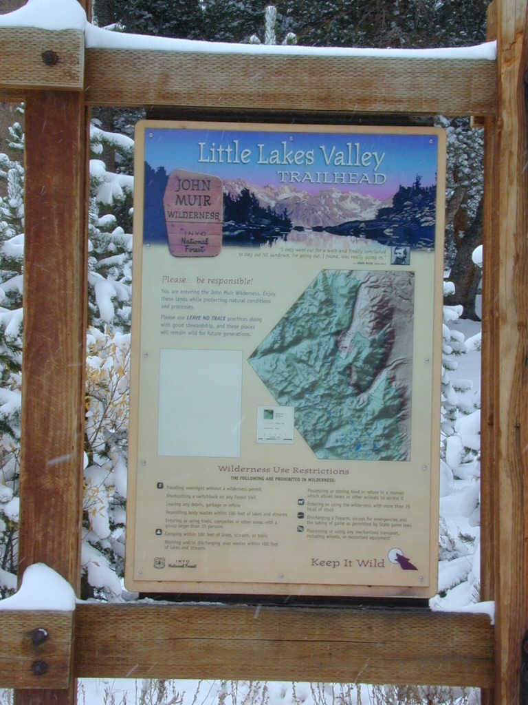
- Lakes Valley (Little Lakes)
- JMT – John Muir Trail
Rock Creek NFS Hiking Trailheads (download PDF)
Eastern Sierra Maps:
Inyo National Forest Map USDA
John Muir Wilderness Maps
Mammoth Lakes Map by NatGeo
Mono Divide High Country Map
looking for another place called ROCK CREEK in California? (we are working on that)


 The north coast of California is dubbed the Redwood Empire, and driving north on US Hwy 101 passing the well-known wine country and communities near Clear Lake, means you’ve entered the official redwood region of Cali.