

Road #28E201 – Inyo National Forest
also known as Inyo Road #4S86
Laurel Lakes Road
Inyo National Forest
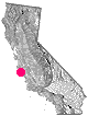
Eastern Sierra, California
Southeast of Mammoth Lakes, CA
West of Crowley Lake, CA
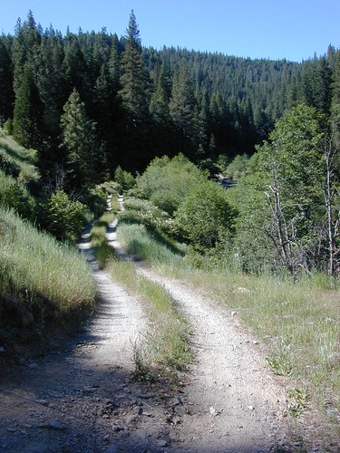
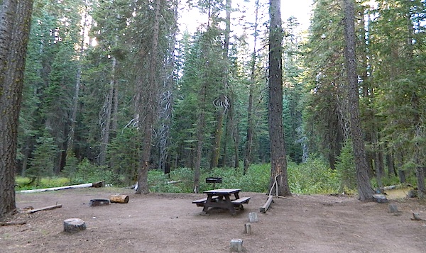
Steep, rocky, gravel road, way up above (and behind) Convict Lake. 4WD may be needed during wet or snowy weather. High clearance is always advised. Locked GATE at the bottom means the NFS rangers have closed the route (seasonally) for deep snow, rock slides, avalanches, or other erosion hazards.
Laurel Canyon, US Hwy 395
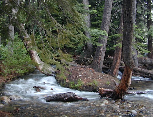
Laurel Creek
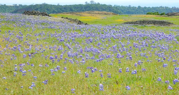
Laurel Lakes

- backpacking
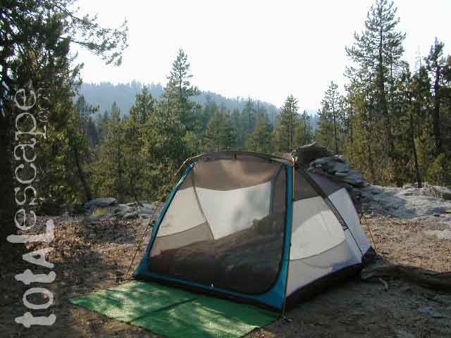
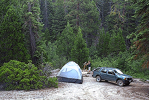
- camping
- fishing
- hiking
- horseback
- lakes
- mountaineering

Trailhead to Lake Genevieve (pictured above), hike lake loop, snowy peaks.
NOTE: No easy access to the PCT (Pacific Crest Trail)
Laurel Mountain (elev 11,818′)
Bloody Mtn. (12,544′)


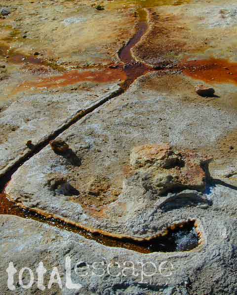
Geologic:
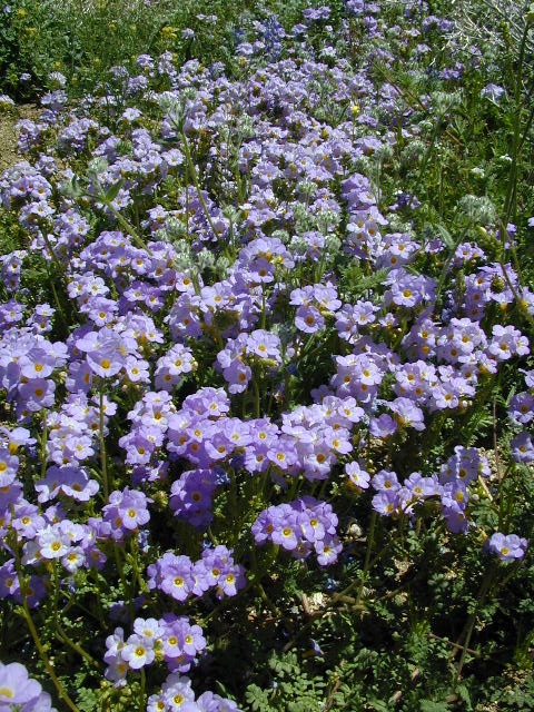
Oldest, exposed rock in the Sierra Nevada mountains range. Buckling granite w/ volcanic rocks. Evidence of glacial activity including, terminal, lateral, and recessional moraines, glacial striations and polish, erratic boulders, and of course the numerous lakes. see more

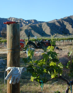 North of Ojai,
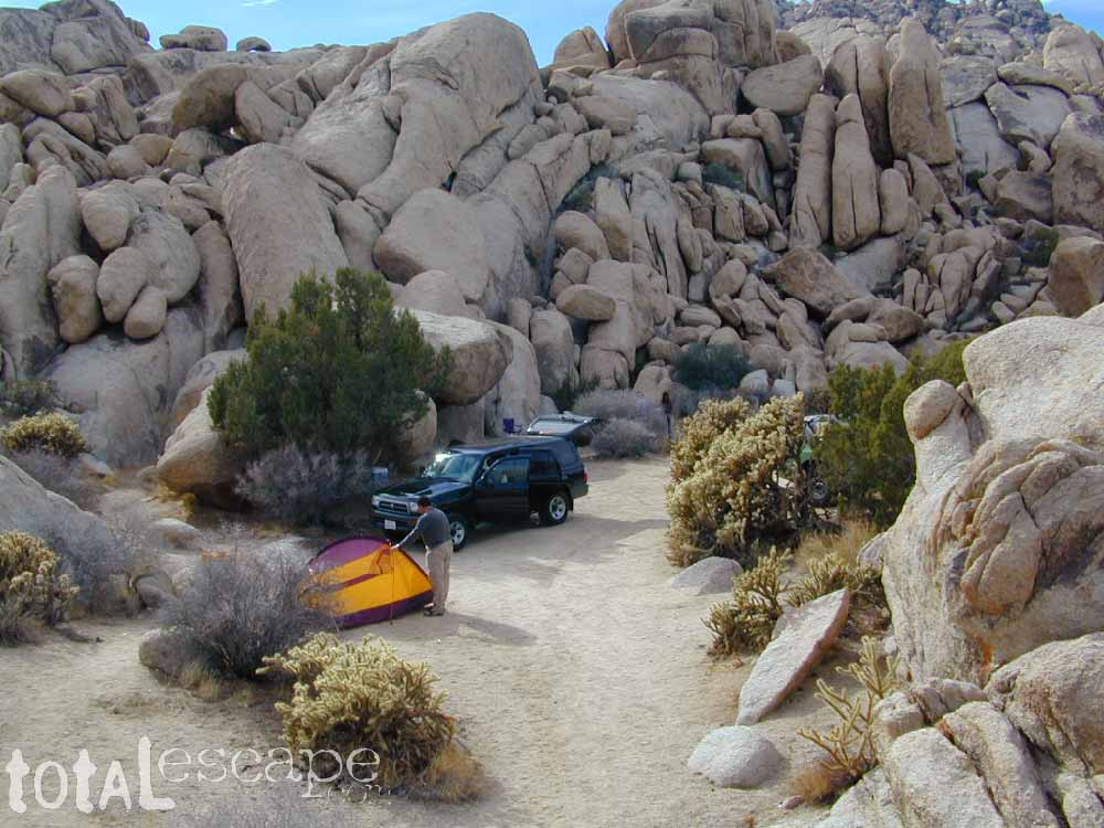
 If you are the “I don’t care where I sleep kinda guy, as long as I can do/see this many things” all crammed into a 3-day holiday weekend, then you best do your research ahead of time. Get a good map, measure the mileage, plan picnic stops and sightseeing. Plan to set camp in a central location close to the main highway to call home-base, so you can be off exploring as much as possible.


 The north coast of California is dubbed the Redwood Empire, and driving north on US Hwy 101 passing the well-known wine country and communities near Clear Lake, means you’ve entered the official redwood region of Cali.


 CAMPGROUND RESERVATIONS
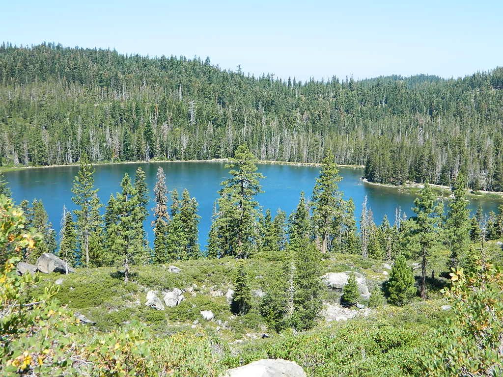


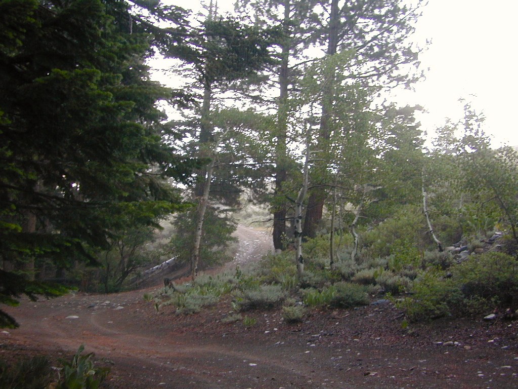
 The infamous Pacific Crest Trail passes close to Long Valley Campground, but


