Mineral King Campground, Sequoia NP
 Sequoia National Park: Cold Springs Campground in Mineral King Area
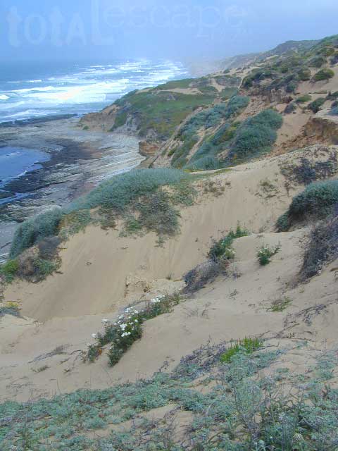
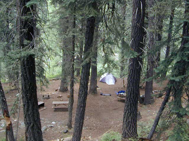
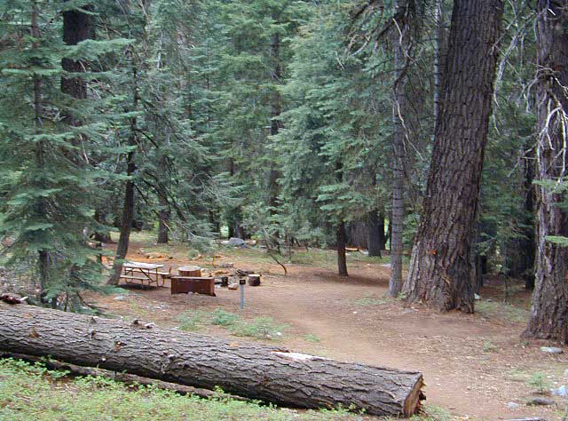
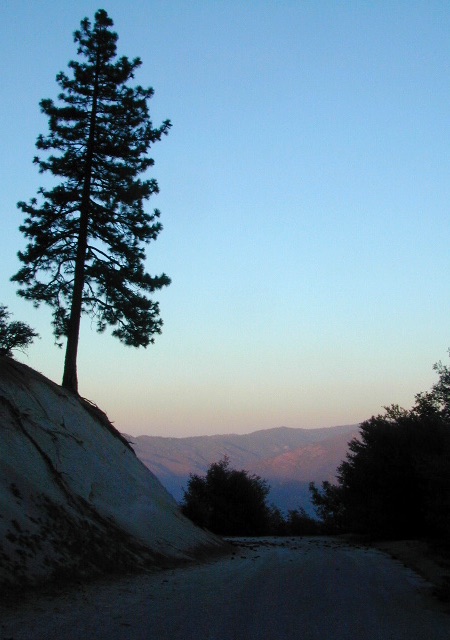
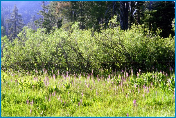
A large developed camp ground with bear lockers, a raging creek, some walk in sites, & access to the Sierra Nevada high country trails. This is the last real campground in the main valley, everything beyond this spot is pure alpine highcountry.
9000′-13,000′ peaks – in the Southern Sierra Nevada mountains. Car camp, tent camping or bring a backpack and climb to pristine lakes and into the real Wilderness.
Cold Springs Campground, California
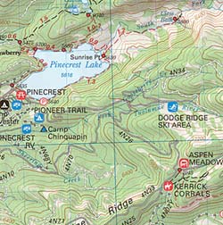
on the East Fork of the Kaweah River, closest campground to the hiker trailheads @ Mineral King Valley. Mineral King Road open May-October (depending on snow)
 Atop the mighty canyon sits mountain passes, peaks and lakes above 10,000′ elevation. A rocky alpine valley of wonder and water, granite, dark skies and a good night sleep. Black bears and hikers are everywhere, anytime.
This sweet spot river campground has more than 25 camp sites, but there is not a lot to choose from way back here on the dead end back road known as Mineral King in California. Just up the road a piece from Silver City. Nearest real town is Three Rivers near Sequoia NP south gate, California State Route 198.
Western Sierra /
Sequoia South Camping –
37 camp sites in Mineral King @ 7500′ elevation
vault toilets, river and piped water, bear boxes
first come, first served camping
Max Camper Length: 0
(RV, motorhomes, camper trailers are not allowed)
Rangers Office: 559-565-3768
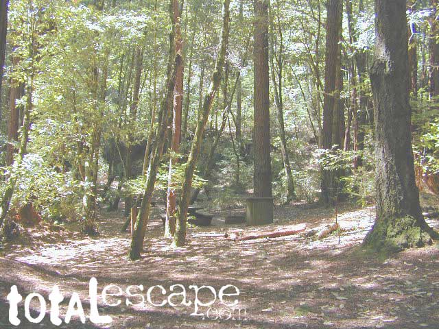
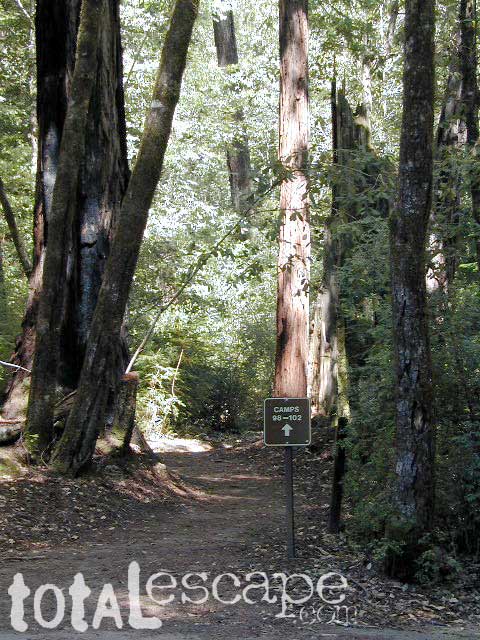
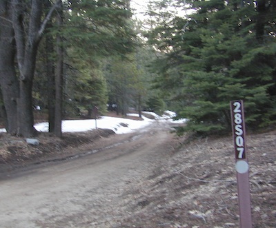
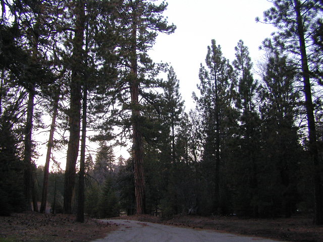
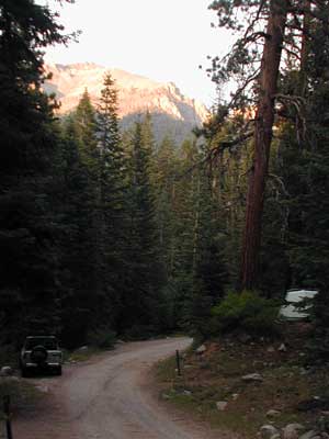
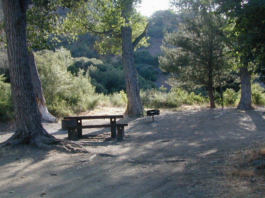
Cold Springs Campground has several campsites right on a river with other sites set up a steep forested hills. There are good number of walk-in camp sites at the end of this campground, ideal for backpackers arriving late at night. The actual walk is more like a hike, so be prepared to carry your stuff a mile down a steep forested trail. You will be rewarded with a great camp spot, near the river, away from the parking lot and noise of the car campers above. Tar Gap hiking trail leads out of Coldsprings campground and straight into the back country.
Coldsprings Camp & Atwell Mill are the only options for local tent camping.
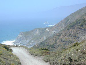
Strapping on a backpack and heading for the high country is what most visitors do, as this is an ideal high country trailhead accessible from the western reaches of the Sierra Nevada range.
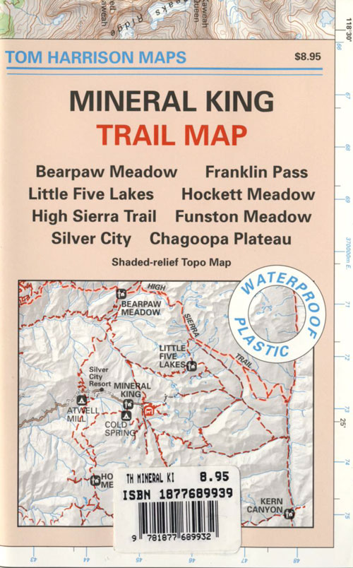
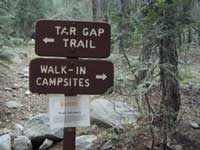 Mineral King trailheads lead out to –
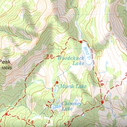
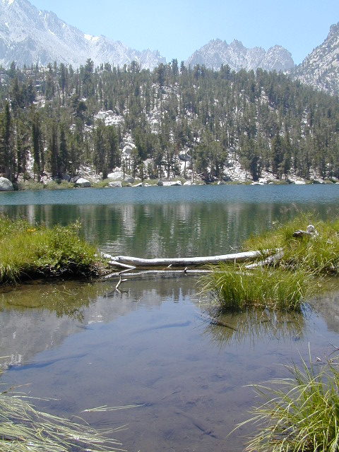
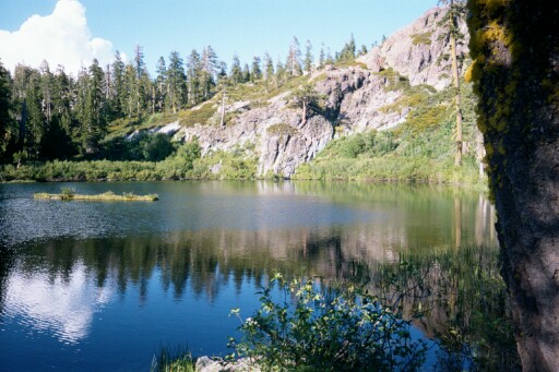
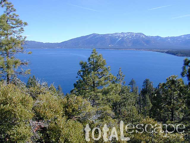
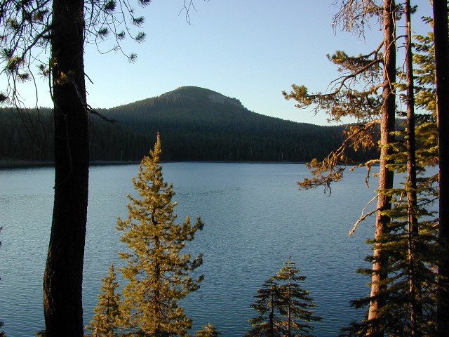
alpine fishing lakes
mountain peaks
Great Western Divide
Kings Kern Divide
Kern Canyon Wilderness
South Sierra Wilderness
Golden Trout Wilderness
Sequoia National Park
Kings Canyon NP
Sequoia National Forest
Mountain Home State Forest
Giant Sequoia National Monument
John Muir Wilderness
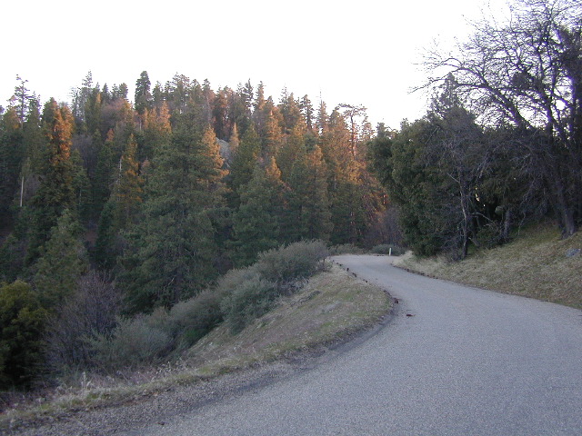
ROAD CONDITIONS:
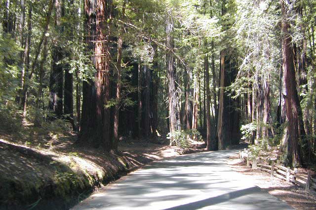
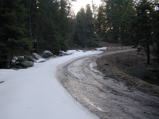
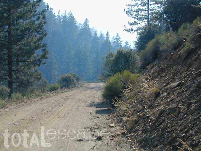
East of Three Rivers, CA on Highway 198 – Mineral King Road peels off to the right, south east to a vast 30 mile long canyon. This mostly paved route closes for winter months when snow is present and rock slides are common. There is a few miles of unpaved, graded 2 lane road, but the majority is paved. Late spring (May) is typically the opening season for this road. RVs, buses, and trailers are not allowed on this narrow, winding road!
 BIG TREES NOTE:
 Although this gorgeous, secluded canyon is located within Sequoia National Park, there are no Sequoia redwood trees in this particular canyon. And you might need to drive an hour up the other mountain to reach them. Just a consideration. If you have your heart set on the seeing the big trees, go do that on another trip. Mineral King is a journey and after your drive that road you will understand a few times.
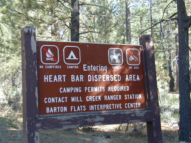
 HIKER PARKING: The NPS rangers station is walking distance from Cold Springs Campground. A beautiful meadow walk to the east of the campground. Bears are known to frequent the area, so locking all food in the provided metal bear lockers is a must.
Badgers are a problem too. Them critters eat radiator hoses – no joke! A good roll of chicken wire could be needed if you plan to leave your car unattended for any length of time.
View Mineral King Camping in a larger map


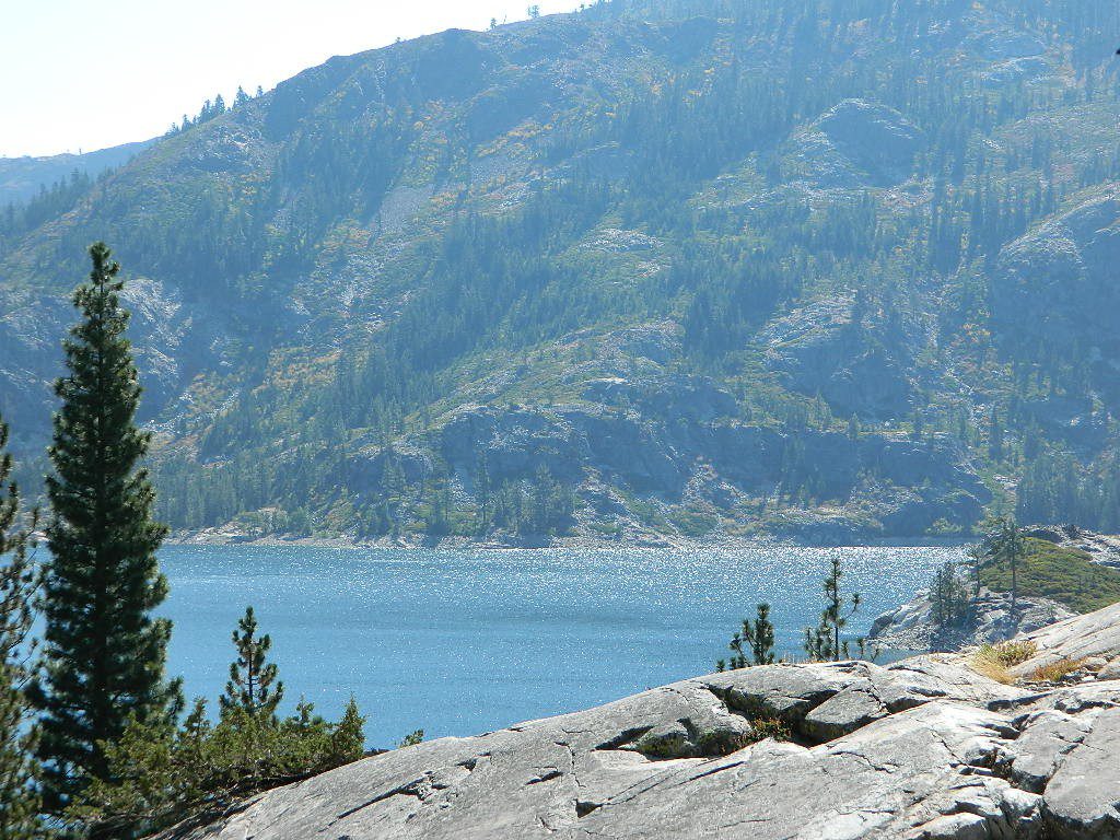
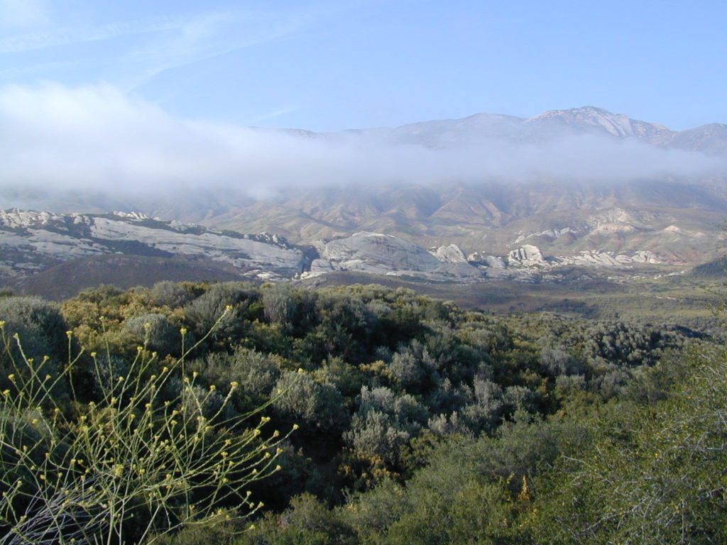
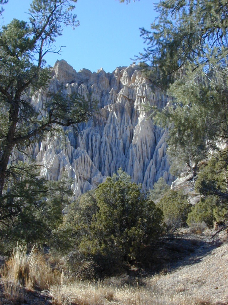
 All the hikes listed here are to super remote alpine lakes w/ granite mountain peaks all around. The Sierra gems are located in the steep, granite, high altitudes, that require hours of strenuous hiking and backcountry skills. These are not paved granny trails by any means. They are the total opposite.


 Grizzly Road, a paved route that leads deeper into the woods and connects over to BEASORE. Back on the main route (Road #81) on the far north end of the loop, a narrow, paved side route connects Clover Meadow Ranger Station and the impressive Granite Creek Campground. Plenty water and hiking trailheads that lead into Ansel Adams Wilderness and Yosemite National Park.


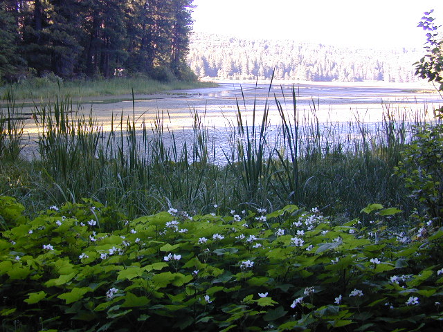


 This hidden gem is a hike-in only lake – and well worth the effort. A somewhat short hike, great ridge line views to the east, although the last half mile of this route is a doozie (moderately strenuous).


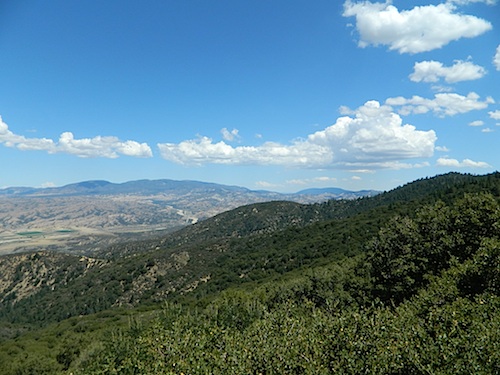


 California Terrain