
Eastern Sierra Hiking Trails – Mammoth Hikes

Desert ghost towns to Sierra meadows & waterfalls, Inyo National Forest offers plenty of diversity for scenery. To list all the hikes in the Eastern Sierra would be obsurd, cuz there are so many trails. This side of the Sierra Nevada is all about hiking, fishing & camping.
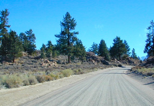
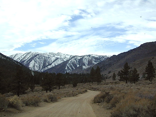
No matter where you hike you will probably get a great view over the Owens Valley, Long Valley Caldera or Mono Lake. So that means most of those trails are hiking up a canyon, or a ridge line. Thousands of trails over this region require a good map to make the best decision for your hiking interest.
US HWY 395: The Eastern Sierra is one of the premier hiking destinations of California. Featuring the granite crags of the HIgh Sierra peaks. Mount Whitney, the tallest peak is closest to Lone Pine. Southern Californians love Eastern Sierra destinations, cuz they can avoid Los Angeles Basin and stay outta traffic.
Lone Pine Lake – Whitney Portal is a great, but crowded place for hiking. DO NOT ATTEMPT to hike to Mount Whitney in one day! Leave it to the seasoned pros. The first good stop up the Whitney Trail is gorgeous Lone Pine Lake, a great moderate day hike from there.
Alabama Hills – just below Mt. Whitney and has a totally different landscape than the backdrop granite Sierras behind. Try some boulder hopping & explore the dirt roads. Bring your mountain bike too.
Cottonwood Lakes (Pacific Crest Trail) – day hikes to alpine lakes. US 395 @ Lone Pine, W on Whitney Portal Rd. Left on Horseshoe Meadow Rd & continue up 19 mi. to the Horseshoe Meadow campground. Mostly a trail head camp, way, way up there. Open May – November
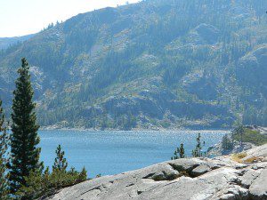
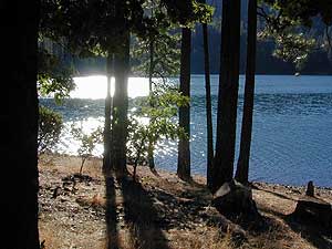
Kearsarge Pass – from 9000′ Onion Valley you can access the incredible High Sierra & numerous alpine lakes. The elevation gain makes this a full days hike; rated strenuous. Or continue on w/ backpack into Kings Canyon National Park.
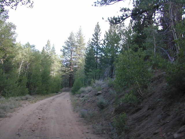
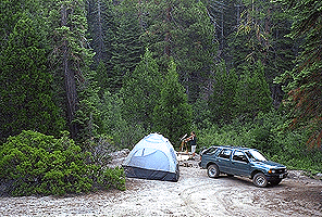
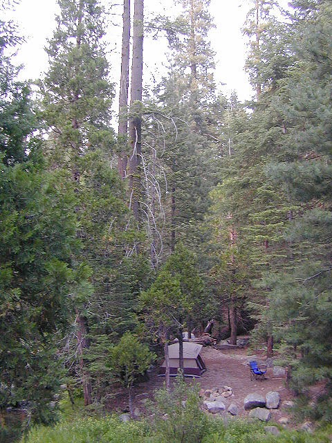
Devils Postpile – back behind Mammoth Mountain, creeks, forest & cool geology awaits. Plenty hiking trails.
FALL COLORS: Autumn is the best time to enjoy the gorgeous aspen groves, as they change colors w/ the onset of winter.

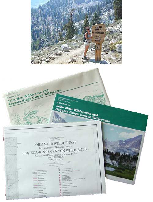
Topo maps, wilderness hiking maps
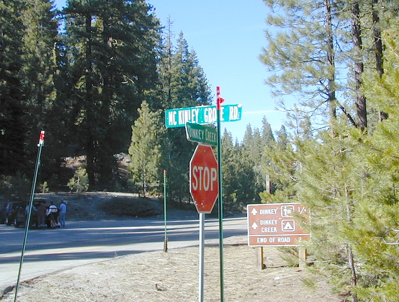
Equestrian trails, OHV maps –
- Inyo National Forest MAP
- Bishop Pass Trail Map
- Devils Postpile Hiking Map
- Hoover Wilderness Map
- John Muir Trail Maps
- Kearsarge Pass Trail Map
- Kings Canyon High Country Map
- Mammoth High Country Map
- Mammoth Map NatGeo
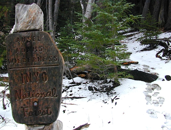
- Ansel Adams Wilderness Map
- Mono Lake Map
- Hoover Wilderness Trail Map
- Bodie Hills Map

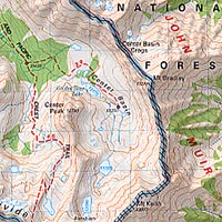
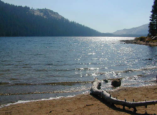
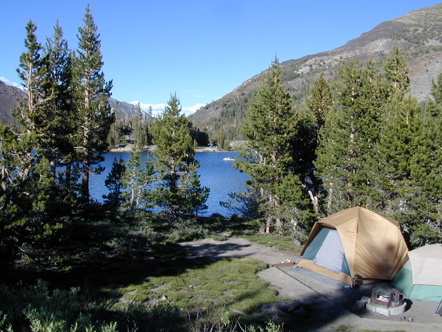
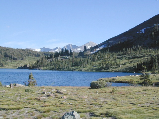
Sierra High Country Hikes
Originally uploaded by danamight
Trailhead @ Onion Valley leads up to impressive alpine lakes, Kearsarge Pass & Kings Canyon High Country.
Eastern Sierra communities include:
- LONE PINE CA
- INDEPENDENCE CA
- BIG PINE CA
- BISHOP CA
- TOMS PLACE
- LAKE CROWLEY
- MAMMOTH LAKES
- JUNE LAKE CA
- LEE VINING CA


 If you’ve ever tried to travel across the state with a GoogleMap, YahooMap or MapQuest one page printout, you will soon realize the limitations. Stuck in a small town called Julian, at night, on Christmas Eve, arguing with your partner, trying to find your way over to Interstate 10. Not a good plan! A


