

Los Angeles Hikes, Angeles National Forest, Angeles Crest, Baldy, Wrightwood, Palmdale, Tujunga, Frazier, and Malibu Coast

You relocated to California for college or your career – and to enjoy the outdoors more, but you ended up in the Los Angeles Basin instead, breathing smog daily. You will need to escape – soon, for sanity sake.

Total Escape – this is your new favorite web site on California outdoors. Bookmark it dude. And be proud to love nature!
- Chumash Wilderness
- Cucamonga Wilderness
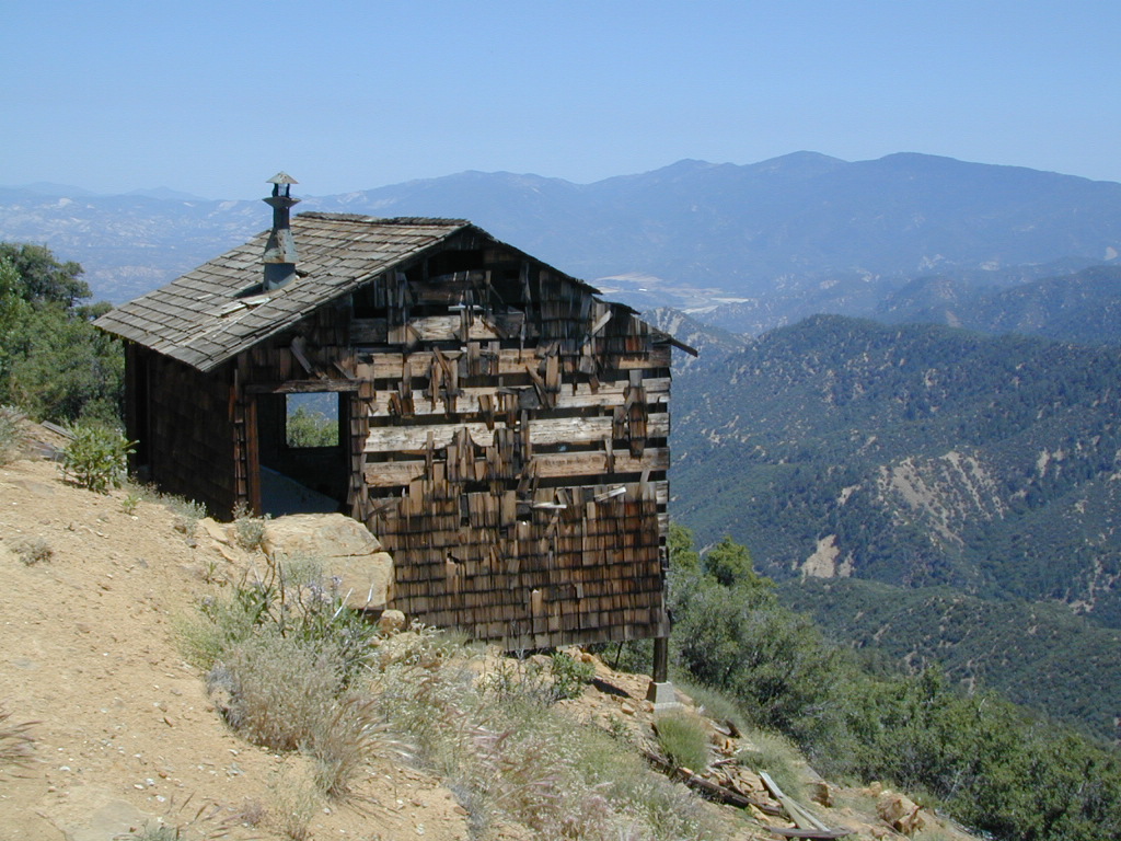
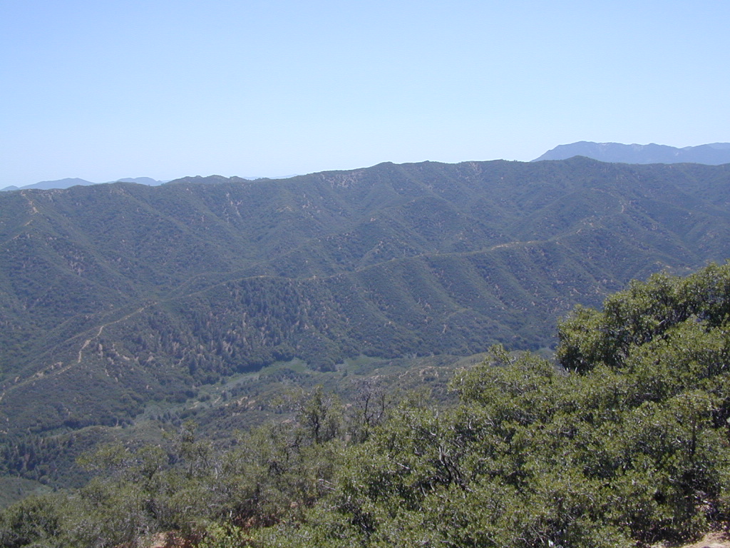
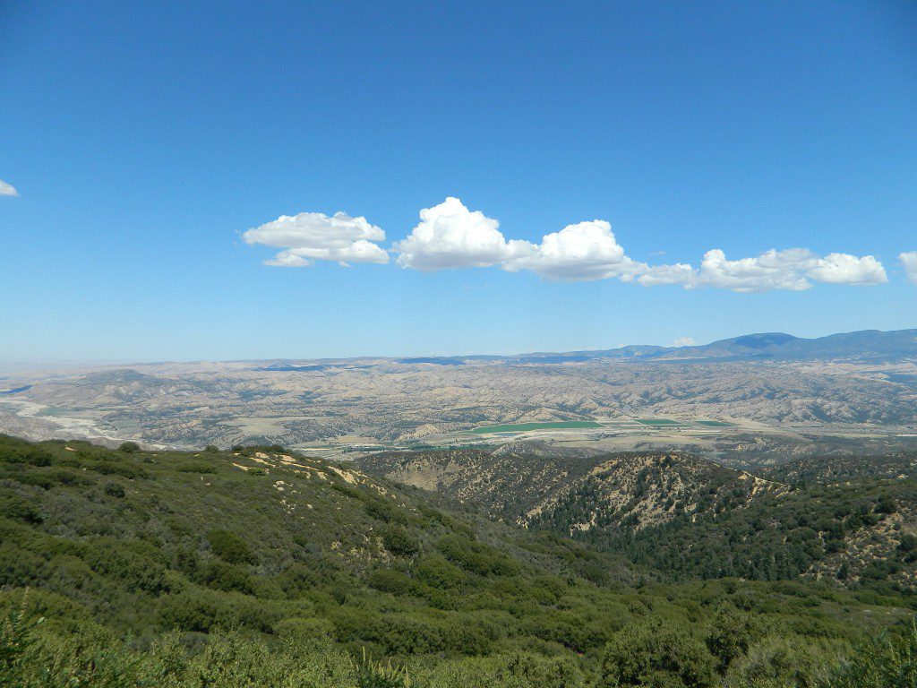
- Dick Smith Wilderness
- Figueroa Mountain
- Forest Falls, Big Bear
- Heartbar Hiking Area
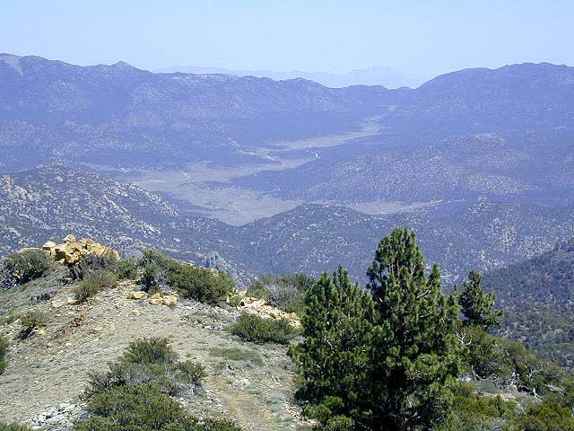
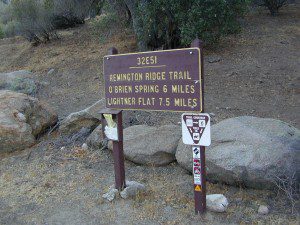
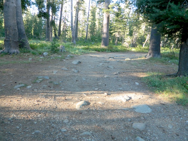
- Hikes in the Angeles National Forest
- Mount Baldy Hikes
- Mount Pinos Recreation Area
- Nobody Hikes in LA
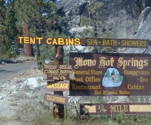
- Ojai Camping & Hiking Areas
- Ojai Valley Land Conservancy
- Palos Verdes Peninsula Land Conservancy
- Pine Mountain CA
- Pioneertown, CA
- Quatal Canyon
- Reyes Peak, Los Padres
- San Gorgonio Wilderness
- San Jacinto Wilderness
- Santa Lucia Wilderness
- Santa Ynez River
- Sespe Wilderness
- Wrightwood CA
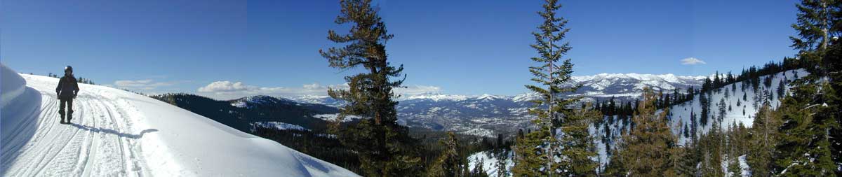
 PCT hikes – Pacific Crest Trail
The world renowned hiking trail that runs the entire length of the entire West Coast US. Canada to Baja, by way of Washington, Oregon and California – all on foot.

More PCT MAPS: Pacific Crest Trail Maps

Los Angeles Hiking Maps

Angeles Front Country
Angeles High Country
Angeles National Forest
Channel Islands Map
Cucamonga Wilderness
Dick Smith Wilderness
Joshua Tree Park Map
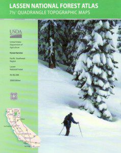
Los Padres National Forest Map
Malibu Creek Map
Mojave Preserve Map
Mount Baldy Map
Mount Wilson Trail Map
Pacific Crest Trail Maps
Point Mugu Map
San Bernardino National Forest Map
San Berdoo Mountains Maps
San Diego Backcountry Map
San Gorgonio Wilderness Map
San Jacinto Wilderness Map
Sespe Wilderness Map
Topanga Trail Map
Verdugo Mountains Trail Map
Zuma / Trancas Canyons Map

And when you finally get bored with hiking only in Southern California, there’s a whole lot more California to explore – up state!
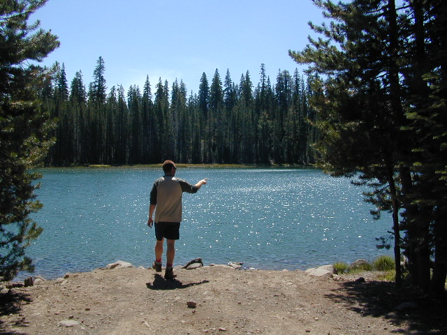
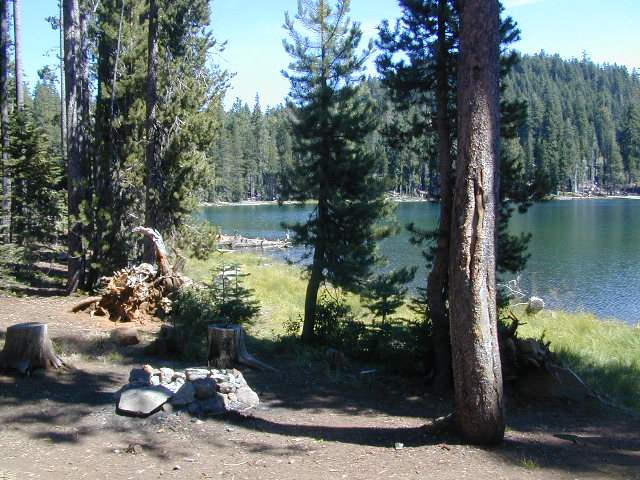
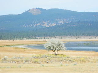
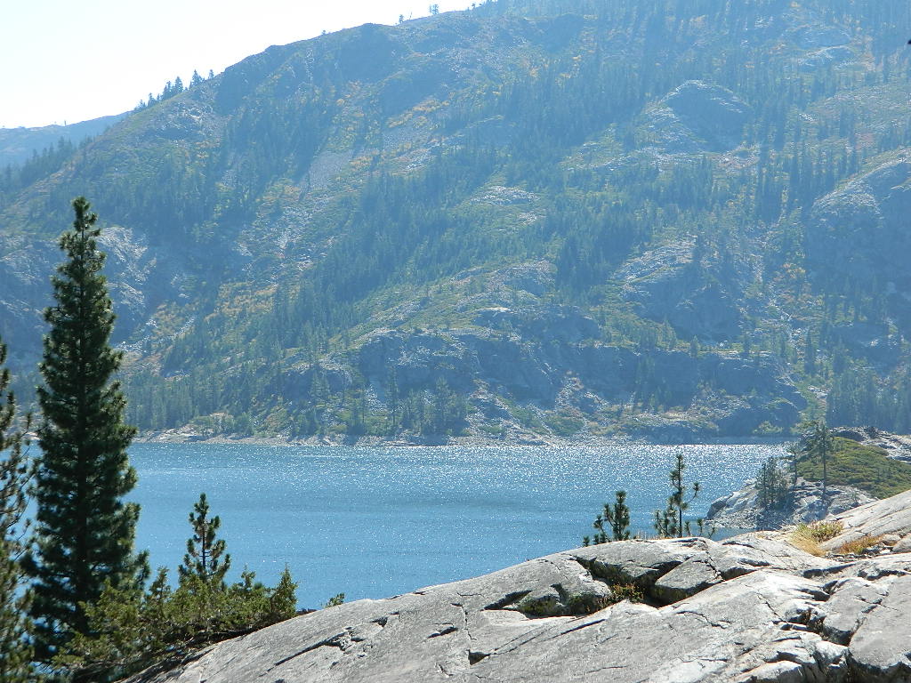
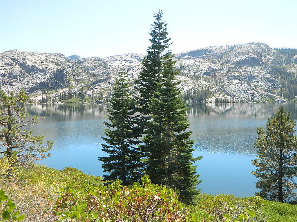
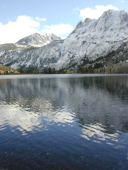
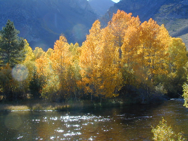
NORCAL – Well beyond San Francisco and Yosemite, there are meadows to be found. Seclusion and tranquility in nature, without the crowds. Too many dirt roads to drive and dozens of rivers to see. Waterfalls abound, with wildflowers and amazing scenery all around. Small towns to discover!
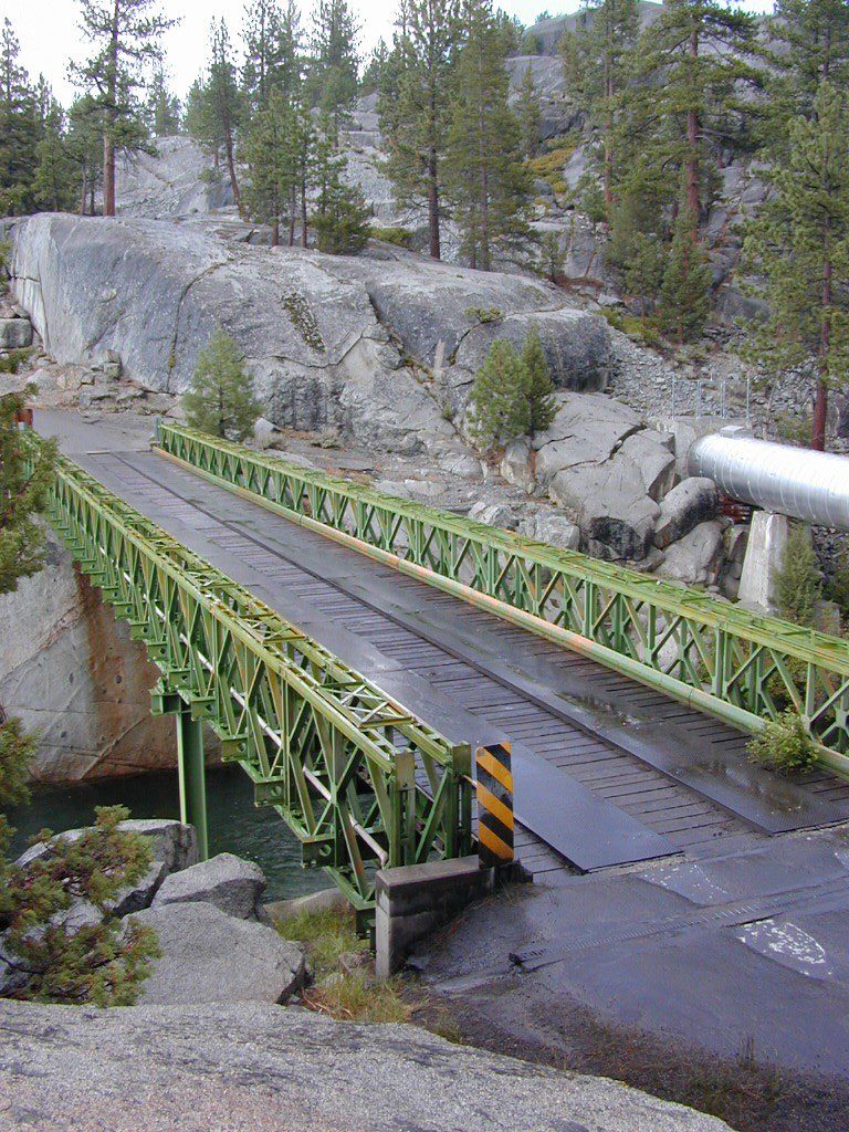
Fly fishing rivers, kayaking lakes, wineries, organic farms, geysers, volcanoes, caves, old bridges and so much more to find in NorCal.
DanaMite loves to cover the real nooks and crannies of California, just for you – right here on Total Escape.


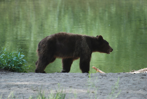
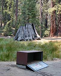
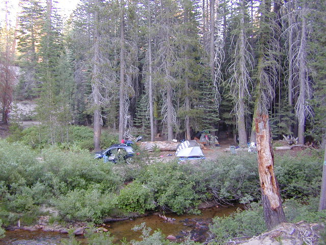
 Although the grizzly bear image graces the state flag, grizzlies were killed off during the gold rush days. Black bears are found in California mountains and foothills, down to lowest elevations in NorCal. California black bears come in more than one color – light brown, cinnamon, dark brown, and of course, black. For the most part, bears usually stay away from people.
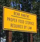 provided by them. Certain California
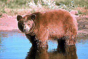


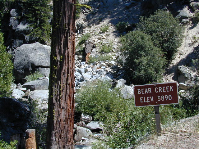


 North of Santa Barbara, CA


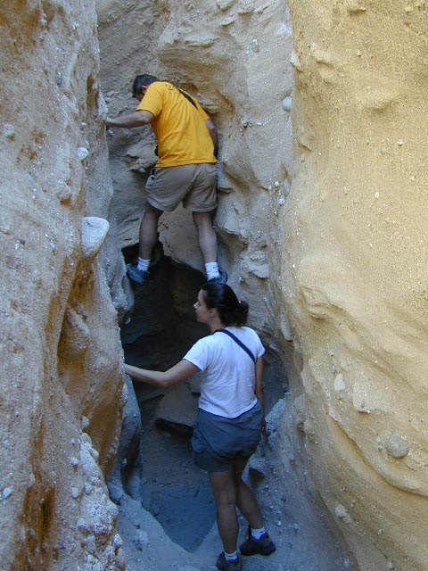
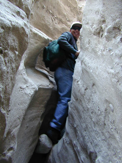
 Desert Slot Canyons – South
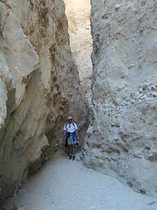


