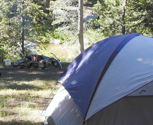
This is one of those silly questions that has no real definitive answer from DanaMite. If you have camped California at all, you know it can be awe inspiring around every corner, especially the Sierra Nevada & the Coastline.
Most California transplants get so wrapped up with city life, college & new careers, that they rarely venture past the county park, much less the county line.
When they finally do break away, they are often misled to crowded campgrounds with steep reservation fees and too many RVs, walking distance to a mini mart. Often they assume camping in California is not what they thought it was going to be. Not like the photos they once saw, not the dream-like places of wildness, not the privacy they had envisioned. They may even give up on the whole ‘camping experience’ all together.
It does not have to be like this. Information is power. This web site Total Escape was made for YOU, the avid Escaper, who desires the best camping options available. One who will respect the land & care; Those that will teach their children to clean up litter & respect our precious public lands.
The California deserts are just as magnificent as the alpine meadows; The mountain peaks, the hot springs, coastal cliffs to the forests, and the river canyons!
It’s all good.
There cannot be one favorite camp spot, when you find yourself camping every month. Each site is a new destination, a place to explore, with usually a reason to return. Each season your favorite spot will change & be more desirable some months over others. From aspen trees changing color in the Eastern Sierra to wildflower meadows of the High Sierra, every place has its own unique flavor.
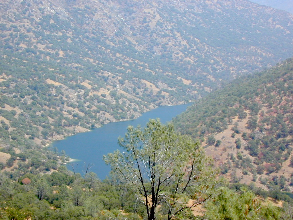
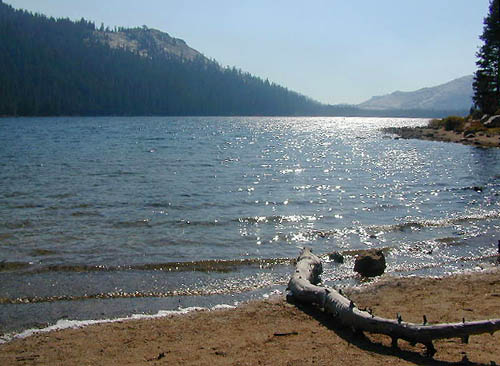
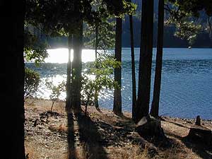
Officially this lake is actually a reservoir, located in the low lands of the Sierra foothills country. Narrow, winding back roads, a way outta the way kinda spot.
a long, narrow lake w/ steep hills, inside a tight canyon
canoe
fishing
hiking
jetski
kayak
waterski
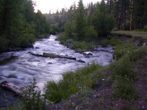
The San Joaquin River flows west, down from the highest granite peaks of the Sierra Nevada and into the Central Valley foothills. If you find your way off the main highway 41, exploring way back behind Bass Lake, CA – then you may consider this scenic loop to Redinger.
off the beaten path
Truthfully, this place is usually an afterthought, sorta near Yosemite National Park. Not exactly a top destination for tourists, but it is very accessible most anytime of the year due to low elevation.
Spring wildflowers can be decent.Summers do get super hot here, so take that into consideration when planning your visit. Due to extreme wildfire danger, no campfires are allowed at any time.
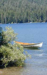
Lake, Reservoir, or a good wide section of the San Joaquin River w/ hydro-electric dam.
elev. 1000′
public boat launch ramp
Camping is restricted to a large open area near the dam. No fee is charged. No campfires are permitted. Services limited, no drinking water or garbage pick-up available. Nearest town 7 miles away.
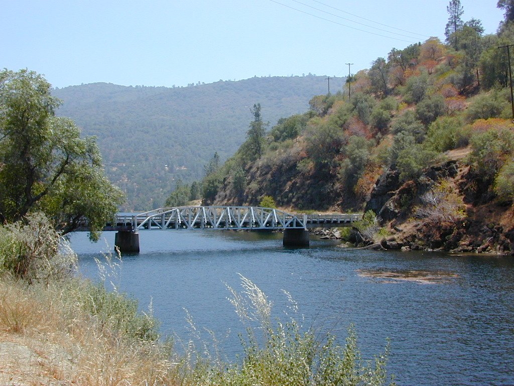
Redinger Lake Road (Rd# 235) can be found south of the town of North Fork, CA. The paved route down is long, steep and winding. At the bridge crossing, the road loops to Joe Basin Road, which connects to the small community of Auberry, CA
Way up river, a dozen plus miles, is the utterly beautiful Mammoth Pool, only accessible half the year.
A few miles down river from Redinger, around the horse shoe bend, another neighboring reservoir called Kerschoff Lake (elev 971′) has a developed campground.
The mysterious topographic map maker, Landon Crumpton, is gone. Although his Baja Almanac book of the Mexican peninsula is still as popular as ever.
The Total Escape crew has been using this amazing topo map for Baja Mexico since our the very first excursions in 1990. Click below to read more about the famous, hard-to-find Baja Almanac publication.
These are picnic lakes, hiking lakes and camping lakes that are located inside Yosemite National Park or the surrounding areas bordering the granite wonderland.
Mojave Reservoir @ Colorado River: AZ / NV / CA
@ the V, bottom of Nevada state = Arizona – Nevada – California, all merge together
The Colorado River travels through the southwest desert, splitting the Grand Canyon and further south, separating California from Arizona at the southern tip of Nevada. Agriculture lines the big river down to Baja, Sea of Cortez, Mexico.
Up near Las Vegas and down to Searchlight, NV
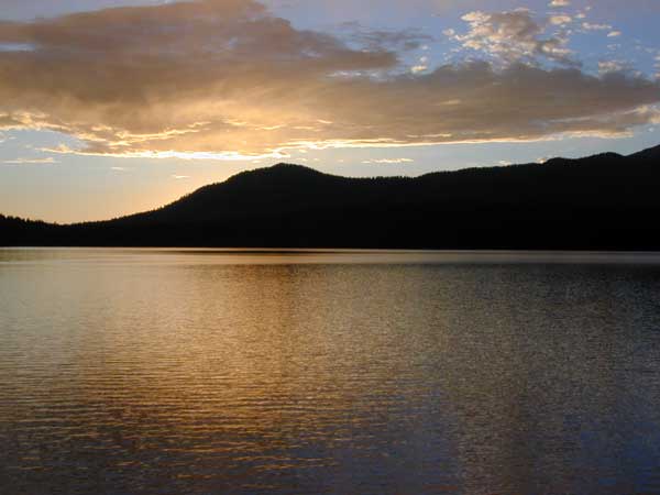
Above Hoover Dam is Lake Mead, sediment from Utah National Parks. Red dirt and silt shorelines. South of Hoover dam is a super deep rock gorge w/ hike-in hot springs. Beyond that, this beauty called Lake Mohave – with the super clear water, secluded coves and abundant fishing.
Lake Mohave: elevation 647′
Desert peaks in this region are around 2000-3000′ elevation. Mohave Lake is actually a wide section of the Colorado River, spanning the region from massive Black Canyon south to busy Laughlin w/ river casinos. This lake is long and skinny in spots with lots of shoreline cliffs, canyons and coves. Minimal vegetation, so please bring your own firewood and don’t chop down the few trees trying to survive. Summer temps exceed 100 degrees, so plan your visit for the winter time.
Lake Mohave Ranger Stations
Cottonwood Cove
Katherine Landing
boating, camping, fishing, hiking, hot springs, kayaking, off-road, picnics, viewpoints
El Dorado Canyon Road, main paved route can be accessed near California’s state border. North of Searchlight, Nevada – off main highway 95, on side route 165 to Nelson, NV
Secluded dirt roads up and down canyons near El Dorado Canyon Rd. Minimal vegetation, maximum open scenery and dark skies. Kayak rentals @ El Dorado Canyon.
desert badlands erosion
Ireteba Peaks Wilderness
4×4 camping routes: 15 day camping limit
Find your own route with many to choose from, drive the soft sandy washes (with a few boulders to dodge) and camp for free, right at the waters edge. Adventurers: Only for the self-contained campers. Some routes marked 4WD only, so pay attention to signs. AWD (all wheel drive) vehicles should fare well on the sandy roads; but standard passenger cars and vans will need to keep their speed up in the soft sand areas.
No garbage collection. Pack it in, pack it out.
No facilities, no fees. No buildings. No campfire rings, no picnic tables, very few vault toilets. Bring your shovel!
Driving off the roads is strictly prohibited. Primitive camp sites can be found both at numerous coves and also inland inside the canyons. The ridges get windy in the deserts, but are favorable for night sky views and self contained camper vans.
Always know the weather forecast, cuz flash floods are possible and these dirt roads will be impassible during big rain. This is the main drainage to the big river!
DRIVING TIPS
Most desert washes here are signed routes 4×4, but mini vans, AWD sport-wagons, trucks, SUVs, small RVs can all be found camping near Lake Mohave. That is – if you know how to ‘drive off road’, which is not fast, but not too slow either.
Avoid getting stuck in the deep sand: keep speed up, do not turn sharply and do not brake hard. Carry tow strap in case you need an emergency pull. Be nice to strangers and you may find help.
Campfires are allowed, but you need to bring firewood. Dogs are allowed. Party animals tend to trash these desert coves, so be warned that there is a fair amount of litter. Bring a black trash bag and take some out! This trash problem could get the area closed off to vehicles so keep that in mind.
The canyons here have giant power lines that cross @ Aztec Wash; they can easily be avoided.
4×4 recommended @ MOHAVE:
Eagle Wash Road #46 – popular spot
Montana Wash #45 – camping ok
Placer Wash #47 – no camping
The rangers don’t wanna be pulling your ass out of the sand, which is why they post the 4×4 signs. Don’t expect to find help without walking a few miles first, or waiting several hours.
desert wilderness
Several wilderness areas are located along the west side of this lake & river. Often dirt roads will parallel a portion of the wilderness boundary, providing excellent access to secluded coves and beaches. Emergency CALL boxes are placed in remote parts of these shores.
Ireteba Peaks Wilderness (northwest, next to El Dorado Canyon)
Nellis Wash Wilderness (western side)
Spirit Mountain Wilderness (southwest)
Bridge Canyon Wilderness (southwest, near Laughlin)
COTTONWOOD COVE
developed campground, boat launch, marina, lodging, hiking, picnic areas
LAUGHLIN, NV
Nevada, California and Arizona states join down in this part of the world. Katherine Landing, full service marina, slip rentals, lodging, city services and casinos.
Mojave Desert – This river-created lake is located on the Colorado River, in between Las Vegas, Nevada and Needles, California. The river water here is crystal clear, very swimmable and the fishing is decent. No paved boat ramps
nearby towns: (with elevation)
Avi Casino
Bullhead City, AZ (540′)
Laughlin, NV (535′)
Kingman, AZ (3340′)
Needles, CA
Nelson, NV (2954′) Nipton, CA (3042′) Oatman, AZ
Searchlight, NV (3470′)
Southern Sierra Nevada
secluded camp, fishing & hiking trails
(free campground, open all year long)
South Fork of Kern River & DomeLand Wilderness
20+ miles from the nearest paved road; a remote camp on Long Valley Loop Road, off Canebrake Road. Both are dirt roads: high clearance vehicle recommended!
High Desert meets the Sierra Mountains
Back in the dry pinyon hills east of Kernville, beyond Sherman’s Pass; high above the Mojave desert and north of Canebrake & Highway 178. Long dirt roads, remote campground w/ fishing & hiking trails. Wilderness access.
These dirt back roads listed above skirt the edge of Dome Land Wilderness & Sequoia National Forest winding through BLM Land bordering the Mojave. The byway networks recreation areas between Kennedy Meadows and Canebrake, east of Lake Isabella. Eastern Kern County, California.
People come way out here for the seclusion – the peace & the quiet. Mid-week you can have the whole place to yourself. Abundant hiking trails & fishing access. Into the Dome Land Wilderness you will find incredible scenery and diverse terrain – giant granite domes, waterfall canyons, and the South Fork of the Kern River (3 mi hike to river). The infamous Pacific Crest Trail passes close to Long Valley Campground, but Chimney Creek Campground is much closer to the PCT.
Long Valley Campground
• Elevation: 5200′
• Number of Sites: 13
• Vehicle Accessibility: High Clearance Vehicle
• Facilities: picnic tables, fire rings, vault toilet
• Campsites Reservation: No
• Camp Fee: None
• Length of Stay: 14 Days
• Season: Open all year
• Operated by: BLM
• Trailheads: S. Fork Kern River & Domeland Wilderness
Recent Domeland Wild Fires:
Manter Fire (2000)
McNally Fire (2002)
Long Valley Loop Road (2001)
2016 NOTE: The part of the LOOP of Long Valley Loop Road that connects this campground to Kennedy Meadows (to the north) is CLOSED due to a huge washout. The Long Valley campground is accessible from the south side, from Hwy 178 @ Canebrake – and requires many miles of dirt road driving. High clearance vehicles are recommended; 4×4 needed in wet weather or snow.
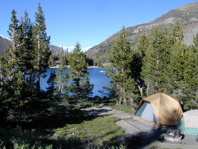
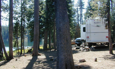
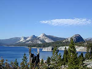
California Sierra Lakes Sierra Lake Destinations Sierra Lake Campgrounds
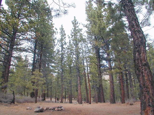
One of the best physical features about California is the amount of lakes and reservoirs it holds – in the mountains, foothills and the canyons, throughout the state.
recreational lakes – Huge, dammed reservoirs to the secluded, alpine lakes in the high country and all the variations in between.
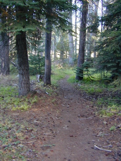
There are literally thousands of lakes located within the Sierra Nevada mountains and it would be ridiculous to try to list them all here. Many of them can only be reached by hiking into Wilderness.
Most California lakes are popular and well known recreation spots, but others are secluded – if you drive far and long enough back on the dirt road. Some do not allow motorized boats and most do allow fishing and swimming. Some have campsites on the waters edge, while other camps are up on a hill over looking the lake.
Below listed are some Sierra lakes that allow camping on the lakeshore or nearby. Most campgrounds are suitable for RVs, tent camping, and some may require 4 wheel drive to reach them.
elevation 5800′ – Canyon Creek connects Lake Faucherie, Sawmill Lake and Bowman Reservoir in the Sierra, Tahoe National Forest. 20+ miles of backroad travel, off I-80.
While many consider Faucherie to be the most beautiful scenic lake, Sawmill Lake just downstream a couple of miles is still quite attractive – with dense forests and a granite mountain backdrop. Sawmill is especially nice for those who like to primitive camp, ouside of developed campgrounds. Way off the interstate @ Hwy 20, tucked in way back behind Bowman Lake a few miles, you can find Sawmill Lake.
Fishing and camping, kayaking and canoeing are all popular recreation around this lake. A trailhead on the northend of the lake leads out to even more alpine lakes (a day hike “lake loop” or backpacking option). The Pacific Crest Trail is also routed nearby.
No motorized boats or watercraft allowed. No boat ramps, no pavement, no picnic tables, no bathrooms, no fees.
4×4 Lake
Fishing Lake
Free Camping Lake
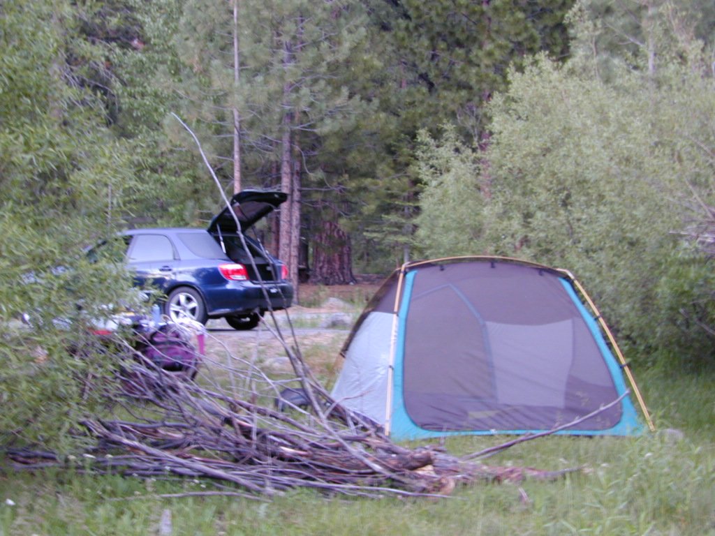
The north shoreline is abundant with dispersed campsites: metal fire rings and a clearing only; no picnic tables, no toilets. Self sufficient campers only. Campfire permits, a water bucket and a shovel are required. During extreme fire restrictions campfires may not be allowed. Check with local rangers for up to date info.
Most campsites are drive up and park, while others closer to the shoreline have only walk-in access. Hauling your gear down hill won’t seem unthinkable once you’ve seen the lakeside views. There is even a camp below the dam, next to the waterfall.
The main access Road #843-037 is very rocky and 4x4s love to frequent the area. The backroads here are best suite for truck travel, high clearance vehicles, off-roaders and SUVs. No small RVs or trailers. Passenger cars are not recommended. The access roads around the lake and up to the lake are dusty and rugged. The road below the dam is quite rough w/ rocks.
The water at Sawmill Lake is crystal clear snowmelt. The lakes around here are managed by Nevada Irrigation District, so this is why there are no engines allowed on the lake. This canyon area closes to public entry during winter months (NOV-APRIL), due to deep snow.
Lake Faucherie is set in spectacular scenery of granite mountains, with peaks and waterfalls all around. Many believe that you could only reach this kinda high elevation beauty by foot, with a backpack, but here it is – accessible by a very long, rough & rocky backroad.
No motorhomes, no camper trailers, no motorboats, no engine noises on the lake, no big families. Just well-deserved solitude, finally. Peace and quiet!
Perfect alpine lake for car-top boaters – those who carry their boats on top of a vehicle. But be warned very few ‘passenger cars’ make it back this far, due to the challenging roads.
No motorized boats or watercraft allowed. One public boat ramp; gravel parking area, vault toilets, gated entry for group campground. No more driving across dam (it is now gated).
Faucherie Lake Road – a spur road, off of the ‘843 Road’ leads up to both Sawmill & Faucherie Lakes, as well as the Canyon Creek Campground.
This primitive road forks off at Jackson Creek Campground, Tahoe NF, way, way back behind Bowman Lake. The rugged route is also known as Nevada County Rd #843-037. Conflicting numbers appear on USDA web site for this route, so don’t get confused.
The brown Forest Service signage is decent at Jackson Creek Campground – so if you get that far, you’re almost there. Sorta. Did I mention how crazy the road is? Any wet weather or snow will make this route “4×4 required”. This place is closed off about half the year, due to deep snow (NOV-MAY). Although on summer weekends, this area is busy for a remote high Sierra lakes region.
To reach this rugged Canyon Creek takes hours of driving with a good backcountry map and a reliable, high clearance rig. AWD Subies and mini SUVs beware, you’ll need a spotter on the bad sections of this road (or risk serious oil pan damage). Or perhaps maybe, we “shouldn’t be back on these kinda roads in that ‘lil sportwagon’ missy.”
Faucherie Lake Group Campground
(25 people maximum per site)
• Elevation: 6135′
• Number of Sites: 2
• Vehicle Access: High Clearance Vehicle, no trailers
• Campsites Reservation: Yes
• Camp Fee: Yes
• Season: June – October
• Trailheads: Faucherie Lake Falls, Five Lakes Basin, French Lake, Haystack Mountain
Faucherie Falls – Six waterfalls above lake:
Upper Faucherie Lake Falls #1: 39.4257 N, 120.5616 W
Upper Faucherie Lake Falls #2: 39.4257 N, 120.5606 W
Upper Faucherie Lake Falls #3: 39.4262 N, 120.5568 W
Upper Faucherie Lake Falls #4: 39.4268 N, 120.5550 W
Upper Faucherie Lake Falls #5: 39.4270 N, 120.5544 W
Upper Faucherie Lake Falls #6: 39.4272 N, 120.5538 W USGS Topo: English Mountain
Wanna camp at a California lake surrounded by pine forest & blue skies? And you want to fish the lake too? Well, you’ve come to the right spot. Total Escape features tons of great California destinations such as these listed below. Small lakes, big reservoirs, alpine favorites, plus some high country, hidden gems.
Multiple developed campgrounds & resort facilities surround these two gorgeous lakes in the Eastern Sierra, next to Bridgeport CA. Hoover Wilderness trail access to the High Sierra & Yosemite too.
Also known as Gold Lake, this Northern Sierra Nevada region features many small secluded lakes to hike to. Campgrounds are located near the lakes, but not on the lake edge. Some of these locations have cabin rentals that are open seasonally. Sierra Buttes is the key granite feature & attraction. Frazier Falls is also close by.
Just north of Mammoth Lakes, the June Lake area is one of the best places to fish in the Autumn season. The Eastern Sierra aspens start changing colors in late September. Make your reservations well in advance for cabins or campgrounds.
Known as a huge fishing destination, great boating & plentiful camping resorts, this Northern California lake is situated south of Lassen Peak, near Chester CA. Family vacation favorite.
This is the jewel of the Sierra Nevada mountains, centrally located for anyone to enjoy. A huge alpine lake surrounded by parks & outdoor recreation. Campgrounds book up months in advance, so make your reservations. Or you may end up camping the back roads, Total Escape style!
And a bunch more California Lakes with prime camping & fishing…
Wanna vacation near a lake this season? So does everyone else in California.
“Mountains” & “lakes” are the top camping destinations sought by most web surfers. Be prepared to search for your ultimate lake side camp. Summertime is prime time at all water sources, so make your reservations, or better yet – find a secluded lake all to yourself. (4×4 may be required).
Lakes area recreation & camping sites in California
Kern River Valley is one of the all time favorite Sierra Nevada destinations for SoCal escapees. First, it is the southern most ‘big river’ action for the Sierra range. The drive up from Los Angeles is easy access; only a coupe of hours. California Highway 178 leads from Bakersfield up the mountain to Lake Isabella (exit at 155 for Kernville destinations). The 178 continues east past the rural communities of Onyx, Canebrake, Weldon, and then on to the Northern Mojave desert & US Highway 395
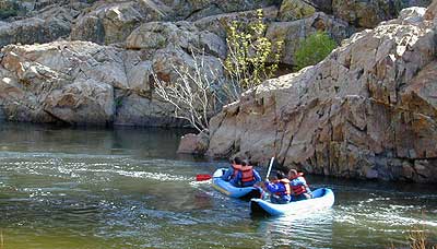
Second, Kern has an abundance of outdoor recreation, from fishing to boating, river rafting to kayaking, backpacking, mountain biking, rock climbing, horseback riding, hiking, camping, & soaking. Kernville is the “recreation headquarters” for the region, where you can find rafting outfitters, camping supplies and rental equipment.
Third, the mountain scenery is very diverse – with the dry shores of Lake Isabella, the granite lined Kern River, or the ridges with towering cedar forests, plenty sugar pines, plus a few Sequoia groves; Tons of dirt back roads to explore, granite & gorges for the rock climbers, prime wilderness access & several primitive hot springs.
The whole area is encompassed by the Sequoia National Forestwith wilderness areas to the North & East. Giant Sequoia National Monument is located along the Western Divide Hwy in the northern portion of the National Forest.
Whether you’re an RVer wanting a developed campground near town, a fisherman needing a primitive site right on the river, or a backpacker seeking the high country, the Kern has a little bit of everything. High elevations beyond 8000′ ridge lines, or the lush Lower Kern under 2000′ with granite boulders lining, Kern has it. 4 wheelers will love the extensive network of dirt back roads, or maybe the OHV areas of Keysville. Lake Isabella has numerous oak lined campgrounds & boat rentals available too. Summer is not the best time to visit as the temperatures soar to 100 degrees & the city crowds come in full force to the Kern Valley. Springtime, the best season to visit runs from March to May, or Autumn cools for September to December.
CA Road Trip / Staycation California / Cheap Vacation California
Staycation: this is the newest media catch phrase for ‘traveling close to home’. Local travel in California. We know it well, cuz Total Escape has been featuring this kinda travel for over 2 decades. Right here on this web site you can find thousands of ideas for weekend getaways, honeymoons, spring breaks & summer vacations.
Spend less money, travel local, stay longer, see more, and really relax. Drive less miles & get to know your own backyard. We have everything from independent lodges in the most remote destinations, to free primitive camping sites on Sierra creeks.
No amusement parks, no casinos. All California, all outside. We feature waterfalls, local hikes, swimming holes, hot springs, fishing creeks, campgrounds, museums, lakes, rivers, wilderness & most all outdoor recreation. Deserts, mountains, country, coast. Beaches to Bristlecones, we have the state covered for local travel.
A good place to start is our extensive A-Z list of all California destinations & small towns.
Hundreds of trails meandering throughout this forest. Granite domes to huge Sequoia trees. Most secluded areas are found in the Eastern Section in the Dome Land Wilderness.
Sequoia National Forest & the Lower Sierra Nevada Mountains extend from the Tehachapi ranges to the Kings River Canyon; from the Great Central Valley to the Mojave desert.
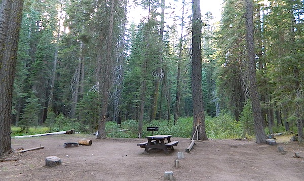
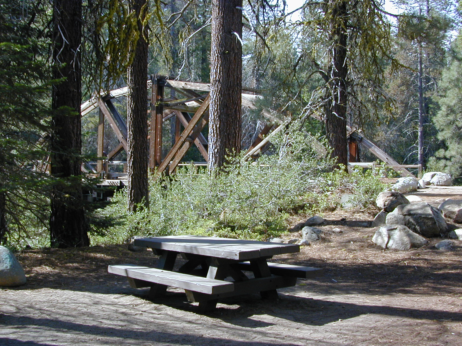
A small developed campground along forested Highway 89, with raging creek, fishing spots, and hiking trails and mountain biking trails nearby. Paved, level camp sites, small RVs okay w/ access to the numerous Sierra Nevada destinations with several lakes and reservoirs nearby.
This is a popular overnight stop “in route” for many campers and bikers traveling further on to the Northern Sierra Nevada mountains. You can exit off Interstate 80 @ Truckee, and be at this camp in minutes. Car camp, tent camping, a few spaces for small motorhomes. Plenty hiking and mountain biking trails.
Cold Creek Campground, California
on the Cold Stream;
Campground open May-October
(depending on snow)
High Sierra / Tahoe Truckee Camping
13 camp sites on Cold Stream @ 5800′ elevation; vault toilets, river and piped water, bear boxes; first come, first served camping
Max Camper Length: 22′
Rangers Office: 530-265-4531
The highway traffic noise makes this place a ‘short and sweet’ one nighter top pick, great for those camping in route to another destination. Another developed camp is on the opposite side of the highway, less than a mile north called Cottonwood Campground.
Free Camping nearby.
If you are seeking primitive camping near this area, start with Little Truckee Summit at the lakes turn off road on SR 89 – about 2 miles south of the Cold Creek Campground.
Take Tahoe Forest Road #5, a major paved road, approximately 12 miles back to the big meadows. Look for the unsigned dirt roads on left side of road nearing Webber Lake. The largest lake in the region, Independence Lake, is a paved side route off to the south. Further back on Road #5 the pavement ends at Jackson Meadows Reservoir. Very rough rocky road out to Bowman Lake w/ several developed campgrounds in the vicinity.
Tahoe trailheads lead out to –
alpine fishing lakes
mountain peaks
Treasure Mountain 7085′ Tahoe National Forest
OHV Area @ Prosser Reservoir
Tahoe and Truckee are known for their brutal winters and deep snows pack. Call CalTrans ahead of your departure if you are even slightly expecting any kind of precipitation. Truckee – winter road conditions
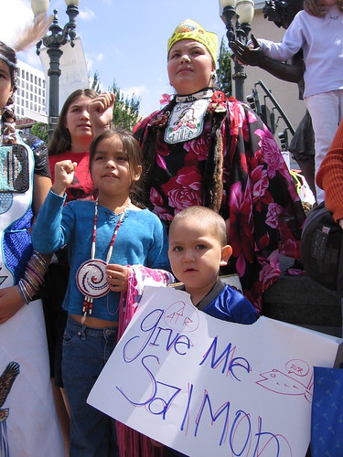
The Yurok Tribe hosts the annual Klamath Salmon Festival. Native American salmon barbeque plus Native American arts and crafts, Indian stick games, warrior contests, parade with Yurok drums and dancers.
Klamath Salmon Festival
Annual event: August
Held @ the Klamath Township,
Hwy 101 S, Klamath CA
707-444-0433 yuroktribe.org
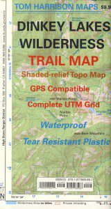
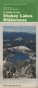
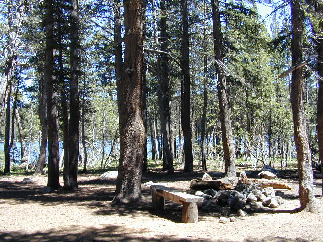
Located in the high elevations between Shaver Lake and Courtright Reservoir is the Dinkey Lakes region. Granite domes and alpine lakes are the key feature of this mid-Sierra forest. John Muir Wilderness is located on the east (right) side of Courtright, while Dinkey Lakes Wilderness is on the opposite west (left) side.
alpine lakes
backpacking
camping
creeks & streams
cross country ski
fishing
granite domes
horseback trails
hiking trails
off-roading
rock climbing
snowmobiling
snowshoe
stargazing
wildflowers
wildlife viewing
4 wheel drive trails serve some of the Wilderness boundaries. Dusy Ershim OHV Trail (pronounced ‘doosey’) crosses the boulder strewn terrain for 30 rugged miles, from Courtright to Kaiser Pass. Road #8S10 is known as ‘Red Lake Road’ and pretty popular among 4x4s and fishermen. This high clearance 4×4 trail accesses both scenic lakes – Red Lake and Coyote Lake, as well as Dinkey Wilderness trailheads.
Trailhead Access:
Access the trailheads on the north side of Dinkey Creek Road, a paved route which connects Shaver Lake to the Sequoia McKinley Grove and then on to Wishon and Courtright. Rock Creek Road #9S10 becomes dirt and leads up to the Dinkey Lakes hiking trails.
Paved Dinkey Creek Road leads out to the Trails End trailhead. Dinkey Creek and main Campground is located at 5840′ elevation and tucked deep in the forest, about 10 miles east of Shaver Lake. Beyond the Sequoia grove is Wishon & Courtright Reservoirs w/ Cliff Lake trailhead. All the other trailheads located at these large lakes lead over to John Muir Wilderness.
The Dinky Creek locale (on most maps) is located at the main Dinky Creek Campground, along Dinky Creek near the historic Dinky bridge on a small, paved, side route north of the main road. Although this summer vacation area is well signed, people can often miss this turn, especially at night.
Two main hiking trail systems can be accessed from the west, via Tamarack Ridge (parking at Hwy 168). Both dirt routes from highway, Road #9S09 and Road #8S10 lead out to Dinkey trails, although one is rugged 4×4 trail, Red Mountain OHV, and the other is a long, graded dirt road.
Kaiser Pass Road to the north side has even more trails leading into Dinkey. Badger Flat and White Bark trailheads are closest points to Huntington Lake, CA. Bolsillo trailhead is way back near Florence Lake, which also has a major trailhead and paved parking.
local rangers:
Sierra National Forest
High Sierra Ranger District
29688 Auberry Rd
Prather, CA 93651
559-855-5355
Up in the mountains behind Chico sits a rugged landscape of deep canyons lined with bizarre rock formations and roaring mountain creeks. Wilderness encompasses lower elevations – ranging from 1500′ – 3500′ – making this outdoor destination a winter haven, when the rest of the backcountry is covered in several feet of snow. One of the most historic wilderness areas in the state, as the aboriginal existence of the Native Americans came to an end in this area.
COHASSET ROAD climbs up the volcanic fin of Cohasset Ridge into the pine forests high above the valley floor. The paved road becomes dirt and the road name changes to Ponderosa Way (Lassen Road# 28N29). The Ishi Wilderness can also be accessed from the north side via Highway 32, near the Tehama State Game Refuge.
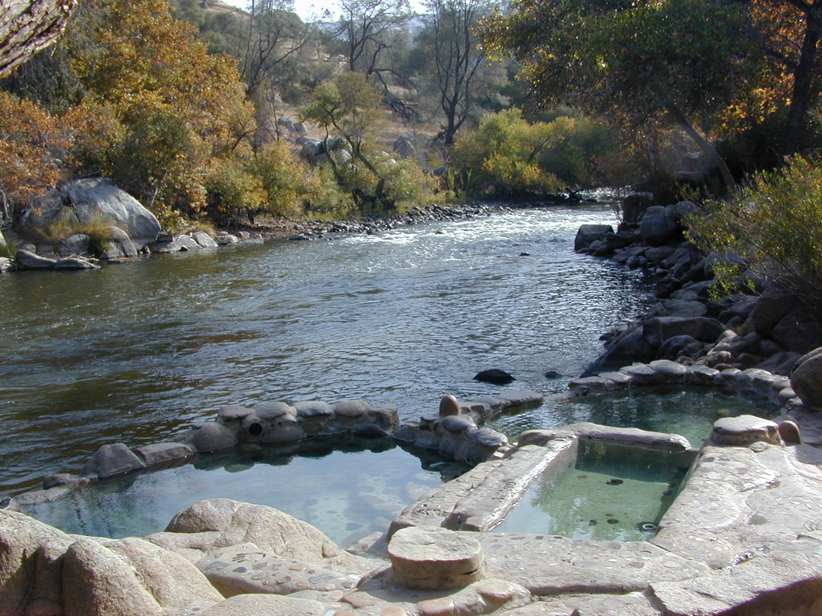
From Lake Isabella down to Bako, along Hwy 178, numerous natural hot springs can be found in this lower Kern river canyon. Old Kern Canyon Road has plenty of primitive spots to camp along the road, way above the Kern River. This Southern Sierra Nevada scenic route, a 20 mi winding narrow paved road, is the old highway that leads up to Bodfish CA.
At least a dozen dispersed camp sites can be found along the Old Kern Cyn Rd, some spots with views over canyon, some hidden & shady, many spots are level & large – suitable for RVs. No facilities, no fees, just a flat, dispersed site. Campfire permits are required for fires outside of developed Campgrounds & fire restrictions are often high, so no fires are allowed much of the year. Most of the gates on the Lower Kern are now locked & only accessible by Forest Service personnel, ranchers or local rafting companies with permits.
2 developed Lower Kern Campgrounds are located on the Old Kern Canyon Road, which parallels the 4 lane portion of the highway: Hobo Campground & Sandy Flat Campgrounds, if you really need a picnic table & bathroom. You can reserve camps by clicking the links.
Miracle Hot Springs – next to Hobo Campground. This hot tub park is closed for good. A few portable bathrooms, picnic tables & trash bins, the hiking trails clear; 2 shallow pools partially filled. Maybe enough room to soak your butt, but not fully submerse yourself. Someone really needs to renovate this place! Update 2012 – the signs for Miracle are now completely gone.
This one is by far the most popular now that Miracle is gone. The hike-in only access doesn’t deter people much and many choose to set camp overnight close by. The local authorities are always making the rounds to double check on the area – which is good for security and bad for the 2 AM party animals.
Democrat Hot Springs
private resort now open? Heck, I dunno. (2017, democrathotsprings.com is down. They might be trying to promote a River Festival held in May.)
The hotel and cottages were constructed to accommodate guests that came in stage coaches to dine and relax during the early 1900’s. Five springs on the property flow at 115 degrees into large soaking tubs and a swimming pool. Closed to the public for more than thirty years, the resort is once again ready to be brought to life for groups and private events only.
The hot springs listed below are Private Property, so don’t get caught – and don’t get shot:
Delonegha Hot Springs
Concrete tubs were built by homesteaders, later a hotel and boarding house were constructed. Stage coaches from the San Joaquin Valley took 2 days to get visitors to this area. The hotel closed in 1912, when more accessible areas of Democrat and Hobo were built. Remaining cement tubs run along a rock peninsula overlooking the Kern River; water temperatures average 112 degrees. This private property is fenced.
Scovern Hot Springs
Also known as the Hot Springs House. 1902 mud baths were being offered and the wooden tubs were replaced by galvanized tubs. A swimming pool and bath houses were added when the Scoverns bought the property in 1929. Bath house burned to the ground in 1971 and only a vacant lot remains. Steam can still be seen in the fields across from the springs, where water runs at 140 gallons a minute @ 115 degrees.


 Lake Mohave Ranger Stations


 The infamous Pacific Crest Trail passes close to Long Valley Campground, but


 Ishi Wilderness Map

