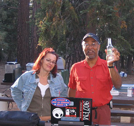
kill your television

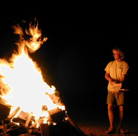
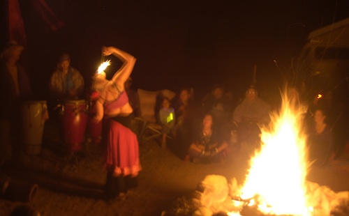
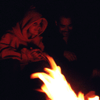
The heat source, the light source, the cook source, the sock drier, the night supplier, the outdoor LIVING ROOM. The campfire is the center stage for all entertainment, dining, drinking, music, true tales and ghost stories alike.
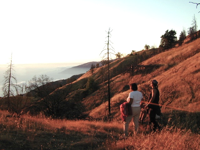
Since the beginning of time humans have gathered around the campfire at dark. This nightly ritual is built into us on the deepest level. We miss this today. We miss the real conversations, the community, the bonding, the stories, the soul searching. We miss the connection with nature, the fresh air and the great outdoors. The night sky filled with stars and maybe a meteor shower, a hot drink and the glow of the campfire coals. Enjoying the wilderness requires certain skills. FIRE is only ONE skill – for survival, for cooking, for warmth, for safety.
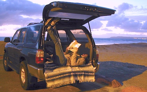
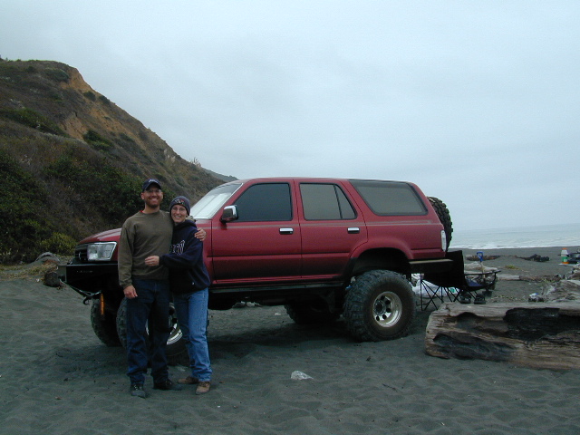
Total Escape is dedicated to those who yearn to camp, often.
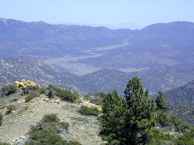
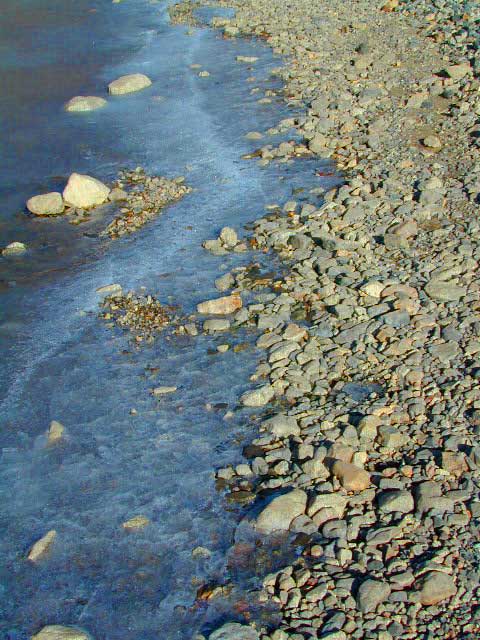
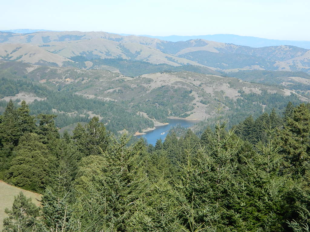
Some folks cannot imagine camping without a campfire, but we better get used to it here on the West Coast. Weather patterns swing from years of super-dry drought to deluge and drenching – as we’ve seen of recent in California. Dry conditions means high wildfire dangers, tight camp stove and strict campfire restrictions.
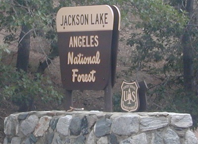
Each California region, National Forests and State Parks have their own fire restrictions, so call ahead to rangers for current fire conditions on the place you wish to visit. Certain mountain locations will ban fires in the back country, fires on the back roads and sometimes in extreme conditions, no fires allowed even inside a developed campground.
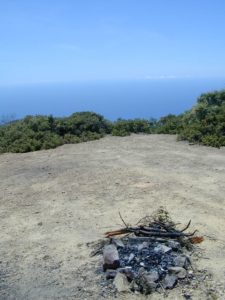
Campfire Restrictions
![]()
California is well known for its unforgiving drought conditions and its seasonal wildfire danger. Always know the fire conditions in the area you plan to camp. Most Southern California regions have banned ‘open campfires’ in forested areas, due to wildfire threat and population density. Call ahead to get an update on road closures and current campfire restrictions. Find California BLM offices & NFS ranger stations
Campfire Permits
If you plan on camping outside of a developed campground, you will need to get a free “camp fire permit”, which can be obtained at the local rangers office.
Find more on FREE camp fire permits

California Camp Fires
- RULE # 1 – Never leave a campfire unattended
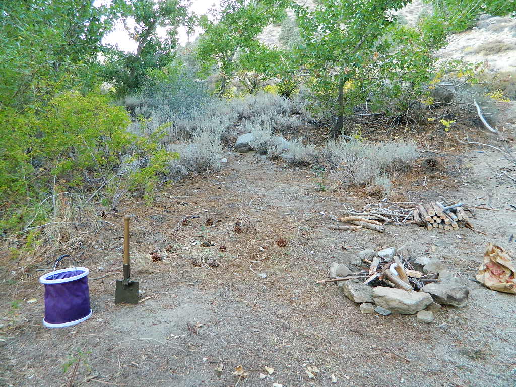
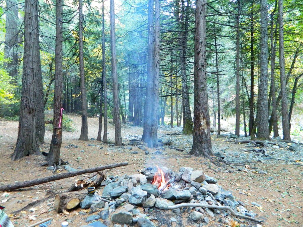
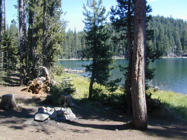
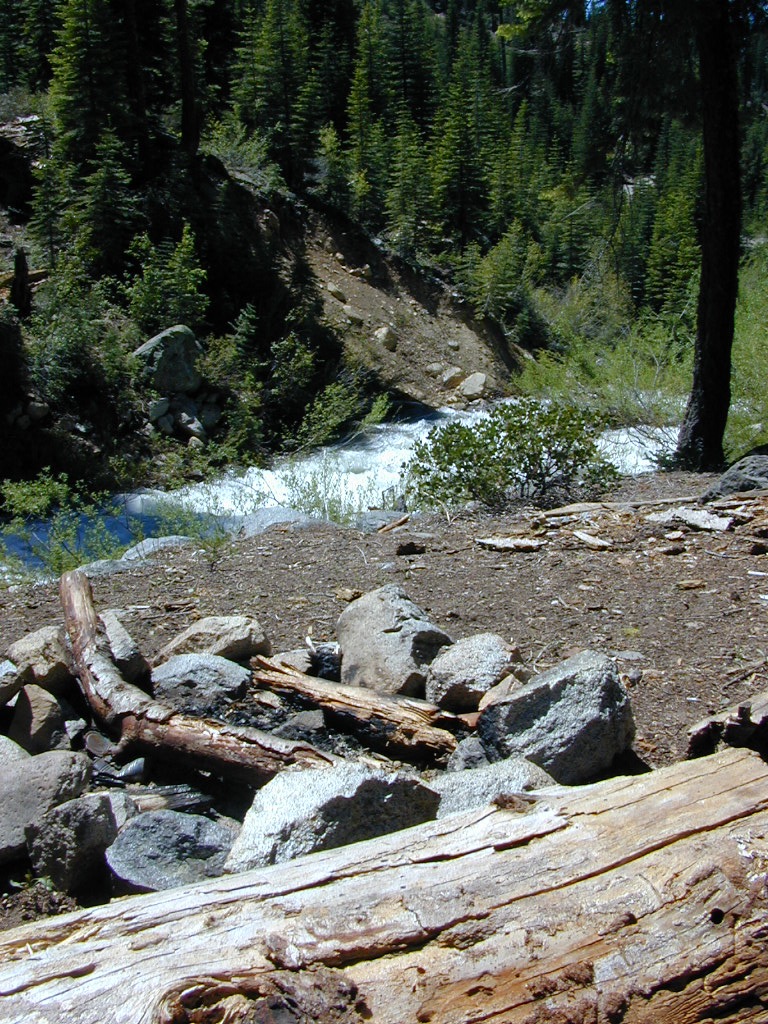
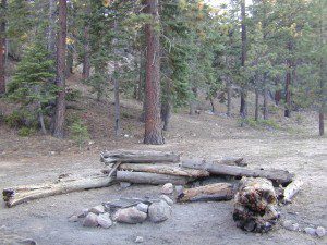
- Build campfires in designated rings. Always try to use an existing ring when possible. If you must build a new rock fire ring, follow the guide on FireSafe
- You will need water source & bucket, plus a decent shovel for building, maintaining and controlling a campfire. BRING enough water & tools with you to control a fire.
- A ten foot clearance – all around, down to the bare dirt is the best practice. No brush close to the ring, no bushes, no leaves or pine needles. No dry over-hanging tree branches.
- You might need to clean trash out of the fire pit, so bring heavy duty trash bags, or a spare old box. Shovel comes in handy here.
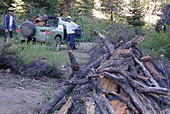
- Kindling is key to getting a good fire going fast, so gather more of the small stuff. Wood gathering away from camp is usually better pickens.
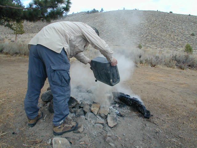
- Use environmentally friendly fire starters (with damp wood, if you must); not the BBQ lighter fluid or gasoline
- Building fires up against a big boulder scars them w/ black soot, and although it can reflect heat back to you, it is seldom worth the unsightly damage
- Bring chainsaws or hand saws for cutting your own campfire wood in the forest
- Gathering wood for fuel — use only dead and down wood
- A ranger issued “wood cutting permit” is required if you plan on cutting a full cord
- Firewood page – buying locally, in California
- Never burn plastics, batteries or other toxic materials in campfires
- Tossing beer bottle caps into a campfire only litters site for future campers
- While glass bottle smelting is a real treat among boys at night, which one is actually gonna get their hands dirty & clean up broken glass out of the campfire the following morning?
- Do not leave any hot coals during the day (if you are away from camp). Winds could pick up.
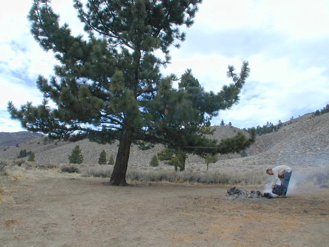
- Always douse campfire with water completely when breaking camp. Stir it, feel for heat, and drown it more if you hear sizzling or see bubbling.
- Read more wild fire / campfire info on our FireSafe page
|
|
|
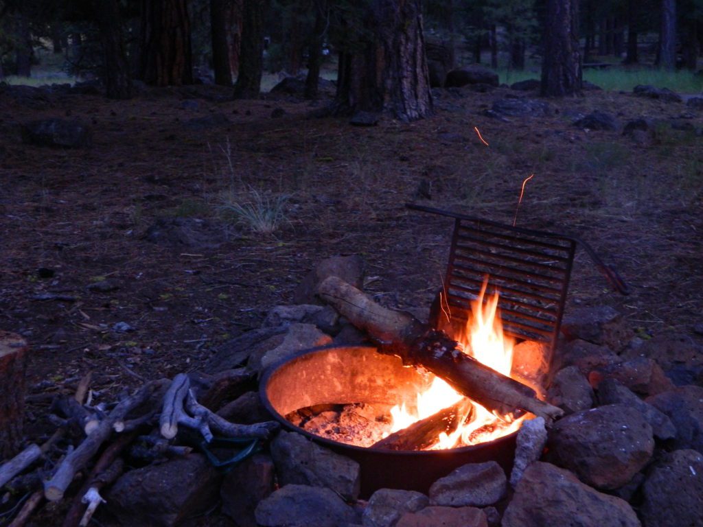
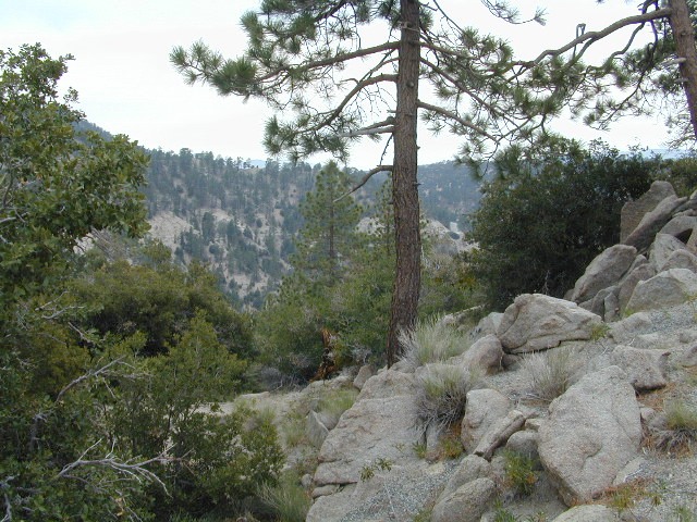
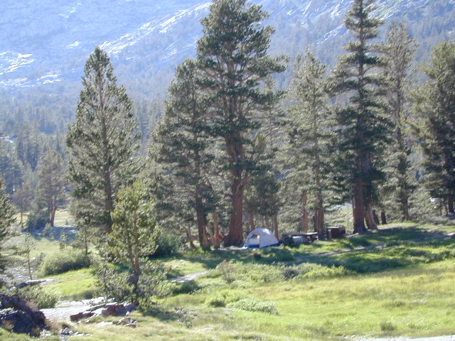
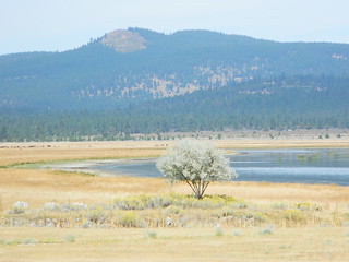
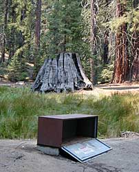
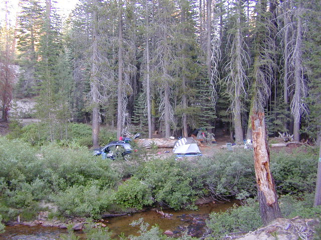
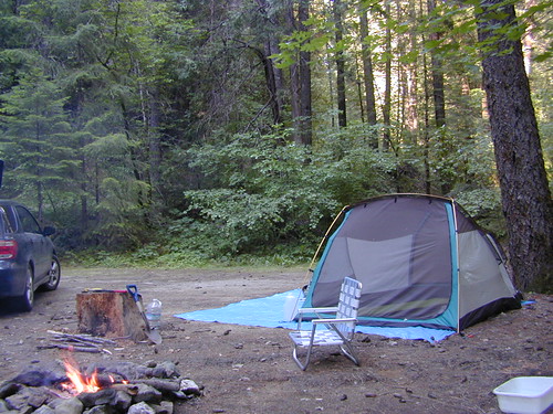
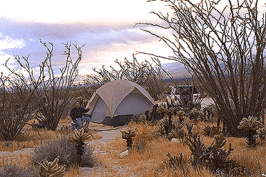
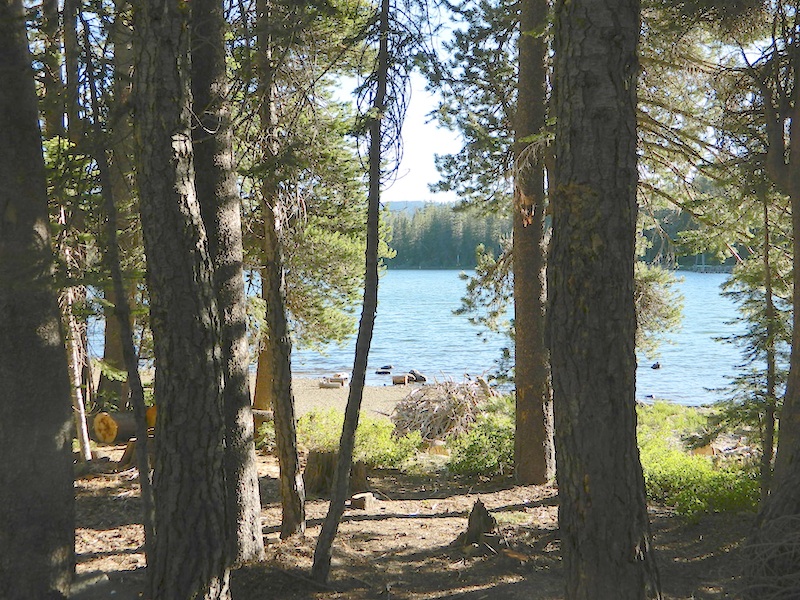
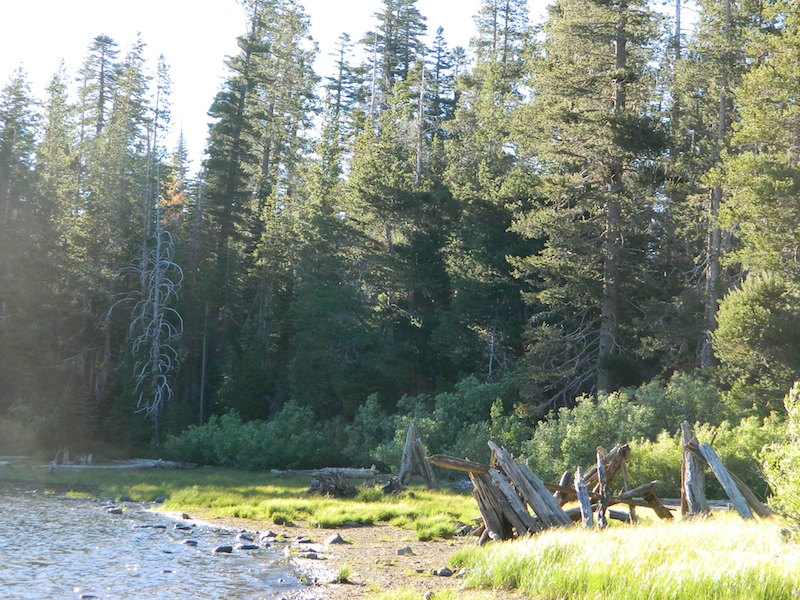
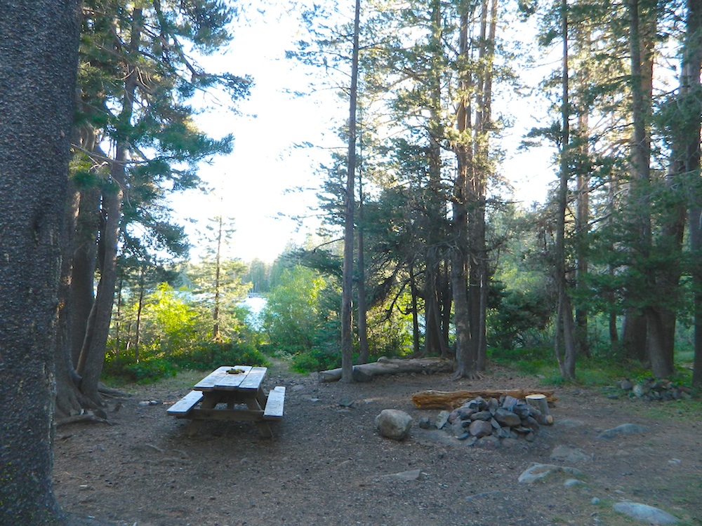
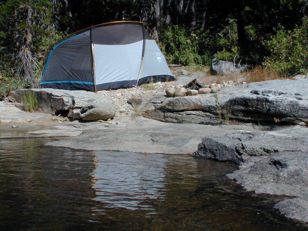
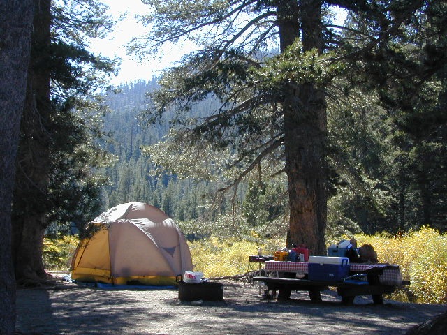
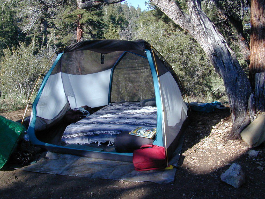
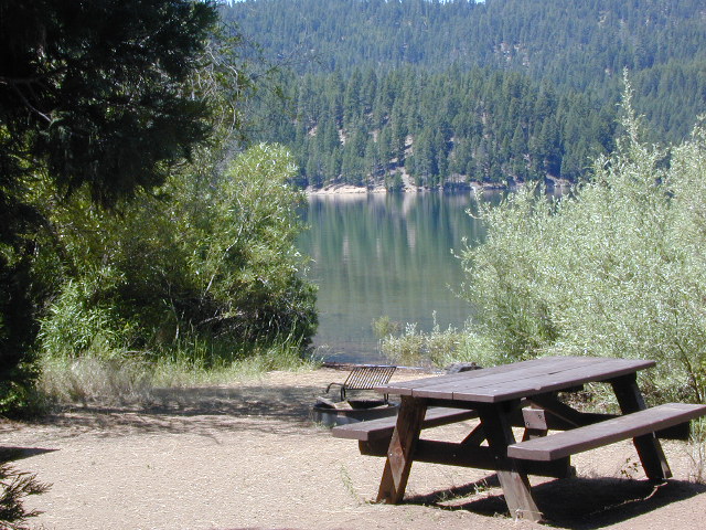
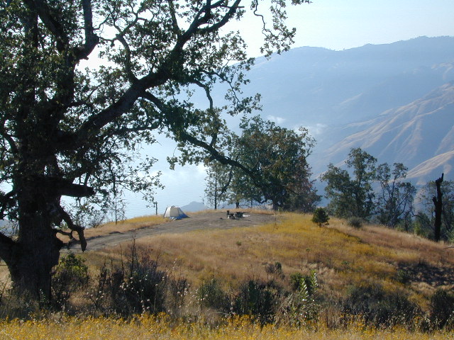
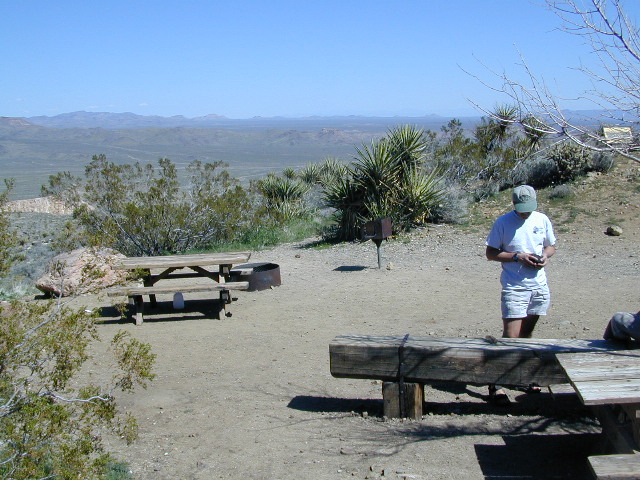
Developed Campgrounds offer sturdy, permanent, metal campfire pits. Many have adjustable grills built in. Primitive Camping is allowed in National Forests throughout California. Campfire permits are required. This style of camping is more peaceful and secluded, without neighbors, without fees and without amenities (no table, no fire ring, no toilet)
-
Camp Cooking
-
Camp Kitchen
-
Campfire Cooking & Cast Iron
-
Cooking Lights
-
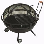
Fire Grills
-
Fire Pits
-
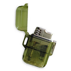
Lighters & Matches
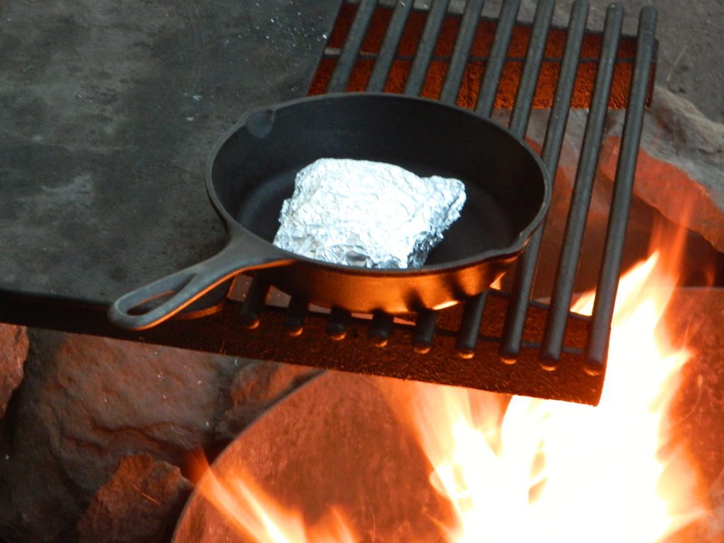
Cast Iron and a Campfire (no fuel cost, no stove needed)


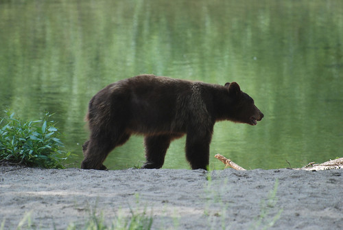
 Although the grizzly bear image graces the state flag, grizzlies were killed off during the gold rush days. Black bears are found in California mountains and foothills, down to lowest elevations in NorCal. California black bears come in more than one color – light brown, cinnamon, dark brown, and of course, black. For the most part, bears usually stay away from people.
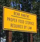 provided by them. Certain California
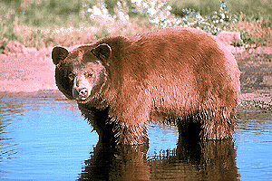


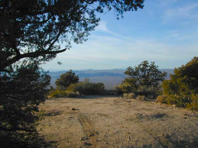
 No developed campgrounds back that way either. No flush toilets, nor paved roads. No flat RV spots; only primitive style camping.


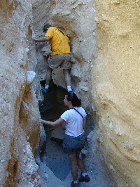
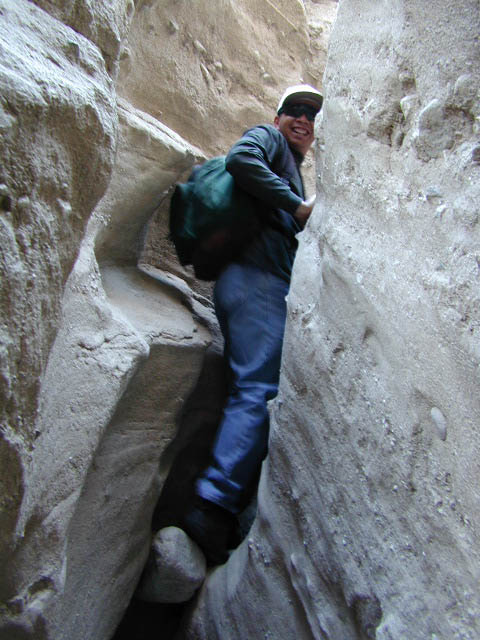
 Desert Slot Canyons – South
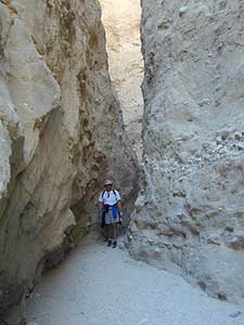


 Mitchell Cavern. Campground is perched on rocky hill overlooking desert.