
Mountains of Northern California / NorCal Mountain
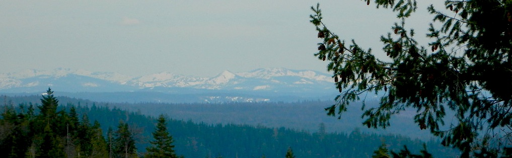
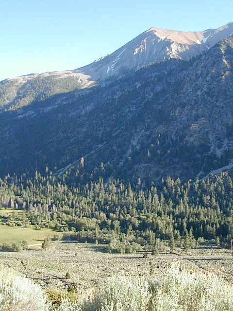
California sure has a lot of mountains. West Coast land is home to the tallest Sierra Nevada range, plus the Cascade range, which extends northwards to Canada. (Many of which have volcanic peaks.)
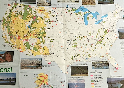
We break down all the mountainous regions in the north part of the state below w/ links, topo maps, lakes, rivers, wilderness, parks and forests. Small towns & cities are linked in red.

North Coast Mountains
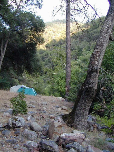
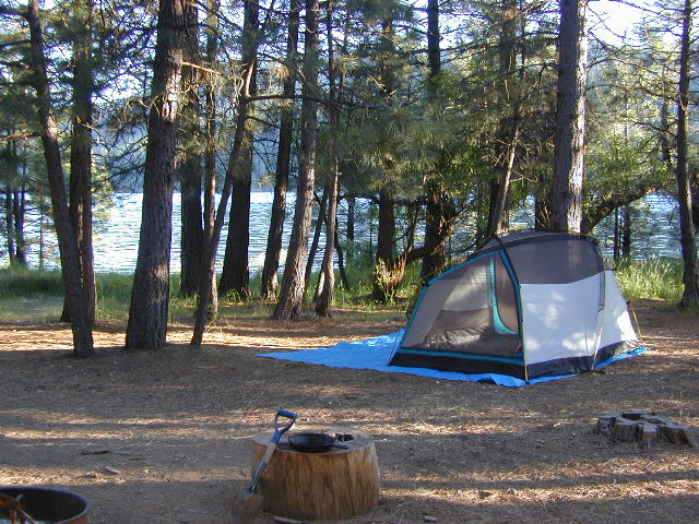
 Redwood forests and rivers are what make up most of the Northwest part of California, just below the Oregon coast. Logging and fishing are the big industries up here. Lumber mill towns and camps still exists today. Wilderness areas, dirt back roads, river kayaking, stream fishing, camping and real wild indians. Oh yeah, and Big Foot!
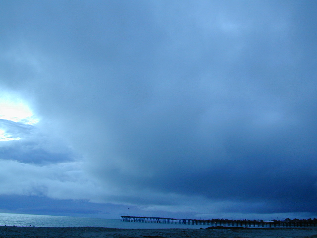
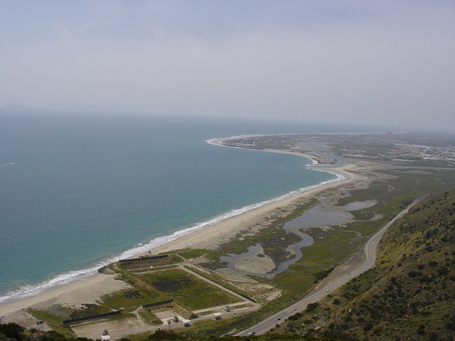
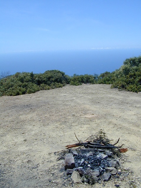
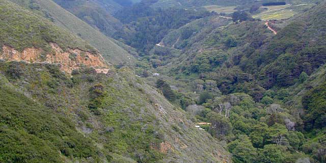
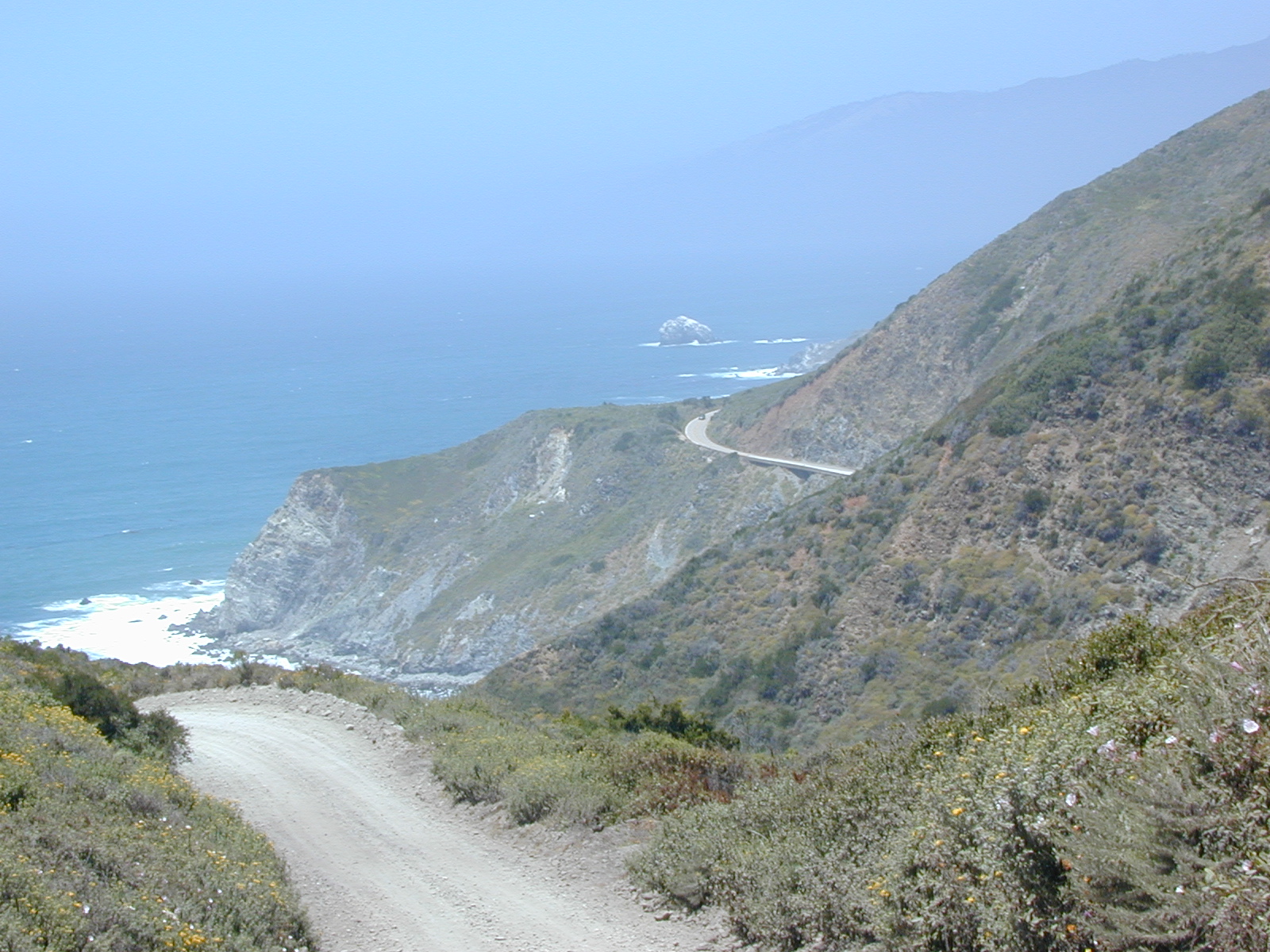
The landscape in more dramatic along the North Coast of California, as the steep rocky terrain tumbles into the sea w/ the San Andreas fault running parallel to the shore. Marine life, rocky shores w/ small towns. Del Norte County & Humboldt County. Wild rainy weather, at least half the year; fog and sun the other half.
- Humboldt Redwoods State Park
- Kings Range / Lost Coast
- Klamath River
- Red Buttes Wilderness Map
- Red Buttes Wilderness
- Redwood National Park
- Redwood Parks Map
- Redwood State Parks (all)
- Sinkyone Wilderness
- Smith River
- Smith River National Recreation Area
- Trinity River
- USAL Beach Campground
California towns near Redwoods & Mountains:
- Arcata, CA
- Crescent City, CA
- Garberville, CA
- Miranda, CA
- Orick, CA
- Petrolia, CA
- Shelter Cove, CA
- Smith River, CA
- Willow Creek, CA

the North State
 The furthest north is Siskiyou County, which borders the state of Oregon. We have the Klamath River flowing south into California, with plenty of mountain peaks, forests and wilderness. Interstate 5, Highway 3 and Highway 96
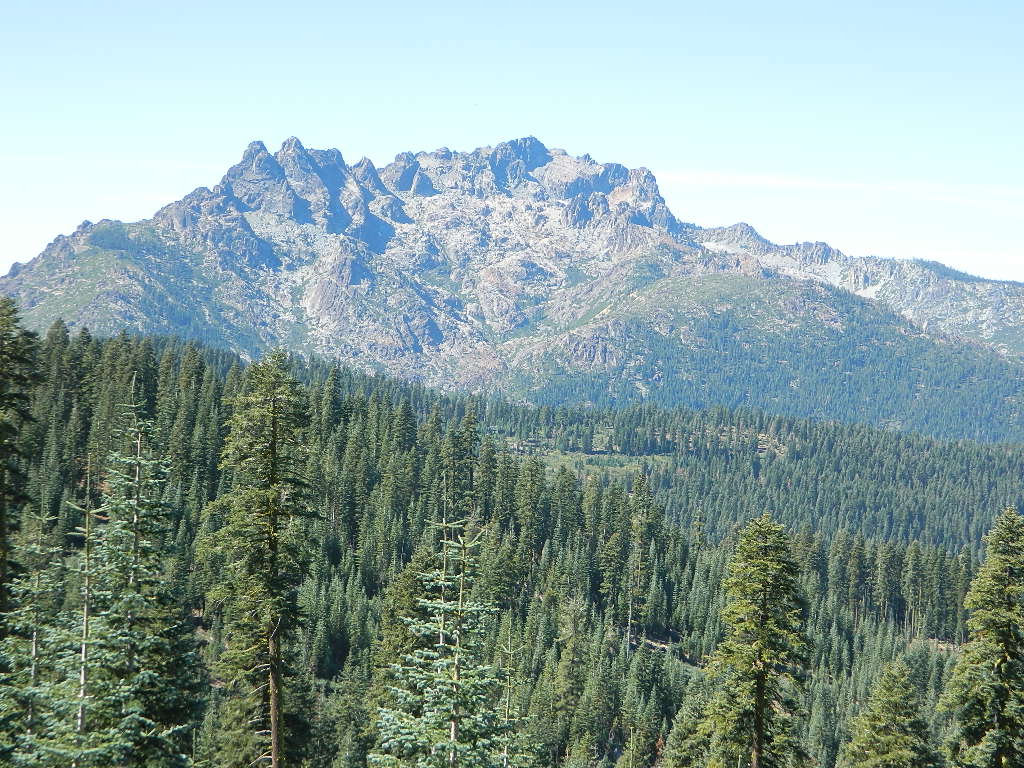
Pacific Crest Trail passes through the area and backpacking is common (all year long). Notable spots – Klamath Knot and The Eddy’s. Prominent Mount Shasta is actually situated inside Siskiyou County, not Shasta.
- Klamath Lakes
- Klamath River
- Klamath National Forest Map
- Marble Mountain Wilderness
- Marble Mountain Wilderness Map
- Mount Shasta
- Russian Wilderness
- Salmon River
- Siskiyou Map
- Smith River Map
California towns near Klamath Mountains:

Shasta Trinity Mountains
Giant Mount Shasta is located inside Siskiyou County, and Shasta County & Trinity is everything located to the south of it. Interstate 5, Highway 3 and Highway 299. Recreational lakes, rivers and streams, and off roading trails.
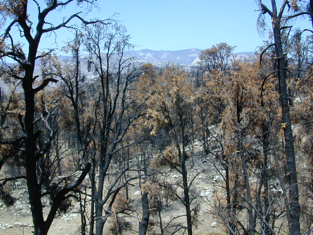
Waterfalls, hot springs, mountain biking and stream fishing can be found within this region. Mining history and museums are primarily situated around Weaverville. Houseboats and boat rentals can be found on the big reservoirs. Whiskeytown was totally toasted in wildfire of 2018. Alpine lakes, granite spires, campgrounds and cavern tours, all located along the Interstate 5 corridor.
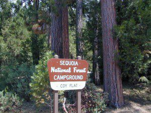
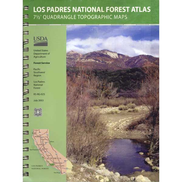
Shasta Trinity National Forest
- Shasta Trinity Map
- Castle Crags State Park
- Castle Crags Wilderness
- Chappie OHV BLM
- Lake Shasta
- McCloud River
- Middle Eel Wilderness Map
- Mount Shasta / Castle Crags Map
- Mount Shasta Wilderness Trail Map
- Pit River
- Shasta State Historic Park
- Lake Shasta Caverns
- Trinity Alps Wilderness
- Trinity Alps Wilderness Map
- Trinity Lake
- Whiskeytown Reservoir
- Yolla Bolly Wilderness
- Yolla Bolly Wilderness Map
California towns near Trinity Alps & Shasta Forest:
- Burney, CA
- Douglas City, CA
- Dunsmuir, CA
- French Gulch, CA
- Lewiston, CA
- McCloud, CA
- Mount Shasta, CA
- Old Shasta
- Redding, CA
- Shingletown, CA
- Trinity Center, CA
- Weaverville, CA


Mendocino Mountains
 Coastal mountains located above the Napa & Sonoma wine country. US 101 & Highway 20. Rivers, forests, wilderness and redwoods is the key terrain that make up the Mendocino County mountains.
There is a fair amount of off road trails and dirt roads located in and around Mendocino, so you can expect to see 4x4s, dirt bikes and toy haulers on the east side of the mountain range. The coastal side of the Mendo National Forest will have the rivers and redwood parks.
- Clear Lake State Park
- Eel River
- Fouts Springs OHV
- Mendocino National Forest Map
- Mendocino Topo Atlas
- South fork Eel River Wilderness
- Snow Mountain Wilderness
- Snow Mountain Wilderness Map
- Yolla Bolly Wilderness
- Yolla Bolly Wilderness Map
California towns near Mendocino Mountains:

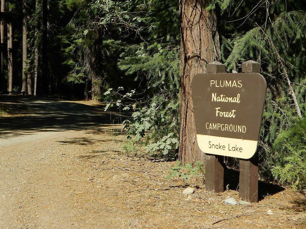
Plumas Mountains
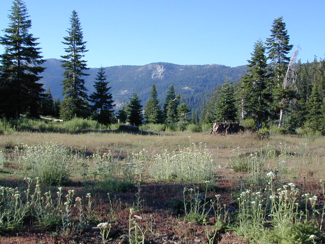
 Northern Sierra Nevada mountains is where the granite rock of the Sierra meets to volcanic rock of Lassen Volcano. Butte County and Plumas County is the Feather River drainage, all flowing south from Mount Lassen.
Pacific Crest Trail is routed through Bucks Lake Wilderness and the Feather River Canyon, so backpacking is popular. Highway 70
- Bald Rock California
- Bucks Lake Campgrounds
- Bucks Lake Wilderness
- Feather River
- Feather River Map
- Lake Davis
- Lake Oroville SRA
- Lakes Basin Recreation Area
- Lakes Basin Recreation Map
- Plumas National Forest Map
- Silver Lake Campground
California towns around the Plumas Mountains:
- Belden Town, CA
- Berry Creek, CA
- Blairsden, CA
- Bucks Lake, CA
- Graeagle, CA
- Meadow Valley, CA
- Portola, CA
- Quincy, CA
- Storrie, CA
- Tobin, CA
- Twain, CA

Lassen Mountains
 Technically speaking, the Susan River is the top waterway of the Sierra Nevada mountains. Lassen County spans the distance from the Nevada state line, west to Plumas forest and the Feather Rivers (all 4 forks).
Lassen Peak is the middle of the National Park and the National Forest totally surrounds that. Numerous lakes, hiking trails, wilderness areas and dirt roads make up this huge forested area. Snow-mobiling is popular in winter months around the town of Chester.
- Butt Valley Reservoir
- Ponderosa Flat Campground
- Eagle Lake
- Feather River
- Hat Creek
- Lake Almanor
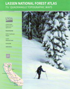
- Lassen National Forest Map
- Lassen Park Map
- Lassen Volcanic National Park
- Lassen Topo Atlas
- Caribou Wilderness
- Ishi Wilderness
- Thousands Lakes Wilderness
- Susan River
California towns around the Lassen Mountains:
- Burney, CA
- Chester, CA
- Hat Creek, CA
- Lake Almanor, CA
- Mill Creek, CA
- Mineral, CA
- Old Station, CA
- Susanville, CA
- Westwood, CA

Northeast California
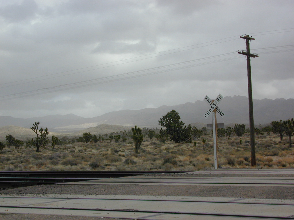
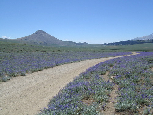
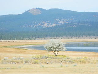
The far northeast corner of the golden state is the remote cattle range lands of Modoc Country inside Modoc County. Drier than the rest of NorCal, the high desert sage brush meadows, a few lakes and pine forest mountains. Highway 299 & US 395
- Blue Lake Modoc
- Mill Creek Falls
- Modoc National Forest Map
- Pit River
- South Warner Wilderness
- South Warner Wilderness Map
California towns near Modoc Mountains:
- Adin, CA
- Alturas, CA
- Canby, CA
- Cedarville, CA


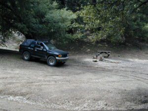
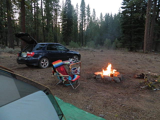
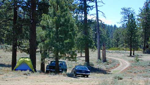
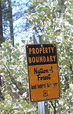
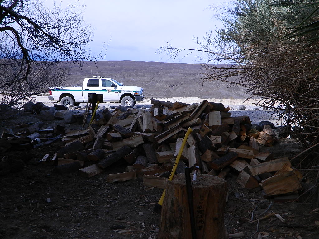
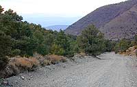
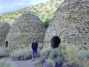
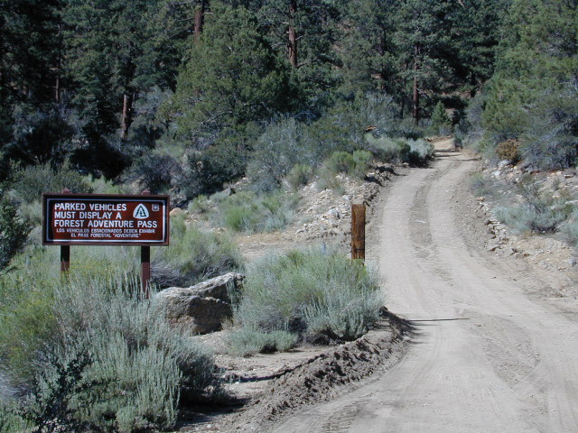
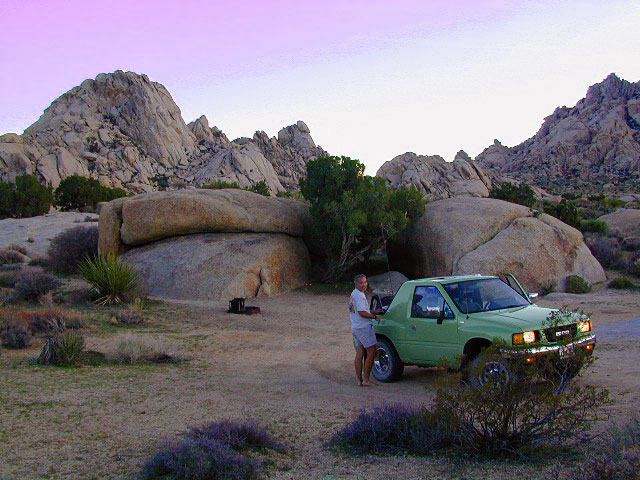
 A high clearance vehicle may be needed to reach certain camp spots, but many can be accessed with a standard passenger car. Low riders will likely bottom out and motorcycle riders will get dusty.
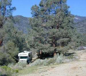


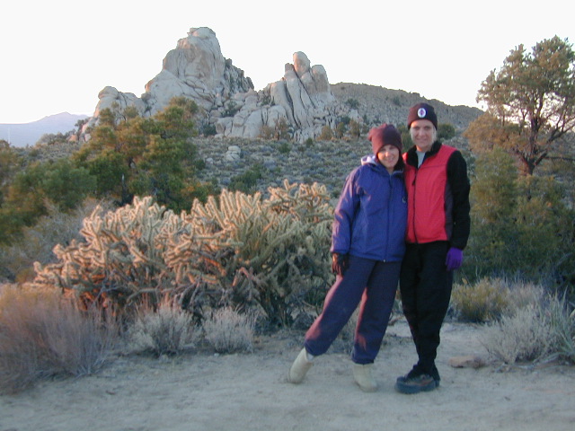
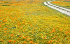
 WILDFLOWERS – joshua tree, yucca, barrel cactus


 Eastern Sierra communities include:


 provided by them. Certain California
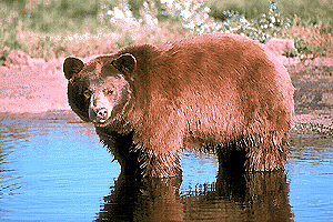


