Category Archives: Back Roads

7N01 – Stanislaus NF

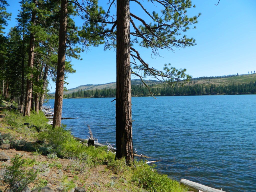
Spicer Meadow Reservoir & more lakes: Paved Forest Rd #7N01

Spicer, Utica & Union Reservoirs, Central Sierra, Stanislaus National Forest
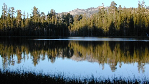
summit lake

Stanislaus National Forest
North Fork of the Stanislaus River
Highland Creek
Carson Iceberg Wilderness Area
Spicer Meadow Reservoir (6418′ elev)
Union Reservoir (6850′ elev)
Utica Reservoir

Spicer Meadow Reservoir can also be found on various publications, listed as Spicer Meadows, Spicer Mdws, Spicer Lake and Spicer Reservoir.

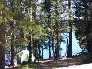
tent camping

Ebbett’s Pass is California State Route (SR 4) Highway 4, which cuts thru the middle of the Sierra Nevada mountains (east-west). Wilderness peaks and rivers surround this whole region. Deep snow pack is common, so much of this region is off-limits half the year (or more). Always check with local rangers by phone before venturing out, as winter conditions can keep these roads closed late into the year.

Topo Maps of this Region:

Stanislaus National Forest Map USDA
Carson Iceberg Wilderness Map USDA
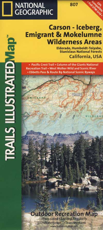
Carson, Emigrant, Mokelumne Map NatGeo
Sierra Nevada Topo Map

Wilderness Maps

N of Arnold, California; Continue up SR 4. Passing Calaveras Big Trees State Park & Camp Connell; After Big Meadow Campground, take the paved right turn for Spicer Meadow; This is forest road 7N01. Meandering thru a forest and descending in elevation, road will dead end at Spicer Reservoir.

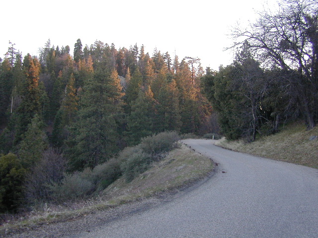
7N01, the main paved mountain road, is located on the south side of the highway. The highway turn off reads ‘Spicer Reservoir’. Suitable for travel w/ RVs and trucks with boat trailers. Quite curvy, scenic and about 7 miles long. There are developed campgrounds in the vicinity.

The dirt side roads off the pavement can be narrow, muddy, rocky and overgrown, so be cautious when exploring. Choosing a dispersed camp site should be done during daylight hours, and will require a campfire permit ahead of time. Use an existing camp site whenever possible, instead of creating new ones.
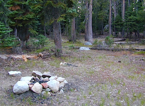
freespice

Several man-made reservoirs attract outdoor seekers, mountain bikers, campers, canoes and fishermen. Kayakers tend to love Union and Utica, but power boats and sail boats prefer Spicer Lake.

hiker

Volcanic features mix with Sierra granite in this part of the forest, and geologic formations make for interesting hikes. Mountain biking is common around these lakes, as well as day hiking and backpacking.
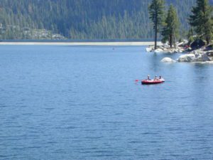
Spicer Lake

NFSlogo

NFS Campgrounds in the region:

  • Stanislaus River Campground
  • Spicer Campground
  • Spicer Group Camp

Campgrounds only open June-September. Some campsites at the campground are wheelchair accessible. Boat ramp located near campgrounds.

camp

outdoor recreation:
backpacking
boating
bouldering
camping
canoeing
fishing
floating
granite
hiking
kayaking
mountain biking
lakes
sailing
swimming
trails
wildflowers

wildflower

Left fork turn off, Dirt Road #7N05 leads out to Utica & Union Reservoirs. Granite rock, alpines lakes w/ forests surrounding. No motorized boats allowed on those two lakes. Very popular among the stand up paddlers (SUP), all kayaks and canoes.

canoeNo developed campgrounds back that way either. No flush toilets, nor paved roads. No flat RV spots; only primitive style camping. These 2 scenic lakes get crowded during summer weekends, so opt for a mid-week stay if possible.

Another dirt road treks steeply up the hill from Union Reservoir to Lake Alpine (at the highway). That primitive truck trail is actually a (somewhat designated, but not well-signed) 4×4 route and suitable for high clearance vehicles only.
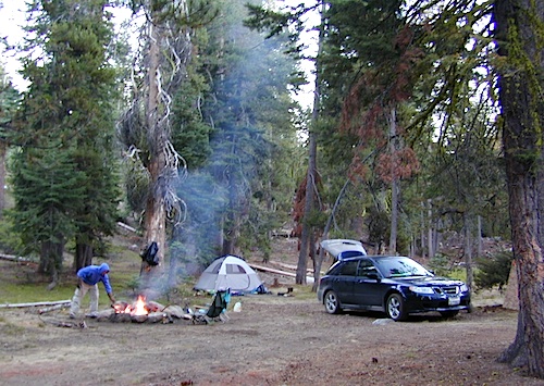
car camping lakes

Spur Road #7N29Y is another small dirt road which leads a couple miles into the forest, over to overgrown trailheads and primitive camping options. Ideal for accessing all the lakes (on foot) from this prime location. A camp fire permit is required. No water, no bathrooms, no facilities, no garbage services.

Pack it in, pack it out.

  • Elephant Rock Lake
  • Summit Lake (7068′ elev)

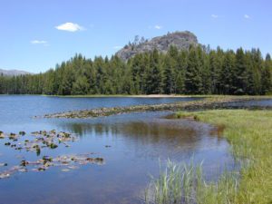
elephant rock

Closest small towns are:

ARNOLD
BEAR VALLEY
LAKE ALPINE, CA

lake camps

7N01 – Los Padres NF
There is another USFS Road in California named 7N01, but that one is a 4×4 OHV access route @ Dutchman Campground, located in South Central California; the southern part of Los Padres National Forest. We have mention of it on the page for Frazier Park Camping.

4x4

Creekside Camping

California Creek Camping

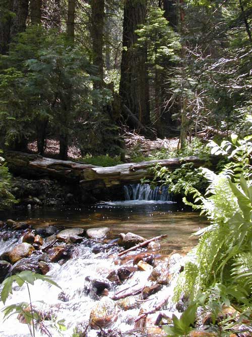
California Camping CreeksClear cool stream waters flow from snow melt at 10,000′ elevation, down to these pristine camps at under 4000′ on both sides of the Sierra. The further you drive up the mountain, the better it gets. Where the Eastern Sierra side tends to be more dramatic desert like with sage brush, the western range is much more lush with ferns & dense trees.

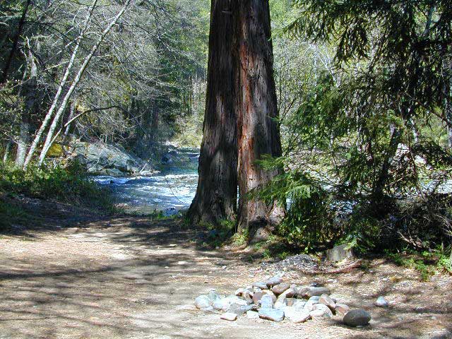
Everyone dreams of it. The perfect camp, along the creek. Maybe a waterfall or two, a shady hammock spot & plenty of trees, a flat tent spot, maybe a view. A big, sturdy, rock fire ring (without a bunch of broken glass in it).

This dreamy camp isn’t only in your imagination, nor is it at the local county campground a few miles from home. This kinda beauty & rare finds are out there, deep in the back woods, the mountains. You gotta know where to look & what to bring in order to have a good, easy, relaxing time.

These secluded sites really are around in your favorite forest, way back there. Best of all, they are free.

forest mapsHaving the opportunity to camp in your very own private, secluded spot, along dirt roads, outside of the annoying rules and fees of a developed campground is a privilege. Use these lands wisely and be a responsible camper. Camp eco-wise! Respecting the land, knowing some basics and following fire safety precautions is all mandatory. A topographic hiking map or a National Forest map is optional, but highly recommended.

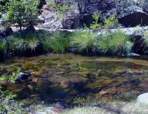
Creekside Camping CaliforniaCreek water can make an easy refrigerator if the cooler is full. Chill that bottle of wine, keep the watermelon cool .. just don’t forget about it. (cuz that kinda litter maybe a welcomed good surprise for the next camper.) Secure your wet creek valuables. Even a heavy watermelon can float! Put some rocks around items or tye them in a mesh bag, with rope, something to keep them from getting away in the swift water.

There is nothing that beats a good detailed forest map of where you are going. If you are the type of person who can never make a straight B-line for home on Sunday afternoon, and find yourself wandering just for the sake of wandering – then it’s best to have a larger state wide map like this beauty from Benchmark Maps.

California Creekside Camp Sites

Small Campgrounds on a Creek

Primitive Style – Dispersed Camping secluded camp sites

If you are the kinda sport who can really rough it, you may learn to love it. After your first real back woods camping experience, the privacy, serenity and beauty of the land will inspire and relax you so much, that the drawback on the lack of toilet won’t bother you.

Make a new hobby of learning how to stay away from the crowds. The less cars you see at camp, the better. Learn to be immersed within nature and enjoy your space outside. Unwind, next to the creek in the shade, with a chair and read for hours, or bring the sketchbook, or just daydream as butterflies go floating by.

  • Remember to be camp clean, California is black bear country.
  • You’ll need a free camp fire permit; pick up at the local rangers station.
  • Classic camp potty info.  Proper disposal of human waste is important.
  • Use biodegradable soaps when outside.

Streamside Camping Basics

what you need:

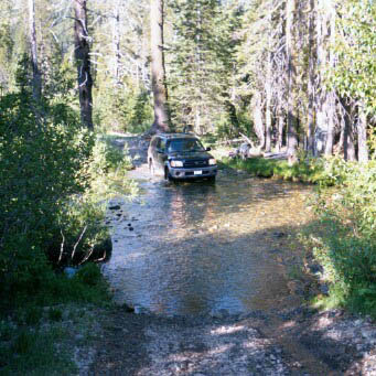
capable vehicle – SUV or Truck, high clearance is best. 4×4 is NOT required. AWD wagons should be more cautious when venturing out on the back roads. 2WD is fine for most graded dirt roads, but way out exploring dirt roads, deep mud and snow is quite possible.

destination – Pick a locale. A general area you wanna check out. Not a quickie overnight deal, but an enjoyable lazy multi-day camping trip.

exploration – Narrow down a canyon or river that you have always wanted to explore. The Sierra Nevada & NorCal is the place to concentrate your efforts, as SoCal is near desert climate w/ way too much development.

more maps please – National Forest map or similar backroads Map/Atlas. Large topo maps may be too detailed, but will do okay for finding dirt roads (& backpacker trailheads also).

The more homework you do before hand, the better chances of finding that secret camp spot, especially on holiday weekends. Go ahead & call the forest rangers. Have your decent topo maps handy, along with pen and paper. That’s what they are there for. Have a list of questions on specific areas you want more info on. If you do the prep work well in advance, it makes a more enjoyable camp trip. Cuz you’ll be less worried about finding the ultimate places (before dark, or before the other guy does). With your new profound Wilderness Vision, you will have not only a plan B ready, but a plan C as well.

what to look for:

getting permits – If you really wanna camp like this, all secluded on the dirt back roads without the hordes of other campers nearby…. you’ll need a capable vehicle, a camp fire permit & the understanding of the concept “totally self sufficient campers”. This means bringing your own water, a bucket, a shovel, maybe some firewood, plus packing out all your own garbage, plus any litter left over by the last campers. It’s the least you can do, not having to make reservations. Visit the FireSafe page

it’s on your map – After you have a general area narrowed down, some place you always wanted to go, then it’s time to get your maps out & start reading them. Or at least staring at them – maybe over a meal, whenever you have free time to study it. Look for dirt roads, the further off the paved roads is not necessarily the better. Some of the best camp sites are within a few short miles from the pavement, so get them maps out & start visualizing.
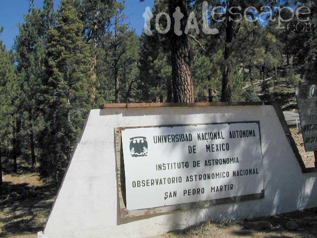
gas up – Make sure you fuel your vehicle before you head into remote areas (like the ones we are mentioning). Maybe even an extra can of gasoline too, just in case.

the blue lines – You’ll know a decent road when you see it. When you start planning at home, you need to concentrate of what dirt roads are along what water sources. And will these streams be flowing at this time of year? Many are seasonal creeks & can dry up in summer. The most likely place to find great water flow is to look for the streams flowing directly into a major river or Lake/ Reservoir.

Are you willing to clean up your camp, before & after, leaving it pristine?
Yes indeed, it is free to camp outside of developed campgrounds.

Finding a Creek & Reading a Map

Frazier Park Camping

Mount Pinos Camping & Frazier Park Campgrounds

Drum Circle Camp
Mount Pinos Fire Circle Camp Spot
camp5
Gold Hill Campground (which is now closed) – right next to Piru Creek.

camp

Frazier Park and neighboring towns, like freeway-close Lebec and Gorman, is where the Los Angeles hills meet the Kern County mountains. Mojave Desert meets to Coastal Range. EXIT I-5 @ Tejon Pass (elev 4144′)

Wildflower hills, seasonal creeks, forested peaks, high desert canyons. Bike trails, hike trails, off road routes. High elevation backpacking, hang gliding, mountain biking and camping in every direction.

MTB SOCAL
Mountain Bikers love the trails at Mount Pinos.

High desert washes, oak creeks, pinyon pine forests, mountain meadows and numerous peaks – Frazier Peak, Reyes Peak, Alamo Mountain, Mount Pinos, Mount Abel (Cerro Noroeste) and north facing San Emigdio ridge.

Mt. Pinos District:

campground elev spots veg toilet water notes
Aliso Park, Cuyama 3200′ 11 oak pit no Aliso Cyn Rd. (#10N04)
Ballinger OHV Camp 3000′ 20 pinyon vault no Rd# 9N10, Cuyama Valley
Camp-O Alto 8286′ 12 jefferey pit no ridge, Cerro Noroeste
Caballo Campground 5850′ 5 oaks pit no Rd# 9N27, Cerro Noroeste
Cherry Creek 4×4 5200′ 2 oak no spring 4WD trail, Cuddy Valley
Chuchapate Campground 6000′ 30 pines vault piped Rd# 8N04, closed winter
Chula Vista Walk-In Camp 8300′ 12 pines vault no walk-in camps & RV lot
Cottonwood Campground 4600′ 2 ctnwd no creek 4WD only trail, fish
Dome Springs Camp 4800′ 4 oak pit no Rd# 8N40, Lockwood
Dutchman Camp 6800′ 8 pines no no Rd# 7N01, 4WD trails
Half Moon Campground 4700′ 10 pines pit no Rd #7N03, May-Oct
Kings Campground 4250′ 7 pinyon vault no OHV & Piru Creek
Marian Campground 6600′ 5 pine pit no closed in winter
McGill Campground 7500′ 50+ pine vault seasonal mountain biking
Mount Pinos Campground 7800′ 19 pine vault seasonal closed winter
Nettle Springs Camp 4400′ 9 pinyon vault no Rd# 8N06, Apache Cyn
Ozena Campground 3660′ 12 cottnwd vault no Lockwood Rd
Pine Springs Camp 5800′ 12 pinyon pit no Road #7N03
Pleito Campsite 5000′ 2 mixed no no dirt rd access, dispersed
Rancho Nuevo 3550′ 2 mixed no no river crossing
Reyes Creek 4000′ 30 oaks vault yes creek camping
Reyes Peak Pine Mt 5200′ 6 pines none no ridge camping
Salt Creek 4×4 3000′ 2 mixed no no 4WD only
Sunset Campground 4300′ 2 cottonwd no no Lockwood / Piru Creek
Thorn Meadows 5000′ 5 pine pit no Rd# 7N03C, horse corral
Tinta Campground 3600′ 3 pinyon pit no river crossing
Toad Springs Camp 5700′ 5 pinyon pit no Rd# 9N09, Quatal Cyn
Twin Pines Camp 6600′ 5 pine vault no Dry weather only
Valle Vista Camp 4800′ 7 mixed pit no condors, new toilet

See Mount Pinos Recreation Campgrounds only

Group Camping Sites in Los Padres Forest

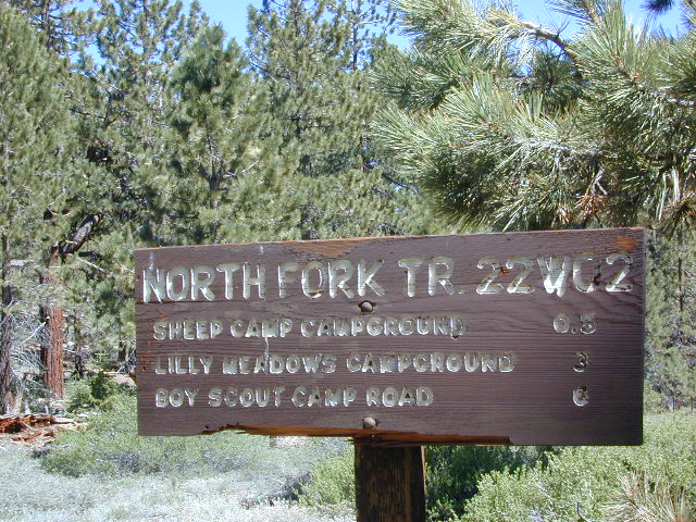
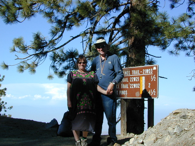
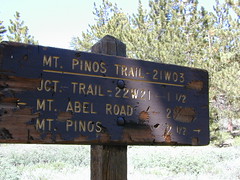
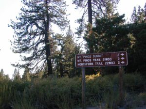
Hiking Pinos Signs
Mount Pinos – Peak to Peak hike.

Maps of Los Padres NF –nettle spring camp

Los Padres mountain towns –

DSCN0043

Toad Springs Campground atop Quatal Canyon. Small camps located in Los Padres NF have no fees, and often no toilets – so bring the shovel.

Many dirt roads are gated seasonally for wet weather or snow. Call rangers to find out which routes are open before you plan your weekend. Or have a plan B and C camp site ready if route is closed. Flashfloods, thunderstorms, and erosion means you may all-of-a-sudden need to use your 4WD. This is the mountains after all. UNpredictable weather is common.

frazier park camping

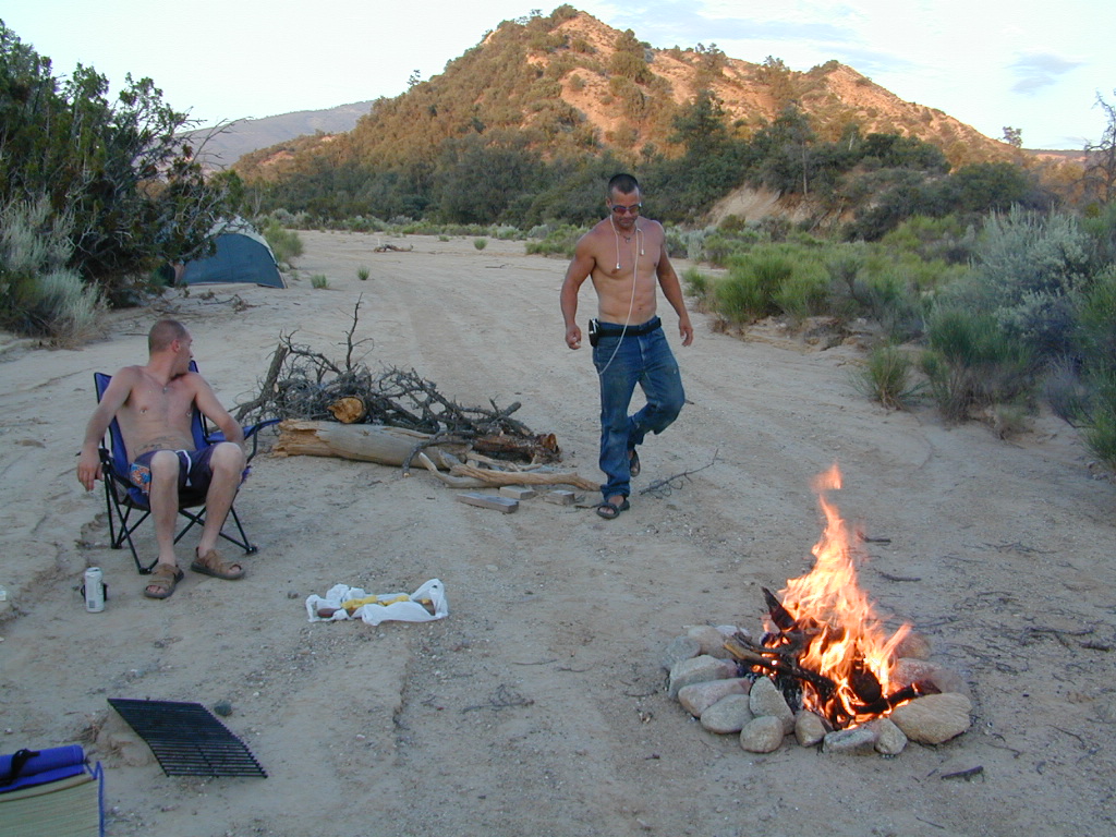
Primitive Camping in Quatal Wash, next to the OHV Route and the Chumash Wilderness

PeaktoPeak
Peak-to-Peak Hike: the toughest climb you’ll do, this decade.


22S05 – Sequoia NF

Sherman’s Pass Road: J41 Mojave to Kern River, Sequoia Forest Rd# 22S05

NFSlogo

Sequoia National Forest

sherman snows
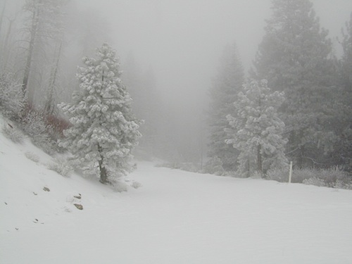
Snow closes Sherman’s Pass Road annually

This paved Southern Sierra highway (aka J41, off US 395) is a paved route through the eastern portion of the Sequoia National Forest. A curvy mountain corridor which crosses over the forested plateau and also the South Fork of the Kern River. This road skirts the Domeland Wilderness & the South Sierra Wilderness. The PCT (Pacific Crest Trail runs across it as well, near Kennedy Meadows.

East side of Sequoia National Forest, the Kern Plateau meets the Mojave desert w/ BLM Camping & Inyo National Forest.

22s05 snowy
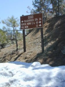
The Sherman route connects the Kern River, near Fairview to Kennedy Meadows & closes for snow in winter months. There are plenty seasonal creeks, meadows & forests in this region. Elevations range from 4000′ near the Kern River to 8000′ at Black Rock Station.

camp

BIG MEADOW
Horse Meadow Campground
Long Valley Campground
Chimney Creek Campground
Chimney Peak Backcountry Byway

Bald Mountain Fire Lookout is an excellent stop for sightseeing over Domeland Wilderness. Access it via dirt road# 22S77, access to tower is a rough and rocky, steep road which may require 4WD.

hiker

Steep Grades

ranger

USFS Ranger Stations:

  • Black Rock Station
    760-376-1666
  • Kernville Station
    760-376-3781

Snowy Springs

Campgrounds along Sherman’s Pass Road include –

  • Rincon Camp (primitive campsite) – just up from Brush Creek & Kern River; Rincon Trail #33E23 runs North/South near here.
  • Big Meadow / Horse Meadow Campground
  • Troy Meadows Campground
  • Fish Creek Campground
  • Kennedy Meadows Campground

westbound

mountains

nearby towns:

CALIFORNIA HOT SPRINGS
FAIRVIEW
KENNEDY MEADOWS
KERNVILLE
PONDEROSA
RIVERKERN

California Reference

shasta back roads

California Information Centers w/ Helpful Links, Tips, Weather & Road Advice


SIERRA HWYS / Sierra Passes:
Annual Highway Closures in the snowy Sierra Nevada Mountains

snow

California Road Conditions

 caltrans
Cal-Trans Road Conditions
800-427-7623
All CHP Offices
Web cams on California freeways

Nevada Road Conditions
702-793-1313

Oregon Road Conditions
503-588-2941

California Travel Timelines

California Back Roads Info

L.A. Road Closures
Department of Public Works Los Angeles

North State Road Conditions & Web Cams
Siskiyou County California

Weather Bureau
530-221-5613

California Mountain Roads –
Snow Chain Requirements

R1 – Chains are required on all vehicles except passenger vehicles and light-duty trucks under 6,000 pounds gross weight and equipped with snow tires on at least two drive wheels. Chains must be carried by vehicles using snow tires. All vehicles towing trailers must have chains on one drive axle. Trailers with brakes must have chains on at least one axle.

R2 – Chains or traction devices are required on all vehicles except four-wheel/all-wheel drive vehicles with snow-tread tires on all four wheels. NOTE: four-wheel/all-wheel drive vehicles must carry traction devices in chain control areas.

R3 – Chains required. Chains or traction devices are required on all vehicles, no exceptions.

The most common chain controls are R-1 and R-2. Highways will often be closed before an R-3 control is imposed, but winter weather conditions can change any road condition, hour by hour.

California Information Centers

check

California Office Of Tourism
1121 L St., Suite 103, Sacramento, CA 95814

California Welcome Centers
various locations, usually near freeway & factory outlet malls

California Bureau of Land Management
BLM

California Department of Fish and Game
916-445-0411

California National Forests NFS
USFS

CaliforniaNational Parks NPS
NPS

California State Parks calsp
SP, SHP, SRA

Eastern Sierra Interagency Center 
US Highway 395 @ Death Valley turn off
760-876-6200
2 miles south of Lone Pine CA
@ junction of Hwy 395 & SR 136

Kelso Depot Visitors Center
Mojave National Preserve
760 252-6108
Kelbaker Road, Kelso, CA

Old Station Visitor Information Center
13435 Brian’s Way
Highway 44/89, Old Station, CA 96071
530-335-7517
Hat Creek, East Lassen NF

California State Transportation

CA Trains – Amtrak, MetroLink, Coaster, BART, Skunk

California Statewide Bus Lines – Amtrak bus, Greyhound & FlixBus

train

California off road links

California 4×4 Groups
Cal 4-Wheel

Total Escape Back Roads

dirtbikes

California Travel Tours

California by Bicycle
California 4×4 Tours
California by Helicopter
California by Horseback
California by Llama
Lake Tahoe Tours
Palm Springs Tram
Vegas Outdoor Tours

hiker

California Maps: Parks, Wilderness, OHV trails

longwayup
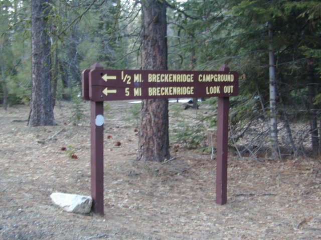
Breckenridge Mountain, eastern, paved access from Breckenridge Road #28S06, Sequoia National Forest, Kern County California
gorgeview
Sierra National Forest Road #11S12 – Big Creek, granite gorge view. Dirt road connecting Wishon Reservoir to the Kings River, on the Western side of the Sierra Nevada
Road 64 South Warner
Exploring Modoc Road 64 (aka South Warner Rd) located back behind Blue Lake Campground. Excellent horse camping opportunities next to South Warner Wilderness.

California Roads

observatorio
Observatory @ San Pedro Martir, Baja California Norte – Pine Forest Camping Laguna Hanson, Parque Nacional Constitution de 1857; located off Hwy 3 east of Ensenada
signage
Kelbaker Road, Mojave Desert – paved connector and main route between Interstate 15 and Interstate 40. Mojave Desert National Preserve
newarmypass
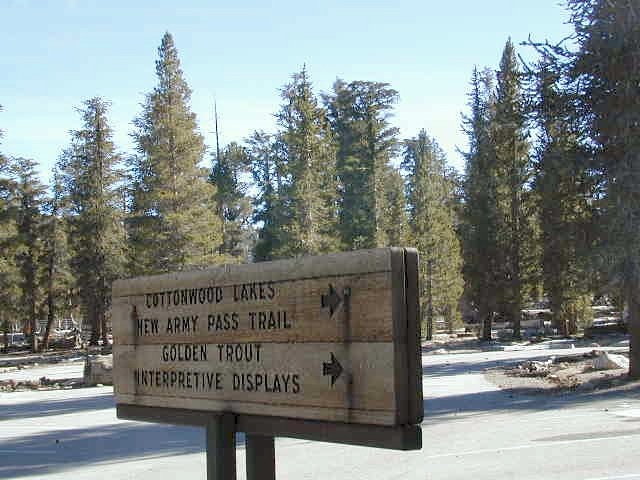
Backpacking, Equestrian and Hiking Trailheads to the High Country Eastern Sierra. Cottonwood Lakes, Inyo National Forest @ US Highway 395

11S12 – Sierra NF

engineering_x

Black Rock Road #11S12
– Sierra National Forest

North Fork of the Kings River, Blackrock Rd

connects Kings River @ Pine Flat to Blackrock Reservoir.
Road closed seasonally for winter; call ahead.

This impressive Sierra Nevada route literally climbs a granite cliff high above the Kings River, near Pine Flat Lake north of Sequoia Parks, inside Sierra NF. This granite gorge is due east of farm city Fresno at the edge of Kings Canyon National Park.

If you are a nervous, inexperienced driver and scared of heights – be forewarned: this is not the road for you. The views are amazing, but the terrain can be unforgiving, even deadly.

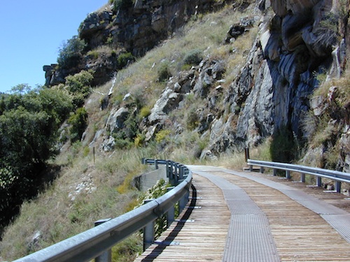
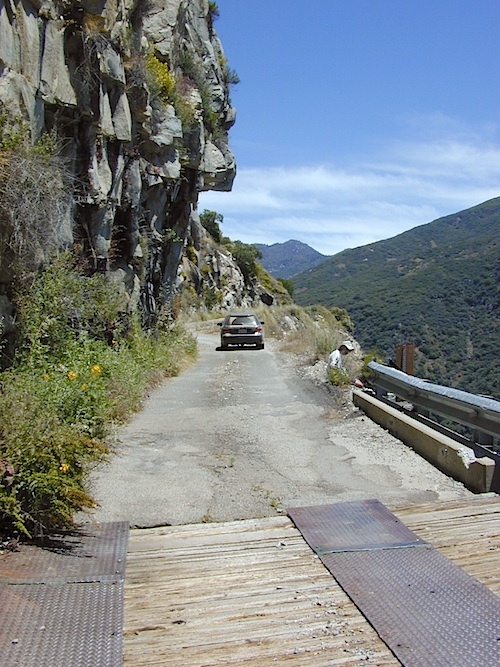
Paved, narrow, one lane, giant rock overhangs, no guard rails (except on the bridge) the route skirts the North Fork of the Kings, coming down from Wishon Reservoir.

Blackrock Road

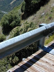
Click image above to enlarge and see the tiny Kings River far below the road.


Black Rock Lake

Blackrock Reservoir, located up the road – has a PG&E campground in a secluded canyon, with lake fishing and hiking, so it is well worth trouble to take this crazy road. Granite rock canyon, steep mountains, minimal roads.  Seclusion can be found, up this way.

Utmost safety should be taken on this road due to the extreme terrain. When driving one lane roads always keep an eye out for possible turn-outs and oncoming traffic. Forest and lake personnel have living quarters at the base of this road @ BALCH CAMP, so keep driving when passing thru. Follow signs to Blackrock.

breaktime

Above Blackrock Reservoir, further up the canyon, the road becomes DIRT when the pavement stops; this continues to Sawmill Flat Campground and eventually on to Dinkey Creek Road. This whole upper (dirt road) portion is gated for winter and closed during the wetter months. Call ahead to the ranger station at Trimmer to find out if this road is open.

Sierra National Forest
Trimmer Ranger Station
559-855-8321

Sierra Kings River Camping

Sierra National Forest Map USFS
northkings
North fork of Kings River
gorgeview
Road #11S12, gorge view

South Warner Wilderness

Warner Mountains
Modoc Country
Northeast California

Road 64

Wide open spaces, mountains, rivers and ranch lands. The very last of the unexplored high country of California. Rural and rustic regions are full of forested mountain ranges with sage brush meadows lying below. Valleys are high elevation deserts with a base terrain sitting above 4000′; Peaks @ 8000′ above sea level.

South Warner Wilderness

70,000 acres
80 miles N of Susanville, CA
Modoc National Forest
NFS

South Warner Wilderness is in the southern portion of the Warner Mountains, a north south positioned range, located in the top corner of the golden state. Surprise Valley lies to the east, bordering the Nevada state line and Alturas w/ US Hwy 395 on the west side.

California SR 299
Hwy 299, the only paved thoroughfare cuts right through the middle of the Warner Mountains. Paved Parker Creek Road #56 climbs up Parker Creek from Alturas, accessing camping, hiking, dirt back roads and wilderness trailheads. Warner Mountains State Game Refuge is north of the wilderness area.

One dirt route skirts the wilderness boundary – West Warner Road #5, which leads from Parker Creek due south to Jess Valley Rd #64. Blue Lake Road, Patterson Mill and Road #39N15 are nearest to East Creek. Winter driving tips from NFS.

butterfly

  • backpacking
  • camping
  • creeks
  • fishing
  • hiking
  • horseback riding
  • hot springs
  • lakes
  • waterfalls
  • wildflowers
  • wildlife

South Warner Lakes & Reservoirs lake

  • Clear Lake
  • Patterson Lake
  • Porter Reservoir (elev 6682′)
  • West Valley Reservoir (elev 4761′)
  • Blue Lake
  • Sworinger Reservoir (elev 5868′)

South Warner Trailheads hikes

  • Summit North Trailhead (Road #31)
  • Pine Creek Trailhead (Road #5)
  • Mill Creek Trailhead (Road #40N24)
  • Clear Lake Trailhead (Road #5)
  • Summit South Trailhead (Road #64)

mill creek falls modoc

South Warner Campgrounds camp

All these campgrounds listed can be accessed by a vehicle, most by narrow back roads (some dirt). If you prefer to drive on paved roads only, then you’ll need to choose Blue Lake or Mill Creek Falls. Deep snow closes forest roads and campgrounds are generally only open a few months per year, from May to October.

South Warner Mountain Peaks

  • Squaw Peak (elev 8646′)
  • Warren Peak (elev 9710′)
  • Dusenbury Peak (elev 9710′)
  • Eagle Peak (elev 9892′)
  • Cole Peak (elev 8970′)
  • Emerson Peak (elev 8989′)
  • Hat Mountain (elev 8737′)
  • Red Rock Mountain (elev 8518′)

south warner mountains map

Wilderness permits can be obtained at local ranger station: NFS
Modoc National Forest
225 West 8th Street
Alturas, CA 96101
530-233-5811

Blue Lake Modoc
Blue Lake Modoc

nearby towns –

Great Overland Stagecoach Route of 1849

Canon Sin Nombre
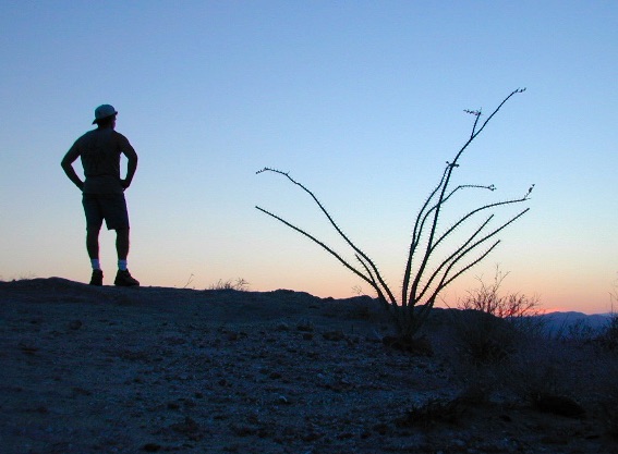
Sunset view of Canon Sin Nombre

San Diego County Road S-2

Great Overland Stagecoach Route of 1849Canon Sin Nombre
San Diego County Rd S2
San Diego County Highway S2

The awesome southern California desert, a stretch of road that traverses north-south direction on the west side Anza Borrego Desert; from Interstate 8 up to to Lake Henshaw @ San Felipe Road. Driving north you gain elevation from sandy badlands into the mountains, but trees are few and far off. Exit I-8 at 400′ elevation above sea level and gradually climb to 3000′ – over near Lake Henshaw & Palomar Mountain.

San Diego Road S-2 is about 50 miles long, through very scenic desert with interesting vegetation and paved the whole way. Perfect for RV travelers, as it has many camping options – from freebie, primitive camp spots to private campground resorts. Palm canyon hide-aways, secret shady spots, endless hiking canyons, and a campground with hot springs.

Carrizo Gorge TrestleS2 Road intersects California SR 78 at Scissors Crossing and continues north through the barren San Felipe Hills. The Southern California portion of the Pacific Crest Trail parallels the ridge line on the east side, with the town of Borrego Springs lying behind that ridge at 590′ elevation. The historic mountain town of Julian sits in the hills above Banner Grade (Hwy 78).

California Historical Landmarks, along S2

# 304 VALLECITO STAGE DEPOT
# 472 BOX CANYON (Anza Borrego Desert)
# 639 PALM SPRINGS (Anza Borrego Desert)
# 647 BUTTERFIELD OVERLAND MAIL ROUTE
# 793 SAN FELIPE VALLEY AND STAGE STATION

points of interest along this route:

California Interstate 8
Ocotillo, CA
Yuha Desert
Fossil Shell Canyon (BLM)
Anza Borrego Desert State Park
Mortero Canyon
Dos Cabezas
Carrizo Gorge Wilderness
Carrizo Palms
Carrizo Gorge Railroad Trestle
Carrizo Badlands & Overlook
Canon Sin Nombre
Coyote Mountains Wilderness
THSDmapHollywood & Vine
Fish Creek Wash
Old Carrizo Stage Station
Sweeney Pass
Bow Willow Campground
Canebrake
Agua Caliente Hot Springs
Vallecito County Park
Oriflamme Canyon
Box Canyon Stagecoach Route
Blair Valley
Ghost Mountain
Vallecito Mountains
Pinyon Mountains
Earthquake Valley
Shelter Valley
Scissors Crossing (@ Hwy 78)
Volcan Mountains Wilderness Preserve
San Felipe Creek
PCT – Pacific Crest Trail


View Larger Map

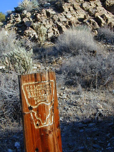
Antique signs still on trail (2001)

Smile Cheps

Oriflamme Canyon Anza

28S06 – Sequoia NF

breckenviews
Southern Sierra views from Breckenridge

Breckenridge Road: Forest Rd# 28S06 – Sequoia National Forest

breckenridge

Also known as Kern County Rd# 218 (or old Benchmark Atlases have it marked as road #28S03).

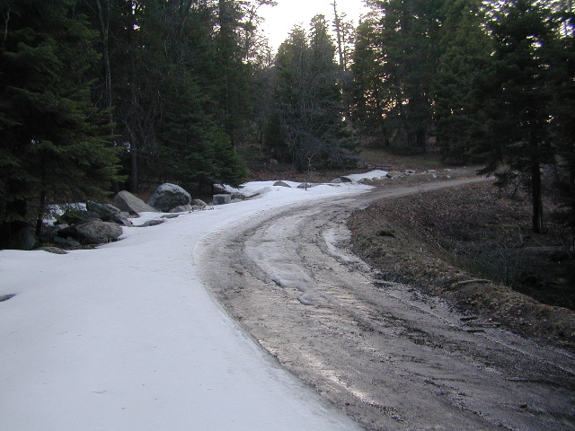
Breckenridge Mountain is the southern most portion of Sequoia National Forest, a 7500′ peak between Kern River & Tehachapi, CA. Breckenridge Road can also be reached just N of Lamont, CA. Meadows, pine forest & a few secondary dirt roads. The 30 mile narrow route thru Breckenridge Mountain ridge line is paved the whole way from Caliente Bodfish Rd (County Rd# 483) @ Havilah Canyon all the way to Hwy 58, but often closes in winter months due to snowfall.

28S07
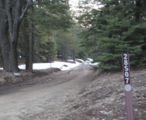
Camp Road # 28S07

Breckenridge Campground, via dirt road# 28S07, is the only developed campground up here. It is very forested, has 8 basic camp sites @ elevation 6600′. Windy and cold, sometimes.

breckendusk

Side route# 28S62 leads 5 mi, out to a fire lookout tower.
#28S22 leads to Munzer Meadow.

breckensign

Southern Sequoia National Forest

NFSlogo


longwayup

nearby towns:

snowispossible
Snow is possible, above 5000′ elevation

regional maps:

Mount Pinos

Mt. Pinos

Sierra Views from Pinos
Originally uploaded by danamight

Mount Pinos Recreation Area

The Mt Pinos Recreation Area is located on the border of Southern and Central California, inside Los Padres National Forest. After passing Frazier Park, the winding, paved, mountain road starts atop Cuddy Valley and is approximately 12 miles from Interstate 5 @ Tejon Pass. The 8831′ peak is the tallest in Kern County and is a popular spot for both summer and winter recreation: cross country skiing, snow shoeing, backpacking, hiking, mountain biking. The snow gates often close during heavy snow.
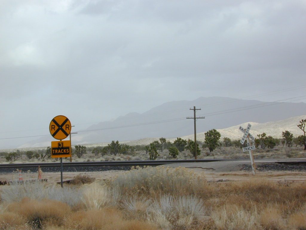
Mount Pinos Road starts atop Cuddy Valley Rd, at the “Y” – where it intersects with Mil Potrero Highway, which heads out to Pine Mountain Club, California.

One mile up the Mount Pinos route, you will find McGill trailhead on the right side (it is popular w/ mountain bikers) and then the first snow gate at Burbank Rd. Another 4 miles up hill, you come to the only set of dirt roads accessible on this range. A left turn will take you winding thru pine forest to the valley below. 4×4 is not required, but a National Forest map could be very handy. Unfortunately all the private properties at the bottom have locked gates & no thru access to Cuddy Valley is allowed. Although it is an awesome drive to just go exploring in the woods, there is no way out (once you get down the hill), so you must return the same way you came.

Back on the main route, shortly after the dirt roads is McGill Campground on the right side & another snow gate. In another mile and a half you will reach Mt Pinos Campground on the left side; the entrance is easy to miss. From here you are less than 2 miles from the end of the main road.

Mountain Bike, Hike, Backpack, Camp, XC Ski, Snow Sled

Darkest Skies for Stargazing in Southern California

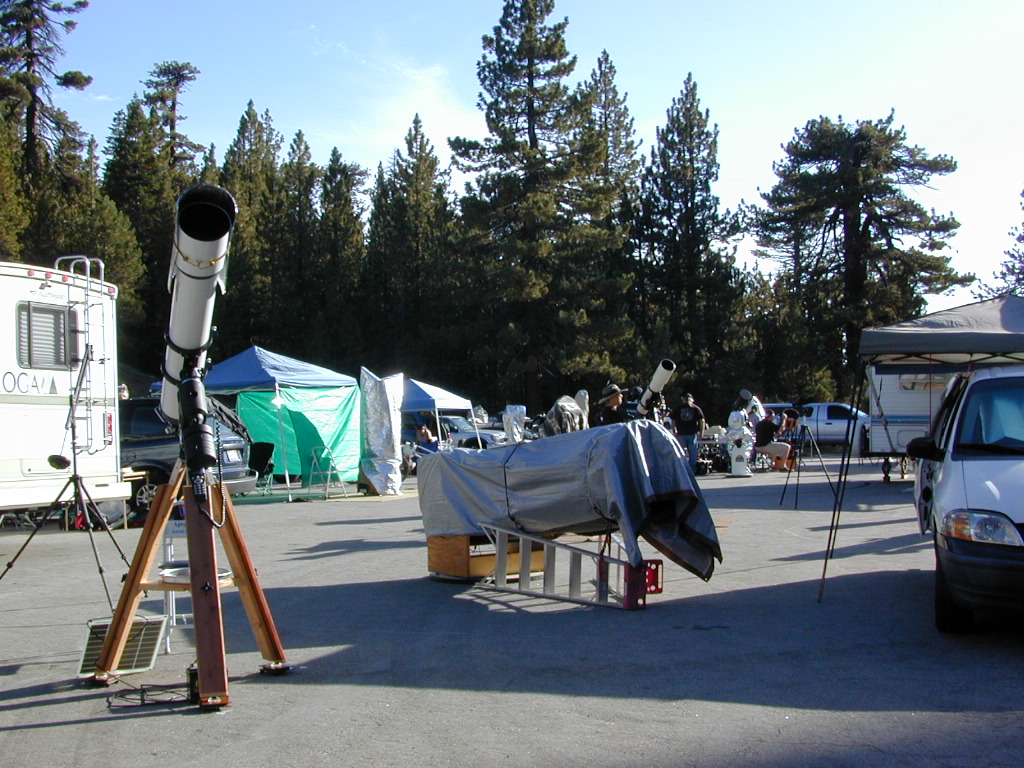
The huge paved parking lot is the dead end (2 miles from the peak of Pinos) – very popular with astronomers, mountain bikers, plus the families and snow sledders in winter (if the gates are open). A National Ski Patrol’s Nordic Base, the only building you will see up this way. At 8300′ elevation, the large parking area is perfect overnight spot for amateur astronomers, so be considerate when visiting night. New moon (no moon) weekends APR-OCT are optimal viewing months. In busy summer months you can often find motorhome campers all set up with expensive equipment tracking the heavens all night long. Please be respectful of their hobby & eyes; Turn off headlights when you approach the parking area at night.

hiker

There is also a hike-in, freebie camp ground called Chula Vista; an easy quarter mile walk from the parking lot to 12 camp sites & a pit toilet. Mountain bikes dig this area too. A large meadow here blooms with wild irises in summer, only sometimes.


Trail 21W03 Mt Pinos

Originally uploaded by danamight

ROAD CONDITIONS to Mount Pinos, call the rangers 661-245-3731

Pinos – Peak to Peak Hike

The trailhead for Pinos Summit starts at this parking lot. It is a 2 mile moderate, but steep hike on an old fire road. The neighboring peak to the west is called Mount Abel @ 8286′ elevation (aka Cerro Noroeste). The infamous peak to peak hike along the ridge line from Mt Pinos to Mt Abel is 6.5 miles one way – and very popular in summer months. This hike requires 4-6 hours & a car shuttle should be arranged in advance. The Chumash Wilderness sits between Mount Pinos and the tiny community of Pine Mountain, which can be seen below on many places along the hike.

camp

There are 3 developed campgrounds in the Mount Pinos Recreation Area:

McGill Campground accepts reservations online. Campgrounds are often closed during winter months, due to snow. (Oct-April)

DARK NIGHT SKIES: Amateur Astronomers unite!

thebigboys
Pinos star gazers out in force
summitsign
Hiking Trails to Mount Pinos, California


drummersout
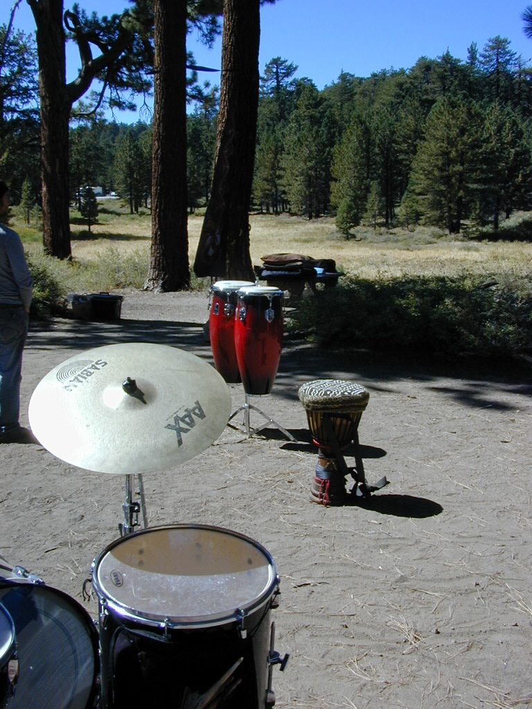
Drummers Solstice Campout

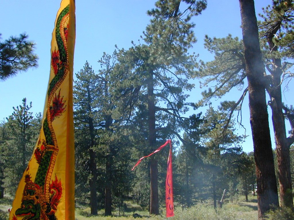
flagspinos

LOS PADRES MAPS:

Los Padres National Forest Map

Los Padres Forest Topo Atlas

NatGeo Los Padres East Map 

Sespe Wilderness Trail Map

Dick Smith Wilderness Map

NEAREST TOWNS:

Chumash Wilderness
Mt Abel trailhead looking East to the Mount Pinos range. Pine Mountain Club, and the Sierra Nevada mountains can both be seen from this vantage point

see the neighboring mountain peak, Mount Abel

Camp O Alto @ Cerro Noroeste

Camping Vegas

Camping & Hiking Vegas

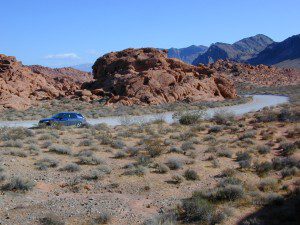
Valley of Fire Park
Valley of Fire Park

Vegas National Park
Desert Park Areas

The lands surrounding Las Vegas are NOT managed by the NPS, National Park Service – but Lake Mead is considered a National Recreation Area. Hoover Dam is located at the south end of Lake Mead, then the Colorado river connects further down stream to Lake Mohave.

Tourist are no longer burdened by the constant flow of traffic over the dam, because a beautiful, new bypass bridge has been recently built above the dam.

Boating, kayaking, fishing, hiking, off-roading and camping are popular attractions at both the reservoir lakes. Mohave Lake is lesser known and therefore, less crowded. 4×4 may be need to reach certain coves at Mohave.

Vegas Hot Springs
(hike-in or kayak access only)

Most of the public lands in this Vegas desert are managed by BLM or the USDA National Forests. The Great Basin National Park is located in central Nevada, nearly 300 miles NW of the city of Las Vegas.

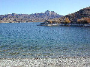
Lake Mohave
Lake Mohave on border of California, NV & AZ

Red Rock Vegas

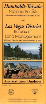
redrockmap1997

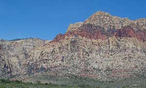
Some folks know these rock walls as Red Rock Canyon, or Red Rock Park near Vegas – but the official name now ‘Red Rock Canyon National Conservation Area’ and the lands are managed by the BLM.

redrock vegas

The closest red rock park to Las Vegas, this one is located at the far west end of Charleston Blvd. – an easy exit to find off the freeway Interstate 15. Day hikes, rock climbing, mountain biking, picnics and a large BLM campground. This desert range can get very windy and the only campground around is poorly located along the busy highway, on a ridge. Bring good tent stakes and be prepared for serious wind. Better camping options can be found over at the higher elevation Mount Charleston, see below.

Vegas Valley of Fire

This beautiful desert park is 60 miles N of Vegas and well worth the day trip to explore native petroglyphs, hike among red rocks, sandy washes and just relax to take in breathtaking vistas. See more about the Valley of Fire State Park

Mount Charleston Camping

Several developed campgrounds are available in a pine forest setting. Some may charge a nightly fee, or a day use fee. Mary Jane Falls is well worth the hike. Two lodges grace this mountains, The Mount Charleston Resort is the big log and stone cabin along a straight away on Kyle Canyon Road #157. The Mount Charleston Lodge is above at 7717′ elevation and has a popular restaurant and nice modern mountain cabin rentals.


View Larger Map

Mount Charleston Campgrounds
USDA NFS

Humboldt-Toiyabe National Forest

Spring Mountains National Recreation Area

Dolomite Campground
8,500′ elev
open May-Oct

Fletcher View Campground
7,000′ elev
open all year

Hill Top Campground
8,400′ elev
open May-Oct

Mahogany Grove Campground
8,000′ elev
open May-Oct

McWilliams Campground
8,500′ elev
open May-Oct

Old Mill Campground
8,300′ elev
open May-Oct

Red Rock in Las Vegas


24N10 – Plumas NF

Lake Davis Loop Drive

Lake Davis Loop: Plumas Forest Road #24N10

Plumas National Forest

also known as the Beckwourth Taylorsville Road

5,800′ elevation
Portola, CA

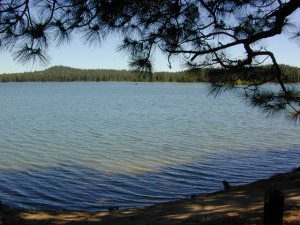
Lake Davis

Lake Davis Loop is a 20 mile circle around the lake. Drive or mountain bike route. Scenic drive on dirt roads, or an easy bike ride. Average ride time 2 hours for biking.

A flat, easy loop around Lake Davis is best in summer months, as snow usually closes this area in winter. The whole route is a mix of paved, dirt and gravel road. There are picnic areas along the way, lake views, bird and wildlife viewing, wildflowers.

NFSlogo


Numerous primitive camp sites and secondary dirt roads fork in various directions, off of this main loop.  Volcanic ridges line the west side of the lake, dense forest and seclusion can be found all around. Bald eagles fly overhead and wild life is abundant.

  • boat
  • camp
  • fish
  • hike
  • mountain bike
  • stargaze
  • wildlife

CROCKER GUARD STATION

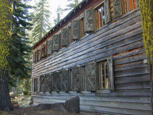
campCrocker Station is for rent and reservations are required. This wooden 2-story home was built in 1912 for Forest Service personnel, and later staffed as a fire station until the 1980s.

Situated at 5700′ elevation, its alpine beauty and cooler temps make it a much sought after, especially in summertime. Located a few miles from the lake and 10 miles northeast of Portola, California. There is a small campground next door called Crocker Campground. A dirt road access to Crocker Meadow is quickest from lake, but the paved route around is longer.

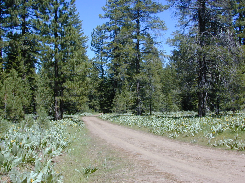
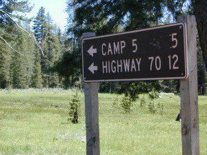
Camp 5 sign

DIRECTIONS:
From California SR 70 (Highway 70) in Portola take West Street approximately 7 miles to the Lake Davis Dam. Park at the information kiosk and get acquainted with maps and the area info.

Drive or bike the lake loop. Travel 1.7 miles west to Forest Service Road 24N10, travel on that for 8.1 miles until you reach the junction with County Road 112. Then turn east and continue around the lake, past the Grizzly Campground a half mile, turn South on Country Road 126 and continue back to the dam.


View Larger Map

Plumas National Forest
Plumas Map USDA


DSCN0077


21S05 – Sequoia NF

the needlesThe Needles:
Forest Road# 21S05

Giant Sequoia NM

hikerFrom the small cabin community of Ponderosa, CA, continue N on the Western Divide Highway. Dirt road# 21S05 will be a right turn, a graded route that leads to a dirt parking lot for hikers.

The trailhead for the granite Needles is a favorite among rock climbers in the Southern Sierra Nevada. The easy 4.5 mile hiking trail is numbered 32E22 & leads out to a historic fire lookout tower, overseeing the Kern Canyon (& Road 22S82) below.

Needles Fire Lookout
(destroyed in structure fire 2011)

DEC-MAY: Winter road closure is common, due to snow and muddy road conditions.

Sequoia National ForestNFSlogo

bone creek
Secluded Camp w/ Waterfall on Bone Creek

camptruck

Trail of a Hundreds Giants

Balch Park, Sequoia Grove

Dome Land Wilderness

Golden Trout Wilderness

Sequoia Camping on back roads

Sequoia Campgrounds & Camping

Kern River Camping

sierra roads

nearby towns:


Lakes Basin Recreation Area

Lakes Basin Area, California

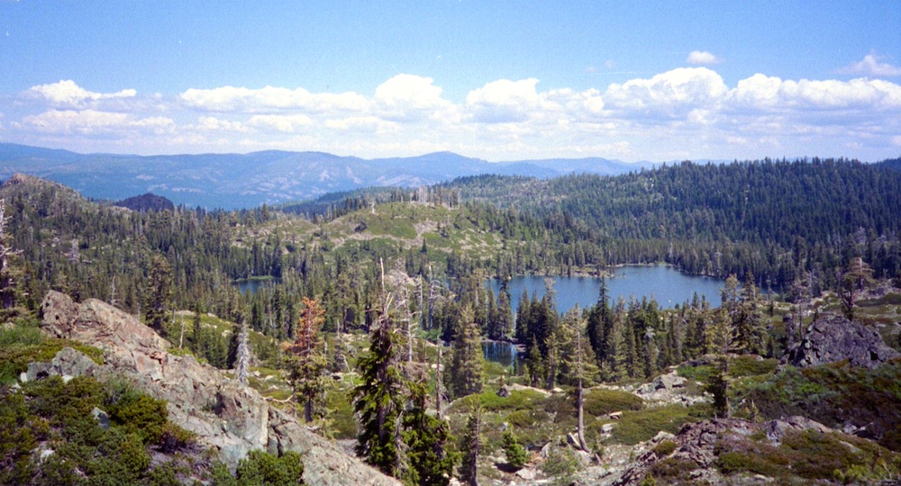
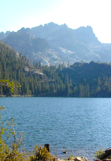
Golden gems of California, a collection of alpine lakes on the north end of Historic Gold Country, North Yuba River, Northern Sierra Nevada

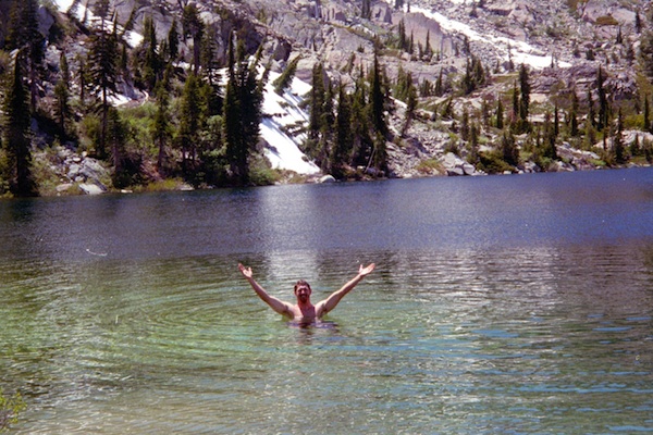
lake dunk
EAST of Downieville, CA

California’s Gold Lake and surrounding lakes; the granite spires of the Sierra Buttes and the creeks, waterfalls, headwaters of the Yuba River — total wild beauty. Steep, granite, river canyon from Downieville drive east on Highway 49 from Sierra City to Bassetts, a gasoline and market stop; they have a small hotel there too.

Historic Lodges

Take the left turn, north on to the Gold Lake Highway. The alpine and extremely scenic Lakes Basin Area consist of all small lakes in between Hwy 49 to Hwy 89, along GOLD LAKE HWY [Road S620] some maps read Road #24 or call this Gold Lake “Road” instead of highway. Snow closes in this route during winter months.

The impressive Lakes Basin Gold Lake Region is in the north part of Tahoe National Forest, on the border of Plumas National Forest. Plumas Eureka State Park is also nearby.

Hiking, Camping, Backpacking, Picnicking, Wildflowers, Stargazing, Fishing, Kayaking, XC Skiing, Snowmobiling

Lakes Basin Map

Lakes Basin Campground

California best lake destinations

lakes basin views

Lakes Basin Recreation Area

Sierra Buttes Map


1N02 – San Berdu NF

Heart Bar Camps

Heart Bar Camp: Forest Road #1N02 – San Bernardino National Forest

Heartbar Campground, Heart Bar Horse Camps, RV Dispersed Sites, Coon Creek Cabin. SE of Big Bear Lake; Hiking & Equestrian Trails

horse camp hikes primitive camp sites

Hwy 38 , the long way into Big Bear Lake, up thru Angelus Oaks CA. Heartbar Campground is a developed recreation area, right up front. 94 camp sites, plus the recreation all around. Big equestrian area.

HART BAR: Heart Bar is large pine valley w/ alpine meadows, great camping, San Gorgonio looms overhead with ridges of 10,000′ elevation.

Heart bar campsites

yellow post camps

free, dispersed, primitive camping
in Southern Cal

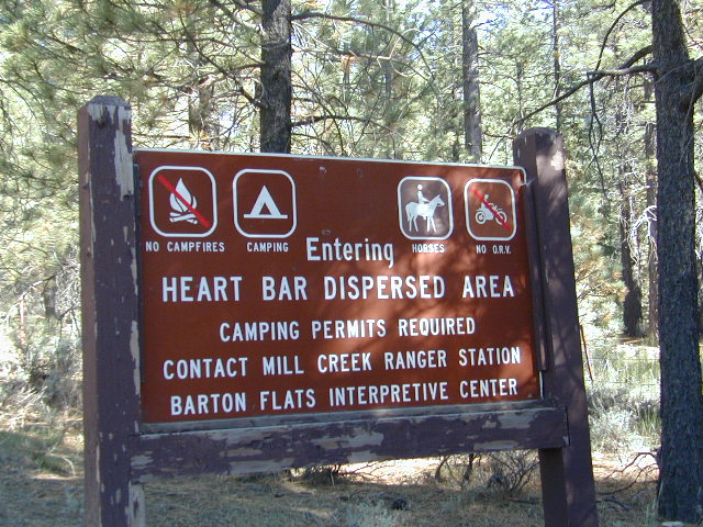
HEART BAR DISPERSED AREA

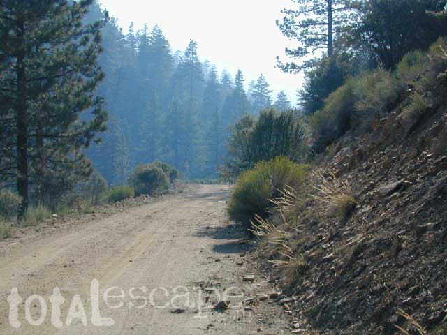
Forest Service Rd #1N02 – the dirt road is graded & maintained, about half the year. Primitive camp sites require permits; see local rangers. Many forest roads can close due to heavy snow, big rain or rock slides. Best traveled in the warmer months. Winter can be questionable with open gates and road access.

bigsign

site14

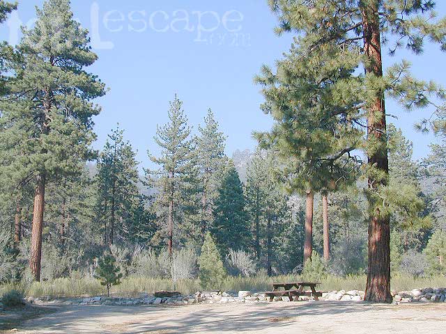
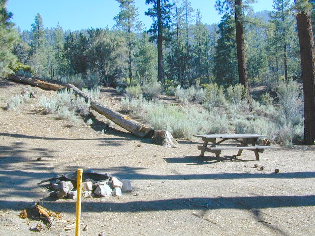
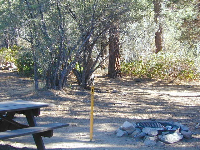
Large open sites, with tables & moderately level dirt access. Seen RV campers way back here. RV’s beyond 30′ are not recommended. At end of this 5 mile dirt route is a hiking trail to Big Morongo Canyon & a really neat historic place called the Coon Creek Cabin.

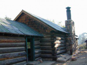
Coon Creek Cabin

Totally worth a visit, if you plan on driving to the end of the road – just for the heck of it. Cabin area can be reserved for small group camping in summer months.

COON CREEK CABIN reservations
909-794-4861

San Bernardino forest maps:

nearby mountain communities:
nearby cities:
  • Mentone, CA
  • Redlands, CA

site12


California Mountain Maps

The Mountains of California

Camping El Dorado NF, on the Consumnes River

If you know you wanna head up in elevation, higher altitudes – to the pine forests of California, but have no clue where to start, this page may be very helpful in determining your ultimate destination. We have hundreds of pages on adventures & locations throughout the golden state. We sell all California maps for outdoor recreation, hiking topos to off road routes.

Wanna camp under the stars this weekend – and avoid the crowds too? You will need a good back road map to find this awesome camp site, guaranteed. Need a hammock spot, small swimming hole & total seclusion? Or how about a large family camp w/ Sequoia grove nearby? Total Escape has something for every ones budget & lifestyle. See below for an extensive breakdown of California mountain regions.

#1
SoCal mountains have tighter restrictions on campfires, larger number of people camping in a smaller amount of space, minimal primitive camping options in the forests, more fees to access these lands.

#2
The Sierra Nevada mountains are the prime outdoor destination for many in the Central California region. High elevations w/ granite slabs to lower country reservoirs & riverside oak flats. Folks come from all over the world to visit parks and lakes within this mountain range. Indeed, 4 National Parks call the Sierras home: Lassen, Yosemite, Kings Canyon and Sequoia NP – not to mention the 10 National Forest and 15+ Wilderness Areas.
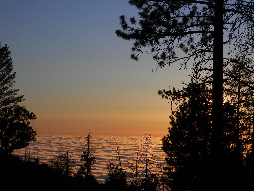
#3
You want big water? Cabins next to a prime fishing river or camping near lakes, creeks with dense forests, then you will have to drive to the mid Sierra or even NorCal to find ’em.

Wilderness maps

California Mountain Regions Defined –
find the details on specific region for California mountains

saabaru_forest
Mountain Home Sequoias

epic finds

Find little known parks, camps and forests within our vast California BACK ROADS data base. Below is a small sampling of our picturesque mountain pages, where you can find the best seclusion: hiking, camping, fishing, mountain biking trails, rivers, creeks and peaks.

NFSlogo

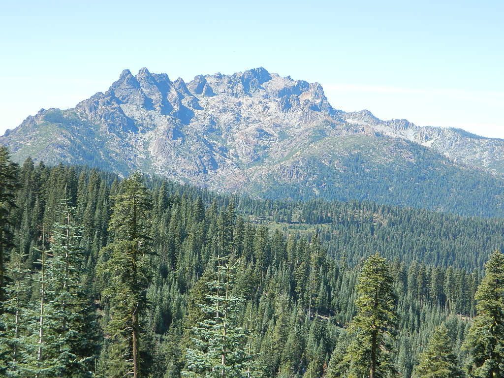
Sierra Buttes
The Sierra Buttes, Northern Sierra near Gold Lake

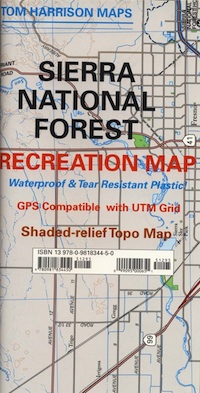
sierra National Forest map

Outdoor Recreation Maps of California:

inyohighroad
Inyo high roads, of the Eastern Sierra


Cottonwood Campground

High Sierra access:

Cottonwood Lakes / Horse Camps

Cottonwood Pass – 11,200′

Cottonwood Lakes Campground, Golden Trout Campground & Horseshoe Meadows Campground… all next to Mount Whitney. This is a prime side option for Whitney & Southern High Sierra packing. Perfect for equestrian travelers, backpackers & day hikers.

Sitting at Tuttle Creek Campground at dusk, just outside of Lone Pine , in the Eastern Sierra – you may have wondered what the hell those lights were. Way off in the distance – to the south. Way up high.

There must be another road that also heads up into the Sierra’s. Yep! Go find this special valley. It is well worth the drive, even for just a day trip. A long and winding drive up from Hwy. 395, in Lone Pine CA – take Whitney Portal Rd up to Tuttle Creek Campground, see the road called Horseshoe Meadows Road on the left. Take it, all the way up, you will be glad you did. Allow hours for the drive, views, hike, & the picnic. It’s bear country so be concerned about your food. Use bear lockers, even for day trips.

mdws1

Cottonwood Campground is located in the Inyo National Forest , this area is just south of Mt. Whitney, is by far much quieter than the masses at the Portal. Although camping is limited to a ‘one nights stay’, the terrain is spectacular with ample parking for backpackers, sightseers & horse trailers alike. The paved switchback road is steep & long, to say the least. RV are not recommended on this Eastern Sierra Horse Shoe Meadows Road.

This area is definitely geared towards Sierra backpackers & equestrian trips. The parking lots are pretty roomy, plus there is a one night stay limit on the campgrounds: Golden Trout, Cottonwood Lakes, Horseshoe Meadow. New Army Pass & the Golden Trout Wilderness are both accessed from these high Sierra trail heads. Meadows up here are large & lined with pines. They can range from lush wildflowers to golden dry. Granite, horses & high elevations!

newarmypass
Trailheads to the High Country Sierra

walk-in camp sites:

These campgrounds up here are large and spacious with walk in access only. A common parking area is shared, along with the community fire rings & steel bear boxes. Wide open areas with tons of room for star gazing. The camp areas are not considered secluded. Very open skies & perfect for stargazing.

These camp sites are designed for overnighters preparing for their backpacking ventures into the nearby Sierra wilderness. This high altitude mountainous area closes for winter snows (anytime between October-May) & the campgrounds/trail heads will not be accessible. If road is open in early Spring, I imagine the cross country skiing & snow shoeing would be incredible in those huge meadows. Sierra wildflowers are abundant on certain years.

From Hwy 395 & Lone Pine CA, take Whitney Portal Rd. up to Horseshoe Meadow Rd & turn left. Follow this long & steep road due south hugging the mountain’s edge. This steep winding entrance will take you to some spectacular views over the dry desert Owens Lake & Lone Pine. Then turns sharply west headed straight into the pine filled Southern Sierras. This region is so high in elevation that you can actually see ‘tree line’. At 10,000′ alpine glory, this is prime backpackers country. Exposed granite mountain peaks loom above the tall ponderosa pines.

INYO National Forest: Cottonwood Lakes Campground

campground elevation spots vegetation toilet water fee
Cottonwood Campground 10,000′ 100+ ponderosa vault none yes
parking
Common Parking Lot

LONE PINE CA; Lone Pine Camping
Inyo National Forest
Mt. Whitney Ranger District
760-876-6200

Camping Cottonwood
Camping Cottonwood @ JTNP

ADDITIONAL COTTON:
There’s more than one Cottonwood Campground in California.

JTNP – A more popular spot is the Cottonwood Campground, on the south end of Joshua Tree National Park, near the Interstate 10 park entrance. Click here for camp information.

ABPF – Cottonwood Canyon –  4×4 accessible route which leads to aspen grove and old cabin, on the eastern side of the White Mountains and near the Ancient Bristlecone Pines. Cottonwood Basin is a result of Cottonwood Creek, which flows east toward the state of Nevada.


Winter Wheelin

winterwheelin

Winter wet weather doesn’t need to put a damper on your outdoor exploring, if you can get your hands on a 4×4 vehicle. Almost any SUV or truck with 4 wheel drive is capable of driving through some snow or mud. Just how deep is the mud (underneath the snow) is usually the big question. Many National Forests and State Parks close certain dirt roads due to over-use, or to control soil erosion and prevent the deep muddy ruts which are costly to re-grade come springtime. Call ahead to the rangers to find which back road routes are indeed open, or bring your printed topo map and wing it.

California Road Trips

The California destinations listed below are popular winter spots for off roading enthusiasts. Some places may be busier than others. The dirt roads surrounding these spots are real treasures, so try to plan an all-day loop trip if possible. Camping w/ a campfire permit is an option on many back roads. Plenty lodging in nearby small towns if winter camping is not your thing.

ghost towns

Bodie State Park
Randsburg Mining District
Calico Ghost Town
Ballarat in Panamint Valley
Skidoo @ Death Valley NP
Barker Ranch, Goler Wash @ Death Valley NP
Panamint City @ Surprise Canyon
Cerro Gordo – 4×4 Inyo
Oatman, Arizona

California Road Trips

hot springs:

primitive tubs
hot springs resorts
hot spring campgrounds

fishing spots

Green Creek Road
Walker River
North June Lake Loop
Trinity River

California Road Trips

California Mountains, Viewpoints & Fire Lookout Towers

Bald Mountain, Shaver Lake
Cuyama Lookout, Santa Barbara Canyon, Ventucopa, CA
Coyote Flat, Bishop, CA
Los Padres National Forest
Mount Pacifico, Angeles Forest Highway
Upper Lytlle Creek, Wrightwood, CA

see – NFS Cabins Rentals & California Fire Lookouts

California Road Trips

Indian Casinos

Tribal lands are mostly located in rural regions which always have plenty of dirt roads to explore. Get a good back roads map for the public lands nearby, parks, BLM, National Forest. If the overnight camping is dropping into the twenties or teens, then know the forecast. A good rule of thumb for California hotel stays: If the low temps overnight are below the cost of a hotel room at the nearby casino, the comfy lodge might be well worth considering.

Avi Casino
@ California – Arizona border.
The Laughlin casino in the middle of nowhere, right on the Colorado River. Jet ski rentals, swimming pools and spas, restaurants, RV park. The historic Mojave Trail, aka Mojave Road, starts next to the property.

Gold Country Casino
@ Lake Oroville, California
Sierra Nevada mountains Northern California. Conveniently located near Feather River (all 4 forks) and Plumas National Forest, with Berry Creek and Bucks Lake Wilderness to explore. Snow often closes the highest elevations.

Viejas Casino
@ Pine Valley, East County San Diego
Great bouldered mountains with back road exploring, hiking, mountain biking trails, all easy access from Southern California. Get a Cleveland National Forest map and expect some road closures near Laguna Mountain Sunrise Highway, especially when it snows.

Diamond Mountain Casino
Susanville, Northern California
Located in between US Highway 395 and Mount Lassen, the scenic Susan River region has lots to offer for the outdoor enthusiasts. Plenty of roads to explore, some big lakes too. Many Forest roads could be closed due to snow, so be warned and call ahead to the ranger.

Native Californians

Indian Rock Art
Petroglyphs are found in numerous locations throughout the deserts of the SouthWestern US. Inscription Canyon Mojave. See more on Native American rock art or explore photos.

California Road Trips

California Beaches
Oceano Dunes, Pismo Beach
Lost Coast, Northern Cal Redwoods
Black Sands Beach, Shelter Cove (open to foot traffic only)

California Deserts

Anza Borrego Desert State Park
Joshua Tree National Park
Box Canyon @ Mecca Hills
Mojave National Preserve
Canebrake Road, Kern Mojave
Black Canyon, Barstow, CA
Panamint Valley, near DVNP
Death Valley National Park
Bodie State Historic Park

California Off Road Parks

These are parks that specifically offer trails and obstacles for off-roaders. Entrance fees and camping fees are usually charged at the entry gate.

Off Highway Vehicle Areas (OHV)
State Vehicle Recreation Areas (SVRA)

Other Off Roading Options

The whole Carson City area in Nevada has some excellent dirt roads to explore. Old mines, caves, many miles of pinyon forests. Lake Tahoe is nearby with luxury resorts, casinos and snow skiing.

If you just can’t stand the cold and snow, then warmer climates lie to the south. Baja California is a tourist/traveler and off-roader haven in the wintertime.

Holiday Wheeling
Jawbone Canyon for Thanksgiving weekend will get dirt bikes by the thousands and big families. Christmas is busy around the Palm Spring desert destinations – like Joshua Tree. Easter weekend is popular w/ wildflowers and campers in Anza Borrego Desert.

RV camping
Occasionally, wide graded dirt roads lead to secondary routes, so overnighting it with a motorhome on the back roads is very possible (if deep mud is not present). RV camping is quite the tradition for Southern Californians. Desert off roaders in tow, all over the Mojave. Steer clear of busy family groups. Pick a lesser known area to camp and explore. Get your real topo maps out and choose easy access from pavement, but wide graded dirt roads are best. Plenty roads like this in the Eastern Sierra, on the east side of US Hwy 395. RV campers that follow Total Escape might very well be interested in testing the limits of their recreational vehicle, slowly.

AWD Sportwagons
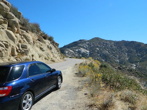
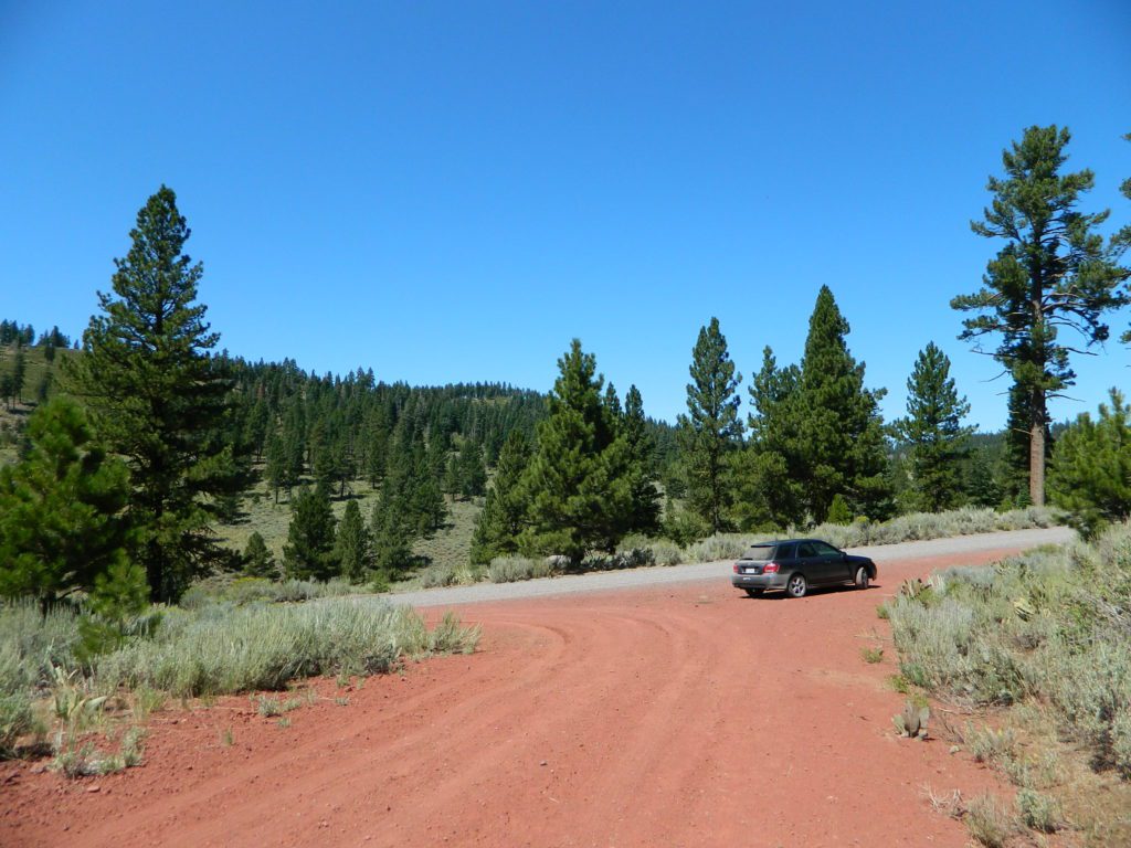
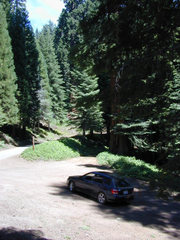
Before AWD got marketed as 4WD, Total Escape was way out there exploring in a 2 wheel drive and posting it online for you. All wheel drive station wagons should stick to the paved and plowed roads. If you plan to do a lotta dirt road driving in the old Subaru, keep the rock crawling to a minimum. If not, you may want to invest in a skid plate for the oil pan. Nothing beats first hand experience and learning ahead of time how your car will behave before you loose control on icy dark steep roads. Go practice with the emergency break and get the vehicle in a wide open snow plowed area if possible, just avoid the temptations to get wild. Don’t get the doughnut urge and plant yourself in a tree. Remember, it’s not like the commercial showed us, those are closed roads they are filming on.

Snow Chains
If you plan to be off roading in snow or mud at all you might want to consider some important safety items: tire chains for snow, a tow strap and tire plugs for flats. If you own a high clearance 2WD SUV, you could benefit from running chains on all four tires when snow is present. How deep the snow gets and how steep the hills are, determines how far you can go without a real 4 wheel drive. Some choose to rent a 4WD for the weekend road trip.

Snow Plow - the first pass
Snow Plow First Pass

Carry these items when traveling in winter conditions:
tools, jumper cables, tow strap, emergency gear, first aid kit, real boots, extra clothes, blankets, flashlights, food, drinking water, cell phone, maps


California Reference
California Road Conditions
California Weather
Sierra Highway Conditions

and just imagine when you can’t get past the deepest snow, it is time to try California Snowmobiling

20N01- Mendo NF

20N01

Forest Road #20N01 – Mendo National Forest

Road 308 Ivory Mill Road. Located on the EAST SIDE of the coastal mountain range, west of Stony Gorge Reservoir.

South Fork of Elk Creek, California

Lodoga Stonyford Rd #306 – also known as just plain Stonyford Road, skirts the coastal foothills in a north south direction, on the east side of the range. Oaks and ranches, livestock grazing and fences everywhere. CHP out in force, so watch your speed (55). Public lands and forests are up the hill, above the valley, on the dirt roads. Free camping, off roading, hiking, creeks, lakes, mountains.

Drive up paved Road 308 passing the ranch lands and private properties.

Just inside the National Forest boundary, 308 peels off sharply to the left, uphill and steep, super sandy. The views over the valley, hills and reservoir are epic, but the dirt road is fluffy dry dirt, tight curves, no guardrails. A long and winding track, with very little spot to turn around. Maybe designated as OHV route?

This whole area is where the Ranch Fire of 2018 was burning; contained at road 308. The wildfire burnt half a million acres in Mendo NF (the largest fire in California history). Some of these roads may be closed off now. Call the rangers for current, up-to-date accessibility!

So… back at the National Forest boundary: Straight. Take the right fork instead, which goes straight into the forested canyon, up the creek. Elk Creek, south fork coming from the higher peaks above. This pleasant forest drive is called Mendocino Rd #20N01 and it climbs upward with hairpin turns; continues up to the top of the forested ridges @ 5000’+ elevation.

Forest Oaks Mendo

Wildflowers in Spring. Snow in winter. This back route may have been paved once in 1960, but it is nearly back to dirt again in most sections. Suitable for passenger car travel at slow speeds. Unless of course, it is raining or snowing, then 4WD may be best. And being that this is real Northern California territory, rain and snow are annual.

Campfires on the Back Roads
SPRINGTIME: Free Camps and Campfires on the Back Roads

Dispersed camping is allowed in this region with a valid fire permit.

Various camping spots near roadside, after mile 8. Reset trip meter when your turn off main drag (Lodoga Stonyford Road).

Mendo National Forest
Mendocino National Forest Map

Snow Mountains Wilderness
Fouts Springs

towns nearby:

Alder Springs
Elk Creek, CA
Stonyford
Williams, CA
Willows, CA

Big Sur Campground

Big Sur Camping Sites & Campgrounds

big sur camping

Plaskett Creek Campground has green lawns, pine trees, & flush toilets. Located across the highway from Sand Dollar Beach, right on Hwy 1. Ponderosa Campground, on the other hand, has native grasses, oak trees, a seasonal creek and is located on a paved back road, with easy access from US Hwy 101

Central Coast Camping

Monterey Ranger District of Los Padres National Forest manages several Campgrounds along the Central Coast. Some are first come, first serve.

aldercamp
Alder Creek Camp
willowcreekrdsign
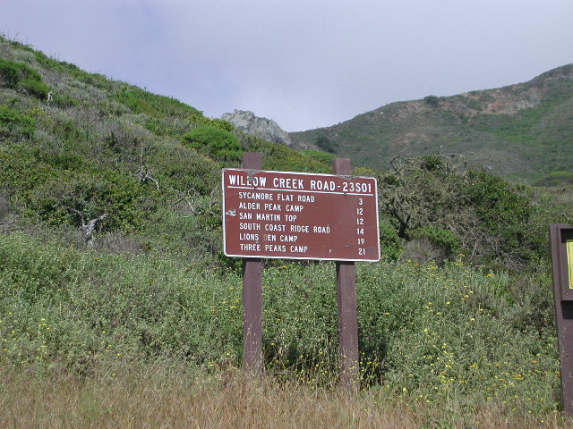
Willow Creek Road #23S01

hikes

Los Padres National Forest

Backpacking trails lead into the wilderness backcountry, along ridge lines with vast ocean views and also deep into fern creeks with redwood canyons. Sykes Hot Springs is a remote destination, if you like to hike, although summer can get crowded. Overnight wilderness permits and campfire permits may be needed.

mcwayfalls
McWay Falls @ Julia Pfieffer Burns SP

Free camping in Big Sur
can be found on dirt back roads:

primitive camp sites

DISPERSED CAMP: No charge camp sites means dirt road access, tighter camp fire restrictions & no facilities (table, bathrooms, fire pits). Campfire permits are required for primitive camping (stoves & BBQ), but unfortunately much of the time camp fires are not even allowed in the backcountry due to extreme wildfire danger.

None of these free camp sites are located on the beach or ocean shoreline. They are situated in the mountains near the coast.  These premium, hard to find camp spots usually require that you venture off the beaten path – w/ a National Forest map or regional topo map. If you want to camp without the tourists and crowds, with excellent views of the coast & the night sky, plus avoiding all fees – then take one of these dirt roads off the main highway & start exploring (preferably before sunset, with a high clearance vehicle).

prewittroads

Free camping California

Big Sur Private Campgrounds –

camp

Big Sur State Park Campgrounds –CA state parks

Big Sur Coastal Towns –

Prewitt Ridge Camping