Traveling Alone
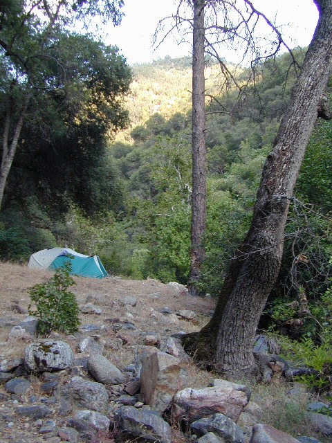
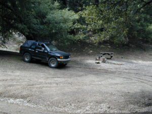
Camping Solo
it’s the way to go… slow & solo
enjoying quality time alone is not weird, wrong, or unnatural, no matter how many strange looks you get from friends & envious co-workers

Stop waiting for someone to do things with. Quit thinking that your best friend or partner will one day magically suggest an outdoorsy road trip, or day hike, or mountain bike ride. YOU are the one who craves the wildness of the earth, the unexplored, the secluded. The time is now for you to start living the life you want, outdoors, in California – today!
maybe it’s time to leave the city, for good
If you’ve just about had it with the pressures of everyday stresses, the wifi city life and the busy pace of civilized society is starting to get to you. Get a clue fast – before you loose your marbles. It’s time for much needed rest and relaxation. Nature is the best place to relax and reconnect with yourself and mother nature.
Looking to relocate to a more RURAL CALIFORNIA?

A change in scenery. A fresh perspective. A real break from the norm. No shopping, no errands, no phones, no television, no computers, nobody around. No one, except you.
and they might call you anti-social…
alone, by yourself
away, distant, solely, detached, free, independent, unique, individually
The Call of the Wild
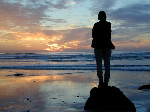
Unplug yourself from the hectic rat race and go exploring. Give yourself time to fully unwind: time to think, time to enjoy the outdoors and really find that special place of peace that comes only from earth. Yes, all by yourself.
VISION QUEST
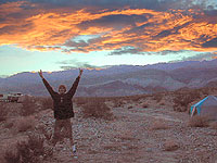
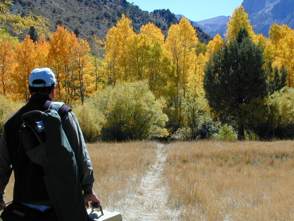
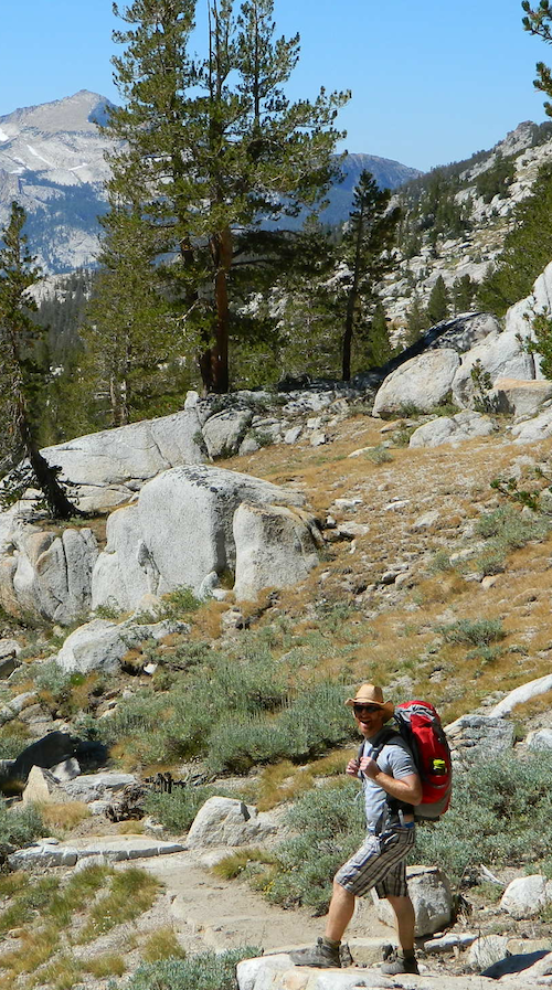
Call it an annual primal ritual, or a first time experiment, traveling solo can be a blessing in disguise. Learning to be alone outdoors, become more aware of the physical world and enjoying yourself is an important key to a balanced life. Whether you seek a quick refresher course for the weekend or a full blown month long road trip, seeking a new comfortable destination and the art of basic relaxing is the main focus for this trip.
slow going
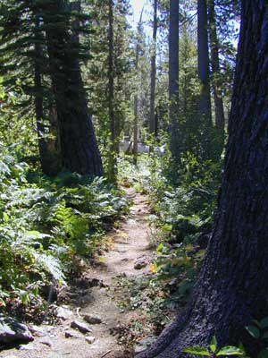
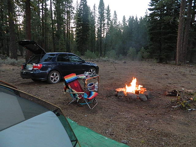
When you travel alone, it’s easy to take your own sweet time. Going slow is something we don’t usually do in our busy city lives. Time is so precious, so you may as well stretch that vacation out as long as possible. Savor the moments.
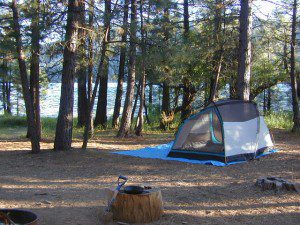
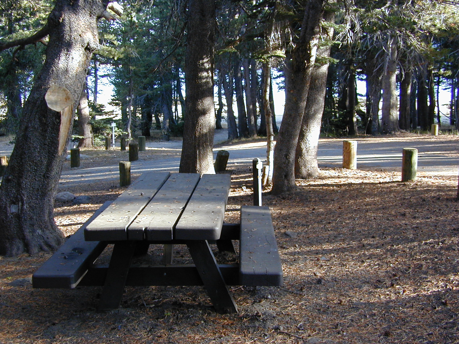
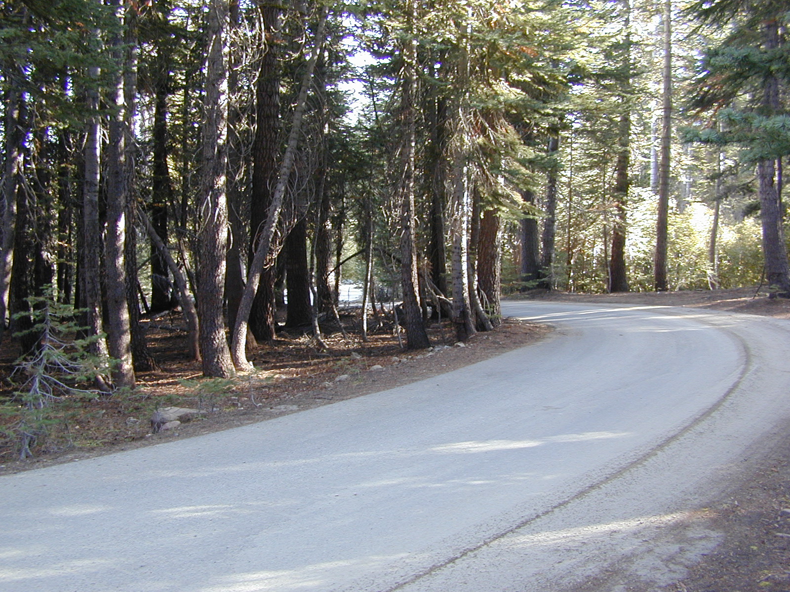
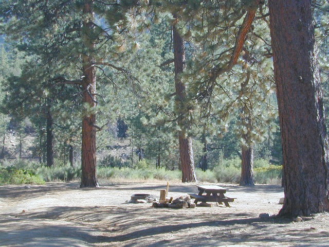
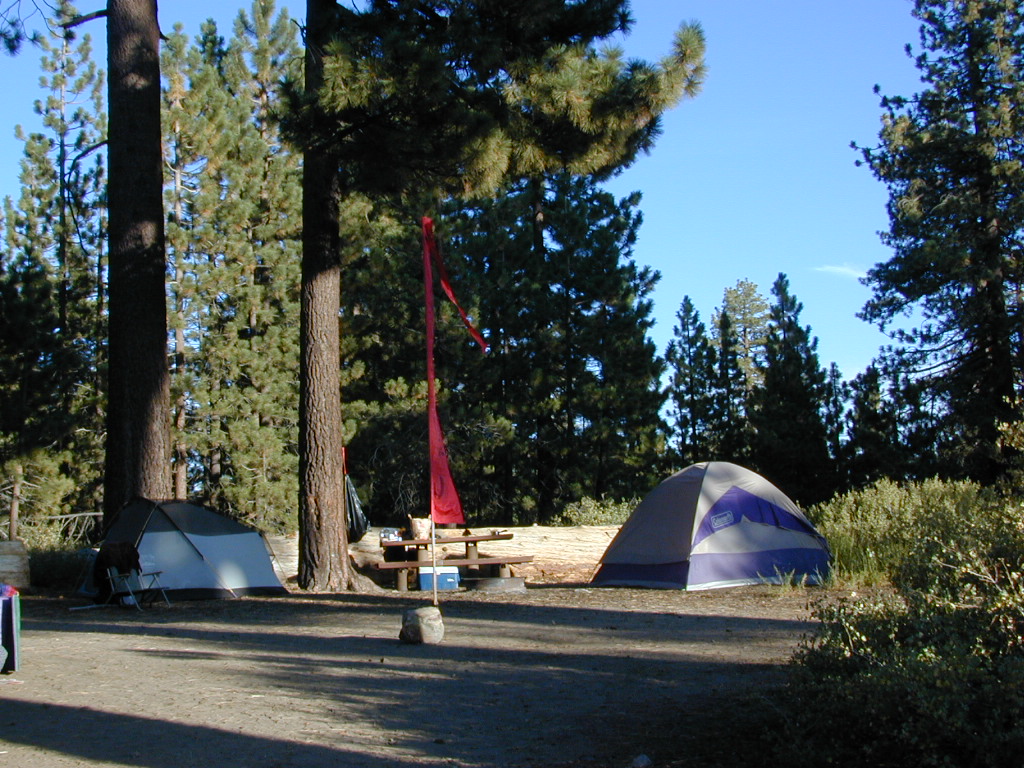
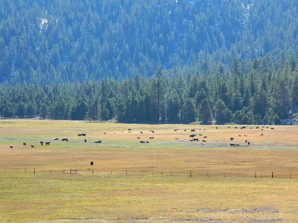
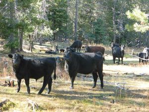
Take as long as you like for – photography, picnicking, hiking, stretching, yoga, cooking and stargazing. Firewood collection becomes the biggest chore of the day, and it could take hours. Walking from camp, every direction will lead to a new adventure. Driving back roads at 20 mph is luxurious. No one to be your back seat driver. Sleep in every day if you want. No pressures, no schedules, no big worries. Sunlight, food, heat, weather, cooking and cleaning. Sit back and learn to really relax. Enjoy a secluded camp site for a full week, and get to know the wildlife on a first name basis.
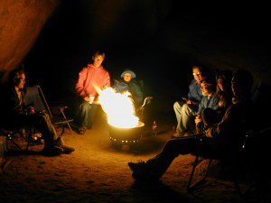
Follow the back roads to seclusion, or reserve several days at a unique campground. Imagine night after night of peaceful rest, with the sounds of nature surrounding you & the stars of the heavens dancing across the darkest skies.
Explore new terrain every day & move to a new camp every night. Or make it a “stay put” week-long meditation, in one spot. Whatever fits your needs. Either way, you’ll enjoy the solitude & the healing powers of nature. Answering to no one but yourself, you may feel guilty or kinda selfish the first few days, but this will fade as you learn to embrace the solo journey.
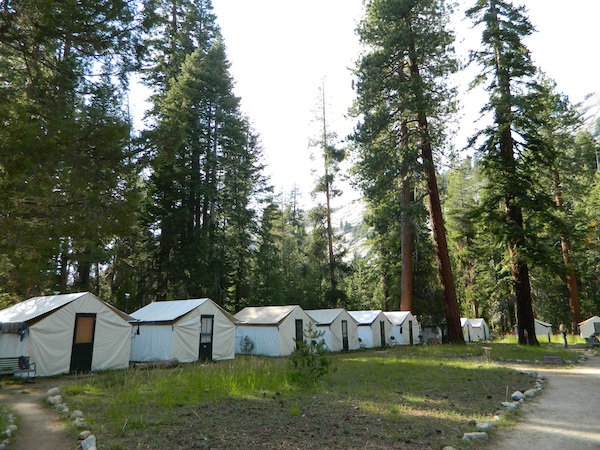
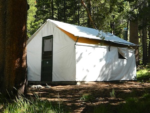
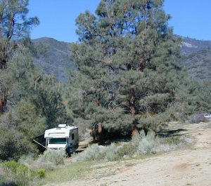
And it doesn’t hafta be all about roughin it either. While backpacking into the almighty wilds of the true wilderness has its good points – along with life threatening dangers possible every day, a simple quick weekend trip to a nearby small inn, fishing lodge, or a bed & breakfast could work for the pampered types. Choose something different and unique, yet know your own limitations (on comfort & on a physical level). Make sure your destination choice is surrounded by some nature and preferably wilderness.
You won’t miss the television one bit!
Spend One Full Day a Week Outside in Nature
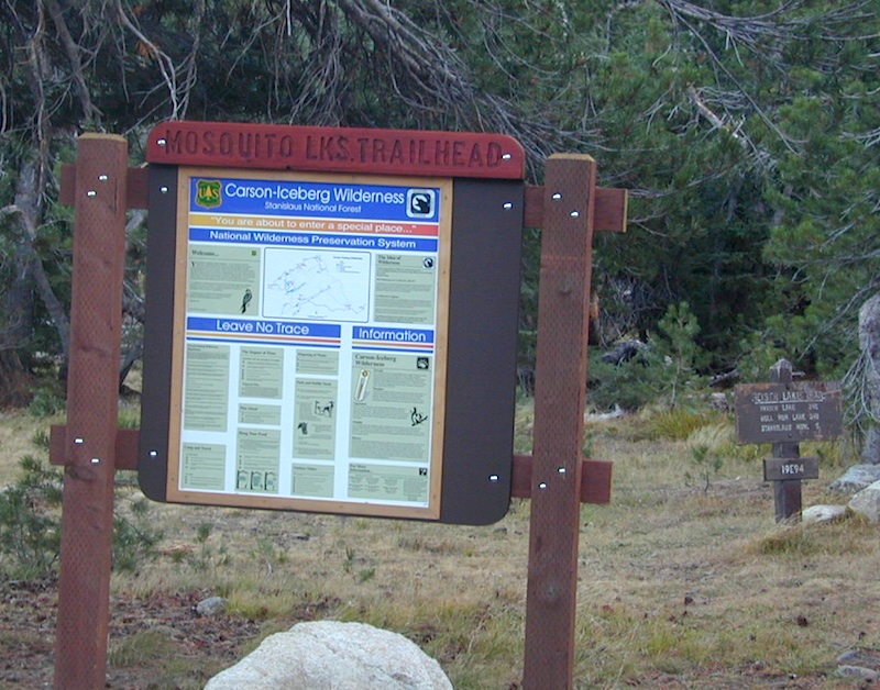
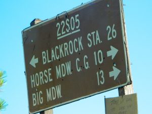
 Good California Maps are a must have! Don’t rely on digital cell service or count on online maps being readily available. The hard-copy versions are always the best back up plan. Old paper maps are the very best, cuz they can often show more hidden waterfalls, trails and old mines than the newer maps.
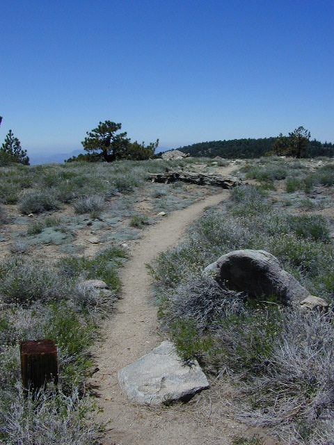
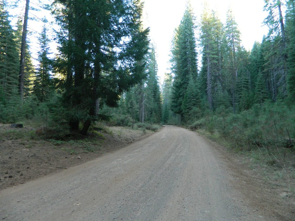
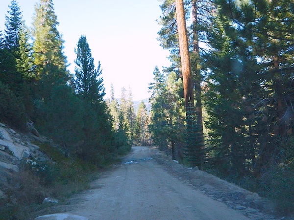
National Forest maps are best for getting and staying away from the tourist crowds. Visit Destinations to decide what kinda place you wanna explore this season.
which is why the golden state population always seems to be increasing, right? Helping you get away from your normal routine and the masses is what we do best here at Total Escape. Discover thousands of pages, photos and links on this site to create your very own unique retreat.
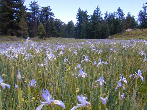
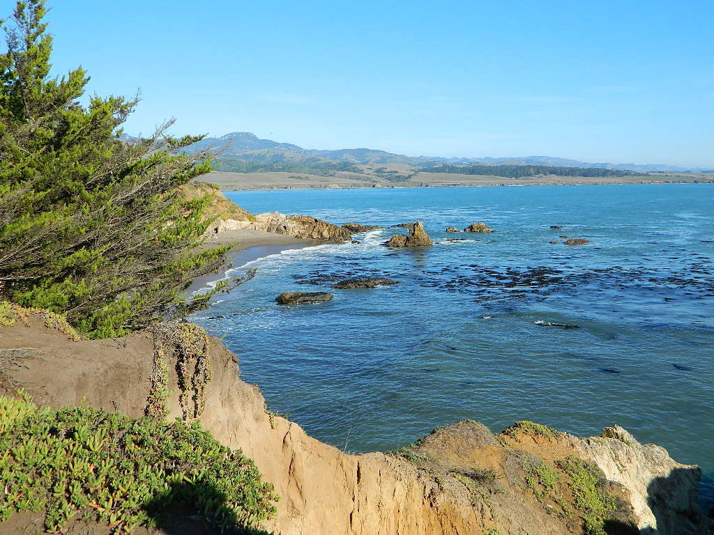
The mountains, deserts, coastal, rolling oak countryside & even urban escape inside city villages, are perfect starting points for planning your little escape. 
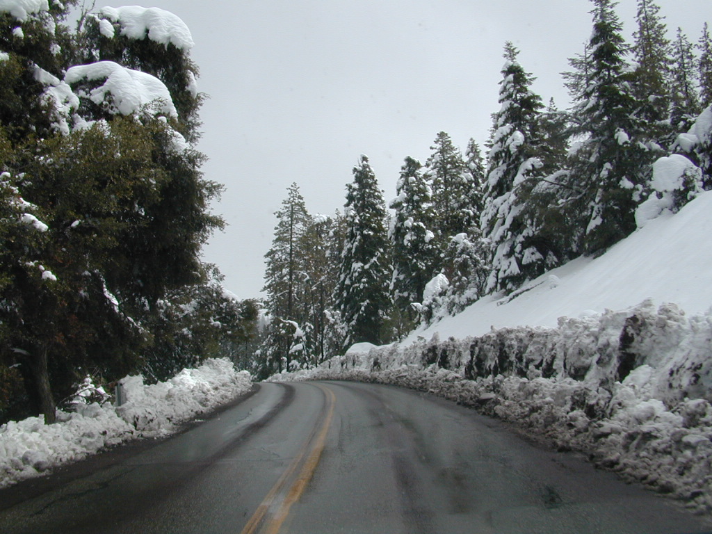
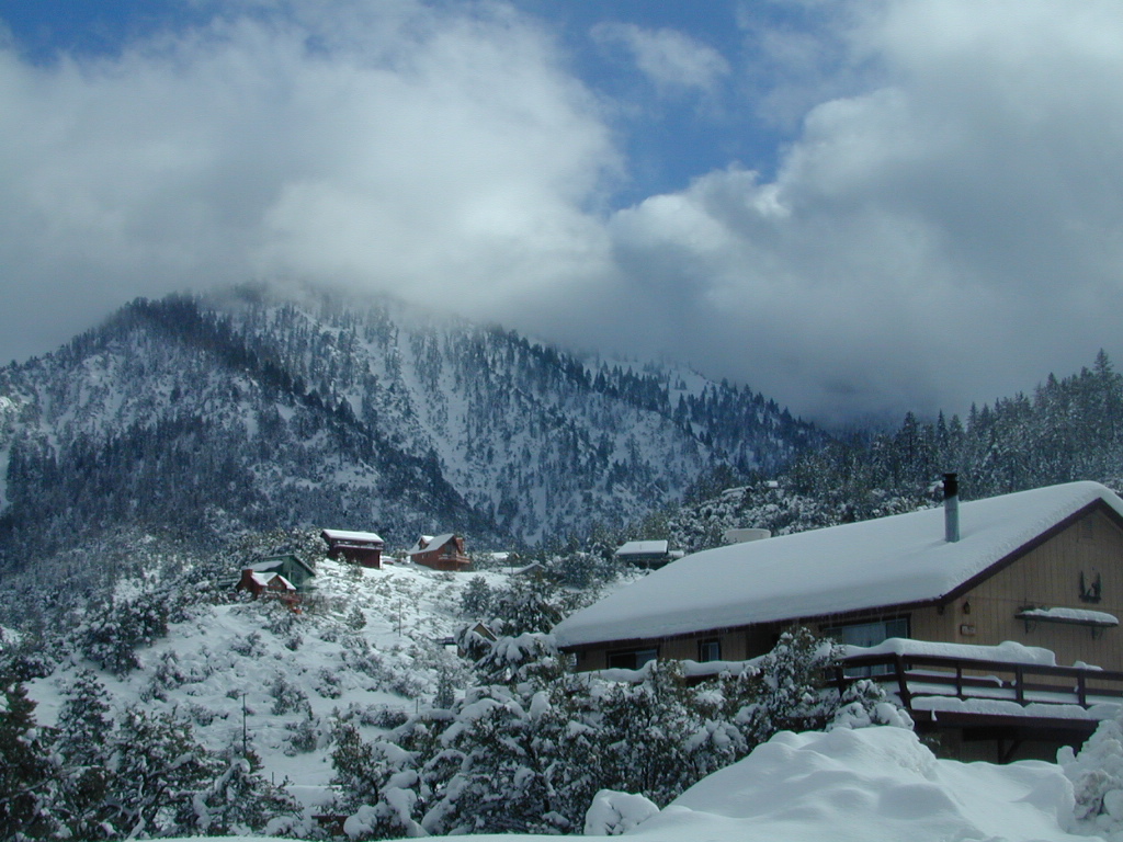
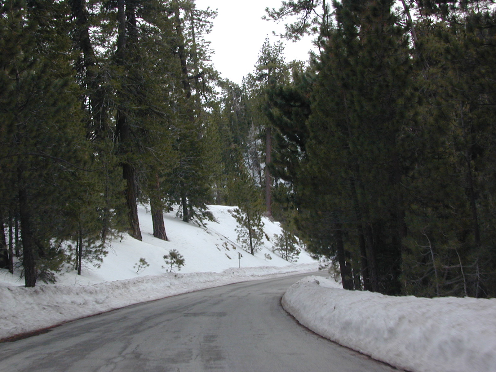
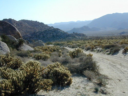
Desert camping in autumn, winter and springtime months is perfect timing for any kinda soul searching, catching up on a good book, or just gazing out at the vast vistas. Meteor showers fall within the latter part of the year, so stargazing and camping is excellent with the new moon. Temps start to drop come September, so be warned. Mountain cabins drop to their off season rates after summer, but be prepared for chilly temps and get proper outdoor gear.
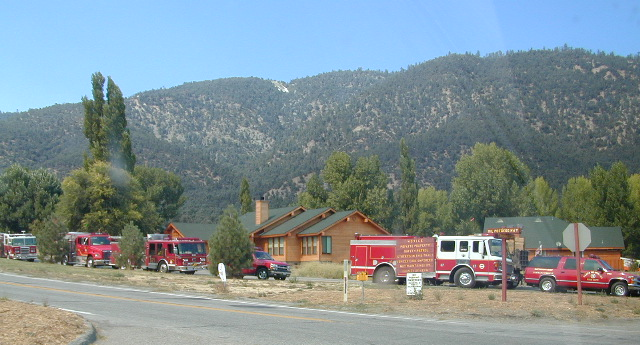
SAFETY TIPS: Give your schedule to someone. Any bit of info is helpful. A map or written itinerary given to a neighbor or close friend will help ensure your safety and timely return. Bring your cell phone, plenty maps, bear mace, a firearm and emergency supplies for additional security.


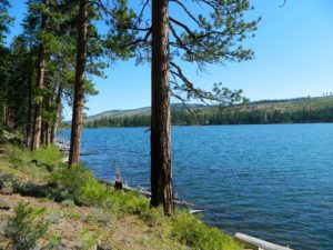
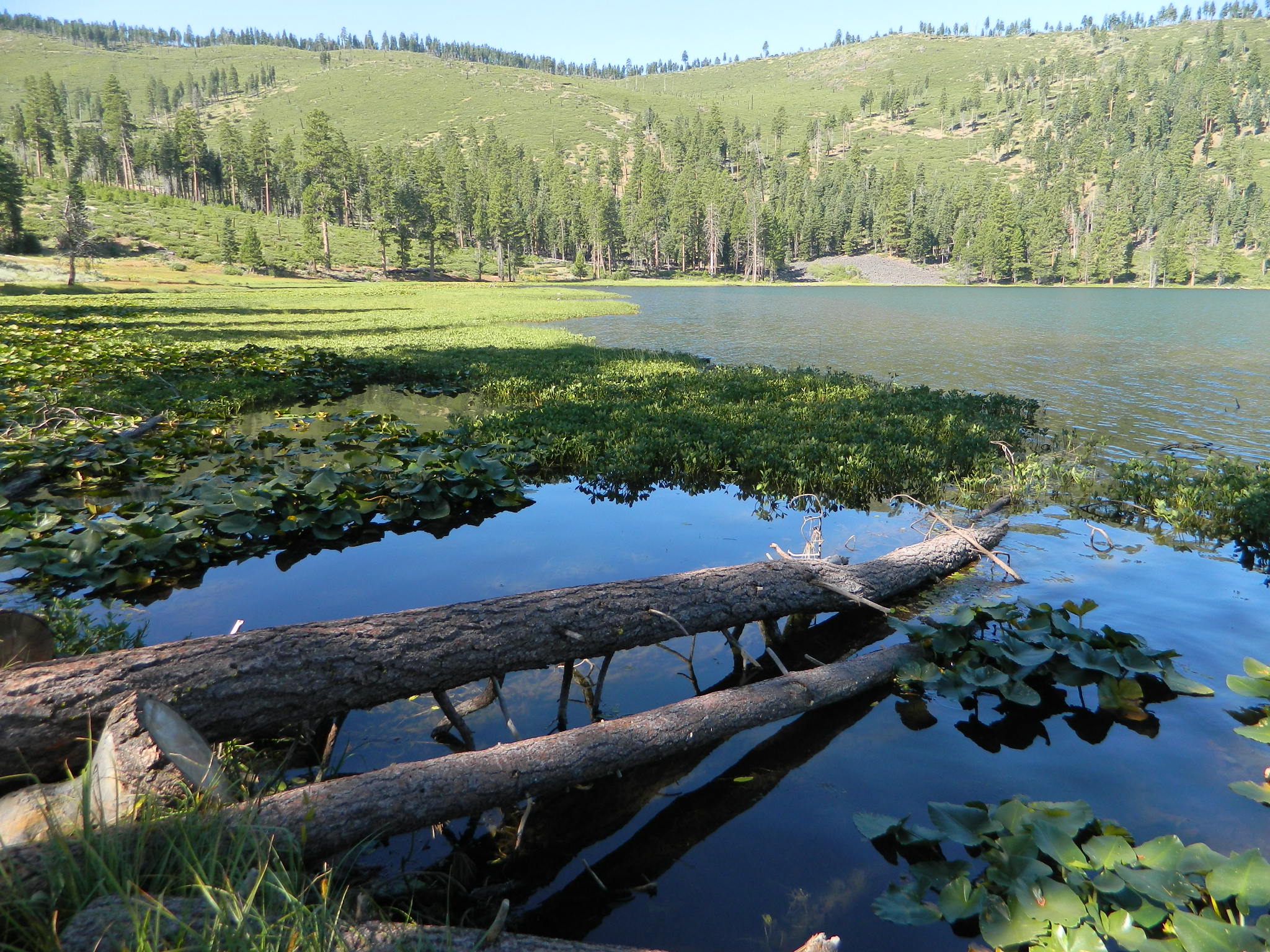


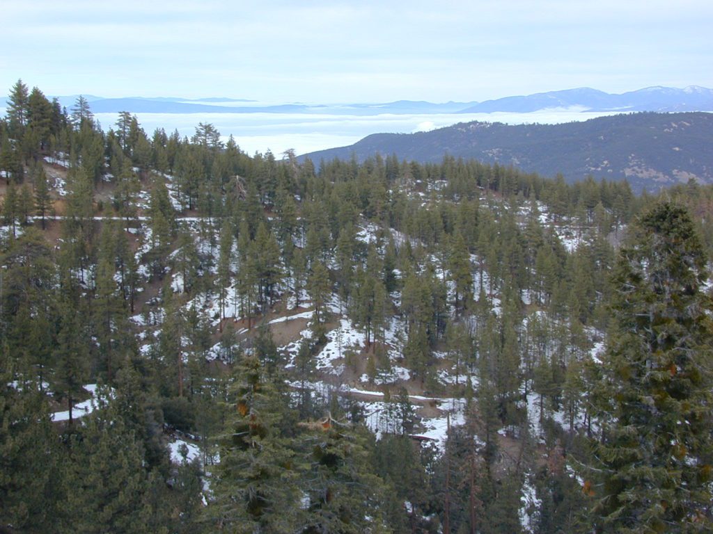


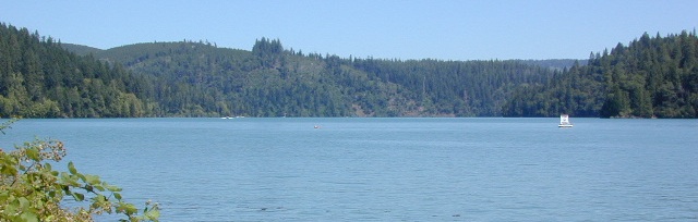


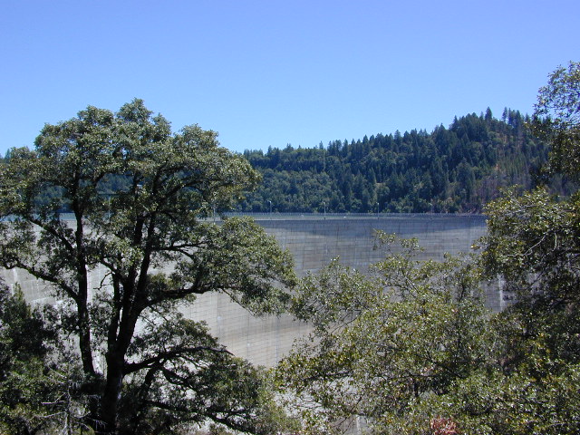


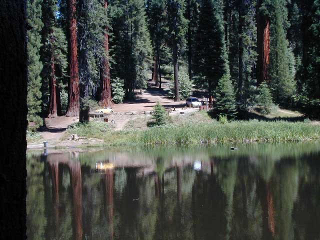
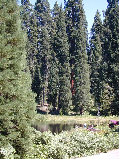


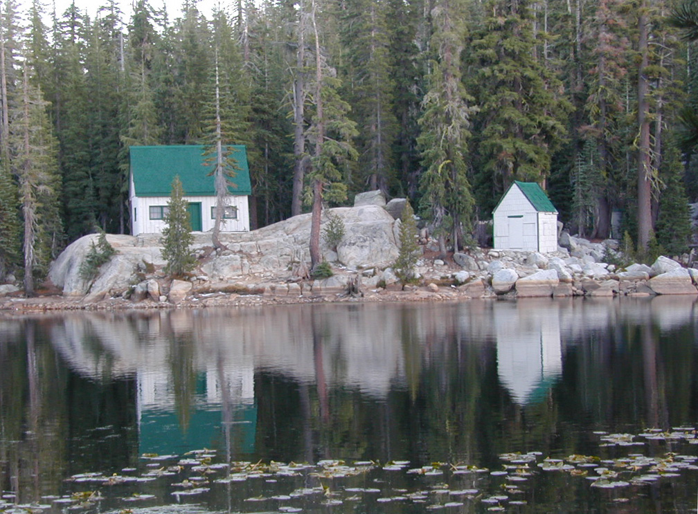
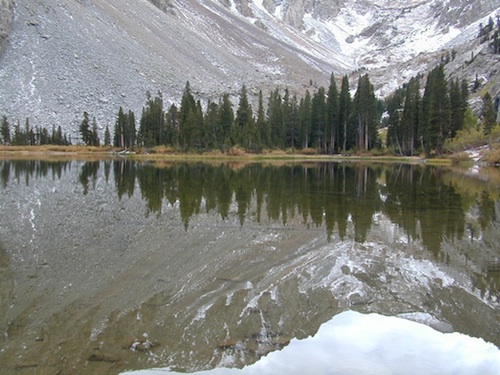
 Northern Sierra Nevada mountains is where the granite rock of the Sierra meets to volcanic rock of Lassen Volcano.
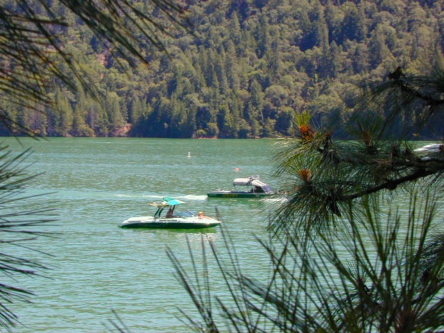
 Technically speaking, the Susan River is the top waterway of the Sierra Nevada mountains.


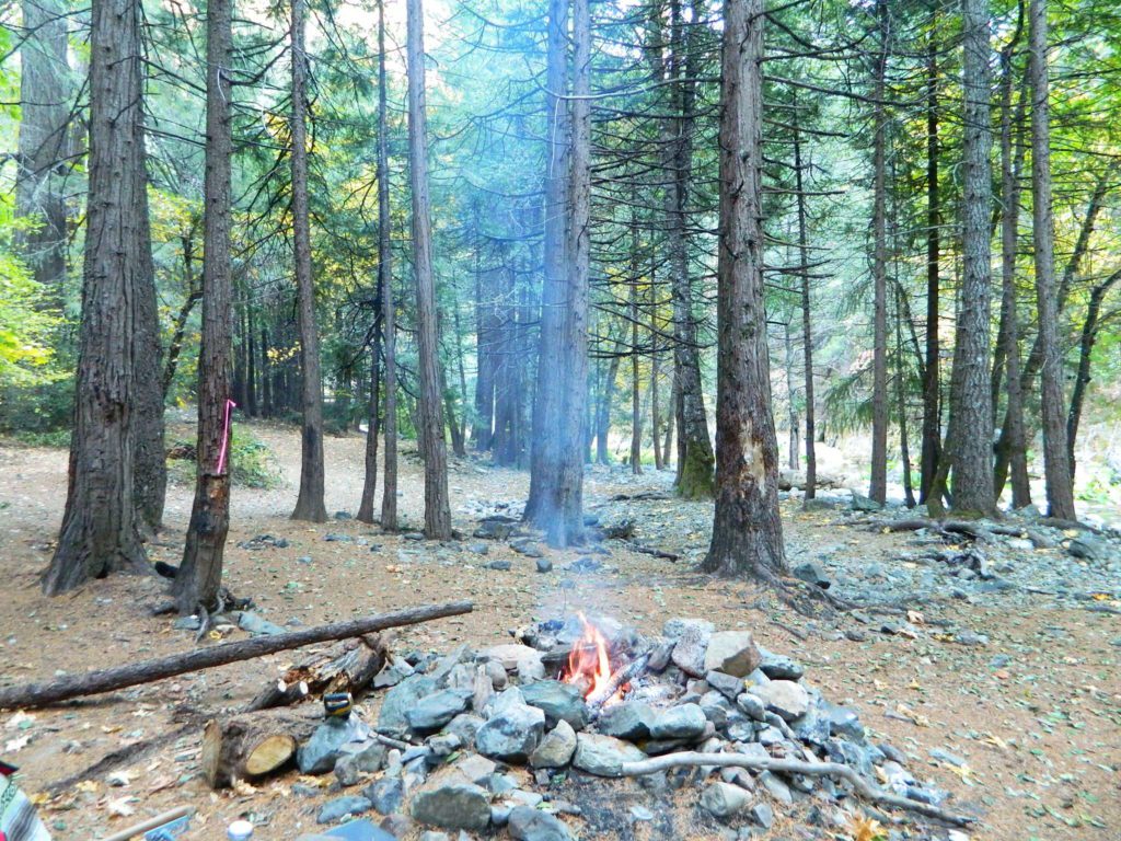
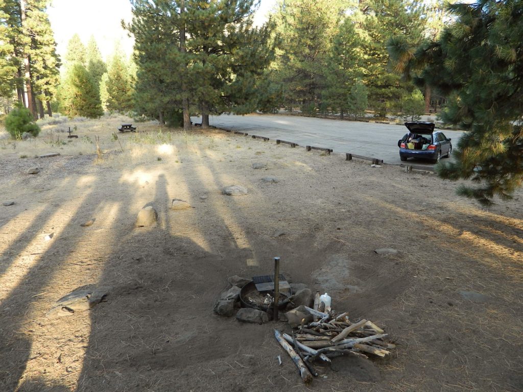
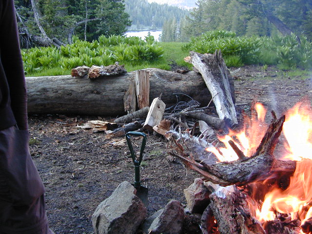
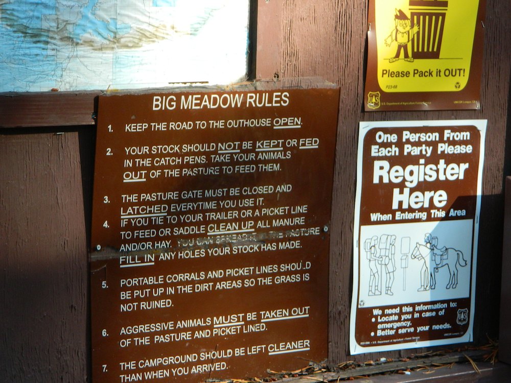
 Pack in your drinking water and pack out your trash. Campfire permits are not required at developed campgrounds; but a bringing a water bucket and shovel is necessary for tending your campfire. Piped water is not always available, or perhaps, not in working order at these primitive style camps. Be prepared to rough it a little.
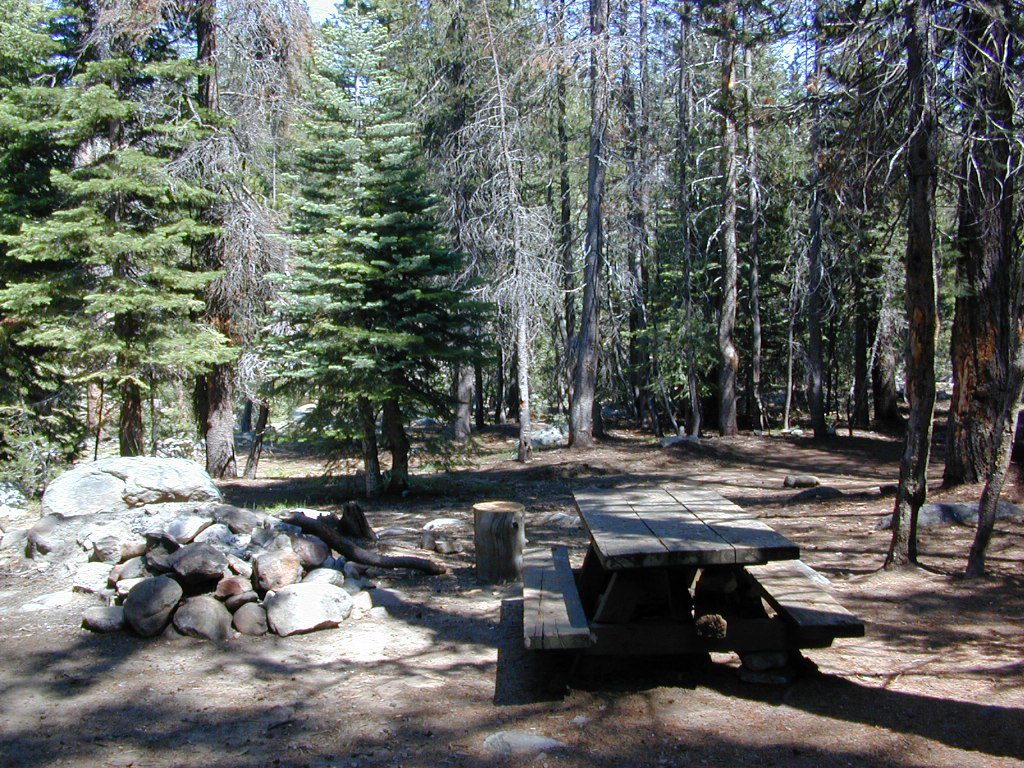


