Mount Pinos Camping & Frazier Park Campgrounds


Frazier Park and neighboring towns, like freeway-close Lebec and Gorman, is where the Los Angeles hills meet the Kern County mountains. Mojave Desert meets to Coastal Range. EXIT I-5 @ Tejon Pass (elev 4144′)
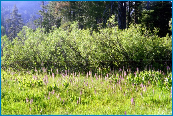
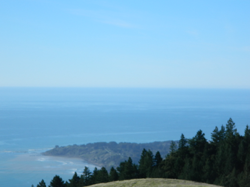
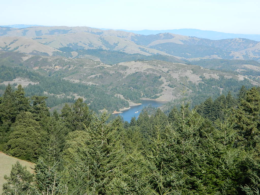
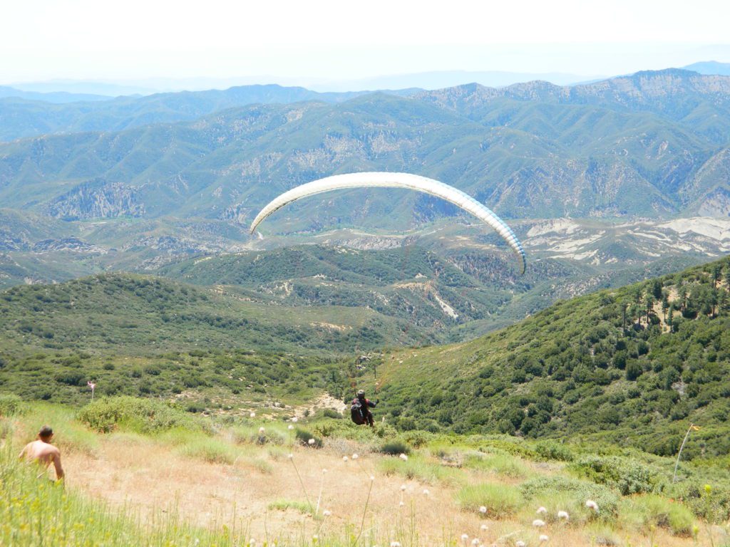
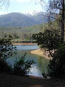
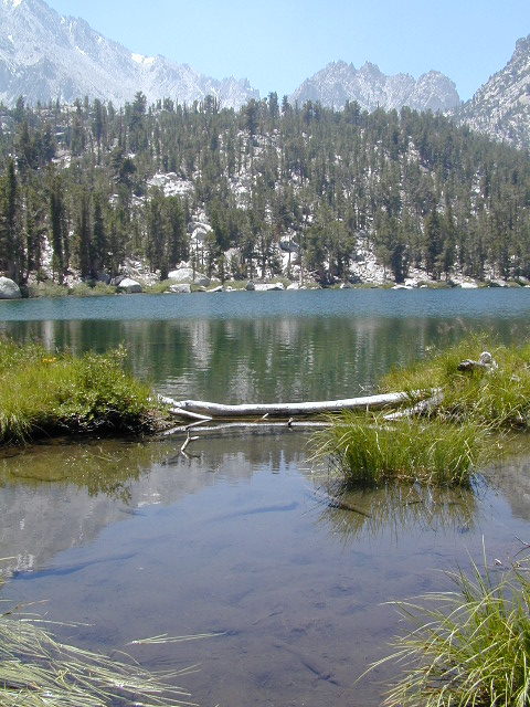
Wildflower hills, seasonal creeks, forested peaks, high desert canyons. Bike trails, hike trails, off road routes. High elevation backpacking, hang gliding, mountain biking and camping in every direction.

High desert washes, oak creeks, pinyon pine forests, mountain meadows and numerous peaks – Frazier Peak, Reyes Peak, Alamo Mountain, Mount Pinos, Mount Abel (Cerro Noroeste) and north facing San Emigdio ridge.
Mt. Pinos District:
| campground | elev | spots | veg | toilet | water | notes |
| Aliso Park, Cuyama | 3200′ | 11 | oak | pit | no | Aliso Cyn Rd. (#10N04) |
| Ballinger OHV Camp | 3000′ | 20 | pinyon | vault | no | Rd# 9N10, Cuyama Valley |
| Camp-O Alto | 8286′ | 12 | jefferey | pit | no | ridge, Cerro Noroeste |
| Caballo Campground | 5850′ | 5 | oaks | pit | no | Rd# 9N27, Cerro Noroeste |
| Cherry Creek 4×4 | 5200′ | 2 | oak | no | spring | 4WD trail, Cuddy Valley |
| Chuchapate Campground | 6000′ | 30 | pines | vault | piped | Rd# 8N04, closed winter |
| Chula Vista Walk-In Camp | 8300′ | 12 | pines | vault | no | walk-in camps & RV lot |
| Cottonwood Campground | 4600′ | 2 | ctnwd | no | creek | 4WD only trail, fish |
| Dome Springs Camp | 4800′ | 4 | oak | pit | no | Rd# 8N40, Lockwood |
| Dutchman Camp | 6800′ | 8 | pines | no | no | Rd# 7N01, 4WD trails |
| Half Moon Campground | 4700′ | 10 | pines | pit | no | Rd #7N03, May-Oct |
| Kings Campground | 4250′ | 7 | pinyon | vault | no | OHV & Piru Creek |
| Marian Campground | 6600′ | 5 | pine | pit | no | closed in winter |
| McGill Campground | 7500′ | 50+ | pine | vault | seasonal | mountain biking |
| Mount Pinos Campground | 7800′ | 19 | pine | vault | seasonal | closed winter |
| Nettle Springs Camp | 4400′ | 9 | pinyon | vault | no | Rd# 8N06, Apache Cyn |
| Ozena Campground | 3660′ | 12 | cottnwd | vault | no | Lockwood Rd |
| Pine Springs Camp | 5800′ | 12 | pinyon | pit | no | Road #7N03 |
| Pleito Campsite | 5000′ | 2 | mixed | no | no | dirt rd access, dispersed |
| Rancho Nuevo | 3550′ | 2 | mixed | no | no | river crossing |
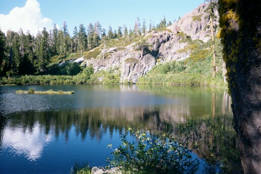
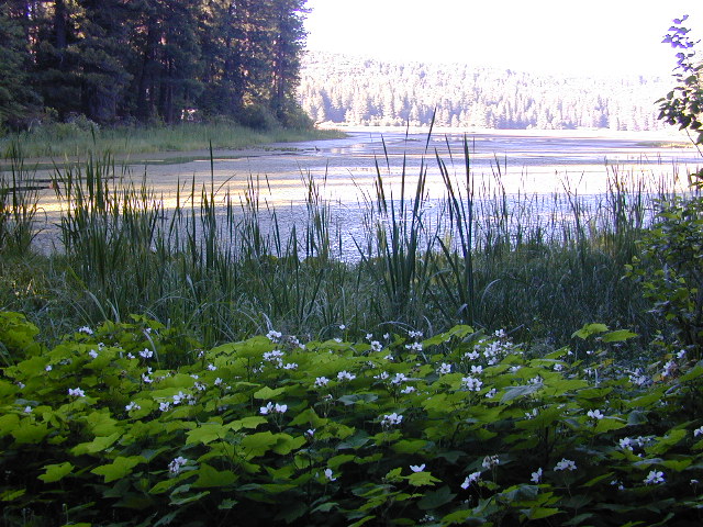
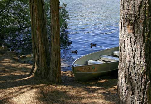
| Reyes Creek | 4000′ | 30 | oaks | vault | yes | creek camping |
| Reyes Peak Pine Mt | 5200′ | 6 | pines | none | no | ridge camping |
| Salt Creek 4×4 | 3000′ | 2 | mixed | no | no | 4WD only |
| Sunset Campground | 4300′ | 2 | cottonwd | no | no | Lockwood / Piru Creek |
| Thorn Meadows | 5000′ | 5 | pine | pit | no | Rd# 7N03C, horse corral |
| Tinta Campground | 3600′ | 3 | pinyon | pit | no | river crossing |
| Toad Springs Camp | 5700′ | 5 | pinyon | pit | no | Rd# 9N09, Quatal Cyn |
| Twin Pines Camp | 6600′ | 5 | pine | vault | no | Dry weather only |
| Valle Vista Camp | 4800′ | 7 | mixed | pit | no | condors, new toilet |
See Mount Pinos Recreation Campgrounds only
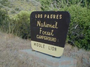
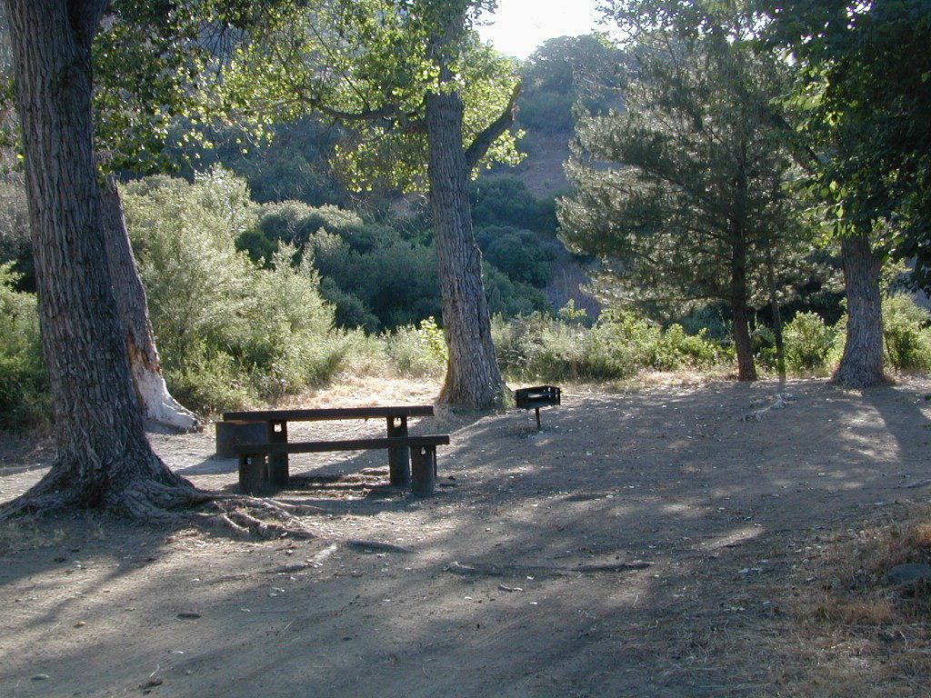
Group Camping Sites in Los Padres Forest

Maps of Los Padres NF –
- Los Padres Forest Maps
- NatGeo Los Padres – East
- NatGeo Los Padres – West
- Sespe Wilderness Trail Map
- Dick Smith Wilderness Map
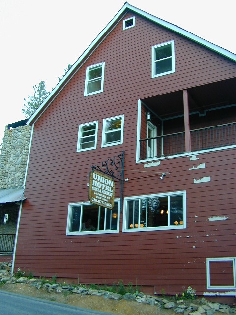
Los Padres mountain towns –

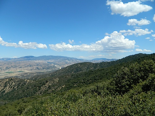
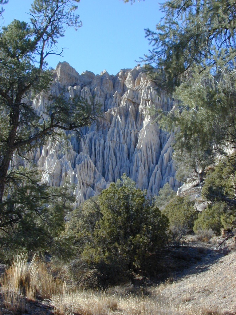
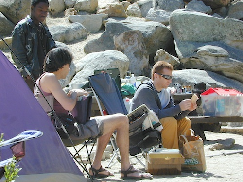
Toad Springs Campground atop Quatal Canyon. Small camps located in Los Padres NF have no fees, and often no toilets – so bring the shovel.
Many dirt roads are gated seasonally for wet weather or snow. Call rangers to find out which routes are open before you plan your weekend. Or have a plan B and C camp site ready if route is closed. Flashfloods, thunderstorms, and erosion means you may all-of-a-sudden need to use your 4WD. This is the mountains after all. UNpredictable weather is common.

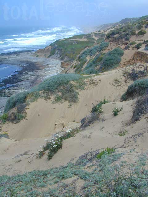
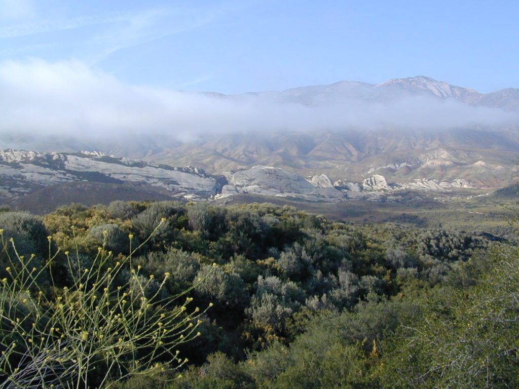
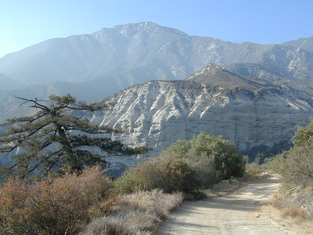
Primitive Camping in Quatal Wash, next to the OHV Route and the Chumash Wilderness


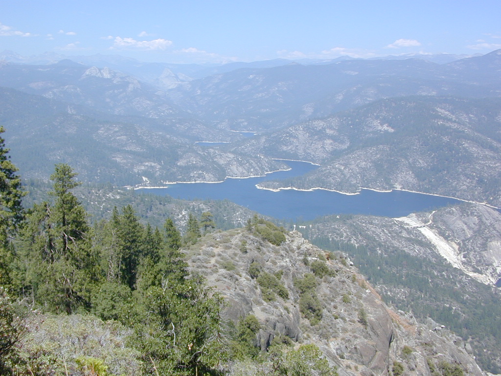
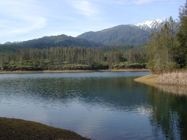
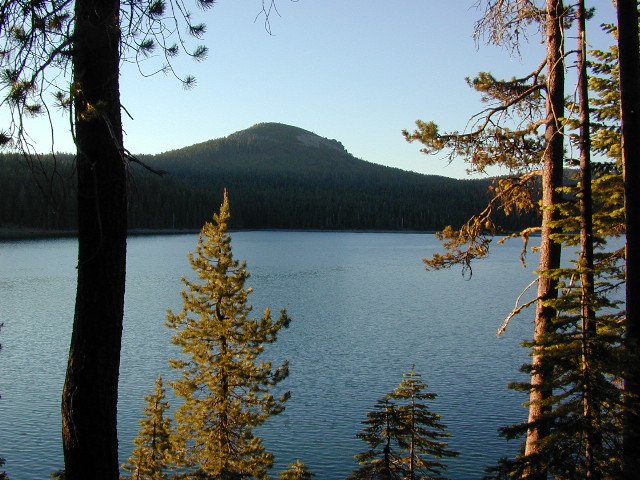
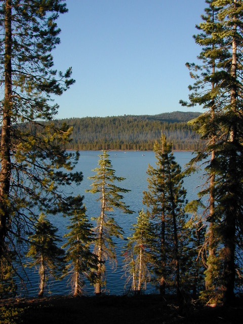
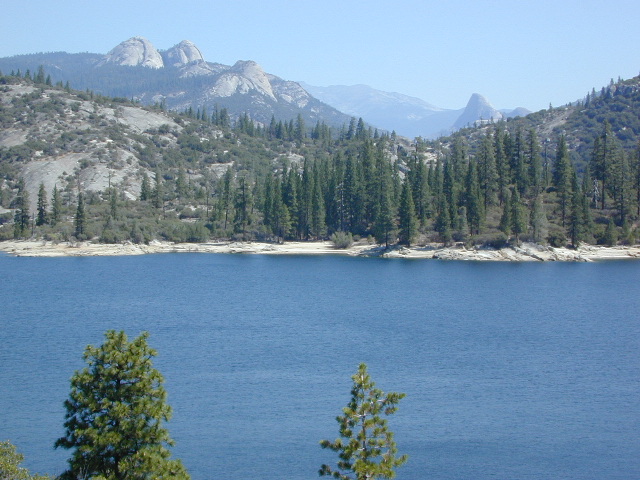
 Sequoia National Forest Campgrounds


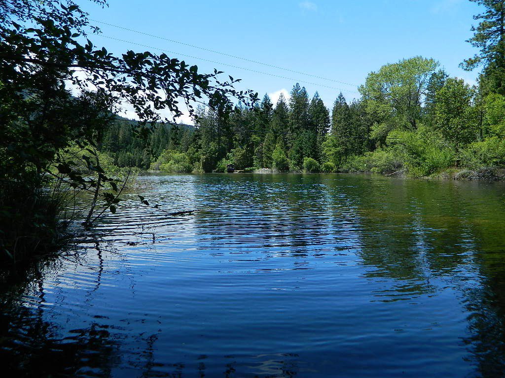
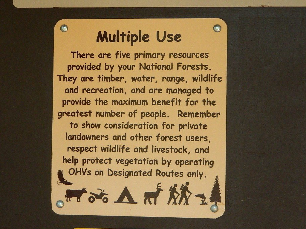
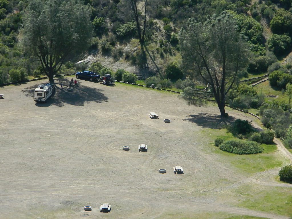
 No day use parking lot inside the campgrounds. Park outside the camping grounds for recreation: fishing, hiking, mountain biking, rafting or wildflowers.
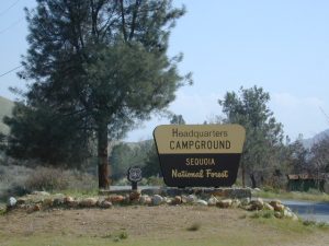


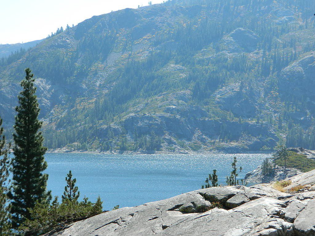
 Grizzly Road, a paved route that leads deeper into the woods and connects over to BEASORE. Back on the main route (Road #81) on the far north end of the loop, a narrow, paved side route connects Clover Meadow Ranger Station and the impressive Granite Creek Campground. Plenty water and hiking trailheads that lead into Ansel Adams Wilderness and Yosemite National Park.